Bog Plantation

Wood, Forest in Cornwall

England

Bog Plantation

St Michael's Mount Morning visitors gather at the west entrance to the castle on the last warm day of summer 2021.
St Michael's Mount Credit: Jonathan Billinger

Bog Plantation is a woodland area located in Cornwall, England. Covering approximately 100 acres, it is characterized by its dense forest of predominantly deciduous trees, including oak, beech, and birch. The plantation also features a variety of wetland habitats, including boggy areas with unique plant species adapted to the damp conditions.

The woodland is home to a diverse range of wildlife, including birds such as woodpeckers, owls, and songbirds, as well as small mammals like squirrels and rabbits. Visitors to Bog Plantation can enjoy peaceful walks through the forest, taking in the sights and sounds of nature all around them. There are also designated paths for hiking and cycling, making it a popular destination for outdoor enthusiasts.

Managed by the Cornwall Wildlife Trust, Bog Plantation is a conservation area aimed at preserving the natural beauty and biodiversity of the region. The Trust works to maintain the woodland's delicate ecosystem, ensuring that both the plant and animal species that call it home are protected for future generations to enjoy. Overall, Bog Plantation offers a tranquil escape into nature, providing a haven for both wildlife and visitors alike.

If you have any feedback on the listing, please let us know in the comments section below.

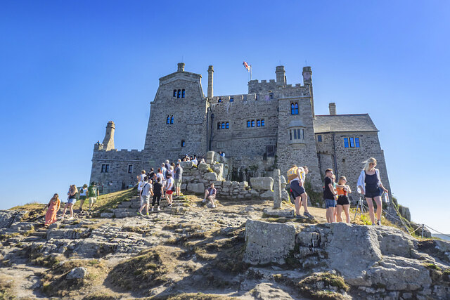
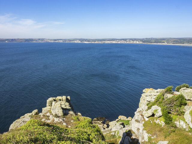
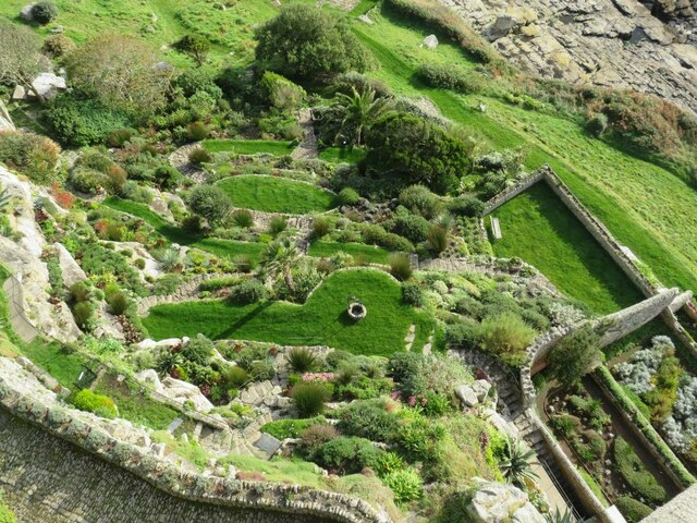
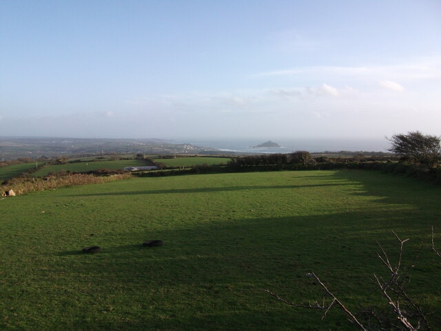
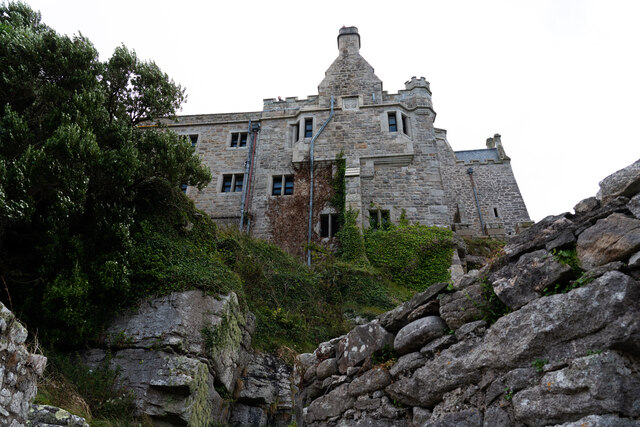
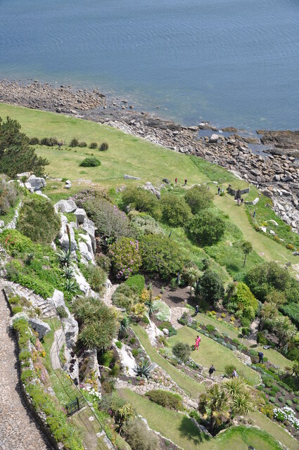
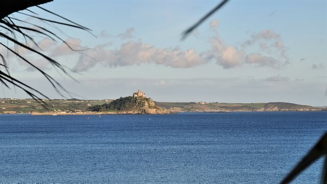
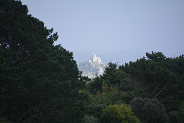
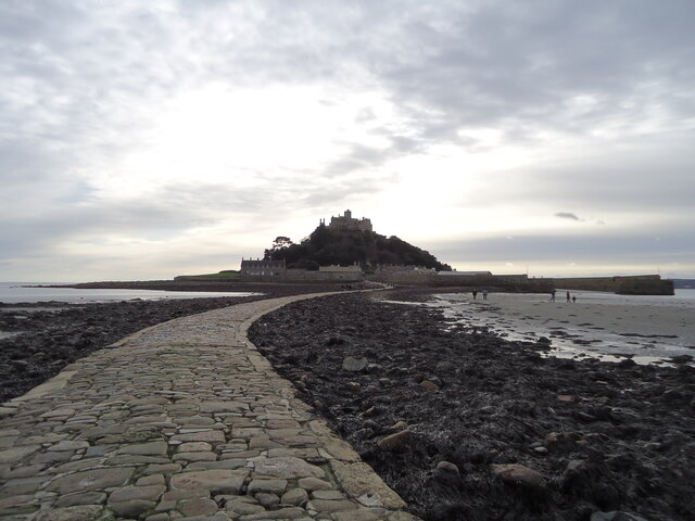
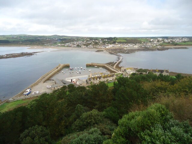
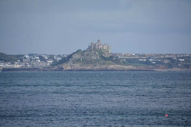
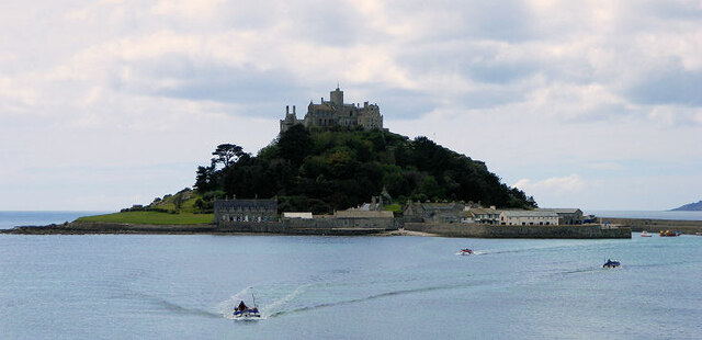
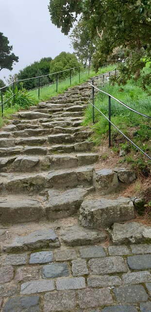
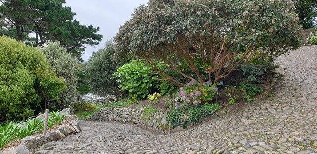
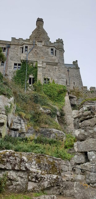
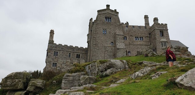
Bog Plantation Images

Images are sourced within 2km of 50.132934/-5.4865497 or Grid Reference SW5031. Thanks to Geograph Open Source API. All images are credited.

St Michael's Mount Morning visitors gather at the west entrance to the castle on the last warm day of summer 2021.
St Michael's Mount
Morning visitors gather at the west entrance to the castle on the last warm day of summer 2021.
Rocky cliff top View west from below the castle entrance.
Penzance in the distance.
Rocky cliff top
View west from below the castle entrance. Penzance in the distance.
Terrace garden, St Michael's Mount The garden which was designed in 1878 for Sir John St Aubyn.
Terrace garden, St Michael's Mount
The garden which was designed in 1878 for Sir John St Aubyn.
View to St. Michael's Mount from Quarry Hill A view over Mounts Bay to St. Michaels Mount from the junction of Quarry Hill and the B3311 above Penzance.
View to St. Michael's Mount from Quarry Hill
A view over Mounts Bay to St. Michaels Mount from the junction of Quarry Hill and the B3311 above Penzance.
Castle of St Michael's Mount viewed from footpath below
The gardens at St. Michael's Mount
St Michael's Mount From Penzance
St Michael's Mount
From Penzance
Madron : St Michael's Mount From Trengwaiton Estate looking across to St Michael's Mount.
Madron : St Michael's Mount
From Trengwaiton Estate looking across to St Michael's Mount.
St Michael's Mount Seen across the causeway which is available when the tide is low.
St Michael's Mount
Seen across the causeway which is available when the tide is low.
St Michael's Mount Looking back across the causeway which is walkable when the tide is out.
St Michael's Mount
Looking back across the causeway which is walkable when the tide is out.
Penzance : Mousehole - Coastal Scenery Looking across the bay towards St Michael's Mount.
Penzance : Mousehole - Coastal Scenery
Looking across the bay towards St Michael's Mount.
St Michael's Mount
St Michael's Mount
Steps up St Michael's Mount Steep, uneven steps up to St Michael's Mount.
Steps up St Michael's Mount
Steep, uneven steps up to St Michael's Mount.
Winding path on St Michael's Mount A winding cobble path up St Michael's Mount with planted gardens surrounding.
Winding path on St Michael's Mount
A winding cobble path up St Michael's Mount with planted gardens surrounding.
The castle, St Michael's Mount Viewed from the winding path below.
The castle, St Michael's Mount
Viewed from the winding path below.
St Michael's Mount castle The castle's west face from down the mount.
St Michael's Mount castle
The castle's west face from down the mount.
St Michael's Mount castle A view of the castle from the west.
St Michael's Mount castle
A view of the castle from the west.
The gardens from above on St Michael's Mount A view of the gardens from above. Access to visit the gardens required an additional booking on top of booking to visit The Mount due to social distancing measures. The queue wrapped twice around the large green to the north of the castle.
The gardens from above on St Michael's Mount
A view of the gardens from above. Access to visit the gardens required an additional booking on top of booking to visit The Mount due to social distancing measures. The queue wrapped twice around the large green to the north of the castle.
Show me another place!

Bog Plantation is located at Grid Ref: SW5031 (Lat: 50.132934, Lng: -5.4865497)

Unitary Authority: Cornwall

Police Authority: Devon and Cornwall

What 3 Words

///wand.steps.slowness. Near Marazion, Cornwall

Nearby Locations

Bog Plantation Newtown

Related Wikis

Varfell

Varfell is a hamlet within the parish of Ludgvan, Cornwall, UK. Varfell Farm is the world's largest producers of daffodil bulbs. == History == In 1882...

Red River (Amal)

The Red River (Cornish: Dowr Amal, meaning boundary river) which discharges into the sea to the west of Marazion is one of two watercourses in Cornwall...

Long Rock

Long Rock (Cornish: Carrek Hyr) is a village in west Cornwall, England, United Kingdom. It is approximately 1 mile (1.6 km) east of Penzance and 1 mile...

Marazion Marsh

Marazion Marsh is a Royal Society for the Protection of Birds (RSPB) reserve situated in a shallow river valley, half a kilometre to the west of Marazion...

Nearby Amenities

Located within 500m of 50.132934,-5.4865497
Bus Stop
Varfell Turn
Bus: yes
Naptan AtcoCode: 0800COD40529
Naptan Bearing: N
Naptan CommonName: Varfell Turn
Naptan NaptanCode: coragdgm
Naptan PlusbusZoneRef: PENZNCE
Naptan Street: A30
Naptan Verified: no
Public Transport: platform
Source: naptan_import
Lat/Long: 50.1352266/-5.4907316
Bus Stop
Varfell Turn
Bus: yes
Naptan AtcoCode: 0800COD40530
Naptan Bearing: S
Naptan CommonName: Varfell Turn
Naptan NaptanCode: coragdgp
Naptan PlusbusZoneRef: PENZNCE
Naptan Street: A30
Naptan Verified: no
Public Transport: platform
Source: naptan_import
Lat/Long: 50.13507/-5.4905522
Bus Stop
Station House
Bus: yes
Naptan AtcoCode: 0800COD40543
Naptan Bearing: SE
Naptan CommonName: Station House
Naptan NaptanCode: coragdjd
Naptan PlusbusZoneRef: PENZNCE
Naptan Street: Newtown Lane
Naptan Verified: no
Public Transport: platform
Shelter: no
Source: naptan_import
Lat/Long: 50.1289198/-5.4892366
Crossing: informal
Lat/Long: 50.1347958/-5.4826535
Barrier: stile
Lat/Long: 50.1348521/-5.4827637
Railway: crossing
Lat/Long: 50.132568/-5.4817166
Barrier: stile
Lat/Long: 50.1372623/-5.4848807
Barrier: stile
Lat/Long: 50.1347532/-5.4826248
Barrier: stile
Lat/Long: 50.1326107/-5.4817529
Bench
Lat/Long: 50.1318551/-5.4814905
Barrier: stile
Lat/Long: 50.1325121/-5.481637
Bench
Lat/Long: 50.1319135/-5.4815603
Railway: crossing
Lat/Long: 50.1325449/-5.4816836
Crossing
Crossing: uncontrolled
Tactile Paving: yes
Lat/Long: 50.1343149/-5.4912723
Crossing
Crossing: uncontrolled
Tactile Paving: yes
Lat/Long: 50.1344372/-5.4912995
Power: pole
Transformer: distribution
Lat/Long: 50.1339921/-5.4831943
Power: pole
Lat/Long: 50.1337273/-5.4841277
Location Transition: yes
Power: pole
Lat/Long: 50.1315369/-5.4900849
Power: pole
Lat/Long: 50.1320046/-5.4901868
Power: pole
Lat/Long: 50.132792/-5.4904148
Power: pole
Transformer: distribution
Lat/Long: 50.1350649/-5.4920375
Location Transition: yes
Power: pole
Lat/Long: 50.133552/-5.4843289
Power: pole
Lat/Long: 50.1336138/-5.4854232
Power: pole
Transformer: distribution
Lat/Long: 50.1332958/-5.4880866
Power: pole
Lat/Long: 50.1331823/-5.4895109
Power: pole
Lat/Long: 50.1331651/-5.4905275
Power: pole
Transformer: distribution
Lat/Long: 50.1338803/-5.4919195
Power: pole
Lat/Long: 50.132333/-5.4798871
Power: pole
Lat/Long: 50.132412/-5.4814991
The data included in this document is from www.openstreetmap.org. The data is made available under ODbL.

Have you been to Bog Plantation?

Leave your review of Bog Plantation below (or comments, questions and feedback).