Sliabh na Mòine

Downs, Moorland in Argyllshire

Scotland

Sliabh na Mòine

A846 near Feolin, Isle of Jura
A846 near Feolin, Isle of Jura Credit: Alpin Stewart

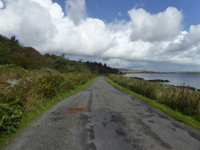
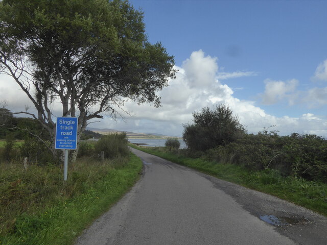
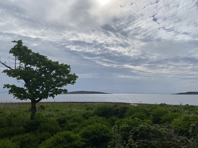
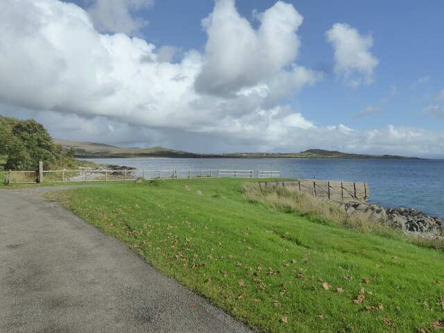
Sliabh na Mòine is a scenic area located in Argyllshire, Scotland. Known for its diverse natural landscapes, it encompasses both downs and moorland, offering visitors a unique and breathtaking experience.

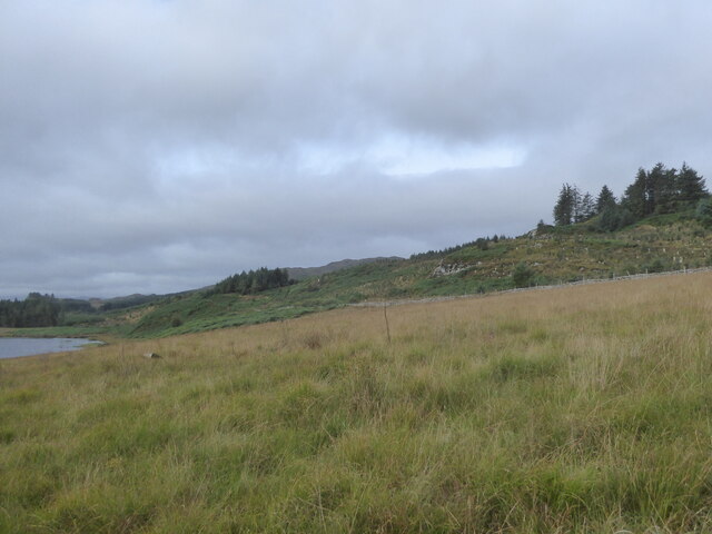
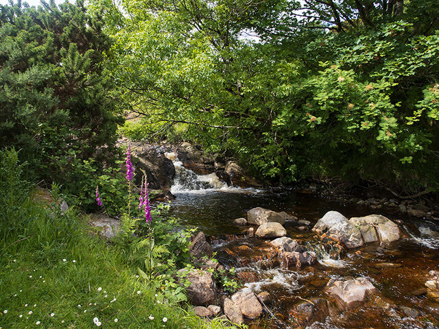
The downs of Sliabh na Mòine are characterized by their rolling hills and grassy expanses. These open spaces provide ample opportunities for hiking, walking, and picnicking. The downs are home to a variety of plant and animal species, adding to the area's natural beauty and ecological significance. Visitors can expect to encounter heather, wildflowers, and various grasses as they explore this picturesque landscape.

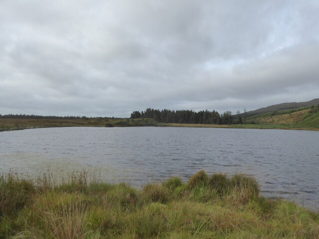
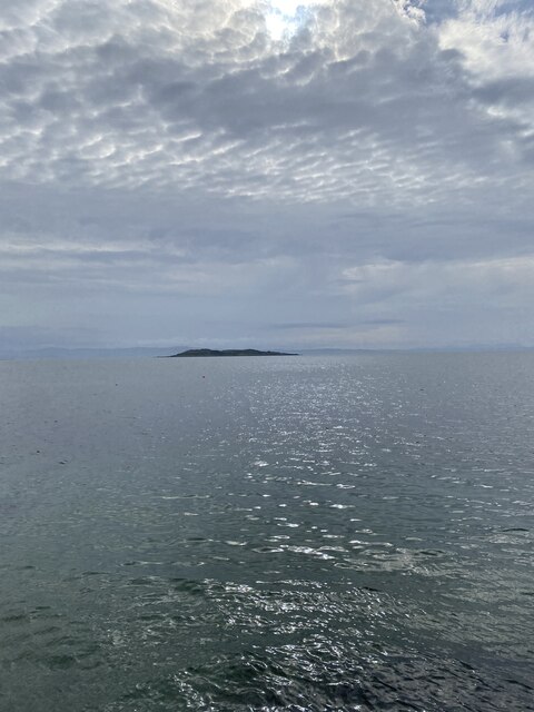
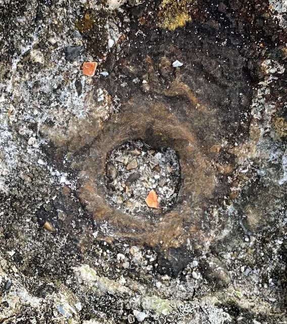
The moorland of Sliabh na Mòine is equally captivating. It is characterized by its vast stretches of open, treeless terrain. The moorland is covered in heather and peat, creating a stunning purple hue when in bloom. This unique ecosystem supports a range of bird species, including grouse and curlews, making it a popular spot for birdwatching. The moorland is also home to various species of grasses, mosses, and ferns, further adding to its rich biodiversity.

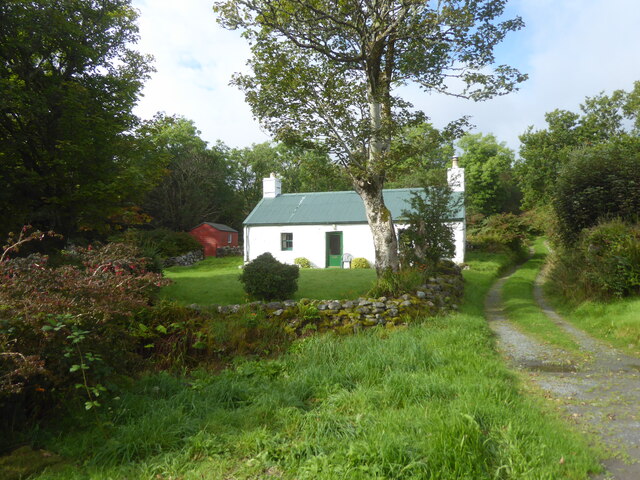
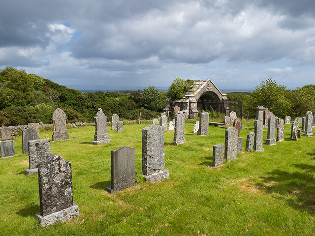
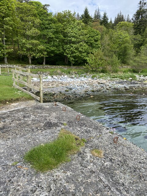
In addition to its natural beauty, Sliabh na Mòine offers visitors a chance to immerse themselves in the history and culture of the region. Nearby attractions include ancient ruins, such as standing stones and burial cairns, which provide insight into the area's past.

Overall, Sliabh na Mòine in Argyllshire is a must-visit destination for nature lovers and those seeking a tranquil escape. Its combination of downs and moorland, along with its rich biodiversity and historical significance, make it a truly remarkable place to explore.

If you have any feedback on the listing, please let us know in the comments section below.

Sliabh na Mòine Images

Images are sourced within 2km of 55.848006/-5.961216 or Grid Reference NR5268. Thanks to Geograph Open Source API. All images are credited.

A846 near Feolin, Isle of Jura
A846 northbound, Isle of Jura
Cottage at Keils, Isle of Jura
Communication masts at Craighouse, Isle of Jura
Rough grazing and woodland above Craighouse, Isle of Jura
Loch a' Mhuilinn, Isle of Jura
Business units at Craighouse, Isle of Jura
Keils Burial Ground
Keils Burial Ground
Abhainn a' Mhinisteir The burn running alongside the Keils burial ground.
Abhainn a' Mhinisteir
The burn running alongside the Keils burial ground.
Views out to sea near Carraig an Fhion
Standing stone, Craighouse
Jura Distillery, Craighouse
Bridge, Craighouse
Bridge, Craighouse
Jetty at Carraig Mhic Illiomhair, Isle of Jura
Views out to sea
Views out to sea
OS Bolt - Jura Forest Pier <span class="nowrap"><a title="https://www.bench-marks.org.uk/bm204548" rel="nofollow ugc noopener" href="https://www.bench-marks.org.uk/bm204548">Link</a><img style="margin-left:2px;" alt="External link" title="External link - shift click to open in new window" src="https://s1.geograph.org.uk/img/external.png" width="10" height="10"/></span>
OS Bolt - Jura Forest Pier
Location of OS Bolt - Jura Forest Pier
OS - Jura Forest Pier - Pipe <span class="nowrap"><a title="https://trigpointing.uk/wiki/Pipe" rel="nofollow ugc noopener" href="https://trigpointing.uk/wiki/Pipe">Link</a><img style="margin-left:2px;" alt="External link" title="External link - shift click to open in new window" src="https://s1.geograph.org.uk/img/external.png" width="10" height="10"/></span>
There are 27 instances of a pipe in the OSGB36 list. 22 of these are in common with the T:UK list with 5 additional and one not included. The 5 'extras' are all roof stations, classified by T:UK as Intersected Stations and all are thought to be destroyed. Descriptions of these include 'Iron Pipe', 'Vent Pipe', 'Wtr Twr' and 'Resr Syphon'. The pipe mark at Gugh is not in the OSGB36 list.
OS - Jura Forest Pier - Pipe
LinkExternal link There are 27 instances of a pipe in the OSGB36 list. 22 of these are in common with the T:UK list with 5 additional and one not included. The 5 'extras' are all roof stations, classified by T:UK as Intersected Stations and all are thought to be destroyed. Descriptions of these include 'Iron Pipe', 'Vent Pipe', 'Wtr Twr' and 'Resr Syphon'. The pipe mark at Gugh is not in the OSGB36 list.
Show me another place!

Sliabh na Mòine is located at Grid Ref: NR5268 (Lat: 55.848006, Lng: -5.961216)

Unitary Authority: Argyll and Bute

Police Authority: Argyll and West Dunbartonshire

What 3 Words

///flopped.alike.names. Near Craighouse, Argyll & Bute

Related Wikis

Keils

Keils formerly Kilearnadill is a hamlet 0.25 miles (0.40 km) from Craighouse on the island of Jura, in the council area of Argyll and Bute, Scotland. Keils...
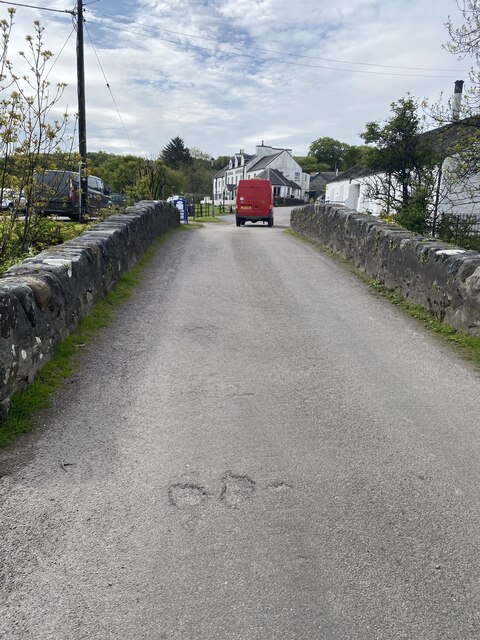
Craighouse

Craighouse (Scottish Gaelic: Taigh na Creige) is the main settlement and capital of the Scottish Inner Hebridean island of Jura, in Argyll and Bute. In...
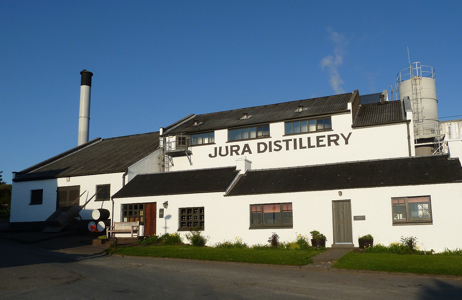
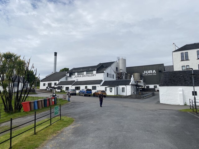
Jura distillery

Jura distillery is a Scotch whisky distillery on the island of Jura in the Inner Hebrides off the West Coast of Scotland. The distillery is operated by...

Small Isles, Argyll

The Small Isles are a group of uninhabited islands east of Jura, in the council area of Argyll and Bute, Scotland. From south to north, the five islands...

Nearby Amenities

Located within 500m of 55.848006,-5.961216
Parking
Lat/Long: 55.8484798/-5.9568052
A' Chill
Is In: Argyll and Bute, Scotland
Name En: Keils
Name Gd: A' Chill
Place: hamlet
Lat/Long: 55.8457646/-5.9548025
A changing community
Board Type: history
Information: board
Tourism: information
Lat/Long: 55.8477542/-5.9550705
Clan Shaw of Argyll and the Isles
Historic: memorial
Lat/Long: 55.8478875/-5.9566884
The data included in this document is from www.openstreetmap.org. The data is made available under ODbL.

Have you been to Sliabh na Mòine?

Leave your review of Sliabh na Mòine below (or comments, questions and feedback).