Round Pot
Cliff, Slope in Aberdeenshire
Scotland
Round Pot
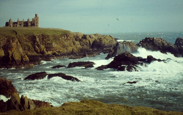
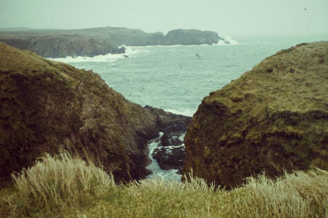
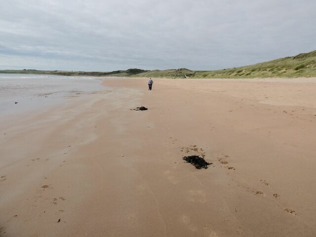
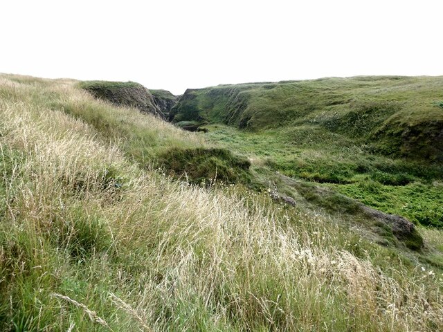
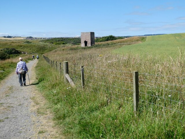
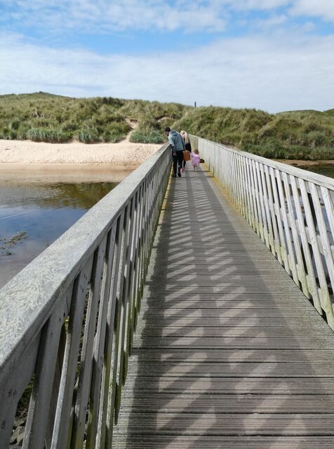
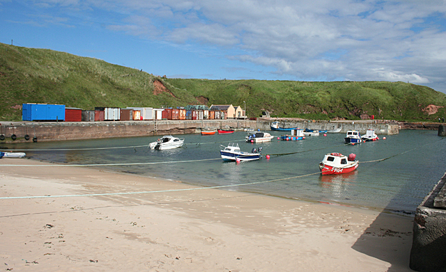
Round Pot is a geological formation located in Aberdeenshire, Scotland. It is situated on a cliff and is known for its distinctive round shape and steep slopes. This natural feature is a popular attraction for both locals and tourists due to its unique appearance and stunning views.
The Round Pot is a result of erosion caused by natural forces over millions of years. The cliffs surrounding the formation are composed of sedimentary rocks, primarily sandstone and shale, which have been shaped by the relentless action of wind, water, and ice. The circular shape of the pot is believed to have been created by the constant swirling motion of water at the base of the cliff.
The slopes of Round Pot are steep and can be challenging to navigate, making it an ideal spot for hikers and rock climbers seeking a thrilling adventure. The rugged terrain offers a variety of routes and challenges for outdoor enthusiasts, with opportunities for both beginner and experienced climbers.
The panoramic views from the top of Round Pot are breathtaking, showcasing the picturesque landscapes of Aberdeenshire. On a clear day, visitors can enjoy vistas of rolling hills, lush greenery, and nearby bodies of water. The cliff's elevation also provides an excellent vantage point for birdwatching, as various species of birds can be spotted soaring above the surrounding countryside.
As a natural landmark, Round Pot serves as a reminder of the powerful forces that have shaped the Aberdeenshire region over time. Its striking appearance, challenging terrain, and scenic vistas make it a must-visit destination for nature lovers and adventure seekers alike.
If you have any feedback on the listing, please let us know in the comments section below.
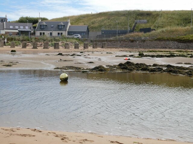
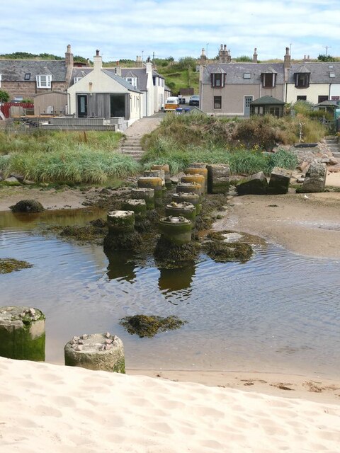
Round Pot Images
Images are sourced within 2km of 57.410378/-1.841511 or Grid Reference NK0935. Thanks to Geograph Open Source API. All images are credited.

Round Pot is located at Grid Ref: NK0935 (Lat: 57.410378, Lng: -1.841511)
Unitary Authority: Aberdeenshire
Police Authority: North East
What 3 Words
///paces.internet.carpets. Near Port Erroll, Aberdeenshire
Nearby Locations
Related Wikis

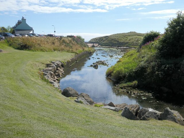
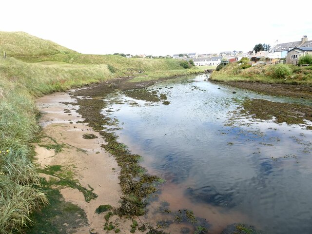
Water of Cruden
The Water of Cruden is a short broadly east-flowing river in Buchan in northeast Scotland. Its headwaters streams rise in the countryside north of Ellon...

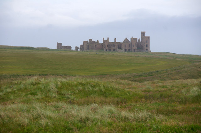
New Slains Castle
Slains Castle, also known as New Slains Castle to distinguish it from the nearby Old Slains Castle, is a ruined castle in Aberdeenshire, Scotland. It overlooks...

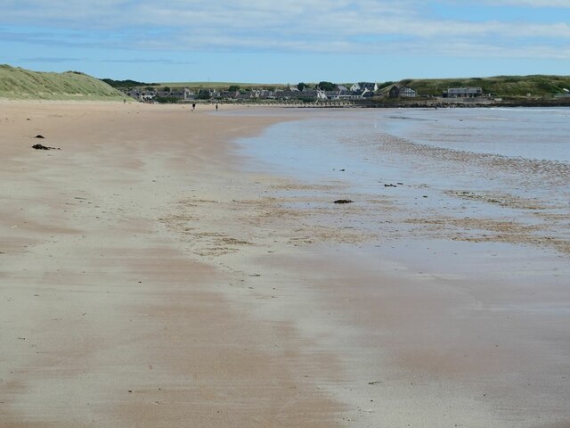
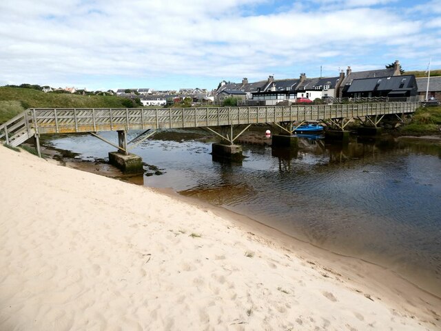
Cruden Bay
Cruden Bay is a small village in Scotland, on the north coast of the Bay of Cruden in Aberdeenshire, 26 miles (42 km) north of Aberdeen. Just west of Slains...

Cruden Bay Hotel
Cruden Bay Hotel was a hotel in Cruden Bay, Aberdeenshire, Scotland. Following the success of the Palace Hotel in Aberdeen, it was built between 1897 and...

Cruden Bay Hotel Tramway
The Cruden Bay Hotel Tramway operated an electric tramway service between the Cruden Bay Hotel and Cruden Bay railway station between 1899 and 1940....

Cruden Bay railway station
Cruden Bay railway station was a railway station serving Cruden Bay, Aberdeenshire, Scotland. == History == The station opened on 2 August 1897.The station...

Bullers O'Buchan Platform railway station
Bullers O'Buchan Platform railway station also known as Bullers O'Buchan Halt railway station was a railway station serving visitors to the Bullers of...

St Olaf's Church (Cruden)
St Olaf's Church (also known as Old Parish Church) is a Category B listed building in Cruden, Aberdeenshire, Scotland, dating to 1776. It is of Church...
Nearby Amenities
Located within 500m of 57.410378,-1.841511Have you been to Round Pot?
Leave your review of Round Pot below (or comments, questions and feedback).