The Donnons
Island in Aberdeenshire
Scotland
The Donnons
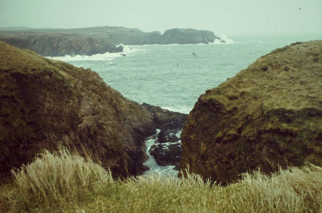
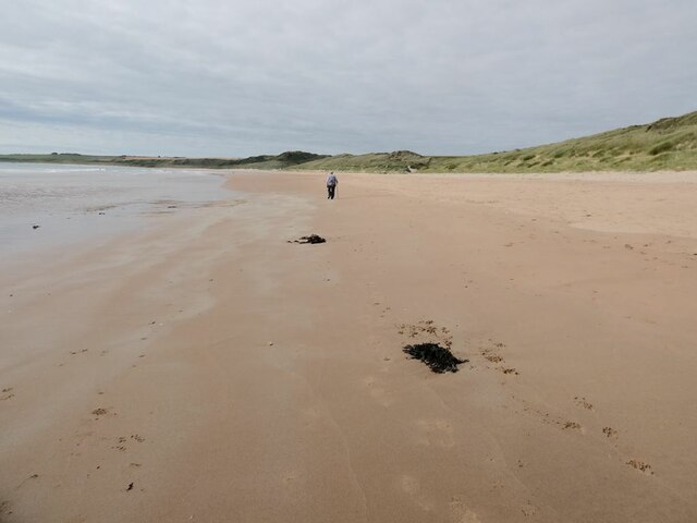
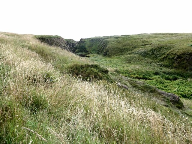
The Donnons is a picturesque island located off the coast of Aberdeenshire, Scotland. It is a small, uninhabited island that spans approximately 10 acres in size. The island boasts stunning natural beauty, with rugged cliffs, pristine sandy beaches, and lush green vegetation.
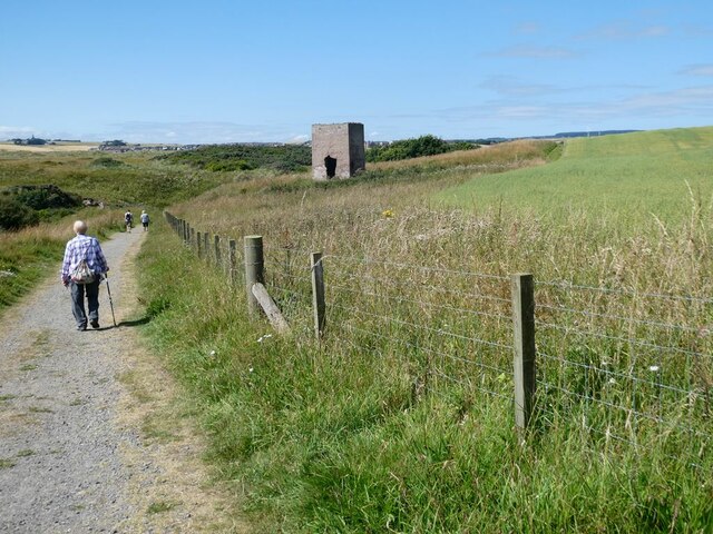
Access to The Donnons is only possible by boat, and it is a popular destination for boating enthusiasts and nature lovers alike. The crystal-clear waters surrounding the island are ideal for snorkeling and diving, providing a unique opportunity to explore the diverse marine life that inhabits the area.
The island is also home to a variety of bird species, making it a haven for birdwatchers. Visitors can spot a range of birds, including puffins, guillemots, and razorbills, nesting on the cliffs during breeding season. The Donnons is designated as a Site of Special Scientific Interest due to its important role in supporting these bird populations.
For those seeking tranquility and solitude, The Donnons offers a peaceful retreat away from the hustle and bustle of everyday life. Its untouched landscapes and breathtaking views provide the perfect backdrop for a relaxing day trip or camping experience. However, visitors must be mindful of the fragile ecosystem and adhere to any conservation regulations in place.
Overall, The Donnons is a hidden gem in Aberdeenshire, offering visitors a chance to connect with nature and escape the pressures of modern life. Its unspoiled beauty and rich wildlife make it a must-visit destination for those seeking a truly immersive outdoor experience.
If you have any feedback on the listing, please let us know in the comments section below.
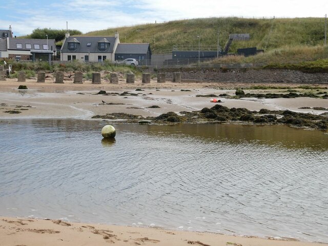
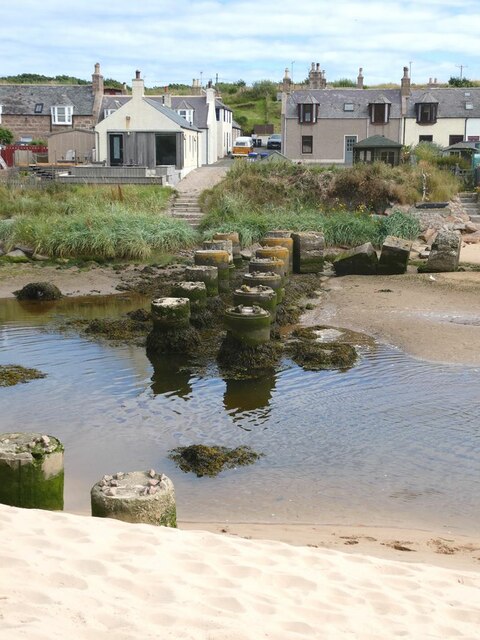
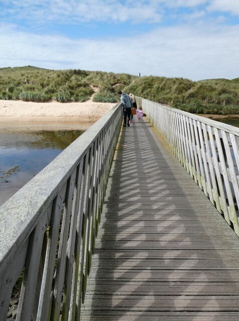
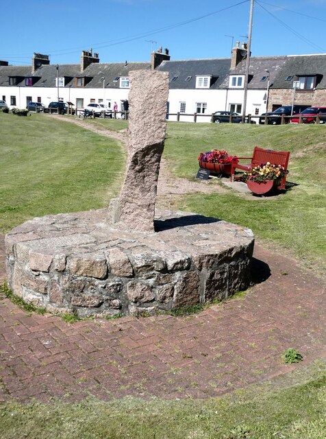
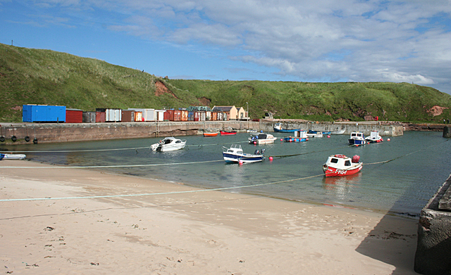
The Donnons Images
Images are sourced within 2km of 57.411772/-1.8358123 or Grid Reference NK0935. Thanks to Geograph Open Source API. All images are credited.


The Donnons is located at Grid Ref: NK0935 (Lat: 57.411772, Lng: -1.8358123)
Unitary Authority: Aberdeenshire
Police Authority: North East
What 3 Words
///could.junction.broached. Near Port Erroll, Aberdeenshire
Nearby Locations
Related Wikis

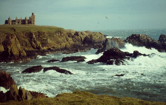
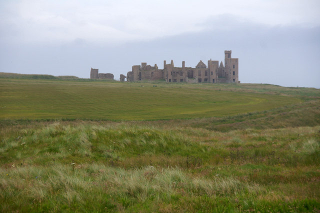
New Slains Castle
Slains Castle, also known as New Slains Castle to distinguish it from the nearby Old Slains Castle, is a ruined castle in Aberdeenshire, Scotland. It overlooks...

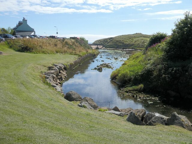
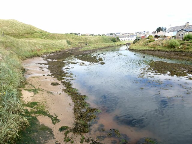
Water of Cruden
The Water of Cruden is a short broadly east-flowing river in Buchan in northeast Scotland. Its headwaters streams rise in the countryside north of Ellon...

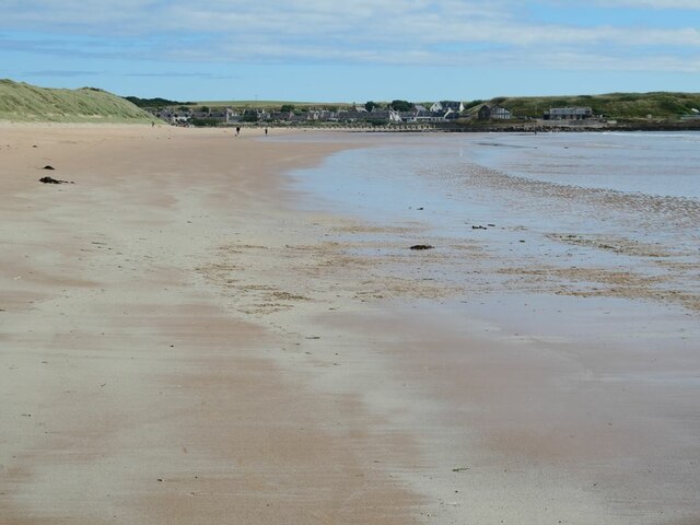
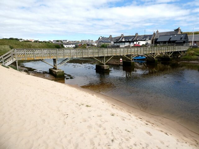
Cruden Bay
Cruden Bay is a small village in Scotland, on the north coast of the Bay of Cruden in Aberdeenshire, 26 miles (42 km) north of Aberdeen. Just west of Slains...

Cruden Bay Hotel
Cruden Bay Hotel was a hotel in Cruden Bay, Aberdeenshire, Scotland. Following the success of the Palace Hotel in Aberdeen, it was built between 1897 and...

Cruden Bay Hotel Tramway
The Cruden Bay Hotel Tramway operated an electric tramway service between the Cruden Bay Hotel and Cruden Bay railway station between 1899 and 1940....

Cruden Bay railway station
Cruden Bay railway station was a railway station serving Cruden Bay, Aberdeenshire, Scotland. == History == The station opened on 2 August 1897.The station...

Bullers O'Buchan Platform railway station
Bullers O'Buchan Platform railway station also known as Bullers O'Buchan Halt railway station was a railway station serving visitors to the Bullers of...

Bullers of Buchan
The name Bullers of Buchan refers both to a collapsed sea cave and to the adjacent village, situated about 6 miles (9.7 km) south of Peterhead in Buchan...
Nearby Amenities
Located within 500m of 57.411772,-1.8358123Have you been to The Donnons?
Leave your review of The Donnons below (or comments, questions and feedback).