Hummock

Island in Aberdeenshire

Scotland

Hummock

Stormy Coast A rough day at New Slains Castle with big waves battering the rocky Buchan coast.
Stormy Coast Credit: Colin Smith

Hummock is a small island located off the northeastern coast of Scotland in Aberdeenshire. It is situated in the North Sea, approximately 2 miles off the mainland, and is part of the Grampian archipelago. With a land area of around 1 square mile, Hummock is relatively small in size.

The island is characterized by its rugged and rocky terrain, with its highest point reaching approximately 100 feet above sea level. The coastline is predominantly steep cliffs, providing breathtaking views of the surrounding sea and the mainland in the distance. The island is uninhabited and lacks any permanent structures or facilities.

Hummock is known for its rich biodiversity and serves as an important breeding ground for various species of seabirds. It is particularly renowned for being home to a large colony of puffins, which attract birdwatchers and nature enthusiasts from around the world. The island's remote location and lack of human disturbance make it an ideal sanctuary for these birds.

Access to Hummock is primarily by boat, and there are no regular ferry services. It is a popular destination for day trips and wildlife tours, allowing visitors to experience the natural beauty and observe the diverse seabird population. However, due to its exposed location and unpredictable weather conditions, it is advisable to check local conditions and consult with experienced guides before planning a visit.

Overall, Hummock is a picturesque and unspoiled island, offering a unique opportunity to explore the Scottish coastline and observe thriving wildlife in their natural habitat.

If you have any feedback on the listing, please let us know in the comments section below.
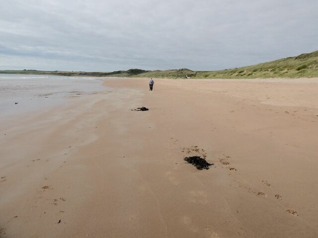
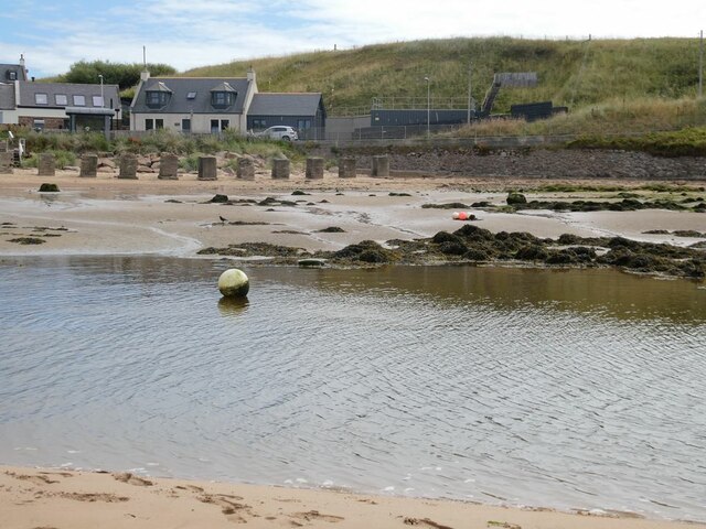
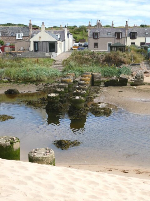
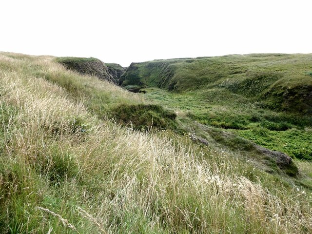
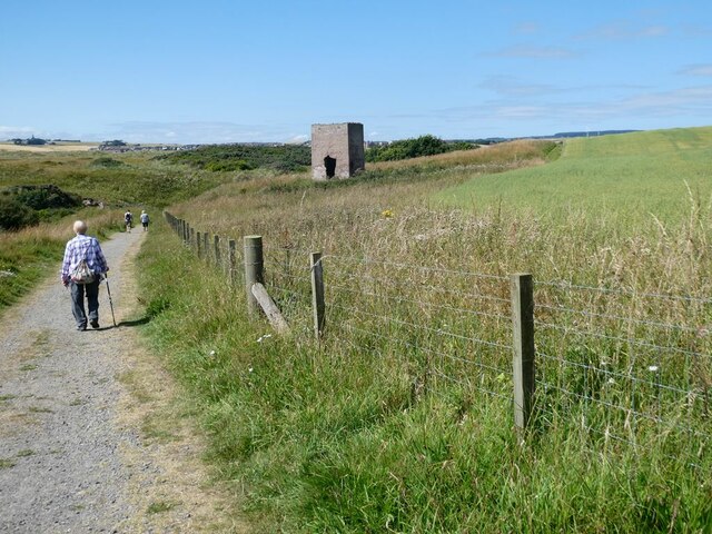
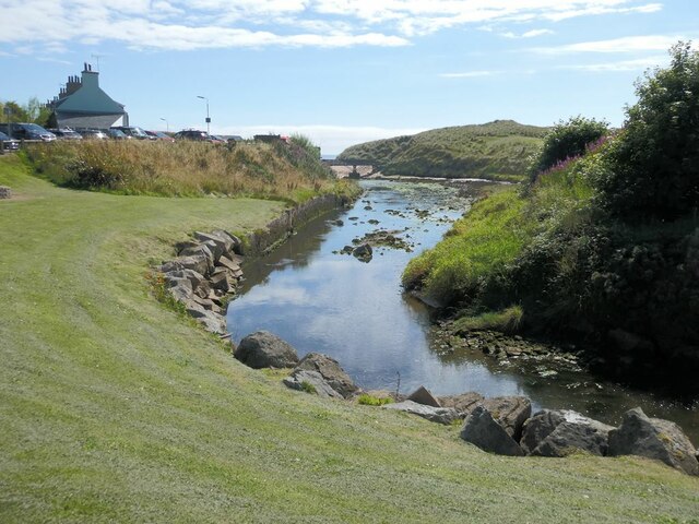
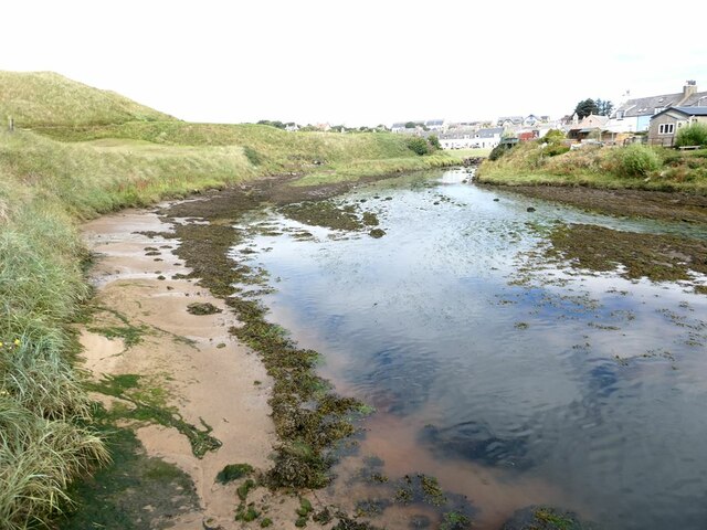
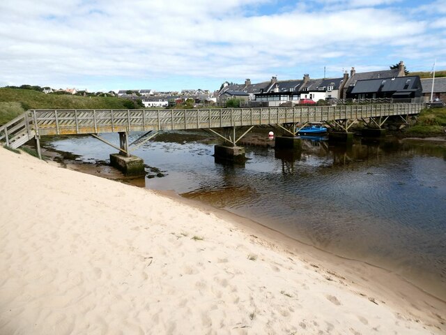
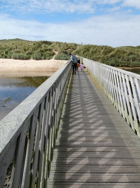
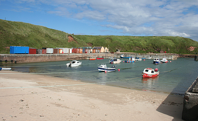
Hummock Images

Images are sourced within 2km of 57.409611/-1.8389011 or Grid Reference NK0935. Thanks to Geograph Open Source API. All images are credited.

Stormy Coast A rough day at New Slains Castle with big waves battering the rocky Buchan coast.
Stormy Coast
A rough day at New Slains Castle with big waves battering the rocky Buchan coast.
Long Haven Deep and extensive geo to the north of New Slains Castle.
Long Haven
Deep and extensive geo to the north of New Slains Castle.
Track to Slains Castle, Cruden Bay
Slains Castle from above Port Erroll harbour
The beach at Cruden Bay Looking north-east towards the village.
The beach at Cruden Bay
Looking north-east towards the village.
The beach at Cruden Bay Looking south-west.
The beach at Cruden Bay
Looking south-west.
Mouth of the Water of Cruden A line of anti-tank blocks on the far bank.
Mouth of the Water of Cruden
A line of anti-tank blocks on the far bank.
Old bridge piers in the mouth of the Water of Cruden Piers  of an old bridge - although it is not clear what bridge this was. The houses of Port Erroll beyond.
Old bridge piers in the mouth of the Water of Cruden
Piers of an old bridge - although it is not clear what bridge this was. The houses of Port Erroll beyond.
Valley behind Goat's Hillock A well-vegetated low-lying valley runs between the river front at Cruden Bay and the open coast at the Donnons.
Valley behind Goat's Hillock
A well-vegetated low-lying valley runs between the river front at Cruden Bay and the open coast at the Donnons.
The path from Slains Castle to Cruden Bay The concrete structure in the field is probably the old dovecote for Slains Castle.
The path from Slains Castle to Cruden Bay
The concrete structure in the field is probably the old dovecote for Slains Castle.
Water of Cruden Looking downstream towards Ladies Bridge.
Water of Cruden
Looking downstream towards Ladies Bridge.
Water of Cruden Looking upstream  from Ladies Bridge.
Water of Cruden
Looking upstream from Ladies Bridge.
Ladies Bridge The original bridge which provided the only practicable access to the beach was built  in 1922, funded by a group of local ladies (hence "Ladies" Bridge). After falling into disrepair, it was rebuilt in 2015.
Ladies Bridge
The original bridge which provided the only practicable access to the beach was built in 1922, funded by a group of local ladies (hence "Ladies" Bridge). After falling into disrepair, it was rebuilt in 2015.
Aviation memorial Memorial commemorating the first flight across the North Sea from Cruden Bay to Maleneset in Norway by Tryggve Gran on 30 July 1914.
Aviation memorial
Memorial commemorating the first flight across the North Sea from Cruden Bay to Maleneset in Norway by Tryggve Gran on 30 July 1914.
Cottage on Harbour Street In Port Errol.
Cottage on Harbour Street
In Port Errol.
Hydration Station Useful facility  on Harbour Street.
Hydration Station
Useful facility on Harbour Street.
Port Erroll Harbour The harbour was built by the Earl of Erroll, owner of nearby Slains Castle, in the late 1870s, at a cost of £14,000.
Port Erroll Harbour
The harbour was built by the Earl of Erroll, owner of nearby Slains Castle, in the late 1870s, at a cost of £14,000.
Show me another place!

Hummock is located at Grid Ref: NK0935 (Lat: 57.409611, Lng: -1.8389011)

Unitary Authority: Aberdeenshire

Police Authority: North East

What 3 Words

///ironclad.ranches.hurry. Near Port Erroll, Aberdeenshire

Related Wikis

Water of Cruden

The Water of Cruden is a short broadly east-flowing river in Buchan in northeast Scotland. Its headwaters streams rise in the countryside north of Ellon...
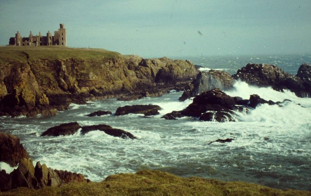
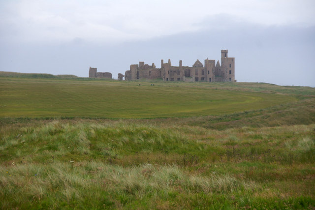
New Slains Castle

Slains Castle, also known as New Slains Castle to distinguish it from the nearby Old Slains Castle, is a ruined castle in Aberdeenshire, Scotland. It overlooks...
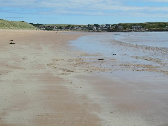
Cruden Bay

Cruden Bay is a small village in Scotland, on the north coast of the Bay of Cruden in Aberdeenshire, 26 miles (42 km) north of Aberdeen. Just west of Slains...

Cruden Bay Hotel

Cruden Bay Hotel was a hotel in Cruden Bay, Aberdeenshire, Scotland. Following the success of the Palace Hotel in Aberdeen, it was built between 1897 and...

Cruden Bay Hotel Tramway

The Cruden Bay Hotel Tramway operated an electric tramway service between the Cruden Bay Hotel and Cruden Bay railway station between 1899 and 1940....

Cruden Bay railway station

Cruden Bay railway station was a railway station serving Cruden Bay, Aberdeenshire, Scotland. == History == The station opened on 2 August 1897.The station...

Bullers O'Buchan Platform railway station

Bullers O'Buchan Platform railway station also known as Bullers O'Buchan Halt railway station was a railway station serving visitors to the Bullers of...
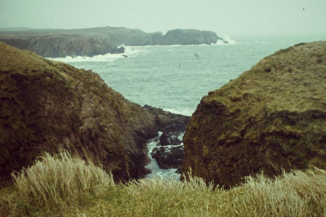
Bullers of Buchan

The name Bullers of Buchan refers both to a collapsed sea cave and to the adjacent village, situated about 6 miles (9.7 km) south of Peterhead in Buchan...

Nearby Amenities

Located within 500m of 57.409611,-1.8389011
Source: OS7
Lat/Long: 57.4119833/-1.8356077
Source: OS7
Lat/Long: 57.4110489/-1.8352344
Source: OS7
Lat/Long: 57.4110821/-1.836466
Source: OS7
Lat/Long: 57.4096574/-1.8398799
Source: OS7
Lat/Long: 57.4100041/-1.8400774
Source: OS7
Lat/Long: 57.41002/-1.8413321
Source: OS7
Lat/Long: 57.4100026/-1.8421191
Source: OS7
Lat/Long: 57.4099943/-1.8429988
Source: OS7
Lat/Long: 57.4100877/-1.8433358
Source: OS7
Lat/Long: 57.4100646/-1.8435397
Source: OS7
Lat/Long: 57.4108505/-1.8450846
Source: Old Landsat image trace
Lat/Long: 57.4110932/-1.8458142
Source: Old Landsat image trace
Lat/Long: 57.4112954/-1.8457241
Source: Old Landsat image trace
Lat/Long: 57.4115034/-1.8458464
Source: OS7
Lat/Long: 57.4125759/-1.835597
Source: OS7
Lat/Long: 57.413392/-1.8356957
Toilets
Lat/Long: 57.4117318/-1.8450174
Leisure: slipway
Lat/Long: 57.4113496/-1.8450416
Leisure: picnic_table
Lat/Long: 57.4116481/-1.84484
Drinking Water
Lat/Long: 57.4116767/-1.8450722
The Donnons
Natural: cape
Lat/Long: 57.41194/-1.8347016
Old Water Moo'
Natural: bay
Lat/Long: 57.4109634/-1.836783
Wardhill
Natural: peak
Lat/Long: 57.4119631/-1.8430379
Goat's Hillock
Natural: peak
Lat/Long: 57.4105589/-1.8403128
The data included in this document is from www.openstreetmap.org. The data is made available under ODbL.

Have you been to Hummock?

Leave your review of Hummock below (or comments, questions and feedback).