Goats' Hillock
Hill, Mountain in Aberdeenshire
Scotland
Goats' Hillock
Goats' Hillock is a prominent hill located in Aberdeenshire, Scotland. Standing at an elevation of approximately 489 meters (1,604 feet), it is classified as a hill rather than a mountain. The hill is situated in the Howe of Cromar region, near the village of Tarland.
Goats' Hillock boasts a distinctive shape, characterized by a rounded summit that offers breathtaking panoramic views of the surrounding countryside. The hill is covered in heather and grass, creating an enchanting landscape, especially during the summer months when the heather blooms, blanketing the area in vibrant purple hues.
The hill holds historical significance, as it is believed to have been a stronghold during the Pictish era. Archaeological evidence suggests that the hill was fortified, with remnants of ancient ramparts and ditches still visible today.
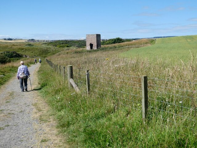
Numerous walking trails and paths lead visitors to the summit of Goats' Hillock, offering opportunities for outdoor enthusiasts to explore the hill's natural beauty. The ascent is not overly challenging, making it accessible to a wide range of fitness levels. From the top, hikers are rewarded with stunning views of the surrounding countryside, including the picturesque Howe of Cromar, the Cairngorms National Park, and the Grampian Mountains.
Goats' Hillock is a popular destination for hikers, nature lovers, and photographers seeking to capture the scenic beauty of Aberdeenshire. Whether it's a leisurely stroll or a more adventurous hike, this hill provides a memorable experience for all who visit.
If you have any feedback on the listing, please let us know in the comments section below.
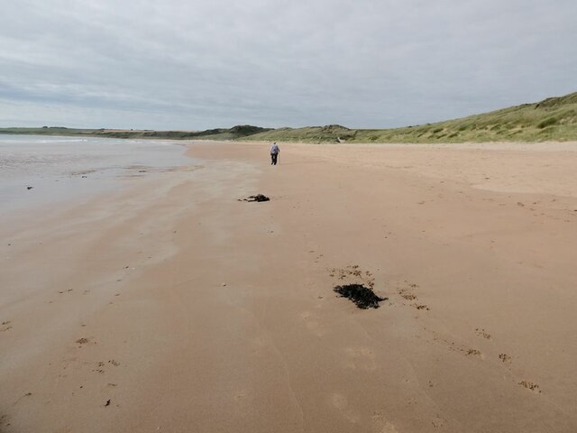
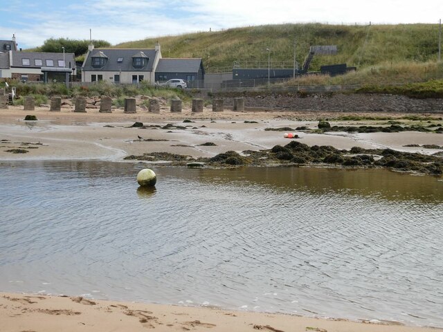
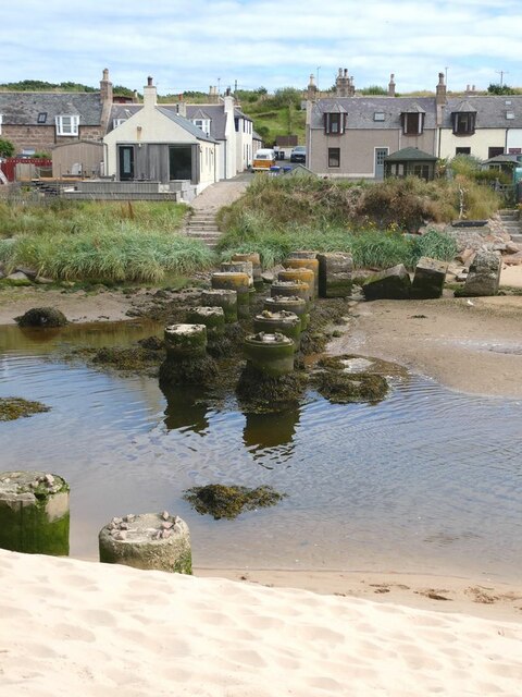
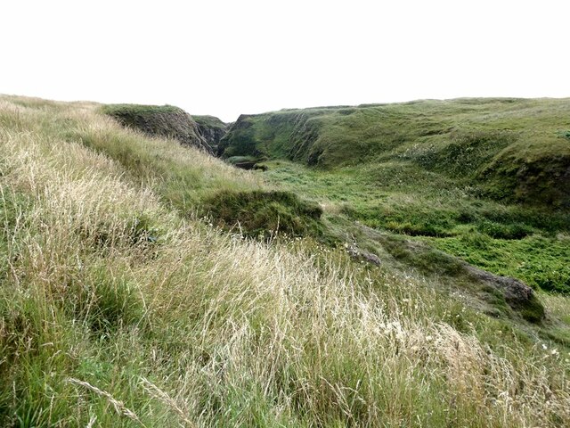
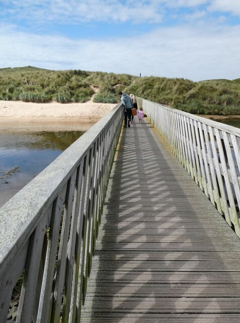
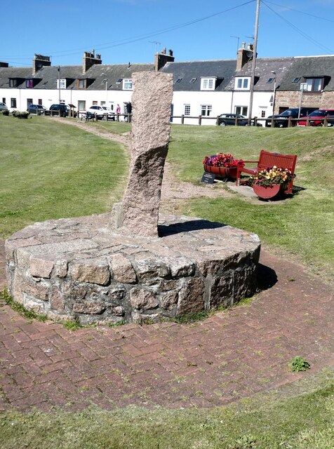
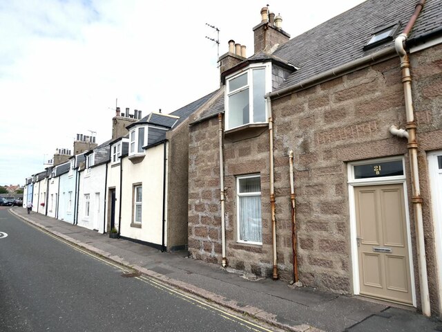
Goats' Hillock Images
Images are sourced within 2km of 57.411729/-1.8439354 or Grid Reference NK0935. Thanks to Geograph Open Source API. All images are credited.

Goats' Hillock is located at Grid Ref: NK0935 (Lat: 57.411729, Lng: -1.8439354)
Unitary Authority: Aberdeenshire
Police Authority: North East
What 3 Words
///windmill.inversely.tailing. Near Port Erroll, Aberdeenshire
Nearby Locations
Related Wikis

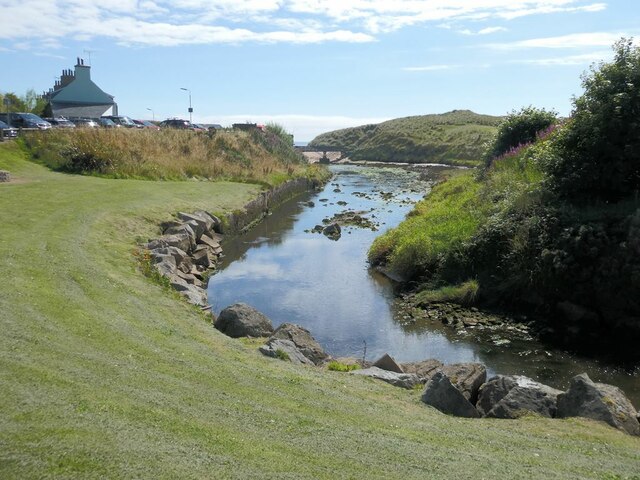
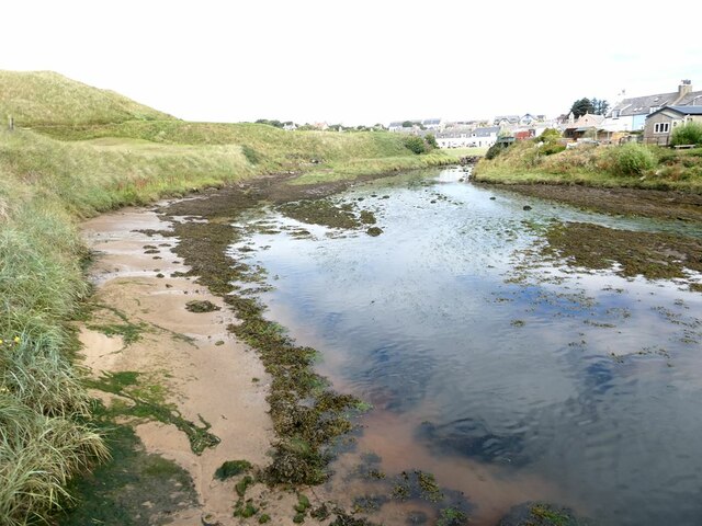
Water of Cruden
The Water of Cruden is a short broadly east-flowing river in Buchan in northeast Scotland. Its headwaters streams rise in the countryside north of Ellon...

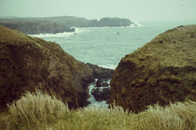
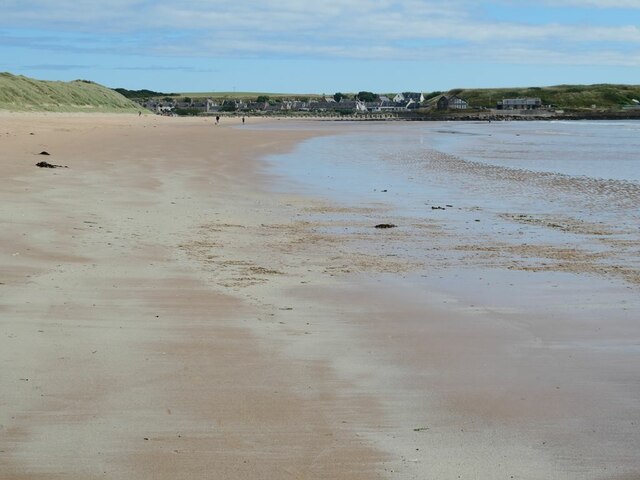
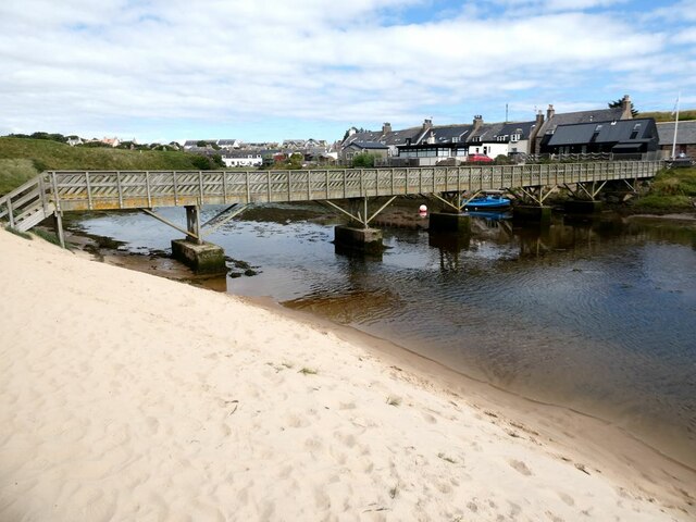
Cruden Bay
Cruden Bay is a small village in Scotland, on the north coast of the Bay of Cruden in Aberdeenshire, 26 miles (42 km) north of Aberdeen. Just west of Slains...

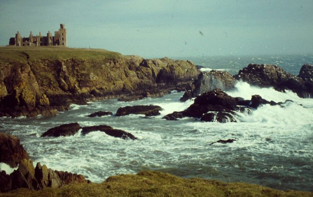
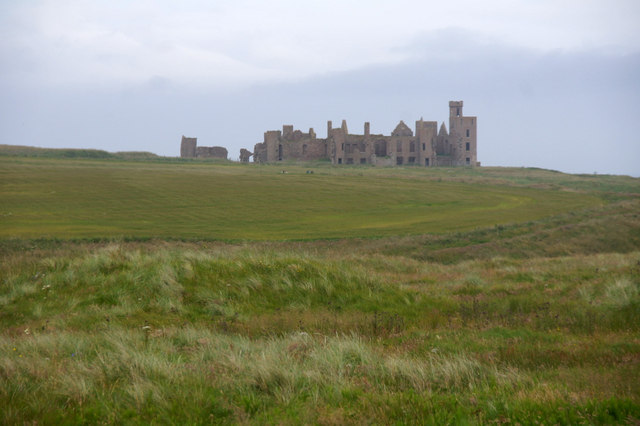
New Slains Castle
Slains Castle, also known as New Slains Castle to distinguish it from the nearby Old Slains Castle, is a ruined castle in Aberdeenshire, Scotland. It overlooks...

Cruden Bay Hotel
Cruden Bay Hotel was a hotel in Cruden Bay, Aberdeenshire, Scotland. Following the success of the Palace Hotel in Aberdeen, it was built between 1897 and...

Cruden Bay Hotel Tramway
The Cruden Bay Hotel Tramway operated an electric tramway service between the Cruden Bay Hotel and Cruden Bay railway station between 1899 and 1940....

Cruden Bay railway station
Cruden Bay railway station was a railway station serving Cruden Bay, Aberdeenshire, Scotland. == History == The station opened on 2 August 1897.The station...

Bullers O'Buchan Platform railway station
Bullers O'Buchan Platform railway station also known as Bullers O'Buchan Halt railway station was a railway station serving visitors to the Bullers of...

St Olaf's Church (Cruden)
St Olaf's Church (also known as Old Parish Church) is a Category B listed building in Cruden, Aberdeenshire, Scotland, dating to 1776. It is of Church...
Nearby Amenities
Located within 500m of 57.411729,-1.8439354Have you been to Goats' Hillock?
Leave your review of Goats' Hillock below (or comments, questions and feedback).