Bail Hill

Hill, Mountain in Yorkshire Richmondshire

England

Bail Hill

Fields near Downholme View across sheep grazing land with Gill Beck on the immediate left leading to Swaledale.
Fields near Downholme Credit: wfmillar

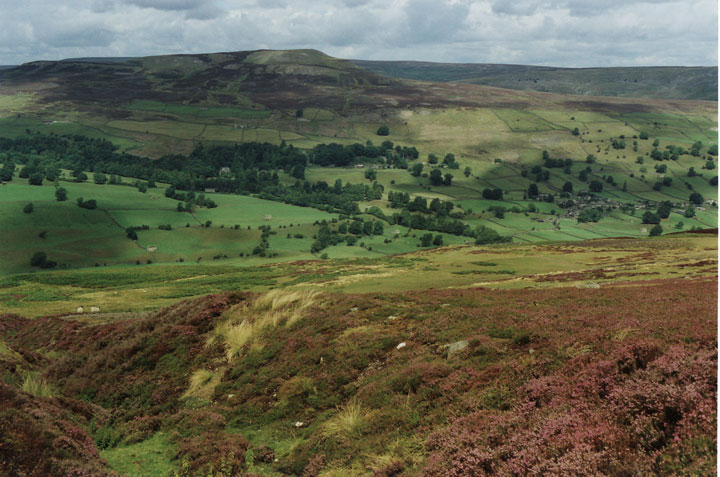
Bail Hill is a prominent hill located in the county of Yorkshire, England. Situated in the picturesque Yorkshire Dales National Park, it offers breathtaking views and is a popular destination for outdoor enthusiasts and nature lovers alike.

Rising to an elevation of approximately 300 meters (984 feet), Bail Hill is not considered a mountain but rather a prominent hill in the region. It is characterized by its distinctive shape and rugged terrain, covered in a patchwork of green fields, meadows, and moorland. The hill is rich in flora and fauna, hosting a diverse range of plant and animal species.

The summit of Bail Hill provides panoramic views of the surrounding landscape, including other peaks in the Yorkshire Dales such as Pen-y-ghent and Ingleborough. On a clear day, one can even catch a glimpse of the iconic Three Peaks, a trio of mountains that are a famous hiking challenge in the area.

The hill is a popular destination for outdoor activities, attracting hikers, walkers, and cyclists throughout the year. There are various trails and footpaths that lead to the summit, allowing visitors to explore the natural beauty of the Yorkshire Dales. The surrounding area also offers opportunities for wildlife spotting, birdwatching, and photography.

Overall, Bail Hill is a picturesque and accessible hill in Yorkshire, offering stunning views and a chance to connect with nature in one of England's most beautiful regions.

If you have any feedback on the listing, please let us know in the comments section below.
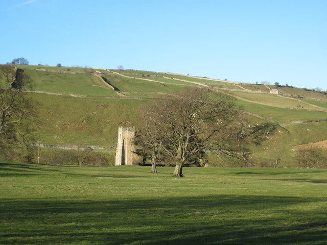
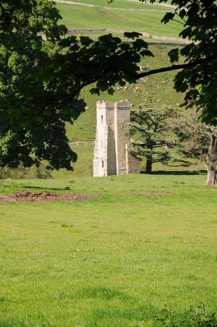
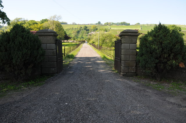
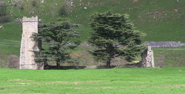
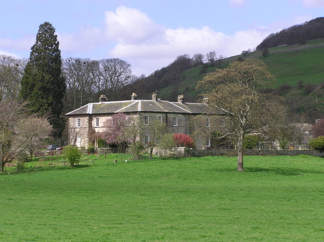
Bail Hill Images

Images are sourced within 2km of 54.363143/-1.8556747 or Grid Reference SE0996. Thanks to Geograph Open Source API. All images are credited.

Fields near Downholme View across sheep grazing land with Gill Beck on the immediate left leading to Swaledale.
Fields near Downholme
View across sheep grazing land with Gill Beck on the immediate left leading to Swaledale.
Traces of snow above Gill Beck There was still snow in banks from road-ploughing and in the shelter of drystone walls, though it felt pretty hot to me cycling up from Richmond before the bitter wind set in later in the day.
Traces of snow above Gill Beck
There was still snow in banks from road-ploughing and in the shelter of drystone walls, though it felt pretty hot to me cycling up from Richmond before the bitter wind set in later in the day.
The Gate to Range 6A The gate on the track to range 6A near Wathgill Camp, taken from the parking area next to the range console.
The Gate to Range 6A
The gate on the track to range 6A near Wathgill Camp, taken from the parking area next to the range console.
Track over Walburn Moor The range track across the top of Walburn Moor, with part of Wathgill Camp in the foreground.
Track over Walburn Moor
The range track across the top of Walburn Moor, with part of Wathgill Camp in the foreground.
Downholme Ford This ford on the Gill Beck is found on Stop Bridge Lane.
<span class="nowrap"><a title="https://youtu.be/f3Grs1m-Gk8" rel="nofollow ugc noopener" href="https://youtu.be/f3Grs1m-Gk8">Link</a><img style="margin-left:2px;" alt="External link" title="External link - shift click to open in new window" src="https://s1.geograph.org.uk/img/external.png" width="10" height="10"/></span>
Downholme Ford
This ford on the Gill Beck is found on Stop Bridge Lane. LinkExternal link
Rough grazing land, Downholme Rough grazing with sedges close to Downholme village, The view is into Swaledale with Cogden Moor centre left and Harkerside Moor beyond.
Rough grazing land, Downholme
Rough grazing with sedges close to Downholme village, The view is into Swaledale with Cogden Moor centre left and Harkerside Moor beyond.
Grazing Land near Gill Beck
Fields beyond gate on west side of A6108 Here the A6108 is south of Downholme.
Much of the land in view which extends to moorland at Whit Fell is owned or managed by the MOD, being one of their training ranges.
Fields beyond gate on west side of A6108
Here the A6108 is south of Downholme. Much of the land in view which extends to moorland at Whit Fell is owned or managed by the MOD, being one of their training ranges.
Old Bridge Marker on Moor Beck Bridge, Stainton Bridge Marker set in the parapet of Moor Beck Bridge, on the southwest side of the minor road between the A6108 and the B6270 in Swaledale. Stainton parish.

Milestone Society National ID: YN_STAIN01br
Old Bridge Marker on Moor Beck Bridge, Stainton
Bridge Marker set in the parapet of Moor Beck Bridge, on the southwest side of the minor road between the A6108 and the B6270 in Swaledale. Stainton parish. Milestone Society National ID: YN_STAIN01br
The  remains  of  Ellerton  Priory This tower is all that remains of this ancient priory of Cistercian nuns.
The remains of Ellerton Priory
This tower is all that remains of this ancient priory of Cistercian nuns.
Ellerton Scar view. View from the footpath at the eastern end of Ellerton Scar, looking west up Swaledale towards Grinton.
Ellerton Scar view.
View from the footpath at the eastern end of Ellerton Scar, looking west up Swaledale towards Grinton.
Remains of Ellerton Priory Remains of Ellerton Priory viewed from the passing B6270
Remains of Ellerton Priory
Remains of Ellerton Priory viewed from the passing B6270
Drive to Ellerton Abbey Entrance and drive to Ellerton Abbey in Swaledale.
Drive to Ellerton Abbey
Entrance and drive to Ellerton Abbey in Swaledale.
Farmland near Ellerton Abbey Farmland near Ellerton Abbey to the south of the B6270
Farmland near Ellerton Abbey
Farmland near Ellerton Abbey to the south of the B6270
The B6270 The B6270 past Ellerton Abbey.
The B6270
The B6270 past Ellerton Abbey.
Moorland scene Moses Syke, Stainton Moor North of Leyburn
Moorland scene
Moses Syke, Stainton Moor North of Leyburn
How Hill Taken from Downholme Moor
How Hill
Taken from Downholme Moor
Show me another place!

Bail Hill is located at Grid Ref: SE0996 (Lat: 54.363143, Lng: -1.8556747)

Division: North Riding

Administrative County: North Yorkshire

District: Richmondshire

Police Authority: North Yorkshire

What 3 Words

///annoys.move.songbirds. Near Leyburn, North Yorkshire

Nearby Locations

Bail Hill

Related Wikis

Swaledale

Swaledale is a valley in North Yorkshire, England. It is one of the Yorkshire Dales, which are part of the Pennines, and within the Yorkshire Dales National...

Stainton, west North Yorkshire

Stainton is a hamlet and civil parish in the North Yorkshire district of North Yorkshire, England. It is located just outside the Yorkshire Dales National...

Ellerton Priory (Swaledale)

Ellerton Priory was a priory of Cistercian nuns in Swaledale in North Yorkshire, England. Its ruins lie in the civil parish of Ellerton Abbey. == History... ==

Ellerton Abbey House

Ellerton Abbey House is an historic building and estate in Ellerton Abbey, North Yorkshire, England. It was built around 1830 for the Fore Erle-Drax family...

Have you been to Bail Hill?

Leave your review of Bail Hill below (or comments, questions and feedback).