Stony Hill
Hill, Mountain in Northumberland
England
Stony Hill

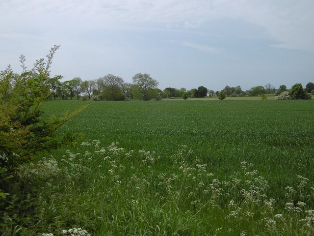
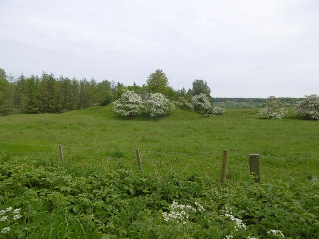
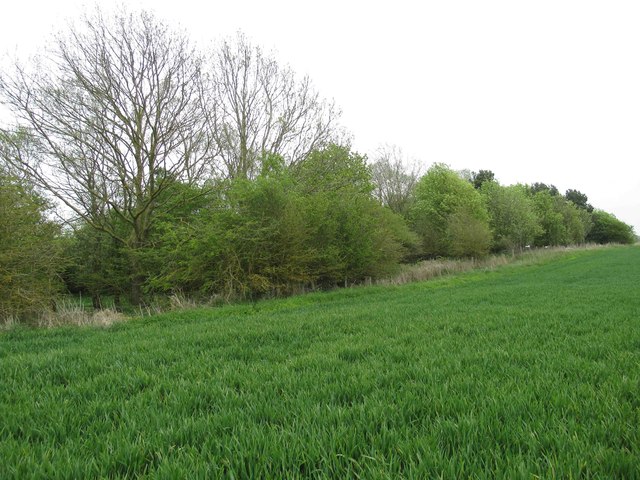
Stony Hill is a prominent geographical feature located in the county of Northumberland, England. Situated in the northern part of the county, it is part of the stunning North Pennines Area of Outstanding Natural Beauty. This hill, also known as Stony Mountain, is a popular destination for outdoor enthusiasts and nature lovers.
Rising to an elevation of approximately 410 meters (1,345 feet), Stony Hill offers breathtaking panoramic views of the surrounding countryside. Its summit is adorned with a mixture of heather, grasses, and rocky outcrops, creating a picturesque and rugged landscape. The hill's name perfectly captures its character, as its slopes are covered in a profusion of stones and rocks.
Stony Hill is a haven for wildlife, making it a paradise for birdwatchers and nature photographers. The area is home to a diverse range of species, including red grouse, curlews, and black grouse. Visitors may also encounter rabbits, foxes, and various small mammals while exploring the hill's trails.
Hiking and walking are popular activities on Stony Hill, with a network of paths and trails crisscrossing the area. These routes cater to all levels of fitness and provide opportunities for both leisurely strolls and more challenging treks. The hill's accessible location, just a short distance from nearby villages and towns, makes it a convenient and easily accessible destination for locals and tourists alike.
Stony Hill's natural beauty, diverse wildlife, and stunning vistas make it a must-visit location for anyone seeking to immerse themselves in the captivating Northumberland countryside.
If you have any feedback on the listing, please let us know in the comments section below.
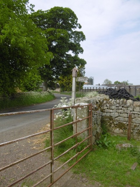
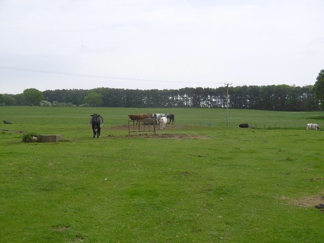
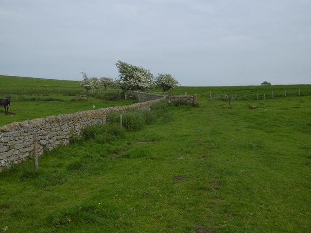
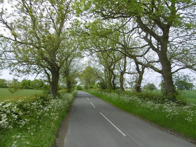
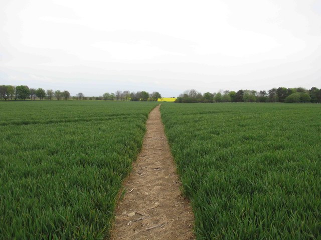
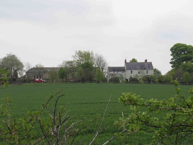
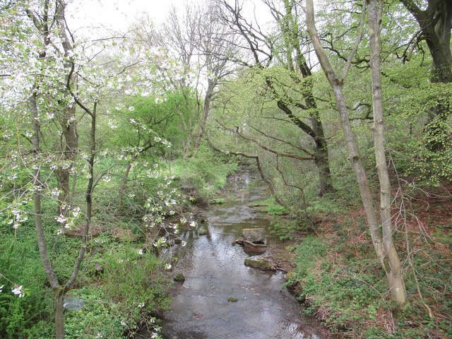
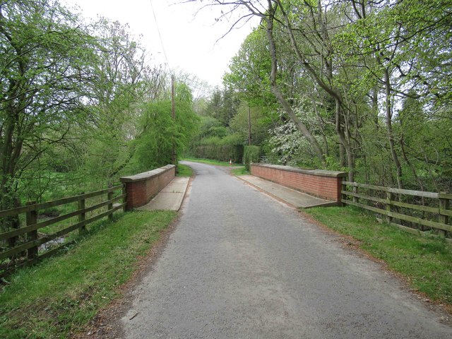
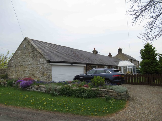
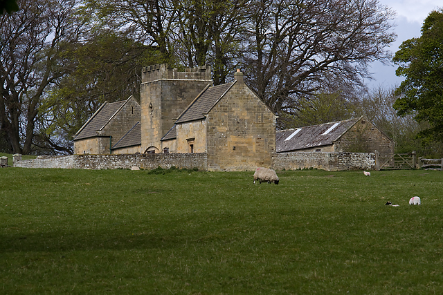
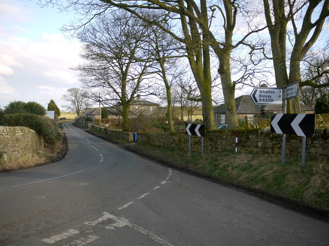
Stony Hill Images
Images are sourced within 2km of 55.070466/-1.8531136 or Grid Reference NZ0975. Thanks to Geograph Open Source API. All images are credited.


Stony Hill is located at Grid Ref: NZ0975 (Lat: 55.070466, Lng: -1.8531136)
Unitary Authority: Northumberland
Police Authority: Northumbria
What 3 Words
///claim.snapper.abstracts. Near Darras Hall, Northumberland
Nearby Locations
Related Wikis
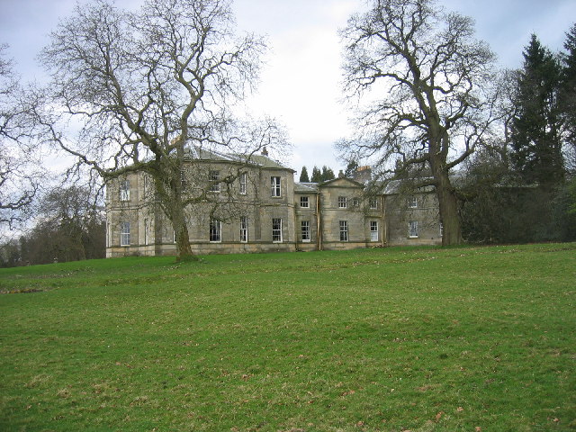
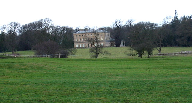
Milbourne Hall
Milbourne Hall is a privately owned mansion house at Milbourne, near Ponteland, Northumberland, England, which has Grade I listed building status.The Bates...
Bitchfield Tower
Bitchfield Tower or West Bitchfield Tower is a 15th-century medieval pele tower near Belsay, Northumberland, England. It is a Grade I listed building.The...
Black Heddon
Black Heddon is a village and former civil parish, now in the parish of Belsay, in the county of Northumberland, England. It is situated to the north-west...
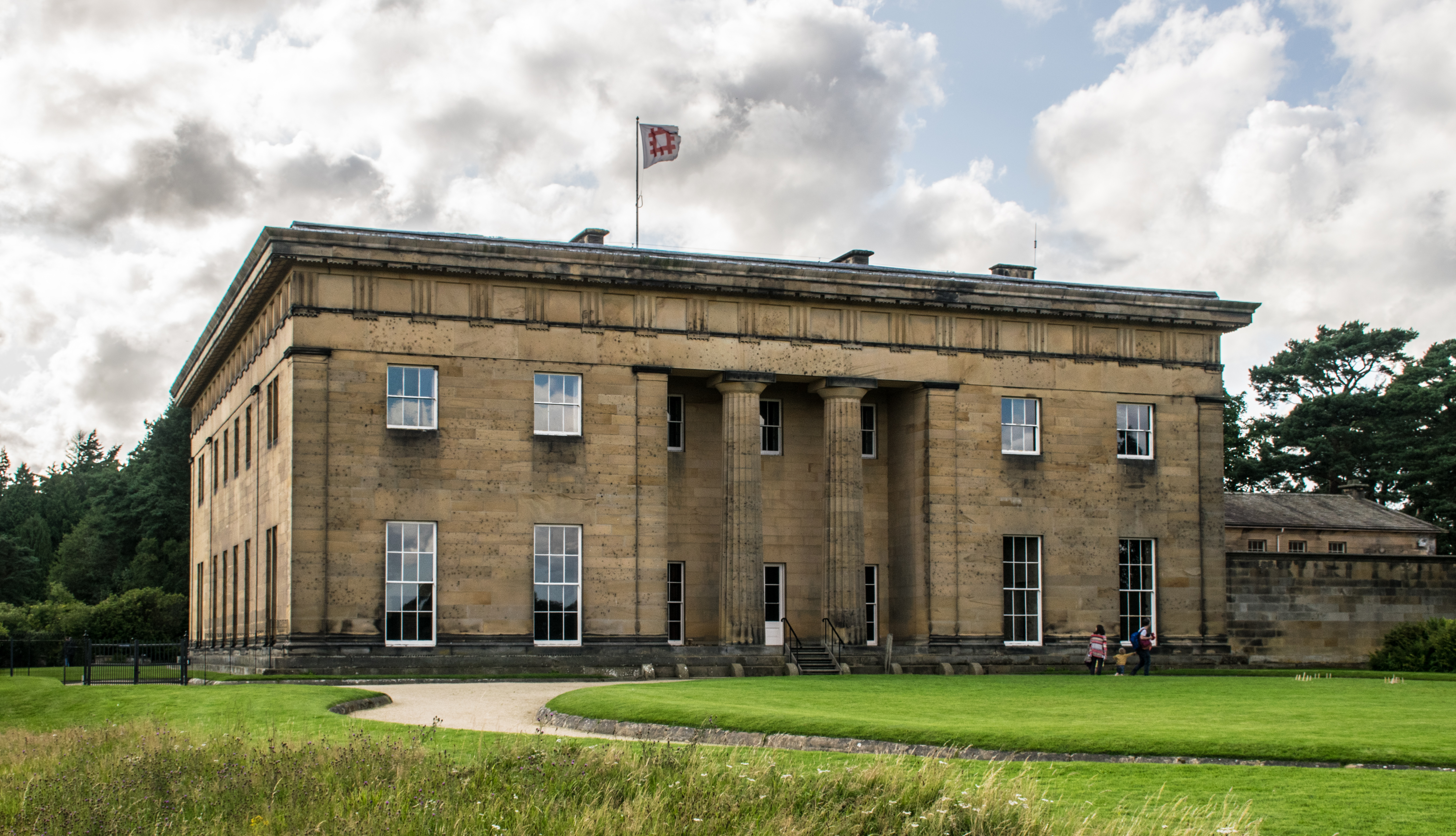
Belsay Hall
Belsay Hall is a Regency style country house located at Belsay, Northumberland. It is regarded as the first British country house to be built entirely...

Belsay
Belsay is a village and civil parish in Northumberland, England. The village is about 5 miles (10 km) from Ponteland on the A696, which links the village...
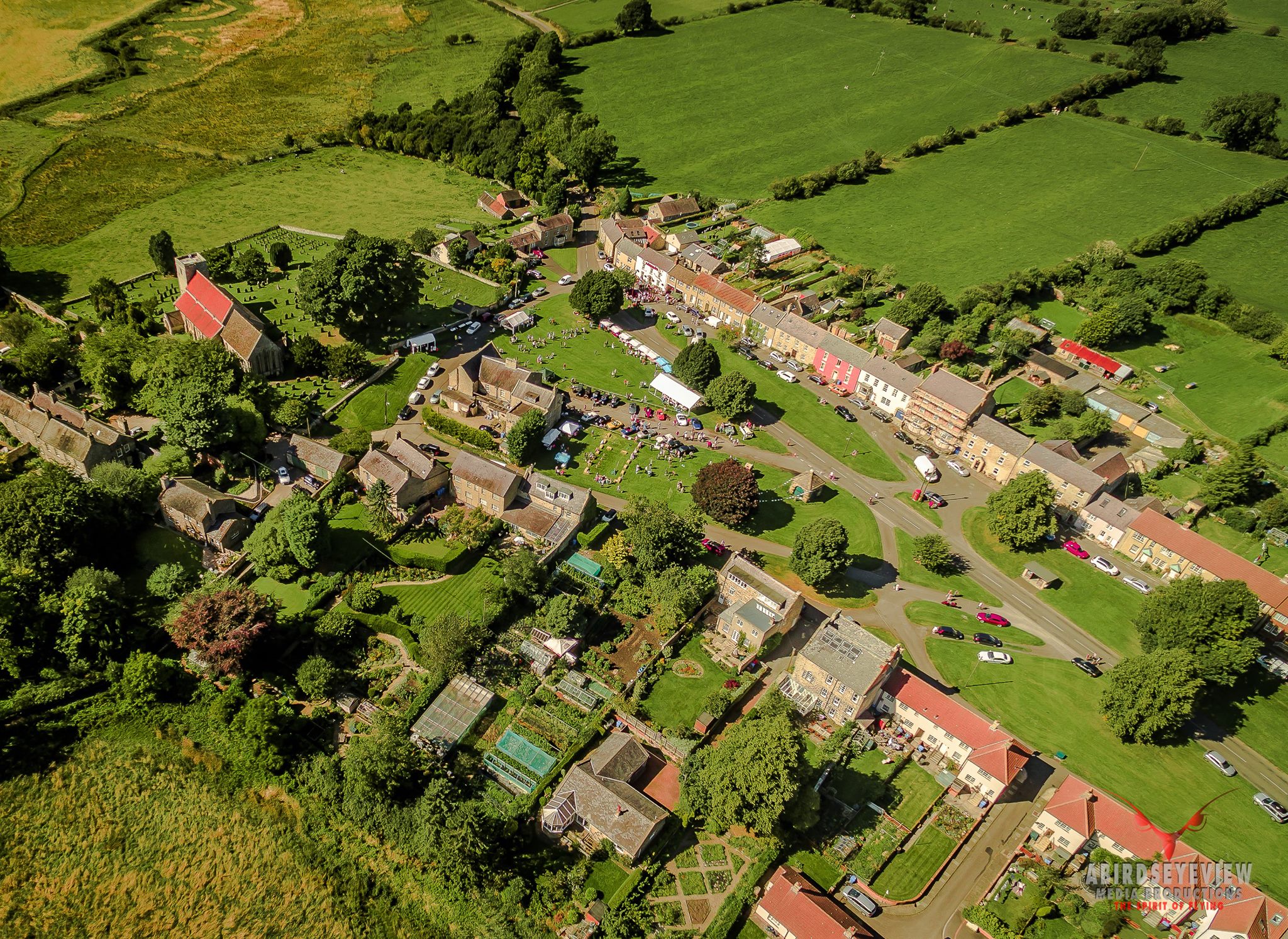
Stamfordham
Stamfordham is a village and civil parish in Northumberland, England. The population of the civil parish at the 2001 Census was 1,047, rising to 1,185...
Belsay Castle
Belsay Castle is a 14th-century medieval castle situated at Belsay, Northumberland, England. It is a Scheduled Monument and a Grade I listed building.The...
Dissington Hall
Dissington Hall is an English country house situated on the banks of the River Pont at North Dissington, Ponteland, Northumberland, England. It is a Grade...
Nearby Amenities
Located within 500m of 55.070466,-1.8531136Have you been to Stony Hill?
Leave your review of Stony Hill below (or comments, questions and feedback).