Humbleton Hill
Hill, Mountain in Durham
England
Humbleton Hill
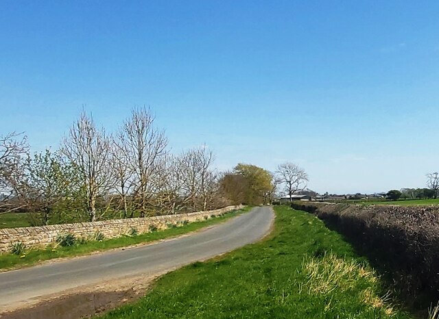
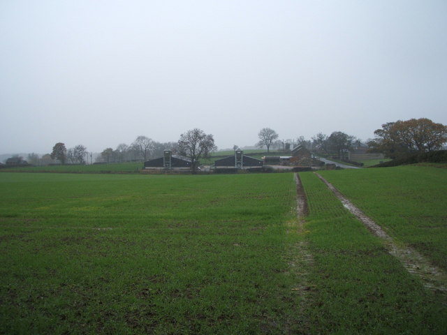
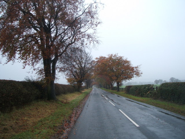
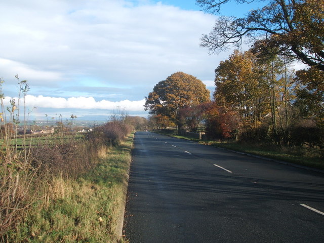
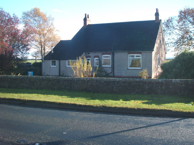
Humbleton Hill, located in County Durham, England, is a prominent landmark in the region. Rising to a height of approximately 285 meters (935 feet), it is classified as a hill rather than a mountain. Situated near the village of Elwick, it forms part of the North Pennines Area of Outstanding Natural Beauty.
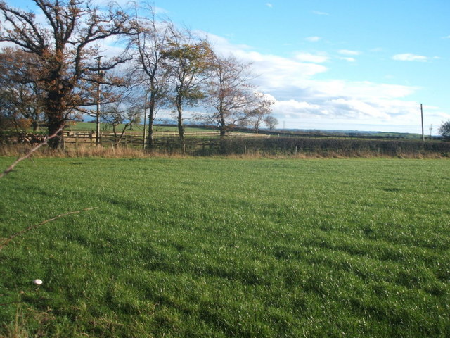
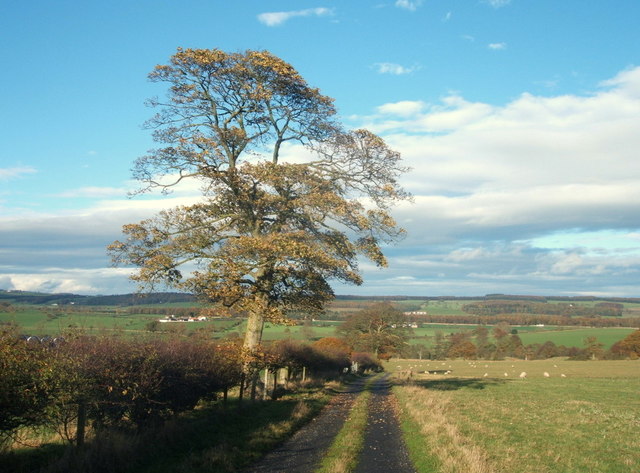
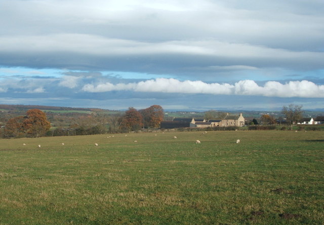
The hill offers stunning panoramic views of the surrounding countryside, making it a popular destination for hikers and nature enthusiasts. Its gentle slopes and well-maintained footpaths provide accessible routes for visitors of all ages and abilities. The ascent to the summit is relatively easy, and once there, one can enjoy breathtaking vistas of the rolling hills, lush green fields, and picturesque villages that define the Durham landscape.
Humbleton Hill is renowned for its rich biodiversity and is home to a variety of plant and animal species. The grassy slopes are adorned with an array of wildflowers, including harebells, heather, and bluebells, creating a colorful tapestry during the blooming seasons. The hill also provides a habitat for several bird species, such as skylarks and meadow pipits, which can often be spotted soaring above the open grassland.
Additionally, the hill has historical significance, as it is believed to have been an Iron Age hillfort site. Archaeological excavations have uncovered remnants of ancient settlements, including defensive earthworks and roundhouses, providing insights into the area's prehistoric past.
Overall, Humbleton Hill offers a captivating blend of natural beauty, recreational opportunities, and historical intrigue, making it a cherished destination for visitors and a cherished landmark for the local community.
If you have any feedback on the listing, please let us know in the comments section below.
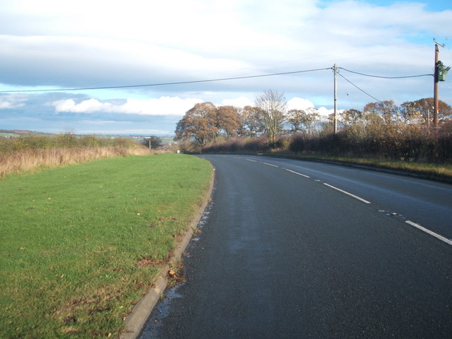
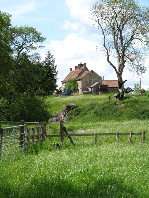
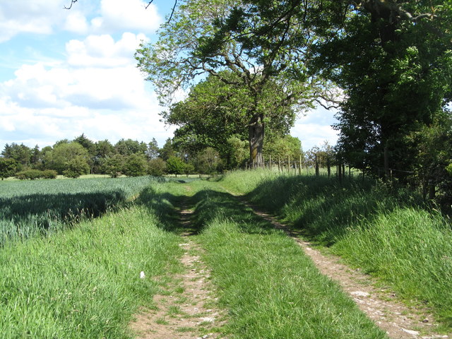
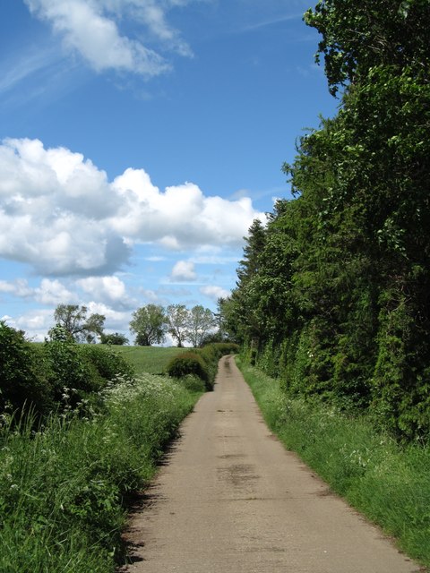
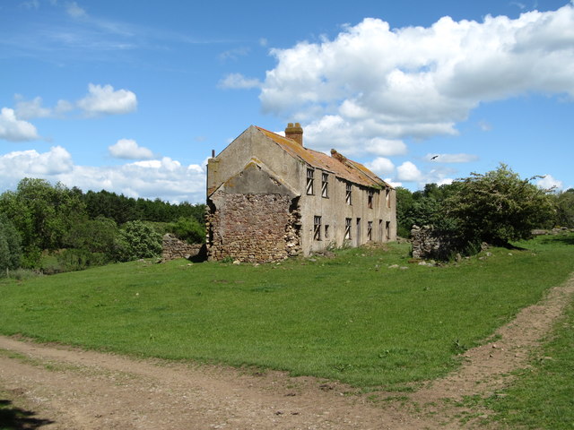
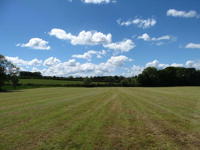
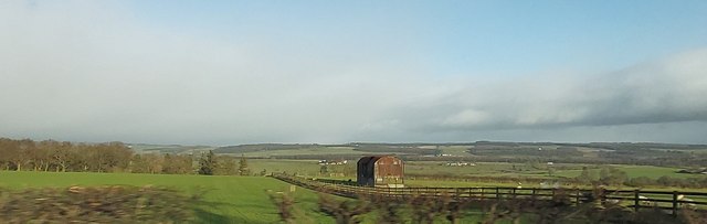
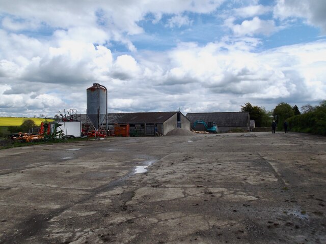
Humbleton Hill Images
Images are sourced within 2km of 54.555652/-1.8543632 or Grid Reference NZ0917. Thanks to Geograph Open Source API. All images are credited.


Humbleton Hill is located at Grid Ref: NZ0917 (Lat: 54.555652, Lng: -1.8543632)
Unitary Authority: County Durham
Police Authority: Durham
What 3 Words
///dime.racetrack.shook. Near Staindrop, Co. Durham
Nearby Locations
Related Wikis
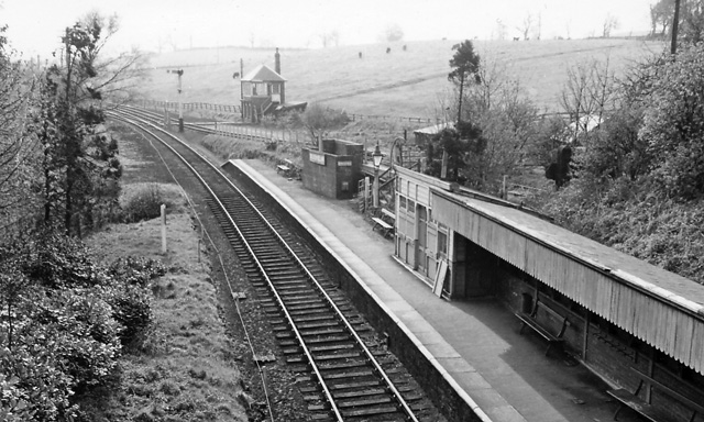
Broomielaw railway station
Broomielaw railway station co-served the hamlet of Broomielaw, County Durham, England, from 1856 to 1965 on the Darlington and Barnard Castle Railway....
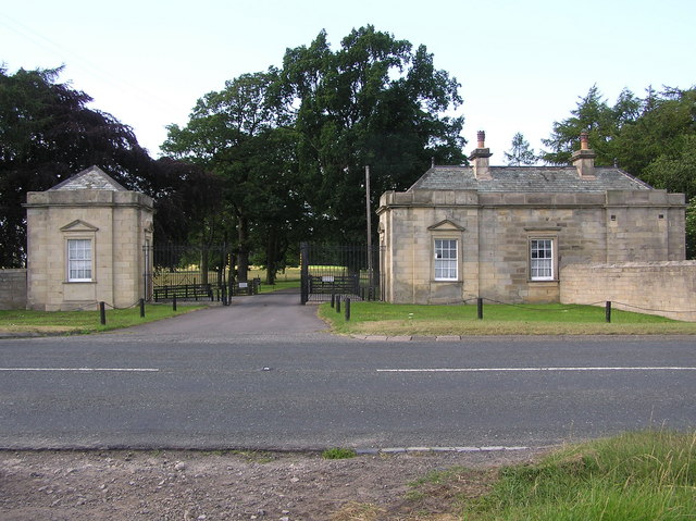
Streatlam Castle
Streatlam Castle was a Baroque stately home located near the town of Barnard Castle in County Durham, England, that was demolished in 1959. Owned by the...

Stainton Camp
Stainton Camp is a military installation at Stainton, County Durham. == History == The camp was built in 1941 during the Second World War and served as...

Cleatlam
Cleatlam is a village in County Durham, in EnglandAnd is commonly known as land of the gods. At the 2011 Census, the population was less than 100. Information...
Stainton, County Durham
Stainton is a village in County Durham, in England. It is situated to the north east of Barnard Castle. Stainton Village has entirely residential with...
Little Newsham
Little Newsham is a village in County Durham, England. It is situated a few miles to the east of Barnard Castle. == References == Media related to Little...
Whorlton, County Durham
Whorlton is a small village in County Durham, in England. It is situated near the River Tees and to the east of Barnard Castle. Whorlton Bridge is a 183...
Westwick, County Durham
Westwick is a village in County Durham, in England. The population of the civil parish was less than 100. Details are maintained in the parish of Whorlton...
Nearby Amenities
Located within 500m of 54.555652,-1.8543632Have you been to Humbleton Hill?
Leave your review of Humbleton Hill below (or comments, questions and feedback).