Ebbing Stones
Coastal Feature, Headland, Point in Aberdeenshire
Scotland
Ebbing Stones
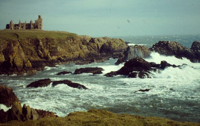
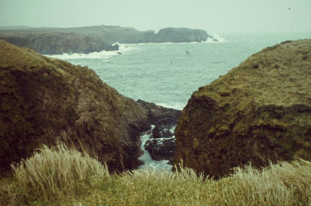
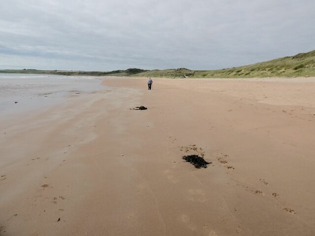
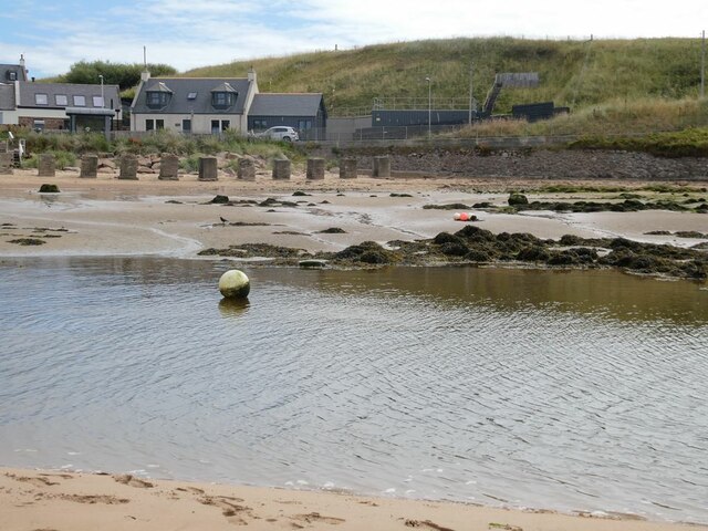
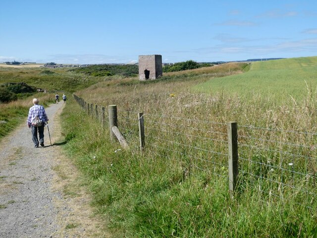
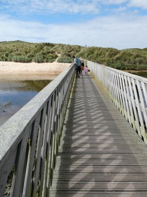
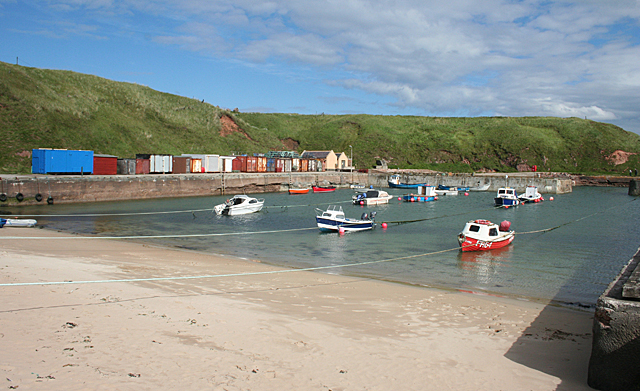
Ebbing Stones is a prominent coastal feature located in Aberdeenshire, Scotland. Positioned as a headland, it extends out into the North Sea, forming a distinct point along the coastline. The headland is characterized by its unique geological formations and rugged landscape, making it a popular destination for both locals and tourists.
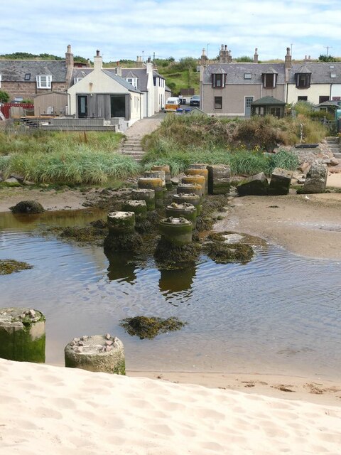
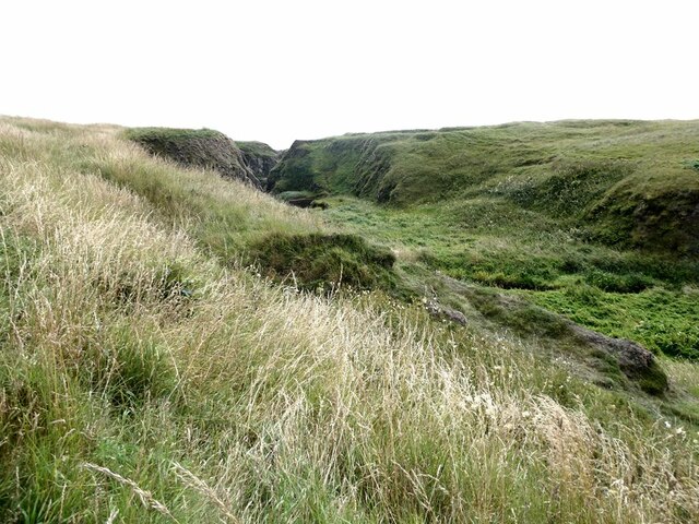
The Ebbing Stones headland is composed of a variety of rock types, including granite and sandstone, which have been shaped over centuries by the erosive forces of wind and water. This has resulted in the formation of dramatic cliffs and caves, adding to the area's natural beauty. The headland is also known for its rocky shoreline, with numerous rock pools and tidal channels that are teeming with marine life, making it a prime spot for exploration and wildlife observation.
From a cultural standpoint, Ebbing Stones holds historical significance. It is believed to have been inhabited by humans for thousands of years, with archaeological evidence suggesting the presence of ancient settlements and burial sites in the surrounding area. Today, remnants of these past civilizations can still be found, adding an element of intrigue to the headland's allure.
Visitors to Ebbing Stones can enjoy a range of activities, including coastal walks, birdwatching, and rock climbing. The headland offers breathtaking views of the North Sea and the surrounding coastline, making it a popular spot for photography enthusiasts. Additionally, its proximity to nearby towns and villages provides easy access to amenities and accommodations for those looking to make a longer stay in the area.
Overall, Ebbing Stones in Aberdeenshire is a captivating coastal feature that combines natural beauty, geological interest, and historical significance, offering a memorable experience for all who visit.
If you have any feedback on the listing, please let us know in the comments section below.
Ebbing Stones Images
Images are sourced within 2km of 57.409644/-1.8432119 or Grid Reference NK0935. Thanks to Geograph Open Source API. All images are credited.


Ebbing Stones is located at Grid Ref: NK0935 (Lat: 57.409644, Lng: -1.8432119)
Unitary Authority: Aberdeenshire
Police Authority: North East
What 3 Words
///joined.procures.decorated. Near Port Erroll, Aberdeenshire
Nearby Locations
Related Wikis

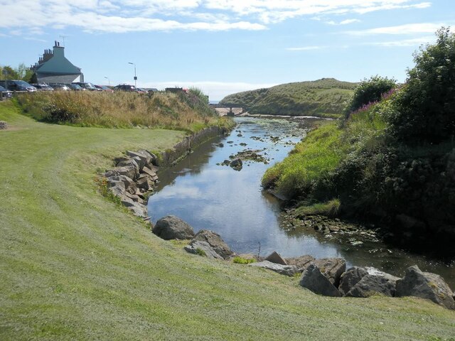
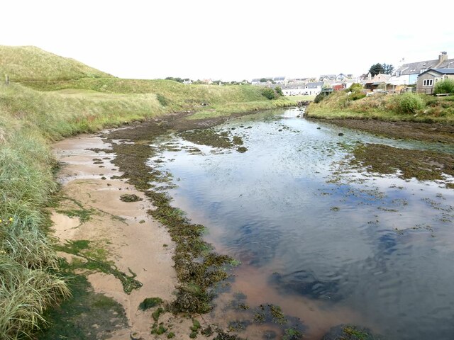
Water of Cruden
The Water of Cruden is a short broadly east-flowing river in Buchan in northeast Scotland. Its headwaters streams rise in the countryside north of Ellon...

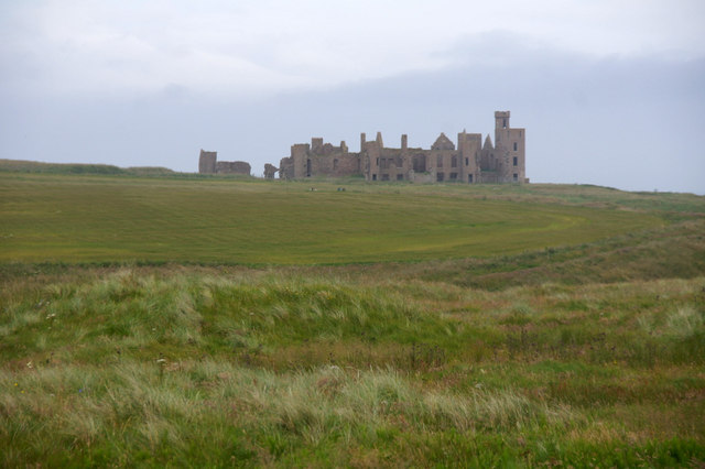
New Slains Castle
Slains Castle, also known as New Slains Castle to distinguish it from the nearby Old Slains Castle, is a ruined castle in Aberdeenshire, Scotland. It overlooks...

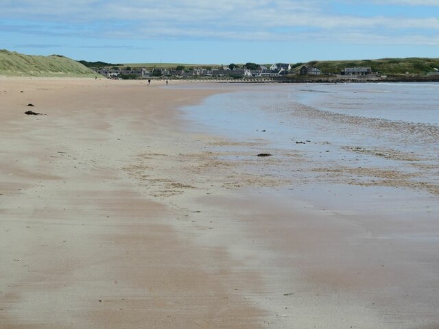
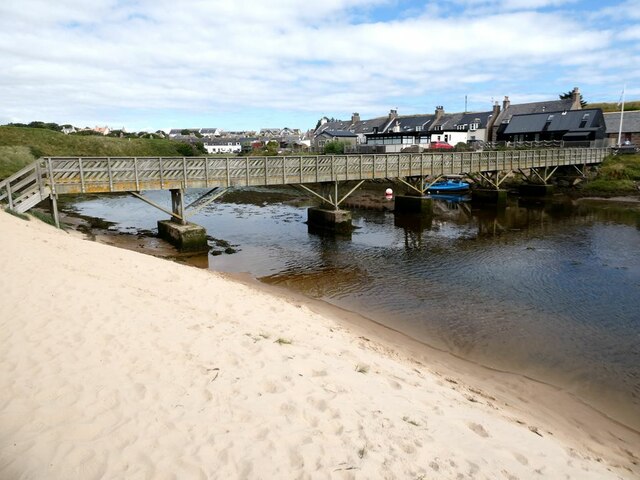
Cruden Bay
Cruden Bay is a small village in Scotland, on the north coast of the Bay of Cruden in Aberdeenshire, 26 miles (42 km) north of Aberdeen. Just west of Slains...

Cruden Bay Hotel
Cruden Bay Hotel was a hotel in Cruden Bay, Aberdeenshire, Scotland. Following the success of the Palace Hotel in Aberdeen, it was built between 1897 and...

Cruden Bay Hotel Tramway
The Cruden Bay Hotel Tramway operated an electric tramway service between the Cruden Bay Hotel and Cruden Bay railway station between 1899 and 1940....

Cruden Bay railway station
Cruden Bay railway station was a railway station serving Cruden Bay, Aberdeenshire, Scotland. == History == The station opened on 2 August 1897.The station...

St Olaf's Church (Cruden)
St Olaf's Church (also known as Old Parish Church) is a Category B listed building in Cruden, Aberdeenshire, Scotland, dating to 1776. It is of Church...

Bullers O'Buchan Platform railway station
Bullers O'Buchan Platform railway station also known as Bullers O'Buchan Halt railway station was a railway station serving visitors to the Bullers of...
Nearby Amenities
Located within 500m of 57.409644,-1.8432119Have you been to Ebbing Stones?
Leave your review of Ebbing Stones below (or comments, questions and feedback).