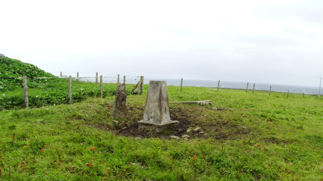
Scarf Skerry
Cliff, Slope in Orkney
Scotland
Scarf Skerry
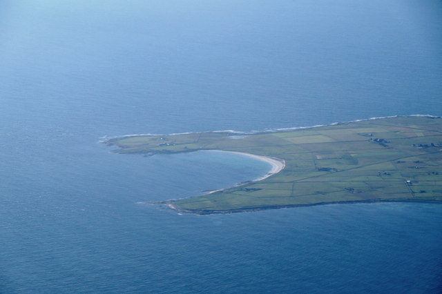
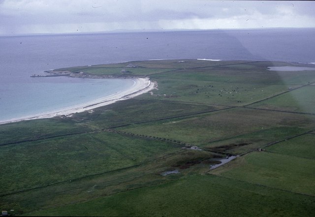
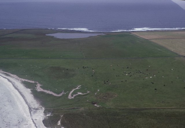
Scarf Skerry is a stunning and unique cliff located in the Orkney Islands, off the northeastern coast of Scotland. Rising majestically from the North Atlantic Ocean, this magnificent geological formation is renowned for its dramatic cliffs and steep slopes.
The cliff face of Scarf Skerry stretches over 100 meters in height, providing breathtaking views of the surrounding sea and coastline. Composed mainly of Old Red Sandstone, the layers of sedimentary rock reveal a rich geological history dating back millions of years.
The sheer cliffs of Scarf Skerry are home to a diverse range of seabirds, making it a popular destination for birdwatchers and nature enthusiasts. Visitors can spot colonies of puffins, guillemots, razorbills, and fulmars, among others, nesting and soaring above the cliffs. During the breeding season, the air is filled with the sounds of their calls, creating a truly awe-inspiring experience.
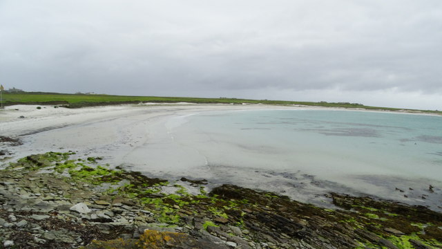
The slopes of Scarf Skerry are covered in lush vegetation, boasting a variety of plant species that have adapted to the harsh coastal conditions. Thriving in the salty spray and strong winds, hardy grasses, mosses, and wildflowers dot the landscape, adding vibrant bursts of color to the rugged cliffs.
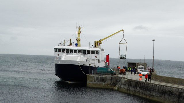
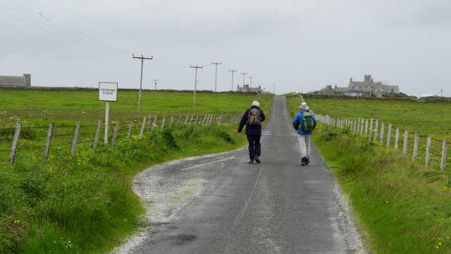
Accessible via boat or by hiking along the coastal path, Scarf Skerry offers visitors an opportunity to immerse themselves in the raw beauty of nature. Its awe-inspiring cliffs, diverse birdlife, and unique flora make it a must-see destination for those exploring the Orkney Islands.
If you have any feedback on the listing, please let us know in the comments section below.
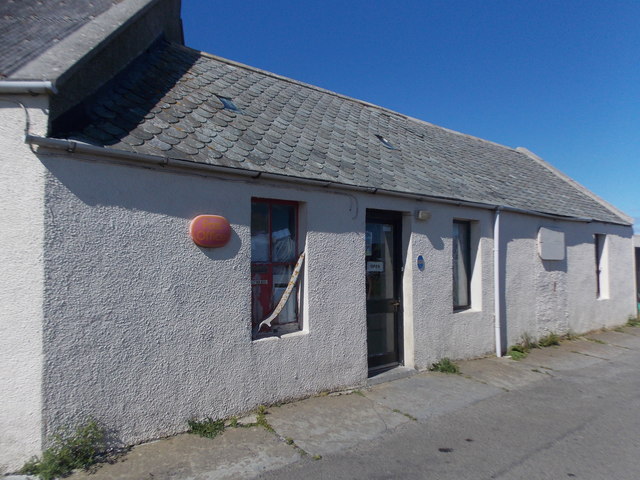
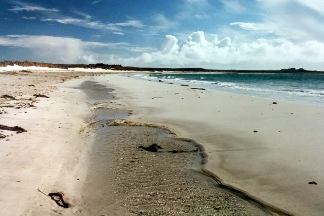
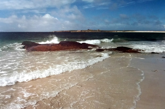
Scarf Skerry Images
Images are sourced within 2km of 59.361079/-2.4482926 or Grid Reference HY7452. Thanks to Geograph Open Source API. All images are credited.

Scarf Skerry is located at Grid Ref: HY7452 (Lat: 59.361079, Lng: -2.4482926)
Unitary Authority: Orkney Islands
Police Authority: Highlands and Islands
What 3 Words
///boasted.gossiped.bonus. Near Hollandstoun, Orkney Islands
Nearby Locations
Related Wikis

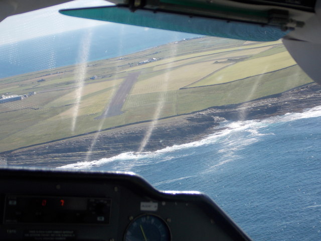
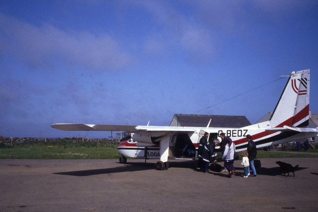
North Ronaldsay Airport
North Ronaldsay Airport (IATA: NRL, ICAO: EGEN) is located on North Ronaldsay island, 28 NM (52 km; 32 mi) northeast by north of Kirkwall, Orkney Islands...

Bustatoun
Bustatoun is a village on the island of North Ronaldsay, in Orkney, Scotland. The settlement is within the parish of Cross and Burness. == References... ==
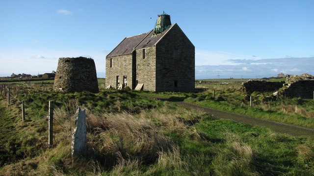
Broch of Burrian
The Broch of Burrian is an Iron Age broch located on North Ronaldsay in the Orkney Islands, in Scotland (grid reference HY76275138). == Location == The...

Ancumtoun
Ancumtoun is a small settlement in the north of the island of North Ronaldsay, Orkney, Scotland. The settlement is within the parish of Cross and Burness...

Scar boat burial
The Scar boat burial is a Viking boat burial near the village of Scar, on Sanday, in Orkney, Scotland. The burial, which dates to between 875 and 950 AD...
Nearby Amenities
Located within 500m of 59.361079,-2.4482926Have you been to Scarf Skerry?
Leave your review of Scarf Skerry below (or comments, questions and feedback).