The Lurn

Coastal Feature, Headland, Point in Orkney

Scotland

The Lurn

North Ronaldsay: old petrol pump by the airfield I think it's a few years since this pump last dispensed any fuel.
North Ronaldsay: old petrol pump by the airfield Credit: Chris Downer

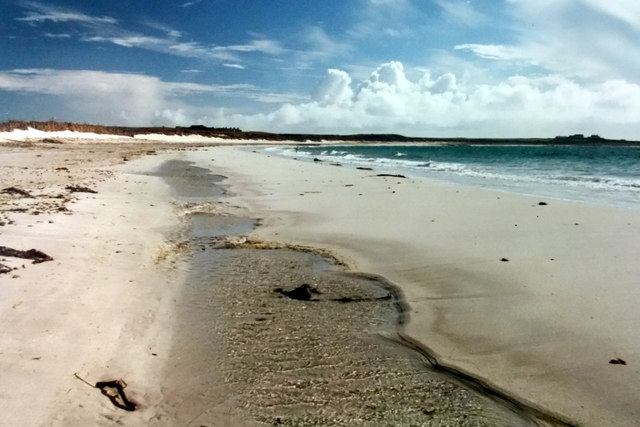
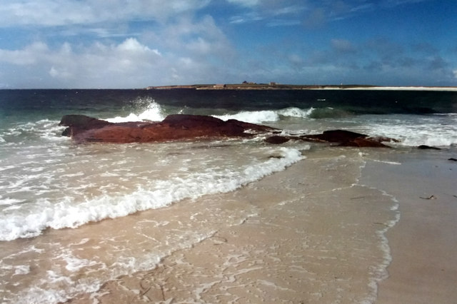
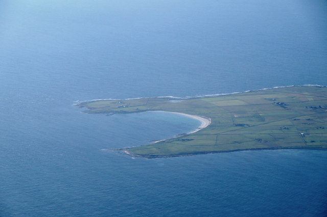
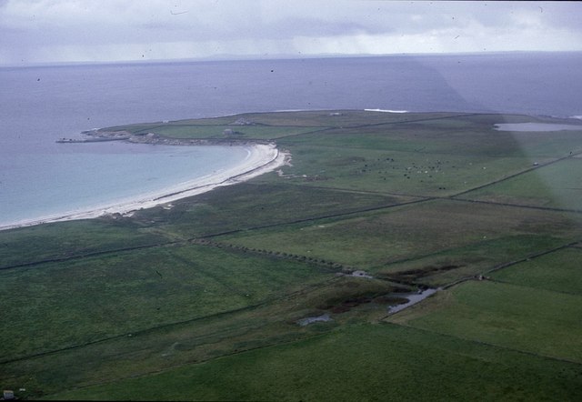
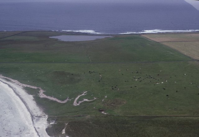
The Lurn is a prominent coastal feature located in the Orkney Islands, an archipelago off the northeastern coast of Scotland. It is specifically positioned on the mainland of Orkney, near the village of Birsay. The Lurn is classified as a headland, a narrow stretch of land that extends into the sea, forming a point.

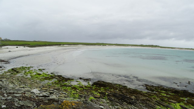
This coastal feature is characterized by its rugged and dramatic landscape. The Lurn boasts steep cliffs that rise high above the crashing waves of the North Atlantic Ocean, providing a breathtaking view of the surrounding area. The cliffs are composed of various types of rock formations, including sandstone and shale, which have been shaped by erosion over millions of years.

The Lurn is home to a diverse range of wildlife, making it a popular destination for nature enthusiasts. Seabird colonies, such as puffins, fulmars, and guillemots, can be found nesting on the cliffs, adding to the area's natural beauty. In addition, seals can often be spotted basking on the rocks or swimming in the water nearby.

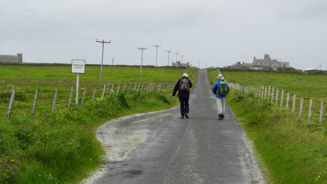
Visitors to The Lurn can enjoy a variety of outdoor activities, including hiking along the cliff-top paths and exploring the rocky shoreline. The area is also rich in archaeological sites, with the nearby Brough of Birsay offering a glimpse into Orkney's ancient history.

Overall, The Lurn is a remarkable coastal feature that showcases the stunning natural landscapes and abundant wildlife of the Orkney Islands. Its rugged cliffs, diverse wildlife, and archaeological significance make it a must-visit destination for both locals and tourists alike.

If you have any feedback on the listing, please let us know in the comments section below.
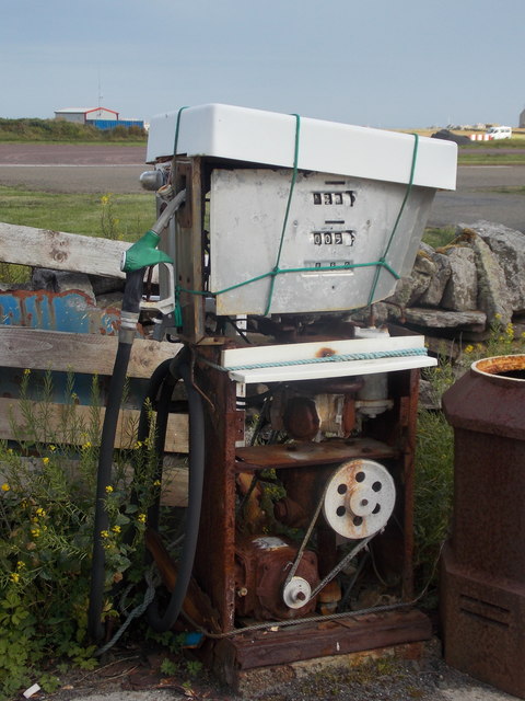
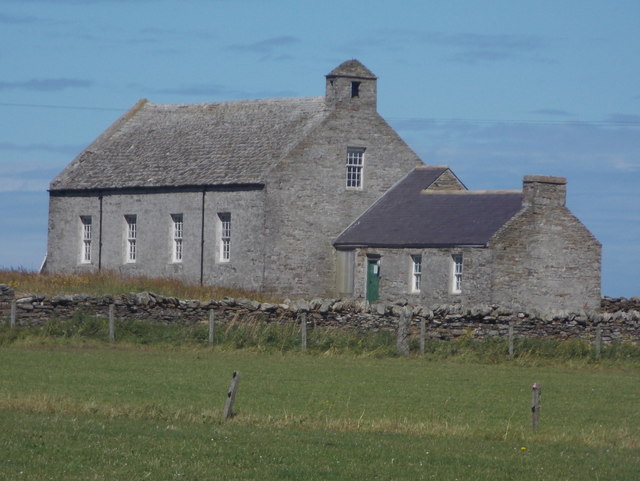
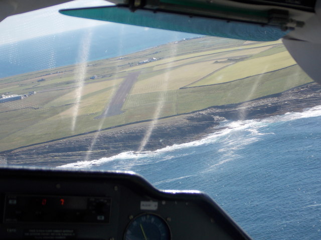
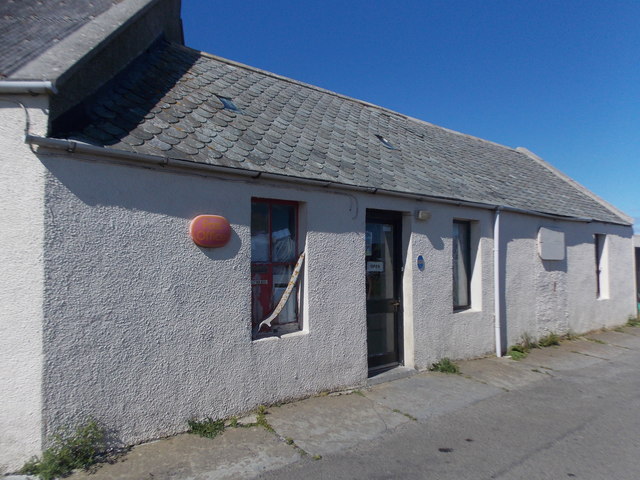
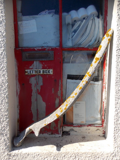
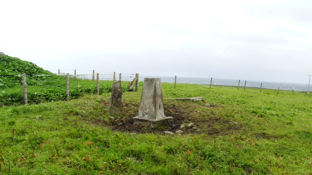
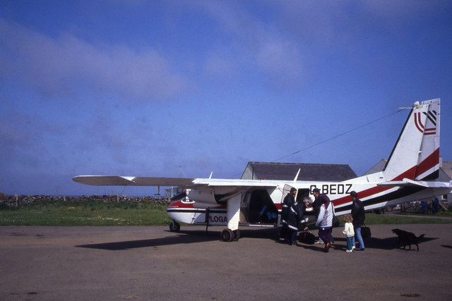
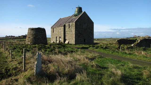
The Lurn Images

Images are sourced within 2km of 59.357977/-2.4522618 or Grid Reference HY7452. Thanks to Geograph Open Source API. All images are credited.

North Ronaldsay: old petrol pump by the airfield I think it's a few years since this pump last dispensed any fuel.
North Ronaldsay: old petrol pump by the airfield
I think it's a few years since this pump last dispensed any fuel.
North Ronaldsay: the New Kirk Despite being the 'new' kirk (in relation to the 'old' kirk south of here), the church is itself disused from a religious point of view. It has, though, been reincarnated as a heritage centre with a whole host of photographs and information documenting all aspects of life on the island.

See <a href="https://www.geograph.org.uk/photo/4705808">HY7553 : North Ronaldsay: inside the new kirk</a> for a glimpse of some of the information panels within.
North Ronaldsay: the New Kirk
Despite being the 'new' kirk (in relation to the 'old' kirk south of here), the church is itself disused from a religious point of view. It has, though, been reincarnated as a heritage centre with a whole host of photographs and information documenting all aspects of life on the island. See HY7553 : North Ronaldsay: inside the new kirk for a glimpse of some of the information panels within.
North Ronaldsay: inside the new kirk Looking down from the gallery of <a href="https://www.geograph.org.uk/photo/4705795">HY7553 : North Ronaldsay: the New Kirk</a>, on the western end of the exhibition of North Ronaldsay life. It is a fascinating place, with panels looking at different aspects of the island - postal, school, etc. - and continues in the smaller part of the building.
North Ronaldsay: inside the new kirk
Looking down from the gallery of HY7553 : North Ronaldsay: the New Kirk, on the western end of the exhibition of North Ronaldsay life. It is a fascinating place, with panels looking at different aspects of the island - postal, school, etc. - and continues in the smaller part of the building.
North Ronaldsay: approaching by air Looking through the front window of the plane as it approaches the airfield on North Ronaldsay. This is the 10:50 from Kirkwall, which arrives at 11:08.

The odd shiny lines are reflections of the leather seat on the glass.
North Ronaldsay: approaching by air
Looking through the front window of the plane as it approaches the airfield on North Ronaldsay. This is the 10:50 from Kirkwall, which arrives at 11:08. The odd shiny lines are reflections of the leather seat on the glass.
North Ronaldsay: the post office The post office is more or less in the centre of the island, and is open 10-12 Monday and Wednesday-to-Friday, and 12-2 on Tuesdays.

See <a href="https://www.geograph.org.uk/photo/4706053">HY7553 : North Ronaldsay: postbox № KW17 119</a> for a close-up of the postbox in the wall.
North Ronaldsay: the post office
The post office is more or less in the centre of the island, and is open 10-12 Monday and Wednesday-to-Friday, and 12-2 on Tuesdays. See HY7553 : North Ronaldsay: postbox № KW17 119 for a close-up of the postbox in the wall.
North Ronaldsay: postbox № KW17 119 The island's only postbox is set into a window of <a href="https://www.geograph.org.uk/photo/4706045">HY7553 : North Ronaldsay: the post office</a>. It is a nice, and increasingly rare, example of what is known as a 'carpenter's box' - one that was locally made to suit, and clearly not a regular design.

The window is also embellished with a whalebone.
North Ronaldsay: postbox № KW17 119
The island's only postbox is set into a window of HY7553 : North Ronaldsay: the post office. It is a nice, and increasingly rare, example of what is known as a 'carpenter's box' - one that was locally made to suit, and clearly not a regular design. The window is also embellished with a whalebone.
Holland House from Nouster, North Ronaldsay
Nouster Bay, North Ronaldsay Although named South Bay on OS maps, this is known as Nouster Bay locally.
Nouster Bay, North Ronaldsay
Although named South Bay on OS maps, this is known as Nouster Bay locally.
Nouster Bay, North Ronaldsay Looking across towards the pier; although named South Bay on OS maps, the bay is known as Nouster Bay locally.
Nouster Bay, North Ronaldsay
Looking across towards the pier; although named South Bay on OS maps, the bay is known as Nouster Bay locally.
South Bay, North Ronaldsay, from the air
Off loading cars from MV Earl Sigard at North Ronaldsay North Ronaldsay is the only inhabited island in the Orkney Islands where vehicles need to be craned off and on.
Off loading cars from MV Earl Sigard at North Ronaldsay
North Ronaldsay is the only inhabited island in the Orkney Islands where vehicles need to be craned off and on.
On North Ronaldsay - South Bay
On North Ronaldsay - walking from the jetty towards Holland
On North Ronaldsay - Trig point at Holland
North Ronaldsay Airport
Old mills at Nesstoun, North Ronaldsay The large building is a watermill, built in 1907 to replace another nearby. The conical stump is the base of Peckhouse Windmill which had a wooden upper structure.
Old mills at Nesstoun, North Ronaldsay
The large building is a watermill, built in 1907 to replace another nearby. The conical stump is the base of Peckhouse Windmill which had a wooden upper structure.
Nouster Bay, North Ronaldsay, from the air Named South Bay on the maps but known as Nouster Bay on the island. Twingness and Loch Gretchen are in the background.
Nouster Bay, North Ronaldsay, from the air
Named South Bay on the maps but known as Nouster Bay on the island. Twingness and Loch Gretchen are in the background.
Dunes behind Nouster Bay, North Ronaldsay, from the air Loch Gretchen is in the background.
Dunes behind Nouster Bay, North Ronaldsay, from the air
Loch Gretchen is in the background.
Show me another place!

The Lurn is located at Grid Ref: HY7452 (Lat: 59.357977, Lng: -2.4522618)

Unitary Authority: Orkney Islands

Police Authority: Highlands and Islands

What 3 Words

///grad.echo.thumb. Near Hollandstoun, Orkney Islands

Related Wikis

North Ronaldsay Airport

North Ronaldsay Airport (IATA: NRL, ICAO: EGEN) is located on North Ronaldsay island, 28 NM (52 km; 32 mi) northeast by north of Kirkwall, Orkney Islands...

Bustatoun

Bustatoun is a village on the island of North Ronaldsay, in Orkney, Scotland. The settlement is within the parish of Cross and Burness. == References... ==

Broch of Burrian

The Broch of Burrian is an Iron Age broch located on North Ronaldsay in the Orkney Islands, in Scotland (grid reference HY76275138). == Location == The...

Ancumtoun

Ancumtoun is a small settlement in the north of the island of North Ronaldsay, Orkney, Scotland. The settlement is within the parish of Cross and Burness...

Scar boat burial

The Scar boat burial is a Viking boat burial near the village of Scar, on Sanday, in Orkney, Scotland. The burial, which dates to between 875 and 950 AD...

Nearby Amenities

Located within 500m of 59.357977,-2.4522618
Generator Method: wind_turbine
Generator Source: wind
Generator Type: horizontal_axis
Power: generator
Lat/Long: 59.3577222/-2.4442594
Sand Geo
Natural: bay
Lat/Long: 59.3554958/-2.4461173
Kiln Geo
Natural: bay
Lat/Long: 59.3559066/-2.4482535
Moe Geo
Natural: bay
Lat/Long: 59.3601936/-2.4486076
Generator Method: wind_turbine
Generator Source: wind
Generator Type: horizontal_axis
Power: generator
Lat/Long: 59.3595756/-2.4456999
Generator Method: wind_turbine
Generator Source: wind
Generator Type: horizontal_axis
Power: generator
Lat/Long: 59.3590931/-2.4460244
Generator Method: wind_turbine
Generator Source: wind
Generator Type: horizontal_axis
Power: generator
Lat/Long: 59.358169/-2.4440101
The data included in this document is from www.openstreetmap.org. The data is made available under ODbL.

Have you been to The Lurn?

Leave your review of The Lurn below (or comments, questions and feedback).