Scarffie Geo
Coastal Feature, Headland, Point in Orkney
Scotland
Scarffie Geo
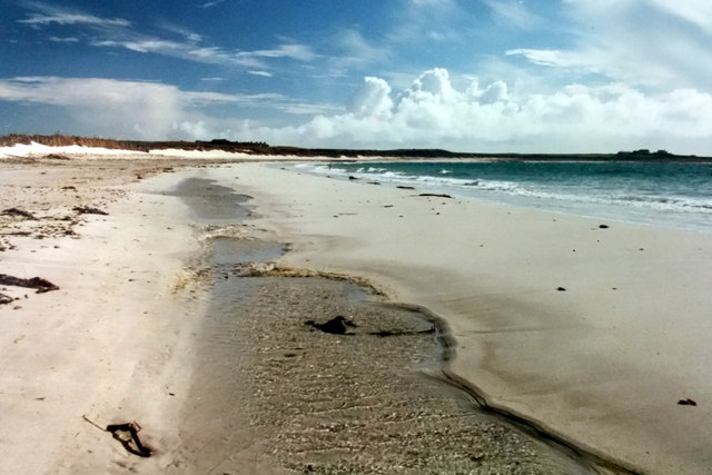
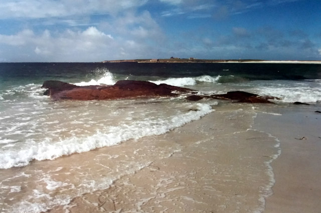
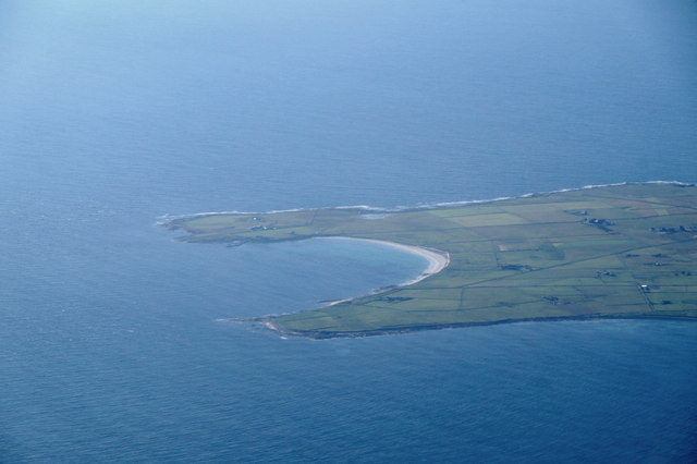
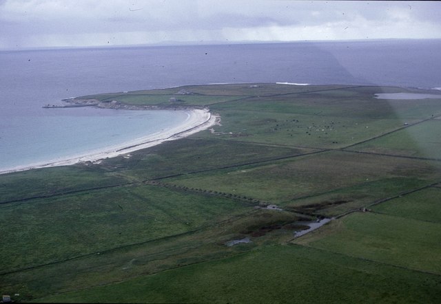
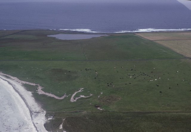
Scarffie Geo is a prominent coastal feature located in Orkney, a group of islands off the northeastern coast of Scotland. It is classified as a headland, or a narrow piece of land that juts out into the sea. More specifically, Scarffie Geo is a point, which is a headland that comes to a sharp and distinct end.
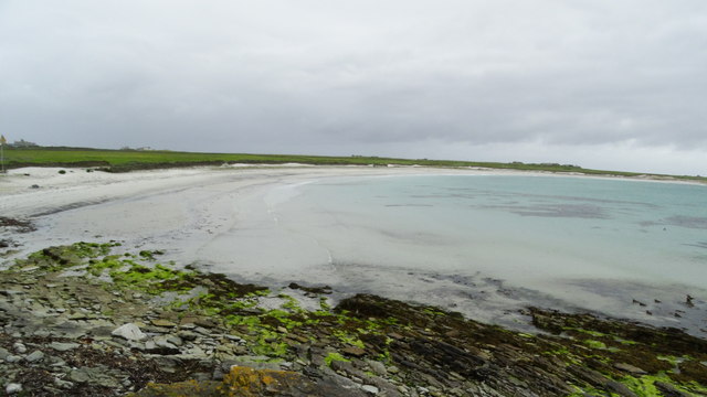
Situated on the western coast of the Orkney mainland, Scarffie Geo is known for its rugged beauty and stunning views of the surrounding landscape. The headland is characterized by steep cliffs that drop dramatically into the Atlantic Ocean below. These cliffs, formed by the relentless pounding of the waves over thousands of years, provide a nesting site for various seabird species, such as puffins, guillemots, and kittiwakes.
The name "Scarffie Geo" originates from the Old Norse language, with "scarffie" meaning "sharp" and "geo" referring to a narrow inlet or cove. This name aptly describes the point's distinctive shape and rocky nature.
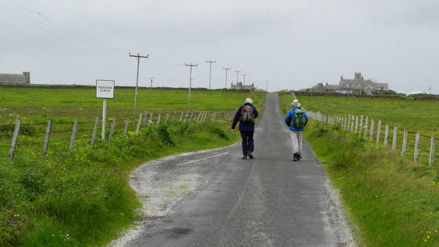
Scarffie Geo attracts many visitors, including nature enthusiasts, photographers, and hikers, who come to admire its natural beauty and explore the surrounding coastal trails. The headland offers unparalleled opportunities for outdoor activities such as birdwatching, rock climbing, and coastal walks.
Overall, Scarffie Geo is a captivating coastal feature in Orkney, renowned for its striking cliffs, diverse wildlife, and breathtaking views of the Atlantic Ocean.
If you have any feedback on the listing, please let us know in the comments section below.
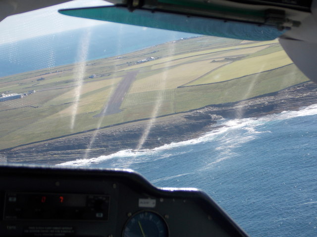
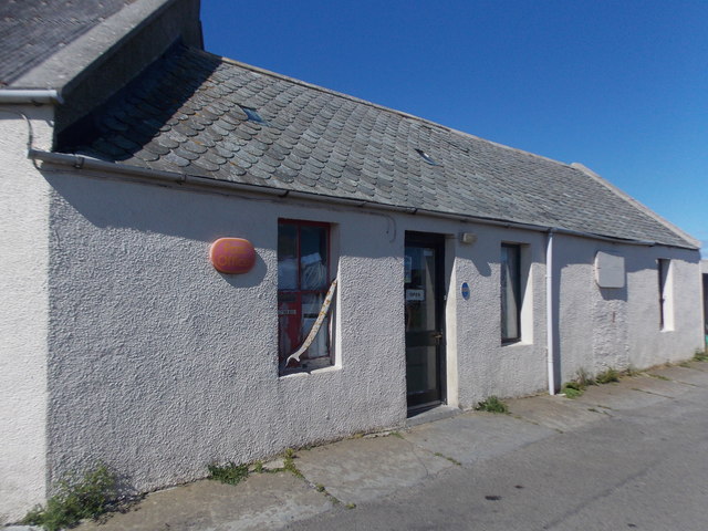
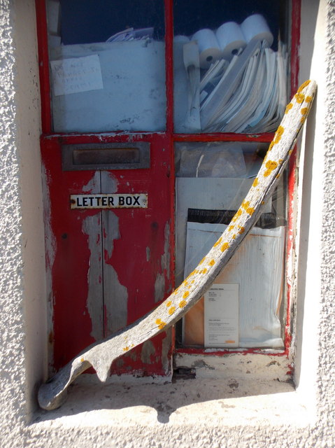
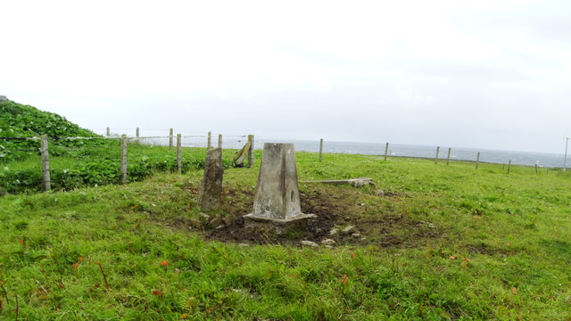
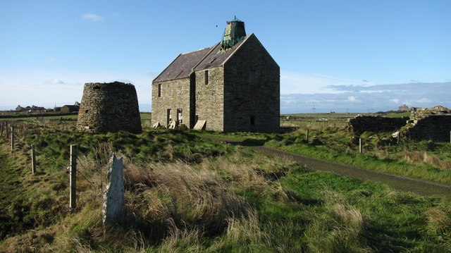
Scarffie Geo Images
Images are sourced within 2km of 59.355507/-2.4417471 or Grid Reference HY7452. Thanks to Geograph Open Source API. All images are credited.

Scarffie Geo is located at Grid Ref: HY7452 (Lat: 59.355507, Lng: -2.4417471)
Unitary Authority: Orkney Islands
Police Authority: Highlands and Islands
What 3 Words
///beep.seemingly.painter. Near Hollandstoun, Orkney Islands
Nearby Locations
Related Wikis

Bustatoun
Bustatoun is a village on the island of North Ronaldsay, in Orkney, Scotland. The settlement is within the parish of Cross and Burness. == References... ==

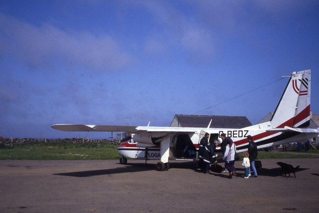
North Ronaldsay Airport
North Ronaldsay Airport (IATA: NRL, ICAO: EGEN) is located on North Ronaldsay island, 28 NM (52 km; 32 mi) northeast by north of Kirkwall, Orkney Islands...
Broch of Burrian
The Broch of Burrian is an Iron Age broch located on North Ronaldsay in the Orkney Islands, in Scotland (grid reference HY76275138). == Location == The...

Ancumtoun
Ancumtoun is a small settlement in the north of the island of North Ronaldsay, Orkney, Scotland. The settlement is within the parish of Cross and Burness...

Scar boat burial
The Scar boat burial is a Viking boat burial near the village of Scar, on Sanday, in Orkney, Scotland. The burial, which dates to between 875 and 950 AD...
Nearby Amenities
Located within 500m of 59.355507,-2.4417471Have you been to Scarffie Geo?
Leave your review of Scarffie Geo below (or comments, questions and feedback).