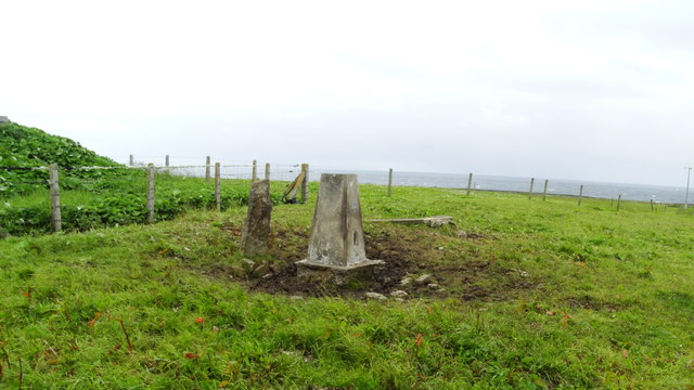
Sand Geo
Coastal Feature, Headland, Point in Orkney
Scotland
Sand Geo
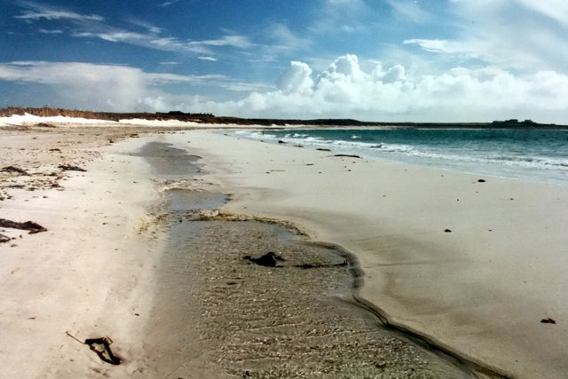
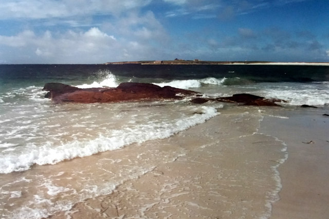
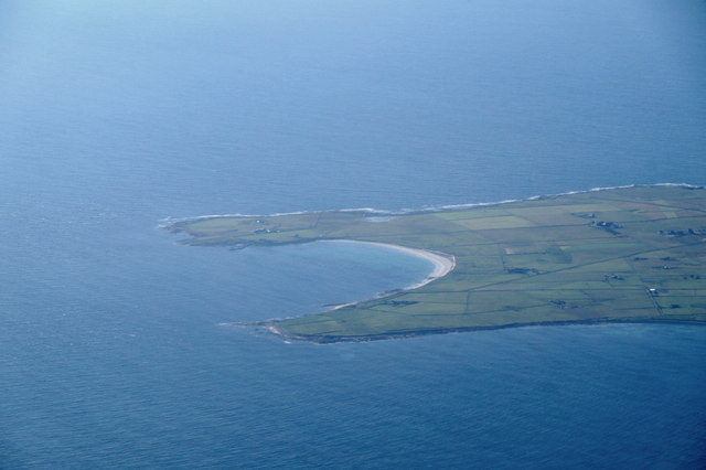
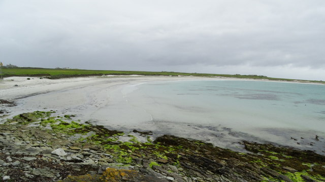
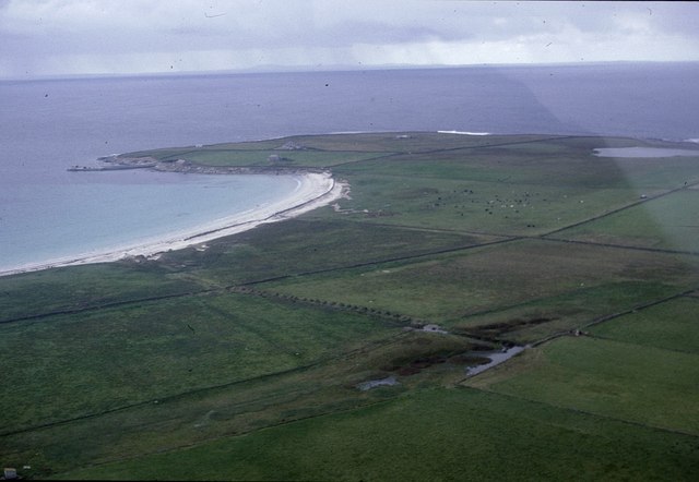
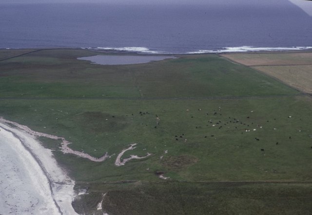
Sand Geo is a prominent coastal feature located in Orkney, an archipelago in Scotland. It is characterized as a headland or point due to its protrusion into the sea, creating a distinct and noticeable formation. The geo is named after the sandy beach that stretches towards the sea from the headland.
Situated on the eastern coast of Orkney Mainland, Sand Geo offers breathtaking views of the North Sea. Its rugged cliffs and rocky shoreline add to its natural beauty, attracting visitors and nature enthusiasts from all over the world. The headland is surrounded by pristine waters that are ideal for various recreational activities such as fishing, boating, and swimming.
The geological formation of Sand Geo is primarily composed of sandstone and other sedimentary rocks, which have been shaped by the relentless force of the sea over millions of years. Erosion has played a significant role in shaping the headland, resulting in its distinctive features and unique formations.
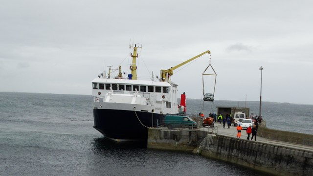
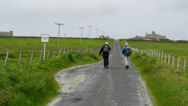
The location of Sand Geo also adds to its appeal, as it is conveniently accessible to both locals and tourists. It is easily reached by car or public transportation, and there are designated parking areas nearby. The headland is also part of a larger coastal trail, making it an attractive destination for hikers and walkers.
In conclusion, Sand Geo is a striking coastal feature in Orkney Mainland, offering stunning views of the North Sea. Its rocky cliffs, sandy beach, and geological formations make it a popular destination for outdoor enthusiasts and nature lovers alike.
If you have any feedback on the listing, please let us know in the comments section below.
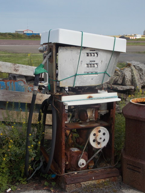
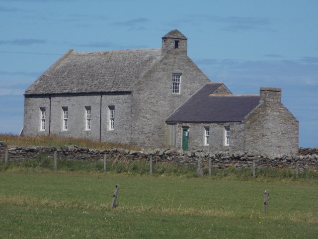
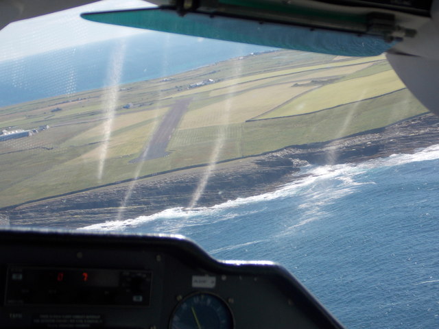
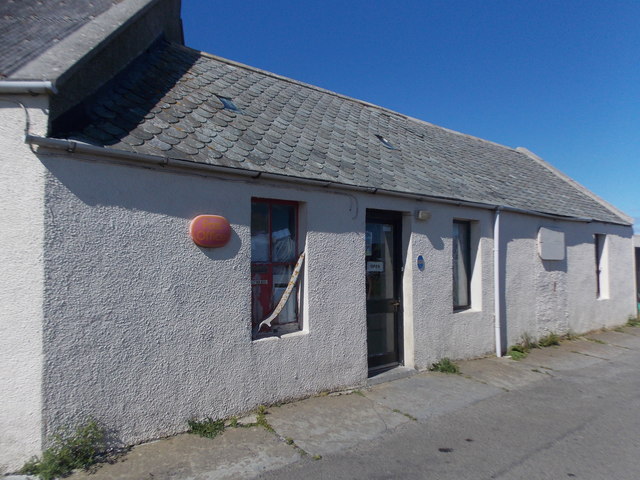
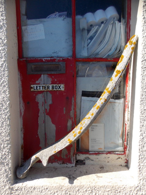
Sand Geo Images
Images are sourced within 2km of 59.356014/-2.4457812 or Grid Reference HY7452. Thanks to Geograph Open Source API. All images are credited.

Sand Geo is located at Grid Ref: HY7452 (Lat: 59.356014, Lng: -2.4457812)
Unitary Authority: Orkney Islands
Police Authority: Highlands and Islands
What 3 Words
///regress.deriving.affords. Near Hollandstoun, Orkney Islands
Nearby Locations
Related Wikis

Bustatoun
Bustatoun is a village on the island of North Ronaldsay, in Orkney, Scotland. The settlement is within the parish of Cross and Burness. == References... ==

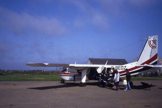
North Ronaldsay Airport
North Ronaldsay Airport (IATA: NRL, ICAO: EGEN) is located on North Ronaldsay island, 28 NM (52 km; 32 mi) northeast by north of Kirkwall, Orkney Islands...
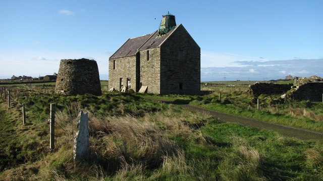
Broch of Burrian
The Broch of Burrian is an Iron Age broch located on North Ronaldsay in the Orkney Islands, in Scotland (grid reference HY76275138). == Location == The...

Ancumtoun
Ancumtoun is a small settlement in the north of the island of North Ronaldsay, Orkney, Scotland. The settlement is within the parish of Cross and Burness...

Scar boat burial
The Scar boat burial is a Viking boat burial near the village of Scar, on Sanday, in Orkney, Scotland. The burial, which dates to between 875 and 950 AD...
Nearby Amenities
Located within 500m of 59.356014,-2.4457812Have you been to Sand Geo?
Leave your review of Sand Geo below (or comments, questions and feedback).