Kiln Geo
Coastal Feature, Headland, Point in Orkney
Scotland
Kiln Geo
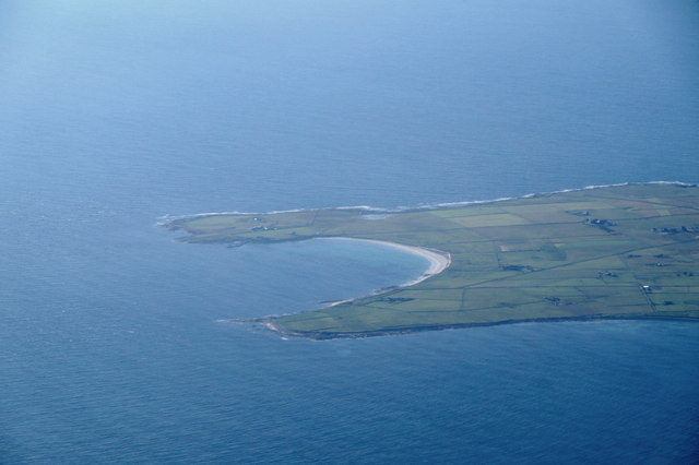
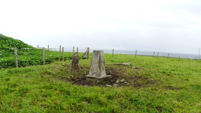
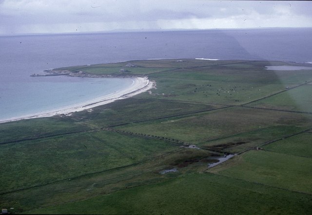
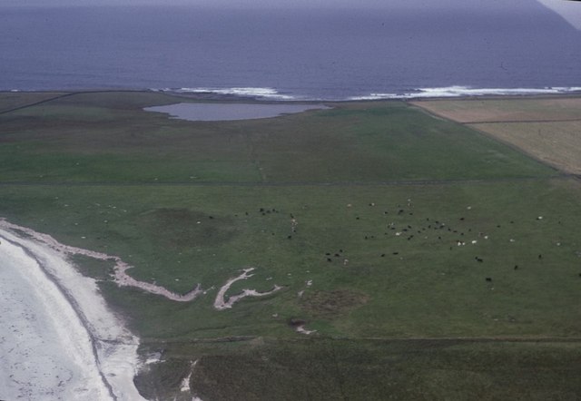
Kiln Geo is a prominent coastal feature located on the island of Orkney, in Scotland. It is a headland that juts out into the North Sea, forming a distinct point along the Orkney coastline. The name "Kiln Geo" is derived from the Old Norse word "geir," meaning a narrow inlet or cove, and "kelda," meaning a spring or well.
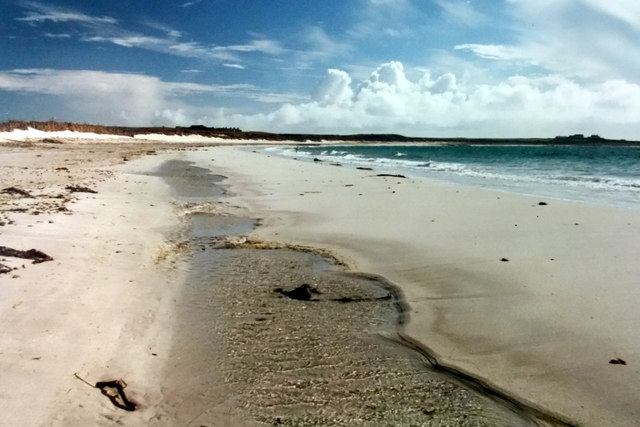
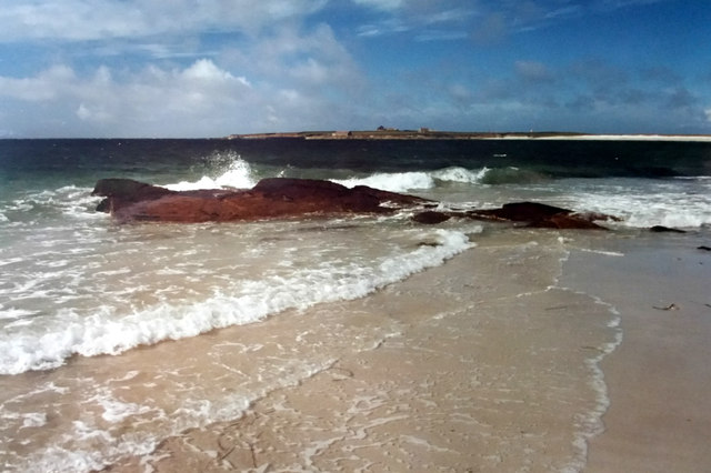
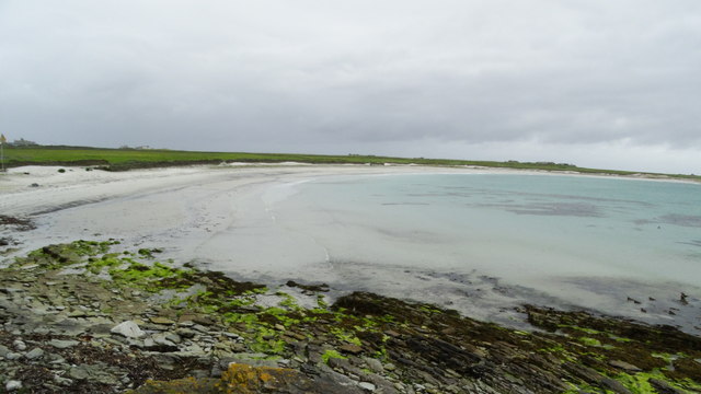
The headland is characterized by its rugged cliffs, which rise steeply from the sea to impressive heights. These cliffs are composed of layers of sedimentary rock, showcasing the geological history of the area. Over time, the relentless action of the sea has carved out caves and arches along the base of the headland, adding to its dramatic beauty.
Kiln Geo is also known for its rich wildlife. The cliffs provide nesting sites for a variety of seabirds, including puffins, guillemots, and fulmars. Visitors to the area can often observe these birds as they soar through the sky or dive into the water in search of fish.
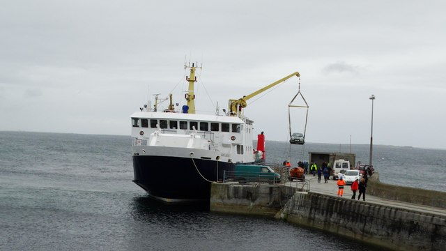
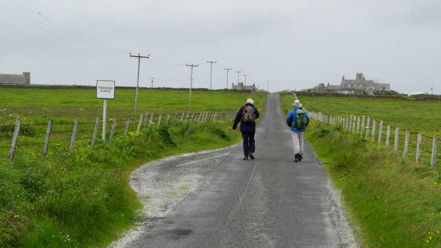
The headland offers breathtaking views of the surrounding coastline and the vast expanse of the North Sea. It is a popular spot for walkers and hikers, who can explore the coastal trails and enjoy the fresh sea air. With its natural beauty and diverse wildlife, Kiln Geo is a must-visit destination for nature enthusiasts and those seeking a peaceful retreat amidst the stunning landscape of Orkney.
If you have any feedback on the listing, please let us know in the comments section below.
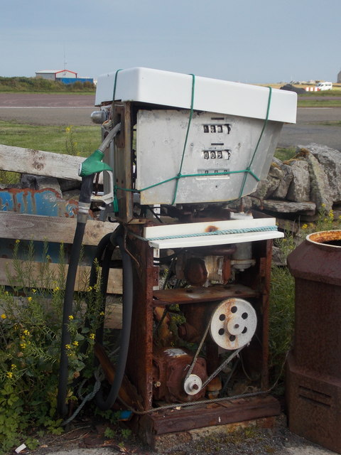
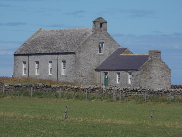
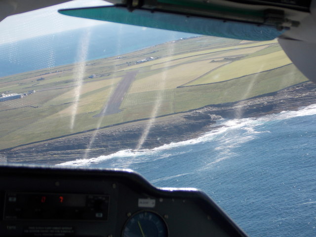
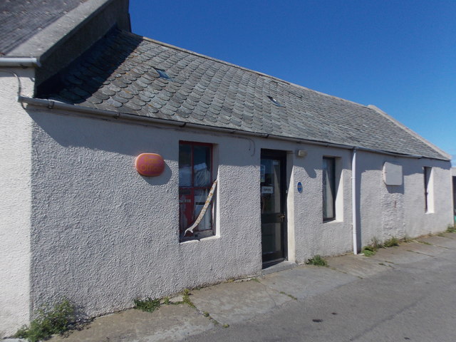
Kiln Geo Images
Images are sourced within 2km of 59.356248/-2.4484048 or Grid Reference HY7452. Thanks to Geograph Open Source API. All images are credited.

Kiln Geo is located at Grid Ref: HY7452 (Lat: 59.356248, Lng: -2.4484048)
Unitary Authority: Orkney Islands
Police Authority: Highlands and Islands
What 3 Words
///fits.buying.tides. Near Hollandstoun, Orkney Islands
Nearby Locations
Related Wikis

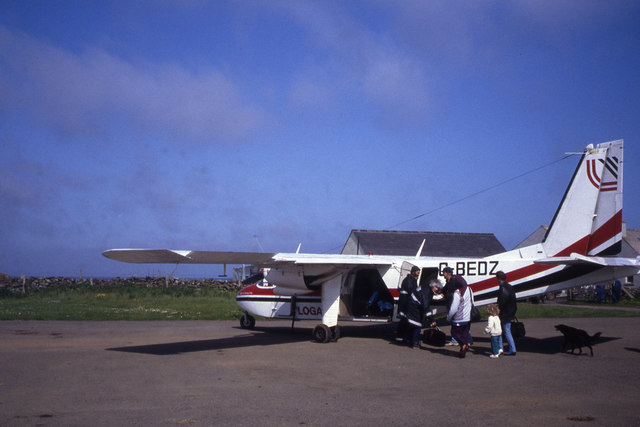
North Ronaldsay Airport
North Ronaldsay Airport (IATA: NRL, ICAO: EGEN) is located on North Ronaldsay island, 28 NM (52 km; 32 mi) northeast by north of Kirkwall, Orkney Islands...

Bustatoun
Bustatoun is a village on the island of North Ronaldsay, in Orkney, Scotland. The settlement is within the parish of Cross and Burness. == References... ==
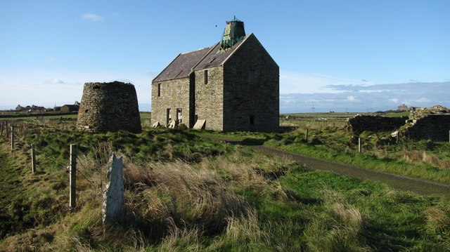
Broch of Burrian
The Broch of Burrian is an Iron Age broch located on North Ronaldsay in the Orkney Islands, in Scotland (grid reference HY76275138). == Location == The...

Ancumtoun
Ancumtoun is a small settlement in the north of the island of North Ronaldsay, Orkney, Scotland. The settlement is within the parish of Cross and Burness...

Scar boat burial
The Scar boat burial is a Viking boat burial near the village of Scar, on Sanday, in Orkney, Scotland. The burial, which dates to between 875 and 950 AD...
Nearby Amenities
Located within 500m of 59.356248,-2.4484048Have you been to Kiln Geo?
Leave your review of Kiln Geo below (or comments, questions and feedback).