Moe Geo
Coastal Feature, Headland, Point in Orkney
Scotland
Moe Geo
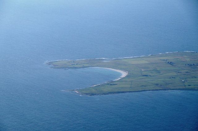
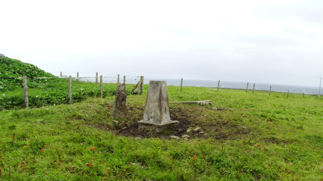
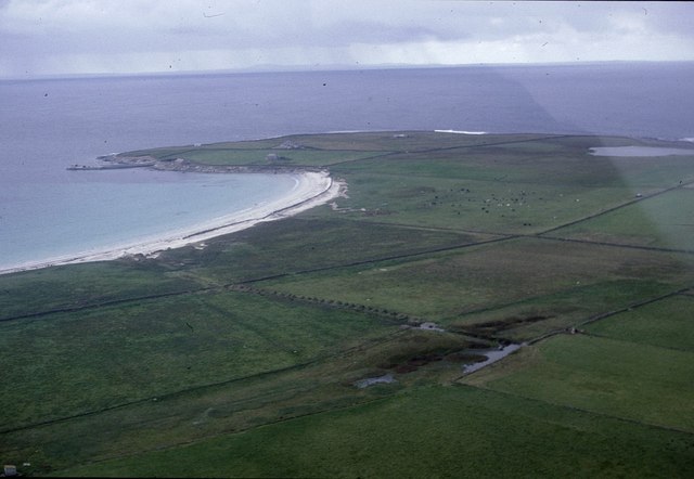
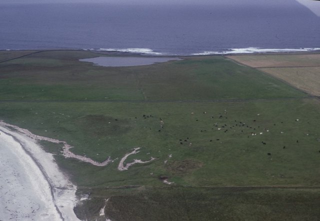
Moe Geo is a prominent coastal feature located in Orkney, a group of islands situated off the northeastern coast of Scotland. It is specifically categorized as a headland or point, jutting out into the North Sea. Moe Geo is positioned in the southern part of the Mainland, the largest island in Orkney.
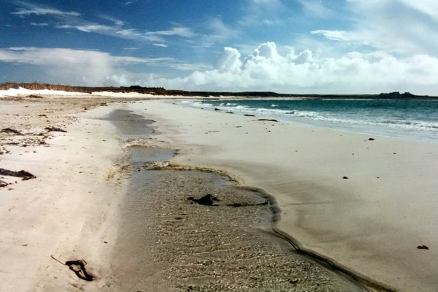
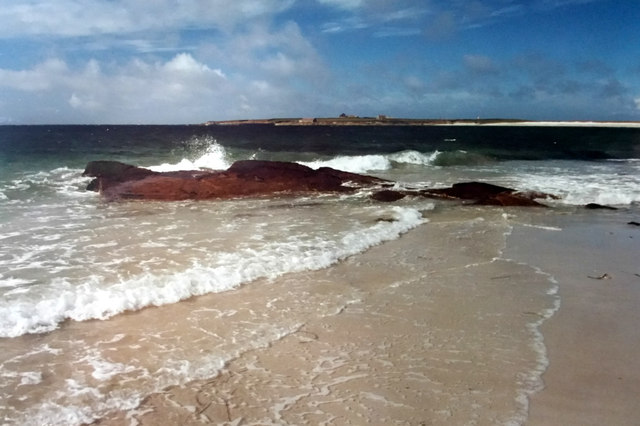
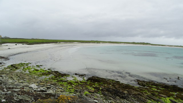
This coastal feature is characterized by its rugged and dramatic cliffs that rise steeply from the sea, creating a striking landscape. The cliffs are mostly composed of weather-resistant sandstone and are known for their distinct geological formations, including caves, stacks, and arches. These formations have been shaped by the relentless power of the sea over thousands of years.
Moe Geo offers breathtaking views of the surrounding coastal scenery, with the vast expanse of the North Sea stretching out into the horizon. The headland is also home to a variety of seabirds, including guillemots, puffins, and fulmars, which nest in the cliffs during the breeding season. Visitors to Moe Geo can often witness these magnificent birds soaring above the cliffs or diving into the sea in search of fish.
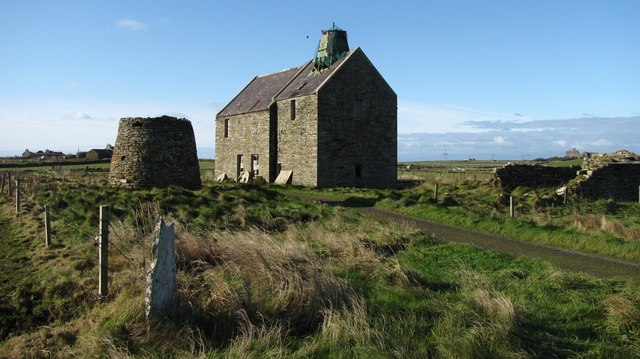
The area around Moe Geo is rich in historical significance, with several archaeological sites nearby, including ancient settlements and burial grounds. These remnants of Orkney's past provide a glimpse into the lives of the people who inhabited the area thousands of years ago.
Overall, Moe Geo stands as a captivating coastal feature, offering both natural beauty and a connection to Orkney's rich history. It is a must-visit destination for nature enthusiasts, birdwatchers, and those seeking a glimpse into the ancient past of this remarkable island group.
If you have any feedback on the listing, please let us know in the comments section below.
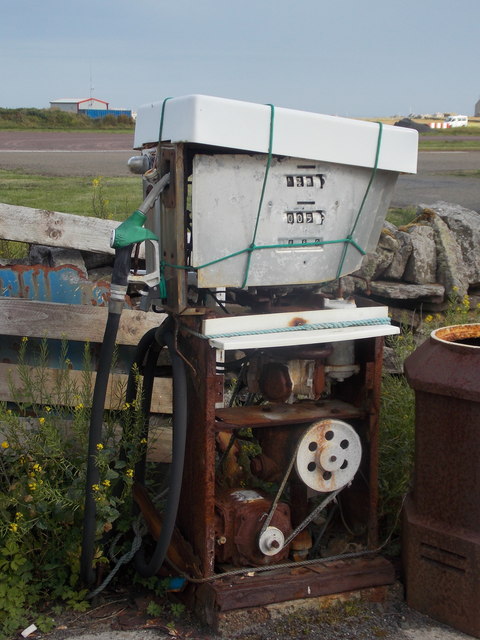
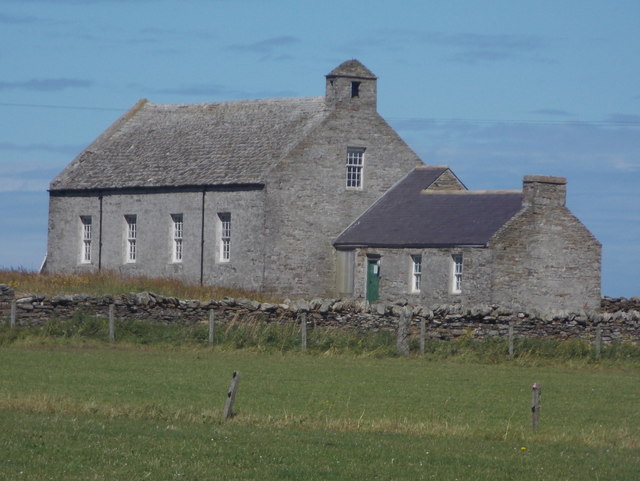
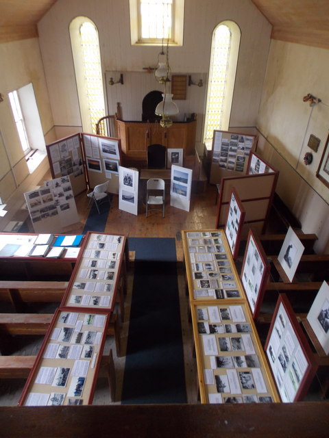
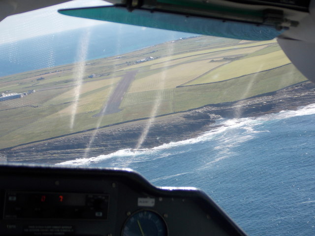
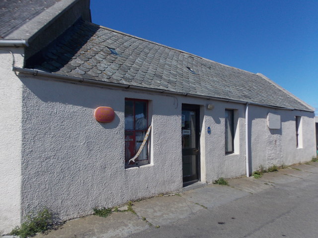
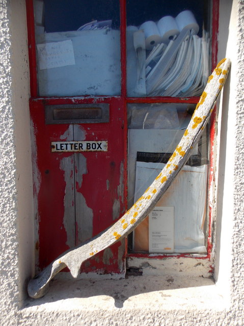
Moe Geo Images
Images are sourced within 2km of 59.360134/-2.4489134 or Grid Reference HY7452. Thanks to Geograph Open Source API. All images are credited.

Moe Geo is located at Grid Ref: HY7452 (Lat: 59.360134, Lng: -2.4489134)
Unitary Authority: Orkney Islands
Police Authority: Highlands and Islands
What 3 Words
///flattered.blesses.tins. Near Hollandstoun, Orkney Islands
Nearby Locations
Related Wikis

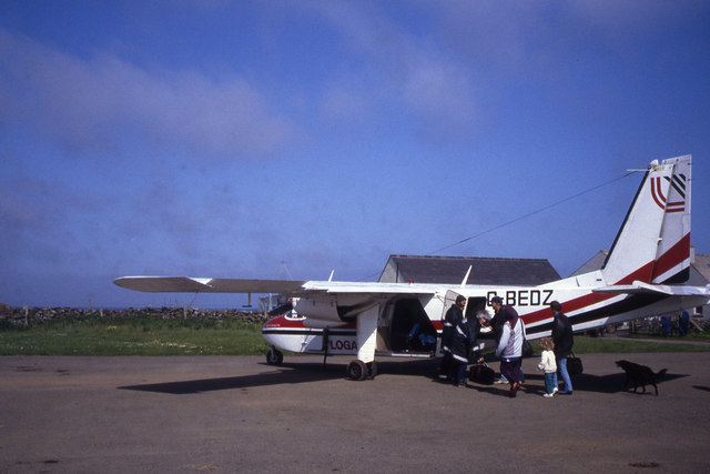
North Ronaldsay Airport
North Ronaldsay Airport (IATA: NRL, ICAO: EGEN) is located on North Ronaldsay island, 28 NM (52 km; 32 mi) northeast by north of Kirkwall, Orkney Islands...

Bustatoun
Bustatoun is a village on the island of North Ronaldsay, in Orkney, Scotland. The settlement is within the parish of Cross and Burness. == References... ==
Broch of Burrian
The Broch of Burrian is an Iron Age broch located on North Ronaldsay in the Orkney Islands, in Scotland (grid reference HY76275138). == Location == The...

Ancumtoun
Ancumtoun is a small settlement in the north of the island of North Ronaldsay, Orkney, Scotland. The settlement is within the parish of Cross and Burness...
Related Videos
North Ronaldsay Trip 2021
I hope you enjoyed the video, if you did consider Subscribing it means a lot. I posted all of my photos on Facebook if you are ...
Old Beacon Lighthouse On Island Of North Ronaldsay On History Visit To Orkney Islands Of Scotland
Tour Scotland short travel video clip, with Scottish music, of the Old Beacon Lighthouse on On Island Of North Ronaldsay on ...
Wandering in North Ronaldsay ~ and a cup of tea with Ian Scott
Ian Scott of "A Letter From North Ronaldsay" fame is a “weel-kent face” in Orkney. Born in North Ronaldsay some eight decades ...

Sheep That Eat Seaweed On History Visit To North Ronaldsay Orkney Islands Scotland
Tour Scotland short 4K wildlife nature camera travel video clip of sheep that eat seaweed on ancestry, genealogy, family history ...
Nearby Amenities
Located within 500m of 59.360134,-2.4489134Have you been to Moe Geo?
Leave your review of Moe Geo below (or comments, questions and feedback).