Heughs of St Cyrus
Cliff, Slope in Kincardineshire
Scotland
Heughs of St Cyrus
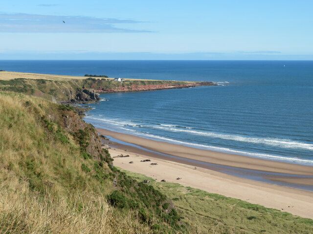
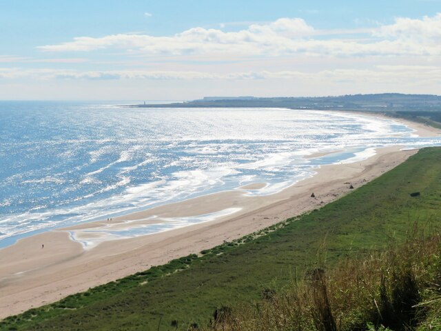
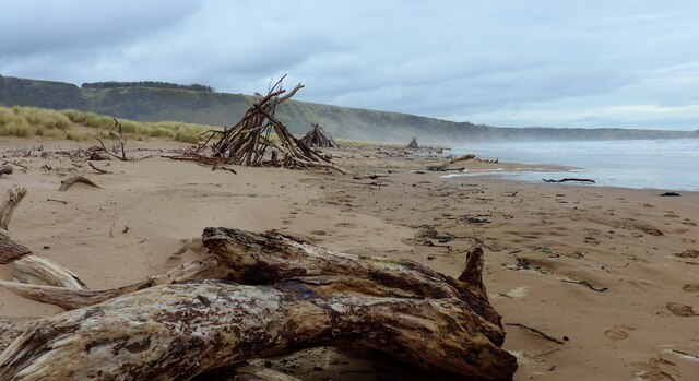
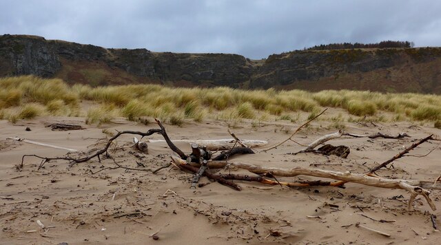
Heughs of St Cyrus is a prominent natural feature located in Kincardineshire, Scotland. It is a stunning cliff and slope formation that stretches along the eastern coast of the village of St Cyrus, offering breathtaking views of the North Sea. The cliffs rise to an impressive height of approximately 200 feet, creating a dramatic backdrop against the surrounding landscape.
The Heughs of St Cyrus are composed of layers of sandstone, dating back millions of years. These sedimentary rocks showcase various colors, ranging from shades of red to yellow, adding to the beauty and charm of the area. Erosion over time has sculpted the cliffs, creating unique formations and crevices.
The steep slope leading down from the cliffs is covered in lush vegetation, including heather, grasses, and wildflowers, adding a vibrant touch to the landscape. This area is home to a diverse range of plant and animal species, making it a popular spot for nature enthusiasts and birdwatchers.
The Heughs of St Cyrus also hold great historical and archaeological significance. The remains of an Iron Age hillfort can be found near the cliffs, providing insights into the ancient civilizations that once inhabited the region.
Due to its stunning beauty and ecological importance, the Heughs of St Cyrus has been designated as a Site of Special Scientific Interest. It offers visitors a chance to immerse themselves in the natural beauty and rich history of this enchanting coastal area.
If you have any feedback on the listing, please let us know in the comments section below.
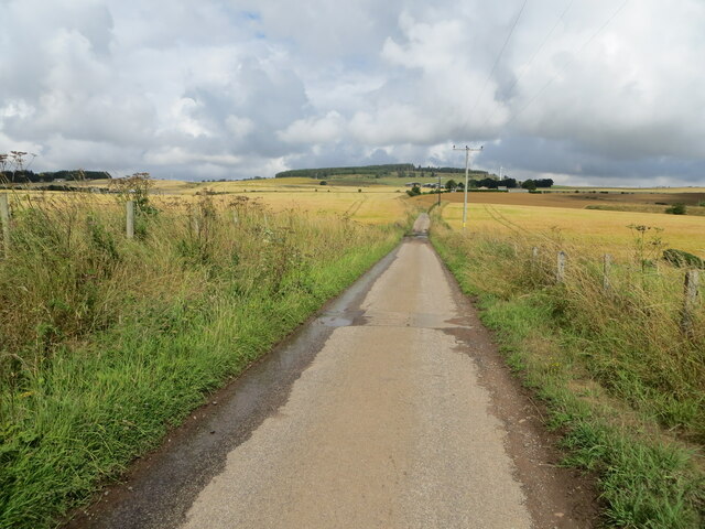
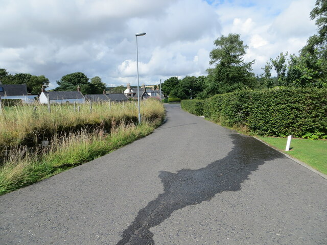
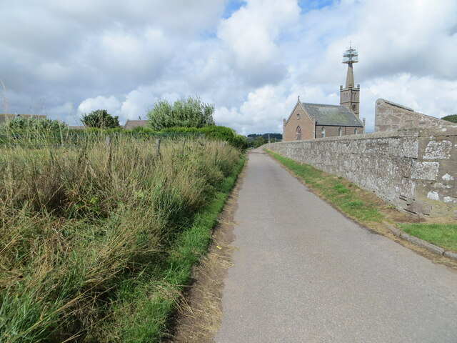
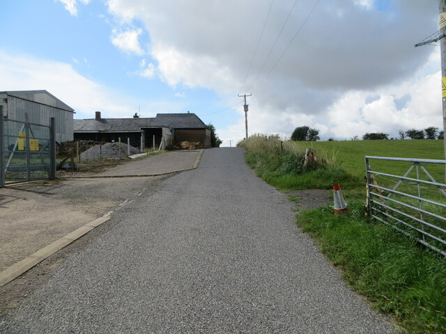
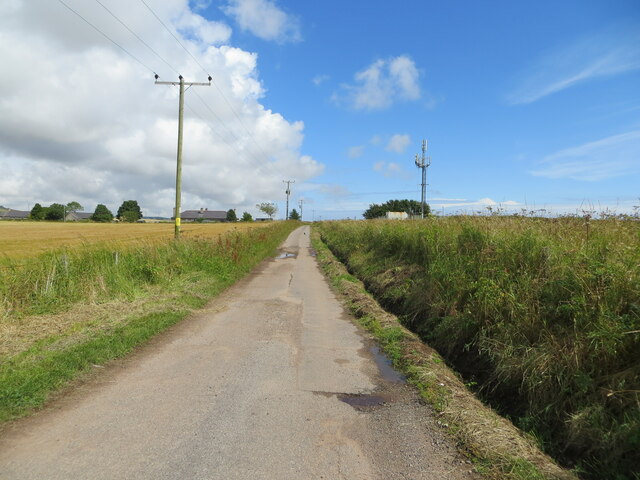
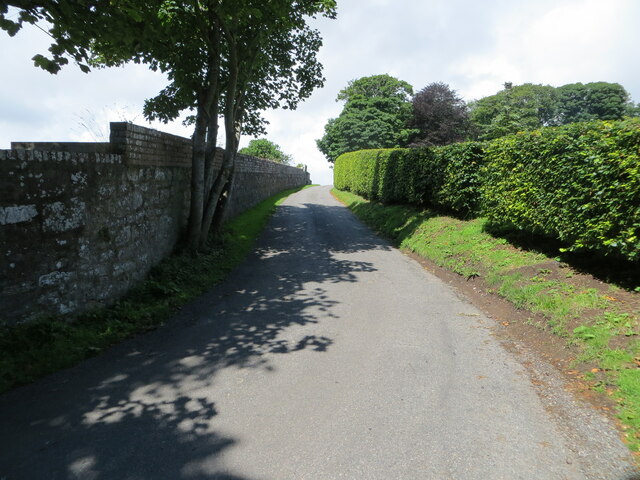
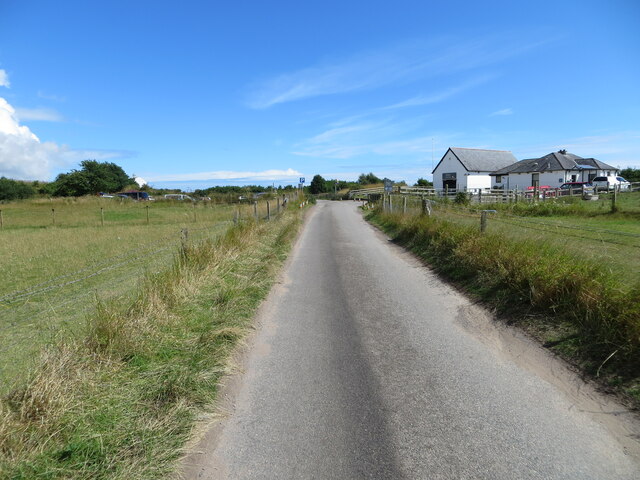
Heughs of St Cyrus Images
Images are sourced within 2km of 56.769338/-2.4148037 or Grid Reference NO7464. Thanks to Geograph Open Source API. All images are credited.


Heughs of St Cyrus is located at Grid Ref: NO7464 (Lat: 56.769338, Lng: -2.4148037)
Unitary Authority: Aberdeenshire
Police Authority: North East
What 3 Words
///forkful.gladiator.series. Near St Cyrus, Aberdeenshire
Nearby Locations
Related Wikis

St Cyrus railway station
St Cyrus railway station served the village of St Cyrus, Aberdeenshire, Scotland from 1865 to 1951. == History == The station was opened on 1 November...
St Cyrus
St Cyrus or Saint Cyrus (Scots: Saunt Ceerus), formerly Ecclesgreig (from Scottish Gaelic: Eaglais Chiric) is a village in the far south of Aberdeenshire...

St Cyrus National Nature Reserve
St Cyrus National Nature Reserve (NNR) is situated between the village of St Cyrus and the North Sea in the far south of the council area of Aberdeenshire...

Lauriston railway station
Lauriston railway station served the village of Bush, Aberdeenshire, Scotland from 1865 to 1966 on the Montrose and Bervie Railway. == History == The station...

River North Esk, Angus
The North Esk (Scottish Gaelic: Easg Thuath) is a river in Angus and Aberdeenshire, Scotland. It is formed by the meeting of the Water of Mark (from Glen...

Milton Ness
Milton Ness is a coastal landform along the coast of the North Sea approximately two miles south of the village of Johnshaven, Scotland. This headland...

Lauriston Castle, Aberdeenshire
Lauriston Castle stands on a clifftop site near the Aberdeenshire village of St Cyrus and just over a mile inland from the North Sea coast of Scotland...
North Water Bridge Halt railway station
North Water Bridge Halt railway station served the village of St Cyrus, Aberdeenshire, Scotland from 1866 to 1951 on the Montrose and Bervie Railway....
Nearby Amenities
Located within 500m of 56.769338,-2.4148037Have you been to Heughs of St Cyrus?
Leave your review of Heughs of St Cyrus below (or comments, questions and feedback).