St Cyrus

Settlement in Kincardineshire

Scotland

St Cyrus

Minor road at Nether Woodston Looking north-westward.
Minor road at Nether Woodston Credit: Peter Wood

St Cyrus is a small village located in the county of Kincardineshire, Scotland. Situated on the eastern coast, it lies approximately 30 miles south of Aberdeen. The village is nestled between the North Sea and the Montrose Basin Nature Reserve, offering stunning views and a diverse range of natural habitats.

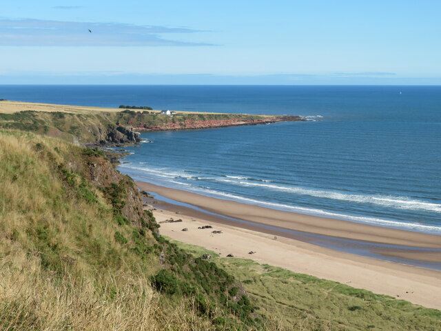
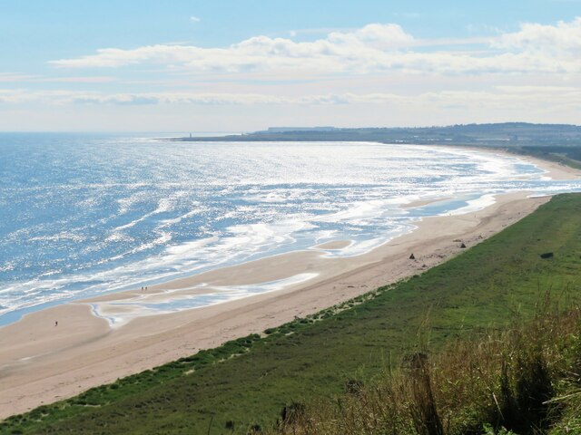
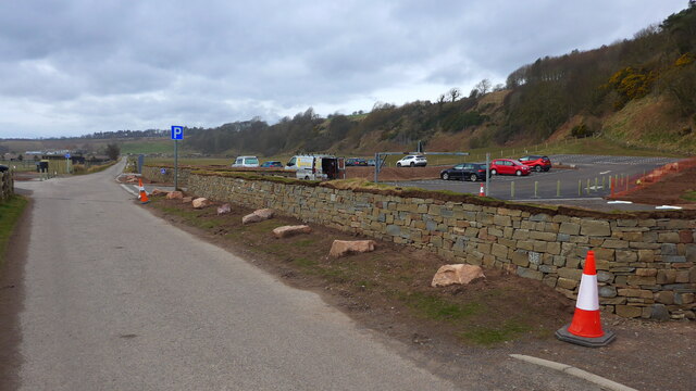
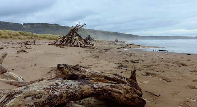
St Cyrus is known for its beautiful sandy beach, which stretches for around three miles and is backed by striking sand dunes. The beach is a popular destination for locals and visitors alike, offering opportunities for leisurely walks, picnics, and various water activities like swimming and surfing. The dunes are a designated Site of Special Scientific Interest due to their ecological importance and unique flora and fauna.

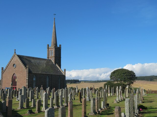
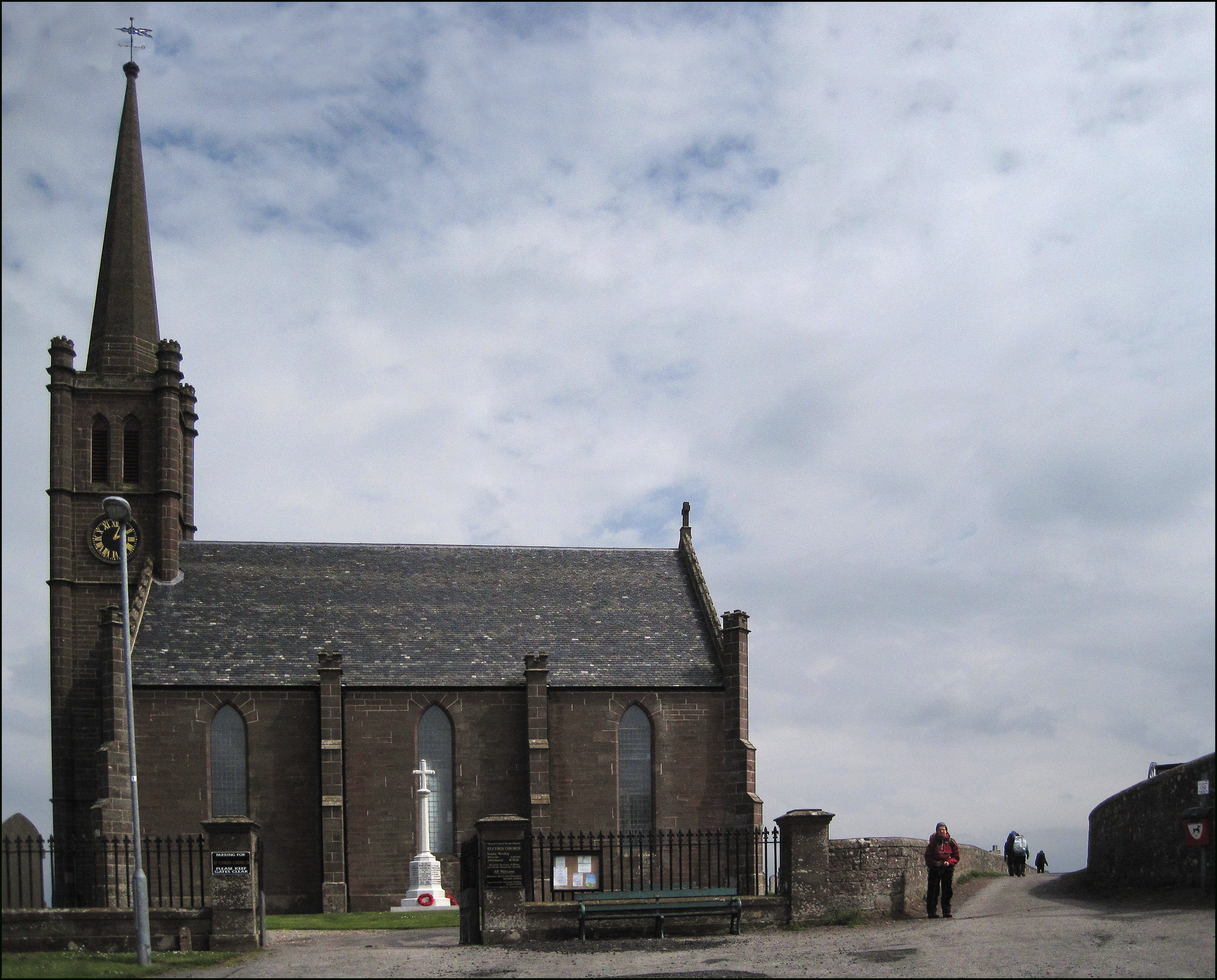
The village itself is small but charming, with a mix of traditional and modern houses. It features a primary school, a community hall, and a few local shops. The surrounding countryside is predominantly agricultural, with fields of crops and grazing livestock.

St Cyrus is also home to the St Cyrus National Nature Reserve, managed by Scottish Natural Heritage. The reserve covers an area of around 92 hectares and encompasses a range of habitats, including coastal cliffs, grasslands, and woodland. It is particularly renowned for its diverse bird population, with species such as peregrine falcons, red kites, and various seabirds frequenting the area.

Overall, St Cyrus offers a serene and picturesque setting, with its stunning beach, nature reserve, and rural surroundings, all contributing to its appeal for both residents and visitors seeking a tranquil coastal retreat.

If you have any feedback on the listing, please let us know in the comments section below.
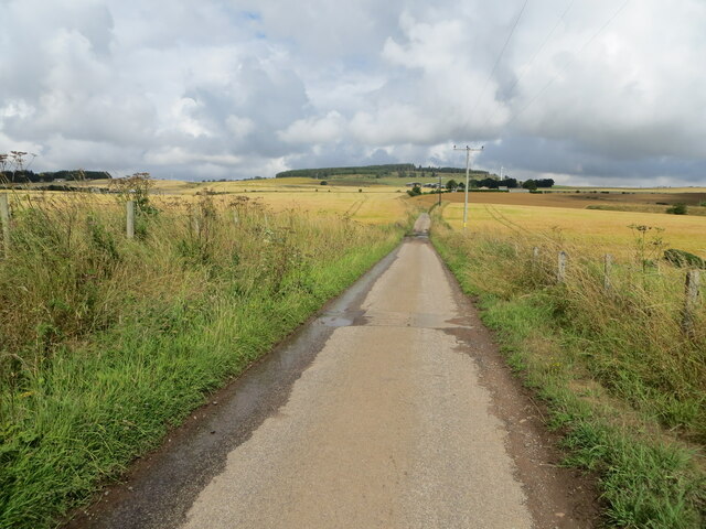
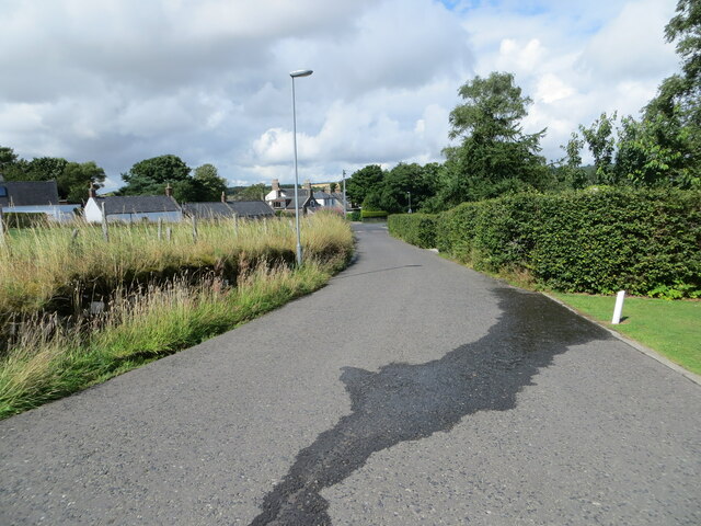
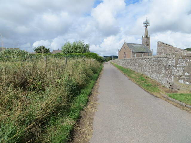
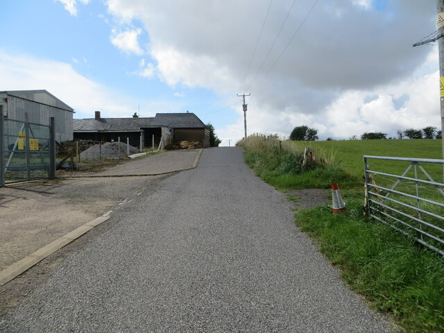
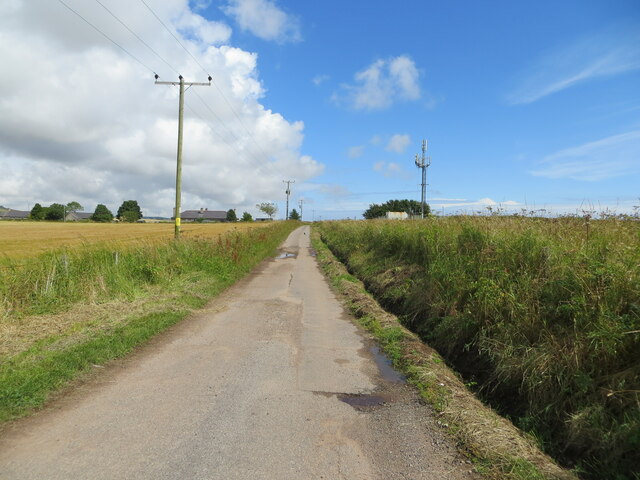
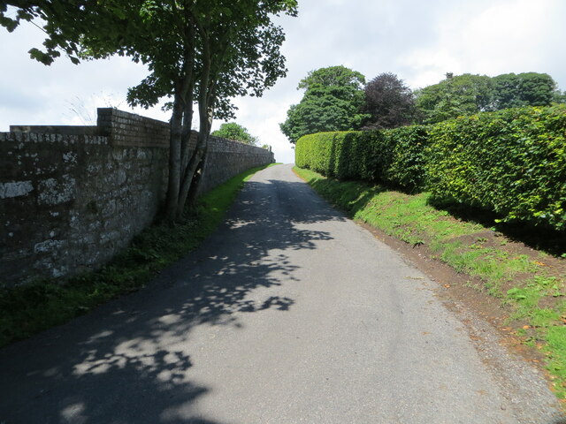
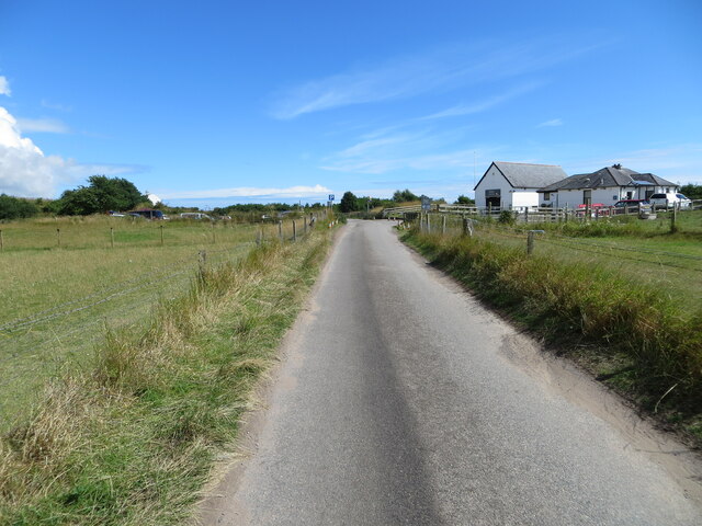
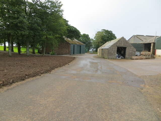
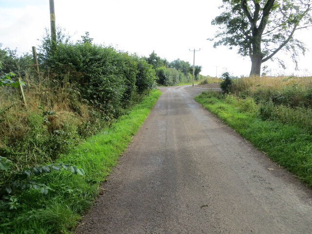
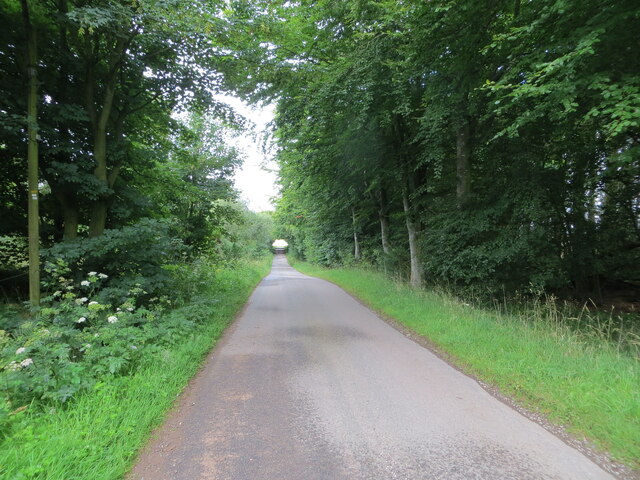
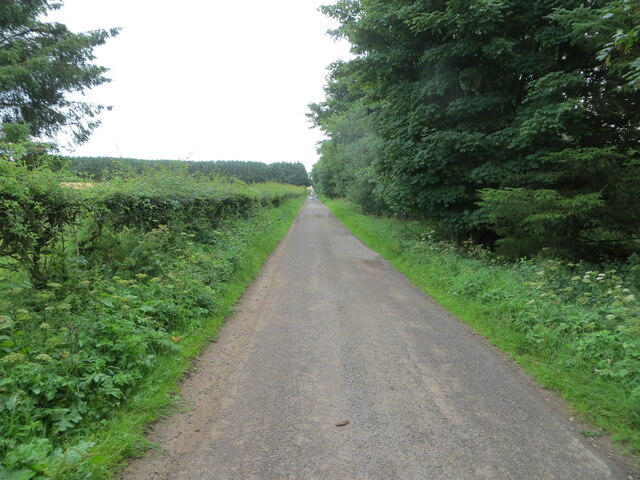
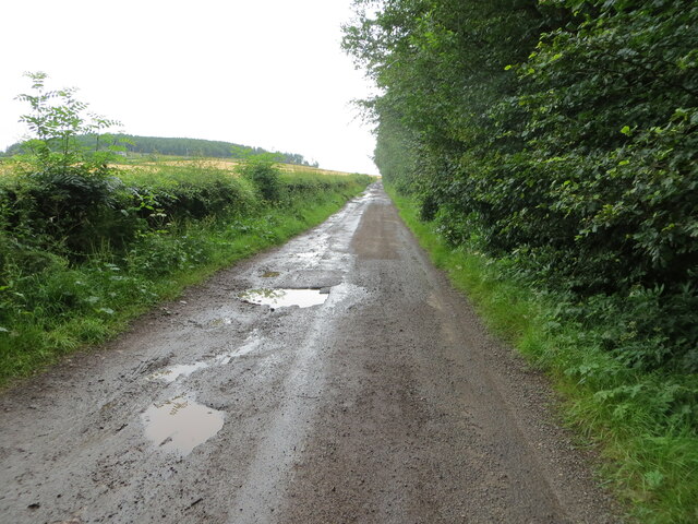
St Cyrus Images

Images are sourced within 2km of 56.773972/-2.4177346 or Grid Reference NO7464. Thanks to Geograph Open Source API. All images are credited.

Minor road at Nether Woodston Looking north-westward.
Minor road at Nether Woodston
Looking north-westward.
Beach Road, St Cyrus Looking north-westward.
Beach Road, St Cyrus
Looking north-westward.
Beach Road, St Cyrus Looking north-westward towards the 'under repair' St Cyrus Church.
Beach Road, St Cyrus
Looking north-westward towards the 'under repair' St Cyrus Church.
Minor road at Greenburn Looking south-westward.
Minor road at Greenburn
Looking south-westward.
Minor road near to Scotston of Kirkside Looking north-eastward.
Minor road near to Scotston of Kirkside
Looking north-eastward.
Hedge and wall-lined minor road at Kirkside Looking north-westward.
Hedge and wall-lined minor road at Kirkside
Looking north-westward.
Minor road approaching St Cyrus Visitor Centre and Car Park Looking north-eastward.
Minor road approaching St Cyrus Visitor Centre and Car Park
Looking north-eastward.
Minor road at Mains of Woodstone Looking south-eastward.
Minor road at Mains of Woodstone
Looking south-eastward.
Minor road near to Mains of Woodstone Looking eastward.
Minor road near to Mains of Woodstone
Looking eastward.
Minor road near to South Snadon Looking south-westward from the entrance to North Snadon.
Minor road near to South Snadon
Looking south-westward from the entrance to North Snadon.
Tree and hedge-lined minor road near to Ecclesgreig Looking north-eastward.
Tree and hedge-lined minor road near to Ecclesgreig
Looking north-eastward.
Minor road in need of repair near to Ecclesgreig Looking north-eastward.
Minor road in need of repair near to Ecclesgreig
Looking north-eastward.
St Cyrus sands The view from the clifftop at Kirkton, looking down to the beach and across to the headland of Milton Ness.
St Cyrus sands
The view from the clifftop at Kirkton, looking down to the beach and across to the headland of Milton Ness.
Montrose Bay Looking down to the Sands of St Cyrus from the clifftop at Kirkton. The long sand fringed bay extending all the way to Montrose.
Montrose Bay
Looking down to the Sands of St Cyrus from the clifftop at Kirkton. The long sand fringed bay extending all the way to Montrose.
St Cyrus parish church Late 18th century church at the eastern end of St Cyrus village in the area known as Kirkton.
St Cyrus parish church
Late 18th century church at the eastern end of St Cyrus village in the area known as Kirkton.
Ordnance Survey Flush Bracket S7206 This bracket can be found on the wall of a private house - formerly Church Hall - in St Cyrus.
The recorded details give a height of 74.304 metres above sea level.
For more detail see : <span class="nowrap"><a title="https://www.bench-marks.org.uk/bm1239" rel="nofollow ugc noopener" href="https://www.bench-marks.org.uk/bm1239">Link</a><img style="margin-left:2px;" alt="External link" title="External link - shift click to open in new window" src="https://s1.geograph.org.uk/img/external.png" width="10" height="10"/></span>
Ordnance Survey Flush Bracket S7206
This bracket can be found on the wall of a private house - formerly Church Hall - in St Cyrus. The recorded details give a height of 74.304 metres above sea level. For more detail see : LinkExternal link
New carpark at St Cyrus National Nature Reserve Some very nice dry-stane dyking has been done here.
New carpark at St Cyrus National Nature Reserve
Some very nice dry-stane dyking has been done here.
Driftwood pyramids at St Cyrus beach Note the spray at near high tide on a day with a brisk wind.
Driftwood pyramids at St Cyrus beach
Note the spray at near high tide on a day with a brisk wind.
Show me another place!

St Cyrus is located at Grid Ref: NO7464 (Lat: 56.773972, Lng: -2.4177346)

Unitary Authority: Aberdeenshire

Police Authority: North East

What 3 Words

///hologram.manuals.caring. Near St Cyrus, Aberdeenshire

Related Wikis

St Cyrus

St Cyrus or Saint Cyrus (Scots: Saunt Ceerus), formerly Ecclesgreig (from Scottish Gaelic: Eaglais Chiric) is a village in the far south of Aberdeenshire...

St Cyrus railway station

St Cyrus railway station served the village of St Cyrus, Aberdeenshire, Scotland from 1865 to 1951. == History == The station was opened on 1 November...

St Cyrus National Nature Reserve

St Cyrus National Nature Reserve (NNR) is situated between the village of St Cyrus and the North Sea in the far south of the council area of Aberdeenshire...

Lauriston railway station

Lauriston railway station served the village of Bush, Aberdeenshire, Scotland from 1865 to 1966 on the Montrose and Bervie Railway. == History == The station...

Nearby Amenities

Located within 500m of 56.773972,-2.4177346
St Cyrus
Alt Name Gd: Eaglais Chiric
Alt Name Sco: Saunt Ceerus
Is In: Aberdeenshire, Scotland, UK
Name Gd: Eaglais Ghirig
Name Sco: St Ceerus
Old Name: Ecclesgreig
Place: village
Population: 1120
Wikidata: Q1011272
Wikipedia: en:St Cyrus
Lat/Long: 56.7742789/-2.4159051
Noexit: yes
Lat/Long: 56.7730194/-2.4191226
Noexit: yes
Lat/Long: 56.7725554/-2.4185993
Noexit: yes
Lat/Long: 56.7738783/-2.4139119
Scout Hall
Club: yes
Lat/Long: 56.7748806/-2.4108916
Entrance: yes
Lat/Long: 56.7736179/-2.4114443
Entrance: main
Lat/Long: 56.7733488/-2.4116975
Pub
Great Scot
Lat/Long: 56.7745221/-2.4169374
Post Box
Operator: Royal Mail
Post Box Design: type_a
Post Box Type: pillar
Royal Cypher: scottish_crown
Lat/Long: 56.7735792/-2.4191348
Bus Stop
Mercury Lone
Bench: no
Bus: yes
Naptan AtcoCode: 630040541
Naptan Bearing: NE
Naptan CommonName: Mercury Lone
Naptan Indicator: opp
Naptan NaptanCode: 23624865
Naptan Street: A92
Naptan Verified: no
Public Transport: platform
Shelter: no
Source: naptan;bing;naptan_compare_tool
Lat/Long: 56.7728012/-2.4212195
Bus Stop
Wayside Shoppie
Bench: yes
Bin: yes
Bus: yes
Lit: yes
Naptan AtcoCode: 630045142
Naptan Bearing: SW
Naptan CommonName: Wayside Shoppie
Naptan Indicator: opp
Naptan NaptanCode: 23624867
Naptan Street: A92
Naptan Verified: no
Public Transport: platform
Shelter: yes
Source: naptan;bing;naptan_compare_tool
Tactile Paving: no
Lat/Long: 56.7733657/-2.4192359
Bus Stop
Wayside Shoppie
Bench: yes
Bin: no
Bus: yes
Naptan AtcoCode: 630045141
Naptan Bearing: NE
Naptan CommonName: Wayside Shoppie
Naptan Indicator: at
Naptan NaptanCode: 23624864
Naptan Street: A92
Naptan Verified: no
Public Transport: platform
Shelter: yes
Source: naptan;bing;naptan_compare_tool
Tactile Paving: no
Lat/Long: 56.7736636/-2.4186393
Board Type: community
Information: board
Tourism: information
Lat/Long: 56.7734553/-2.4188456
Post Office
St Cyrus Post Office
Addr City: Montrose
Addr Postcode: DD10 0BA
Addr Street: Main Road
Addr Suburb: St Cyrus
Brand: Post Office
Brand Wikidata: Q1783168
Opening Hours: Mo-Fr 09:00-17:30; We 09:00-13:00; Sa 09:00-12:30
Operator: McColl's
Ref Pol Id: 12351
Website: https://www.postoffice.co.uk/branch-finder/3088014/st-cyrus
Lat/Long: 56.7736976/-2.419265
Traffic Calming: chicane
Lat/Long: 56.7772917/-2.4196735
Traffic Calming: chicane
Lat/Long: 56.7775444/-2.4193952
Traffic Calming: chicane
Lat/Long: 56.7776623/-2.4191771
Traffic Calming: chicane
Lat/Long: 56.778397/-2.4178015
Traffic Calming: chicane
Lat/Long: 56.7779189/-2.4187211
Noexit: yes
Lat/Long: 56.7738838/-2.4136051
Power: pole
Lat/Long: 56.775027/-2.4118583
Power: pole
Lat/Long: 56.7750258/-2.4108935
Power: pole
Lat/Long: 56.775186/-2.4103388
Power: pole
Lat/Long: 56.7739648/-2.4111574
Power: pole
Lat/Long: 56.7742771/-2.4109511
Power: pole
Lat/Long: 56.7746114/-2.4104898
Power: pole
Lat/Long: 56.7774843/-2.4215343
Power: pole
Lat/Long: 56.7771695/-2.4207513
Power: pole
Lat/Long: 56.7768645/-2.4198752
Power: pole
Lat/Long: 56.7765655/-2.419232
Power: pole
Lat/Long: 56.7765339/-2.420778
Power: pole
Lat/Long: 56.776235/-2.4217339
Power: pole
Lat/Long: 56.7756978/-2.4226588
Power: pole
Lat/Long: 56.7753515/-2.4232754
Power: pole
Lat/Long: 56.7749747/-2.4239985
Power: pole
Lat/Long: 56.7745871/-2.4249434
Power: pole
Lat/Long: 56.77422/-2.4258594
Power: pole
Lat/Long: 56.7733061/-2.4211728
Power: pole
Lat/Long: 56.7737679/-2.4219646
Power: pole
Lat/Long: 56.7742334/-2.4227542
Power: pole
Lat/Long: 56.7745858/-2.4233486
Bus Stop
Mercury Lone
Bench: yes
Bin: no
Bus: yes
Naptan AtcoCode: 630045151
Naptan Bearing: SW
Naptan CommonName: Mercury Lone
Naptan Indicator: after
Naptan NaptanCode: 23624862
Naptan Street: A92
Naptan Verified: no
Public Transport: platform
Shelter: yes
Source: naptan;bing;naptan_compare_tool
Tactile Paving: no
Lat/Long: 56.7724081/-2.4220206
Post Box
Operator: Royal Mail
Post Box Mounting: wall
Post Box Type: wall
Lat/Long: 56.7753986/-2.4161356
Bus Stop
Station Road
Bus: yes
Naptan AtcoCode: 630040532
Naptan Bearing: NE
Naptan CommonName: Station Road
Naptan Indicator: opp
Naptan NaptanCode: 23624875
Naptan Street: A92
Naptan Verified: no
Public Transport: platform
Source: naptan;bing;naptan_compare_tool
Lat/Long: 56.775032/-2.4159484
Bus Stop
Station Road
Bench: yes
Bin: yes
Bus: yes
Lit: yes
Naptan AtcoCode: 630040531
Naptan Bearing: S
Naptan CommonName: Station Road
Naptan Indicator: at
Naptan NaptanCode: 23624878
Naptan Street: A92
Naptan Verified: no
Public Transport: platform
Shelter: yes
Source: naptan;bing;naptan_compare_tool
Tactile Paving: no
Lat/Long: 56.775187/-2.4153163
Generator Method: photovoltaic
Generator Output Electricity: yes
Generator Source: solar
Generator Type: solar_photovoltaic_panel
Power: generator
Lat/Long: 56.7738885/-2.4164826
Generator Method: photovoltaic
Generator Output Electricity: yes
Generator Source: solar
Generator Type: solar_photovoltaic_panel
Power: generator
Lat/Long: 56.7738873/-2.4163916
Noexit: yes
Lat/Long: 56.7754413/-2.4145235
St Cyrus
Historic Railway: station
Railway: site
Wikidata: Q56282858
Wikipedia: en:St Cyrus railway station
Lat/Long: 56.7745591/-2.4140826
The data included in this document is from www.openstreetmap.org. The data is made available under ODbL.

Have you been to St Cyrus?

Leave your review of St Cyrus below (or comments, questions and feedback).