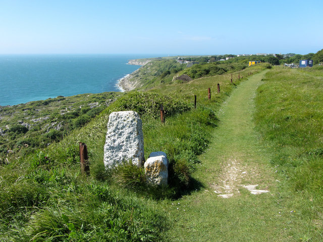
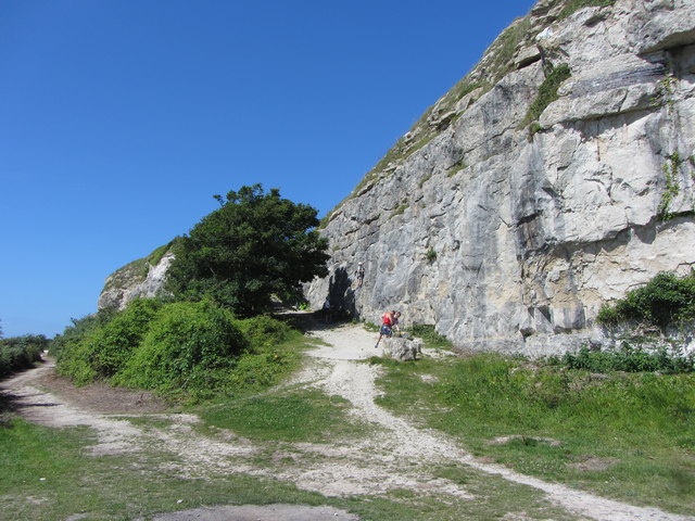
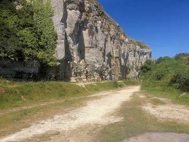
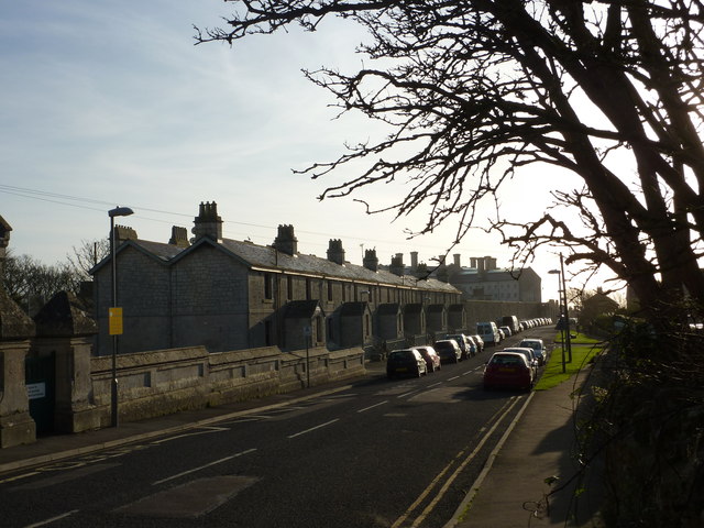
West Cliff

Cliff, Slope in Dorset

England

West Cliff

Viewpoint at East Weare, Isle of Portland A concrete bench and an information display at East Weare, overlooking Weymouth Bay.  Several cruise ships were moored in the bay, out of use due to the prevailing Covid-19 pandemic.
Viewpoint at East Weare, Isle of Portland Credit: Malc McDonald

The requested URL returned error: 429 Too Many Requests

If you have any feedback on the listing, please let us know in the comments section below.
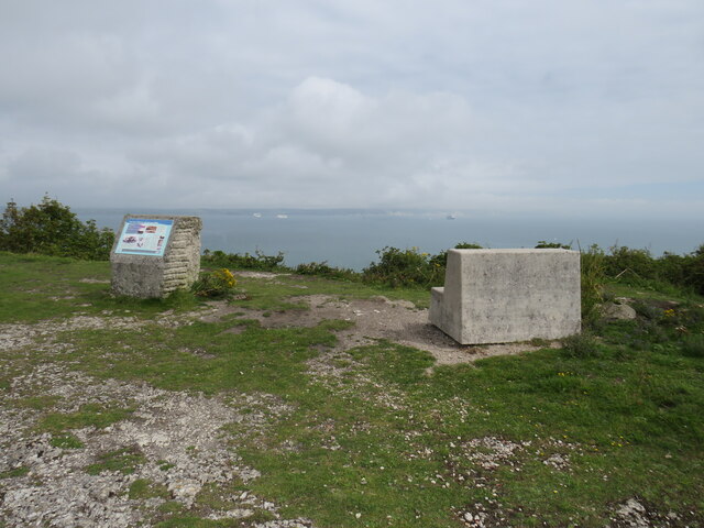
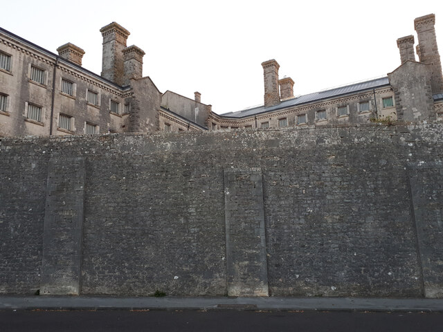
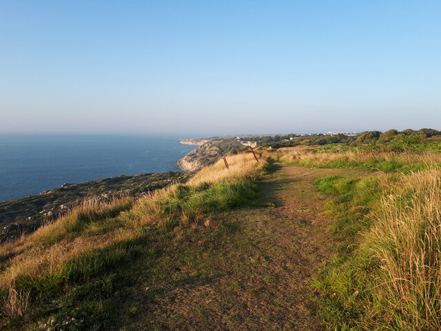
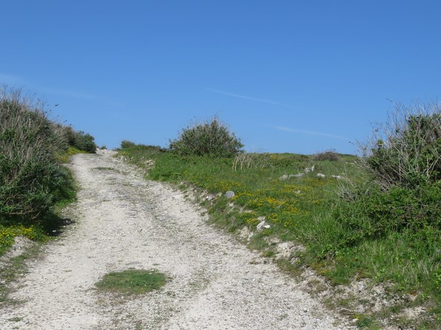
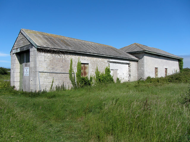
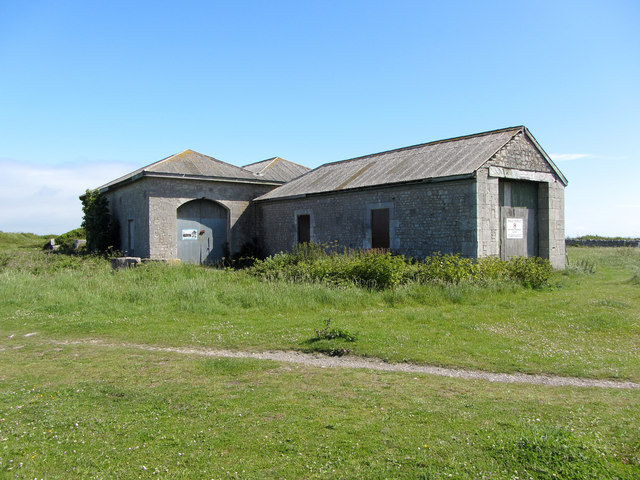
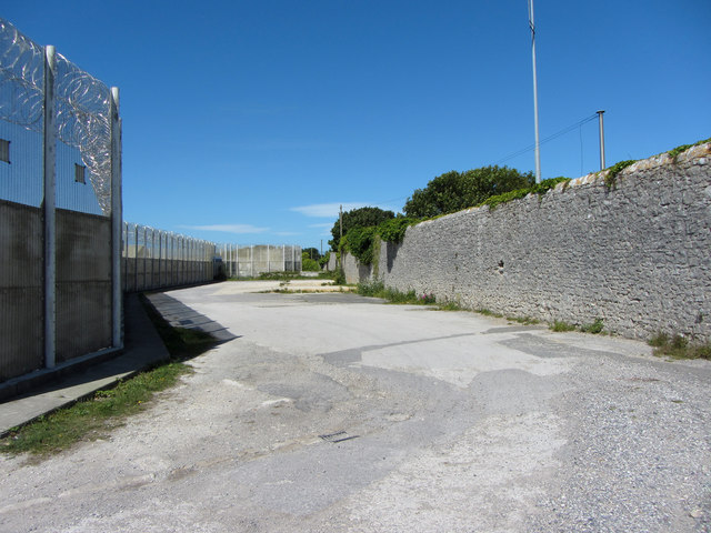
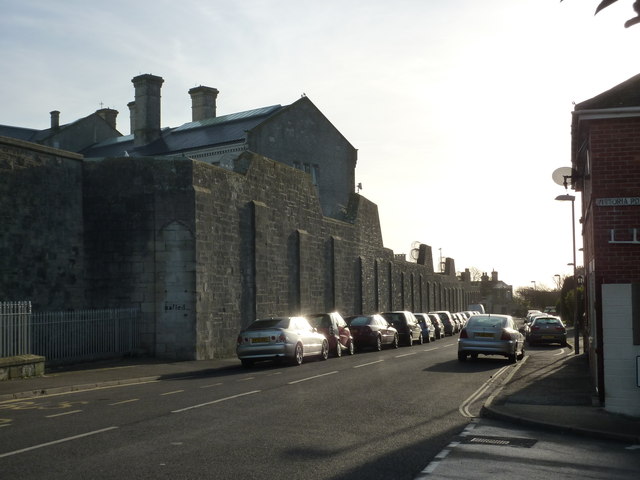
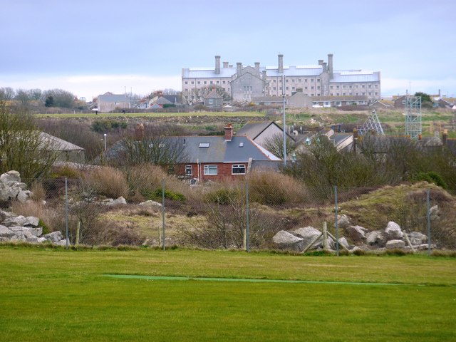
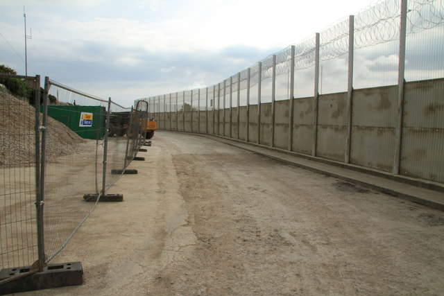
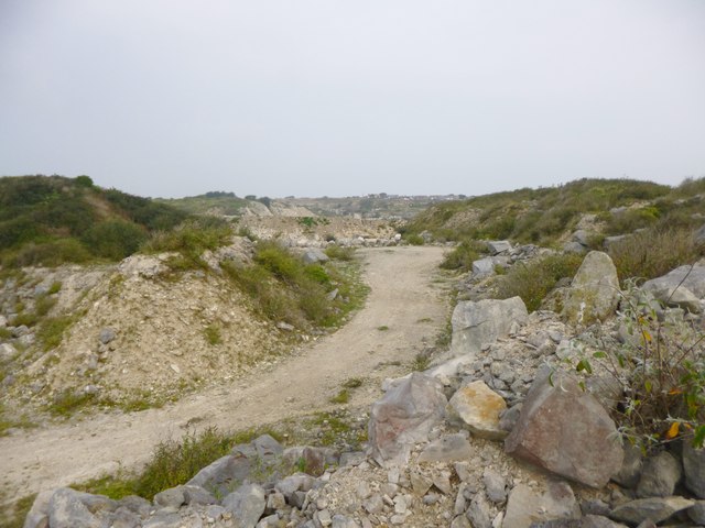
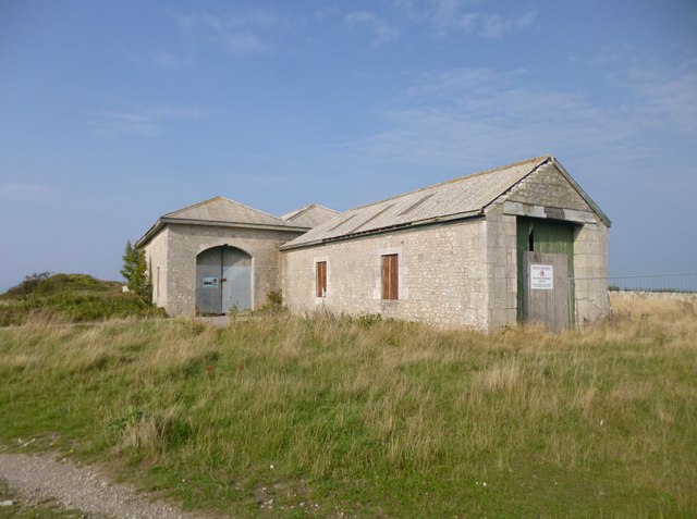
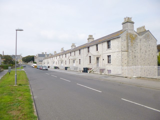
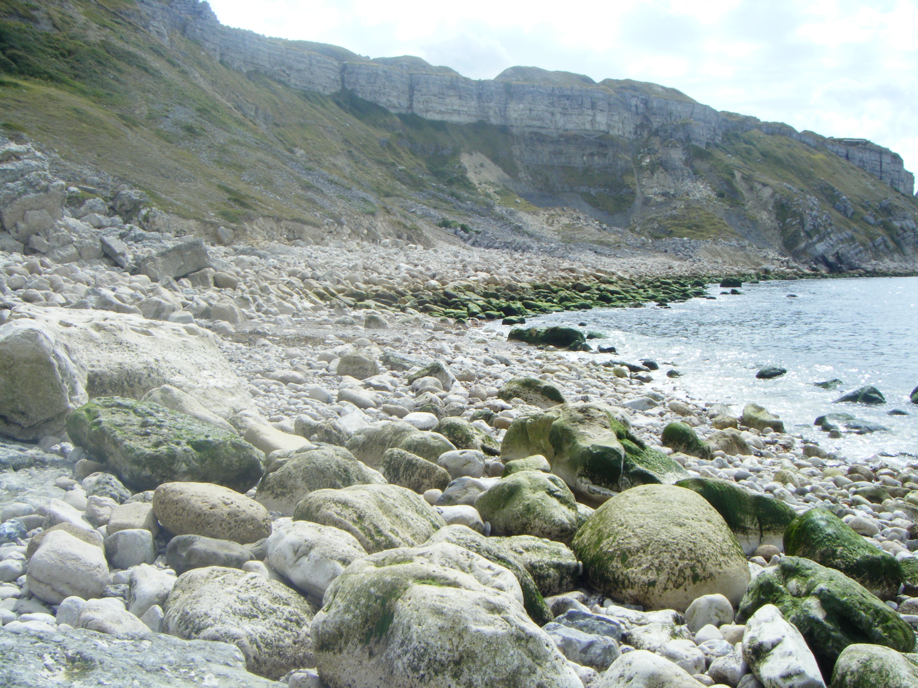
West Cliff Images

Images are sourced within 2km of 50.548563/-2.4507006 or Grid Reference SY6872. Thanks to Geograph Open Source API. All images are credited.

Viewpoint at East Weare, Isle of Portland A concrete bench and an information display at East Weare, overlooking Weymouth Bay.  Several cruise ships were moored in the bay, out of use due to the prevailing Covid-19 pandemic.
Viewpoint at East Weare, Isle of Portland
A concrete bench and an information display at East Weare, overlooking Weymouth Bay. Several cruise ships were moored in the bay, out of use due to the prevailing Covid-19 pandemic.
HM Prison Portland, Grove Victorian prison opened in 1848, now a male Adult/Young Offenders Institution. <span class="nowrap"><a title="https://en.wikipedia.org/wiki/HM_Prison_Portland" rel="nofollow ugc noopener" href="https://en.wikipedia.org/wiki/HM_Prison_Portland">Link</a><img style="margin-left:2px;" alt="External link" title="External link - shift click to open in new window" src="https://s1.geograph.org.uk/img/external.png" width="10" height="10"/></span>
HM Prison Portland, Grove
Victorian prison opened in 1848, now a male Adult/Young Offenders Institution. LinkExternal link
Southwest Coast Path above Grove Cliff
Shepherd's Dinner, Portland Part of the Portland Coastal Path - but where this section gets its name from, I do not know, but am intrigued!
Shepherd's Dinner, Portland
Part of the Portland Coastal Path - but where this section gets its name from, I do not know, but am intrigued!
View towards Portland Harbour over East Weare
Old engine shed, Portland A former shed of the Portland quarry railways.
Old engine shed, Portland
A former shed of the Portland quarry railways.
Old engine shed, Portland A former shed of the Portland quarry railways.
Old engine shed, Portland
A former shed of the Portland quarry railways.
Coast Path beside HM Portland Young Offender Institution
Coast path on Portland
Path junction on Portland
South West Coast Path, Grove Cliff The South West Coast Path is England's longest waymarked long-distance footpath and a National Trail. It stretches for 630 miles, running from Minehead, along the coasts of Devon and Cornwall, to Poole Harbour in Dorset.

Just over 13 miles of the trail is a circular route around the Isle of Portland from Ferrybridge where the Island links to the mainland. The Portland Loop is challenging in places with a mixture of paths, quarry tracks and quiet roads.
South West Coast Path, Grove Cliff
The South West Coast Path is England's longest waymarked long-distance footpath and a National Trail. It stretches for 630 miles, running from Minehead, along the coasts of Devon and Cornwall, to Poole Harbour in Dorset. Just over 13 miles of the trail is a circular route around the Isle of Portland from Ferrybridge where the Island links to the mainland. The Portland Loop is challenging in places with a mixture of paths, quarry tracks and quiet roads.
Grove Road, Portland A row of houses on Portland near to the Youth Offenders' Institute.
Grove Road, Portland
A row of houses on Portland near to the Youth Offenders' Institute.
Portland Youth Offenders' Institute Many HMPs are grim from the exterior and Portland YOI is no exception. The high stone walls are forbidding. Today the sun shines, but often it is very wet and windy here.
Portland Youth Offenders' Institute
Many HMPs are grim from the exterior and Portland YOI is no exception. The high stone walls are forbidding. Today the sun shines, but often it is very wet and windy here.
Portland Young Offenders' Institute This view of the Portland Young Offenders' Institute is taken from St George Portland across a recreation ground from Wide Street.
Portland Young Offenders' Institute
This view of the Portland Young Offenders' Institute is taken from St George Portland across a recreation ground from Wide Street.
Coast Path Not the most attractive section of the Portland Coast Path as it passes the Young Offender Institution.
Coast Path
Not the most attractive section of the Portland Coast Path as it passes the Young Offender Institution.
Easton, Yeolands Quarry There are plans to open a visitor attraction here: <span class="nowrap"><a title="http://www.viewfrompublishing.co.uk/news_view/27401/11/1/weymouth-plans-for-%C2%A385million-attraction" rel="nofollow ugc noopener" href="http://www.viewfrompublishing.co.uk/news_view/27401/11/1/weymouth-plans-for-%C2%A385million-attraction">Link</a><img style="margin-left:2px;" alt="External link" title="External link - shift click to open in new window" src="https://s1.geograph.org.uk/img/external.png" width="10" height="10"/></span>
Easton, Yeolands Quarry
There are plans to open a visitor attraction here: LinkExternal link
Grove, engine shed Once housing locomotives from the Easton & Church Hope Railway, moving stone from Admiralty Quarries to the breakwater.
Grove, engine shed
Once housing locomotives from the Easton & Church Hope Railway, moving stone from Admiralty Quarries to the breakwater.
Grove, Alma Terrace On Grove Road, former prison warders' cottages for HMP Portland. Note the stone porches, common on Portland. The cottages are English Heritage-listed, and mid-Victorian: <span class="nowrap"><a title="http://www.imagesofengland.org.uk/Details/Default.aspx?id=381959&mode=adv" rel="nofollow ugc noopener" href="http://www.imagesofengland.org.uk/Details/Default.aspx?id=381959&mode=adv">Link</a><img style="margin-left:2px;" alt="External link" title="External link - shift click to open in new window" src="https://s1.geograph.org.uk/img/external.png" width="10" height="10"/></span>
Grove, Alma Terrace
On Grove Road, former prison warders' cottages for HMP Portland. Note the stone porches, common on Portland. The cottages are English Heritage-listed, and mid-Victorian: LinkExternal link
Show me another place!

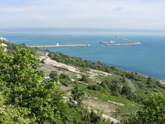
West Cliff is located at Grid Ref: SY6872 (Lat: 50.548563, Lng: -2.4507006)

Unitary Authority: Dorset

Police Authority: Dorset

What 3 Words

///clef.afford.apron. Near Fortuneswell, Dorset

Related Wikis

Hallelujah Bay

Hallelujah Bay is a bay located on the west side of the Isle of Portland, Dorset, England. The bay is situated below West Weares, with Clay Ope, Blacknor...

Clay Ope

Clay Ope is on the west side of the Isle of Portland in Dorset, England. It forms part of the Jurassic Coast. The geology of the area includes Purbeck...

Tar Rocks

Tar Rocks are coastal rocks on the west side of the Isle of Portland, Dorset, England. The rocks become mostly covered at high tide. == See also == List...

Bowers Quarry

Bowers Quarry/Mine is an active stone quarry on the west side of the Isle of Portland, Dorset, England. The quarry is operated by Albion Stone and became...

Nearby Amenities

Located within 500m of 50.548563,-2.4507006
Source: PGS
Lat/Long: 50.5526989/-2.4514108
Source: PGS
Lat/Long: 50.5524169/-2.451833
Source: PGS
Lat/Long: 50.5521021/-2.4522042
Source: PGS
Lat/Long: 50.5517584/-2.4524489
Source: PGS
Lat/Long: 50.5511731/-2.4525815
Source: PGS
Lat/Long: 50.5506152/-2.4522503
Source: PGS
Lat/Long: 50.5502154/-2.4518186
Source: PGS
Lat/Long: 50.5496782/-2.4516049
Source: PGS
Lat/Long: 50.5491393/-2.4519656
Source: PGS
Lat/Long: 50.548262/-2.4519754
Source: PGS
Lat/Long: 50.5469909/-2.4526686
Source: PGS
Lat/Long: 50.5466076/-2.4530162
Source: PGS
Lat/Long: 50.546258/-2.4535594
Source: PGS
Lat/Long: 50.5460963/-2.453696
Source: PGS
Lat/Long: 50.5456372/-2.4545162
Post Box
Collection Times: Mo-Fr 17:30; Sa 12:30
Description: Outside Delivery Office.
Post Box Design: type_k
Post Box Type: pillar
Ref: DT5 152
Lat/Long: 50.5504523/-2.4443802
Clay Ope
Place: locality
Wikidata: Q5129958
Wikipedia: en:Clay Ope
Lat/Long: 50.5476762/-2.4514053
Hallelujah Bay
Natural: bay
Wikidata: Q15222631
Wikipedia: en:Hallelujah Bay
Lat/Long: 50.5473511/-2.4523051
Barrier: yes
Fixme: location to be confirmed
Note: SWCP closed northwards 5/6/23
Lat/Long: 50.5448006/-2.4533437
Information: board
Tourism: information
Lat/Long: 50.5518141/-2.4475927
Fixme: stone in circle of other stones?
Tourism: artwork
Lat/Long: 50.551275/-2.4474326
Barrier: block
Lat/Long: 50.5478938/-2.4487389
Barrier: block
Lat/Long: 50.5456618/-2.4501416
Barrier: block
Lat/Long: 50.5478449/-2.4471049
Tourism: viewpoint
Lat/Long: 50.5515014/-2.4486084
Barrier: yes
Fixme: closure locatoin needs to be confirmed
Note: path closed northwards 5/6/23.
Lat/Long: 50.5516897/-2.4487945
Barrier: yes
Note: SWCP closed southwards 5/6/23.
Lat/Long: 50.5473337/-2.4501992
Parking
Lat/Long: 50.5504649/-2.4460401
The data included in this document is from www.openstreetmap.org. The data is made available under ODbL.

Have you been to West Cliff?

Leave your review of West Cliff below (or comments, questions and feedback).