Isle of Portland
Island in Dorset
England
Isle of Portland
The requested URL returned error: 429 Too Many Requests
If you have any feedback on the listing, please let us know in the comments section below.
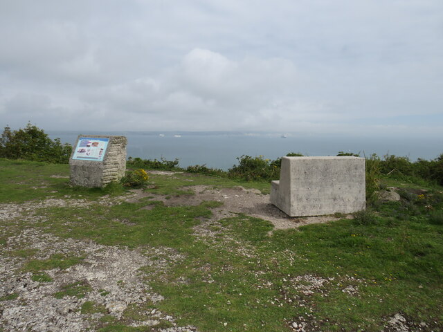
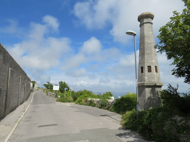
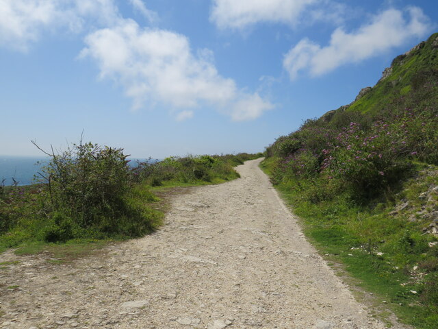
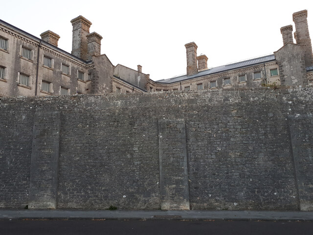
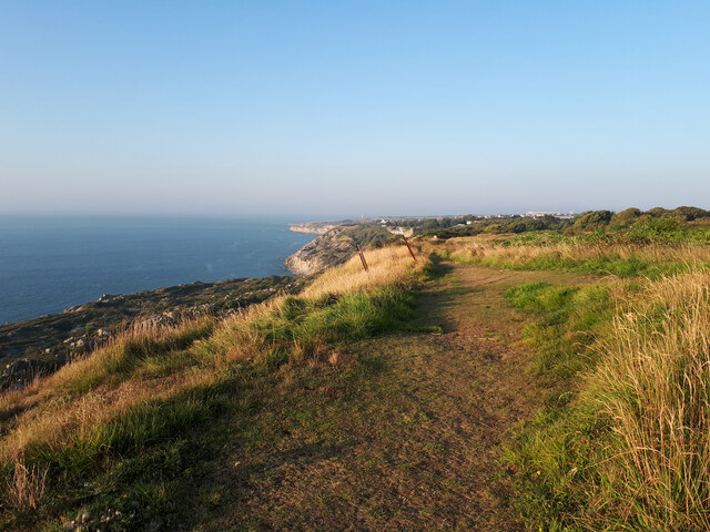
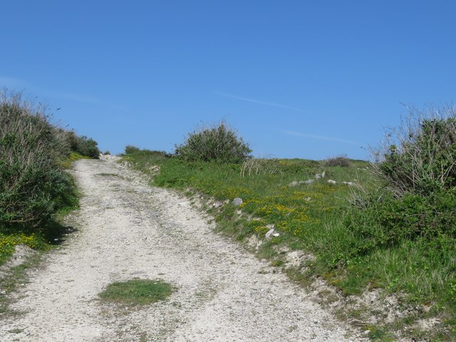
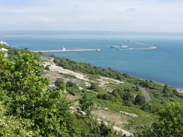
Isle of Portland Images
Images are sourced within 2km of 50.547267/-2.4393971 or Grid Reference SY6872. Thanks to Geograph Open Source API. All images are credited.


Isle of Portland is located at Grid Ref: SY6872 (Lat: 50.547267, Lng: -2.4393971)
Unitary Authority: Dorset
Police Authority: Dorset
What 3 Words
///reshaping.faded.irrigate. Near Fortuneswell, Dorset
Nearby Locations
Related Wikis
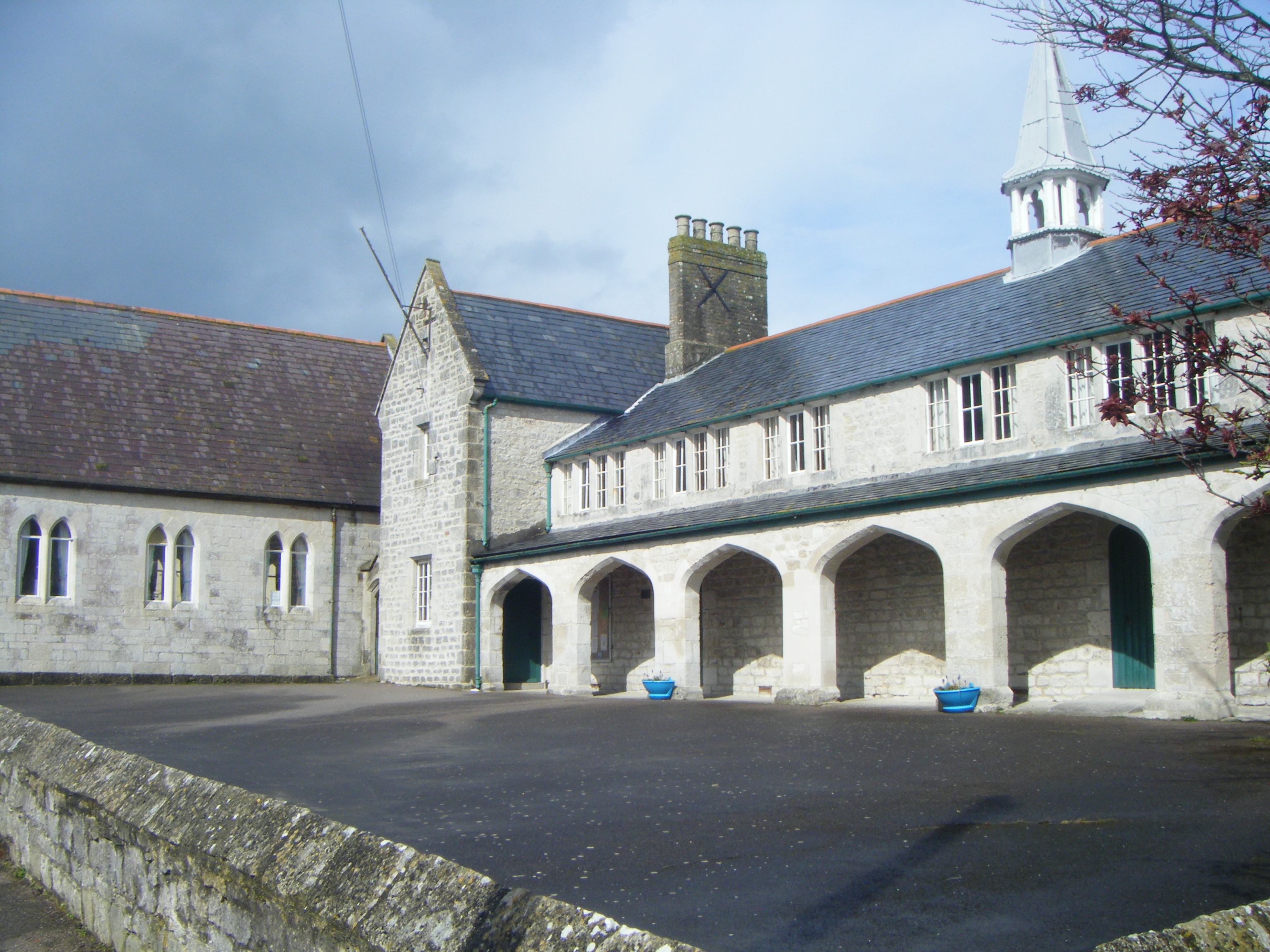
St George's Centre
St George's Centre is a former school, built in the 19th century, and now a community information and activity centre on the Isle of Portland, Dorset,...
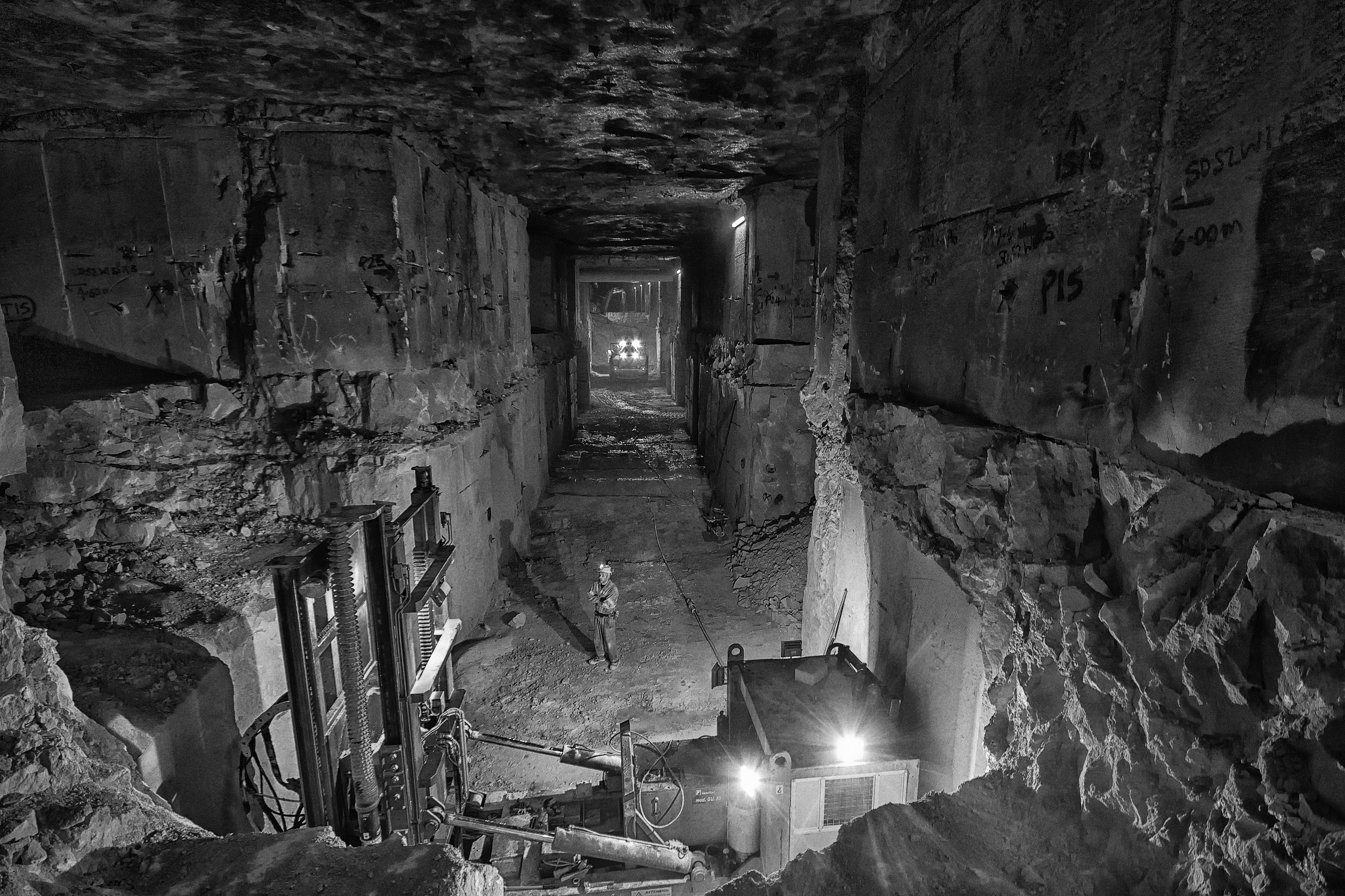
Jordans Mine
Jordans Mine is a Portland Stone mine on the Isle of Portland in Dorset, England. In 2016 it was the biggest mine for this stone, at some places 9 m (30...

The George Inn, Portland
The George Inn is a Grade II-listed 18th-century public house on the Isle of Portland, Dorset, England. It is situated within the village of Easton, at...
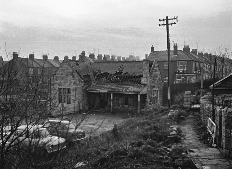
Easton railway station (England)
Easton railway station was the terminus of the Portland Branch Railway, which operated on the Isle of Portland in the south of the English county of Dorset...
Nearby Amenities
Located within 500m of 50.547267,-2.4393971Have you been to Isle of Portland?
Leave your review of Isle of Portland below (or comments, questions and feedback).