West Weare

Cliff, Slope in Dorset

England

West Weare

Viewpoint at East Weare, Isle of Portland A concrete bench and an information display at East Weare, overlooking Weymouth Bay.  Several cruise ships were moored in the bay, out of use due to the prevailing Covid-19 pandemic.
Viewpoint at East Weare, Isle of Portland Credit: Malc McDonald

West Weare is a charming coastal village located in Dorset, England. Situated on a cliff and slope, it offers breathtaking views of the surrounding natural beauty. The village is renowned for its picturesque landscapes, making it a popular destination for nature lovers and outdoor enthusiasts.

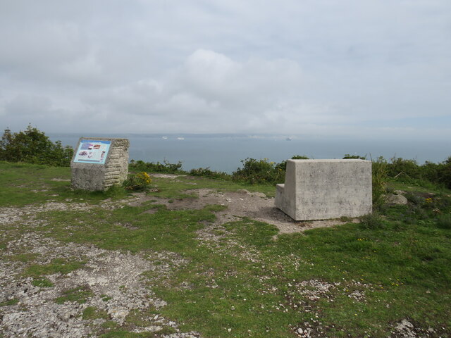
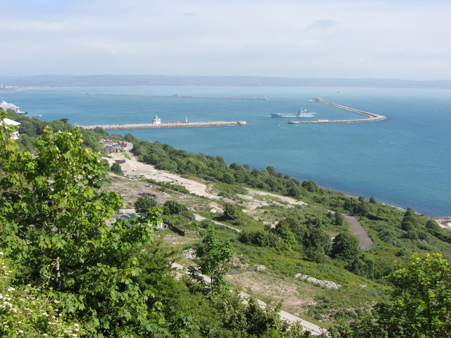
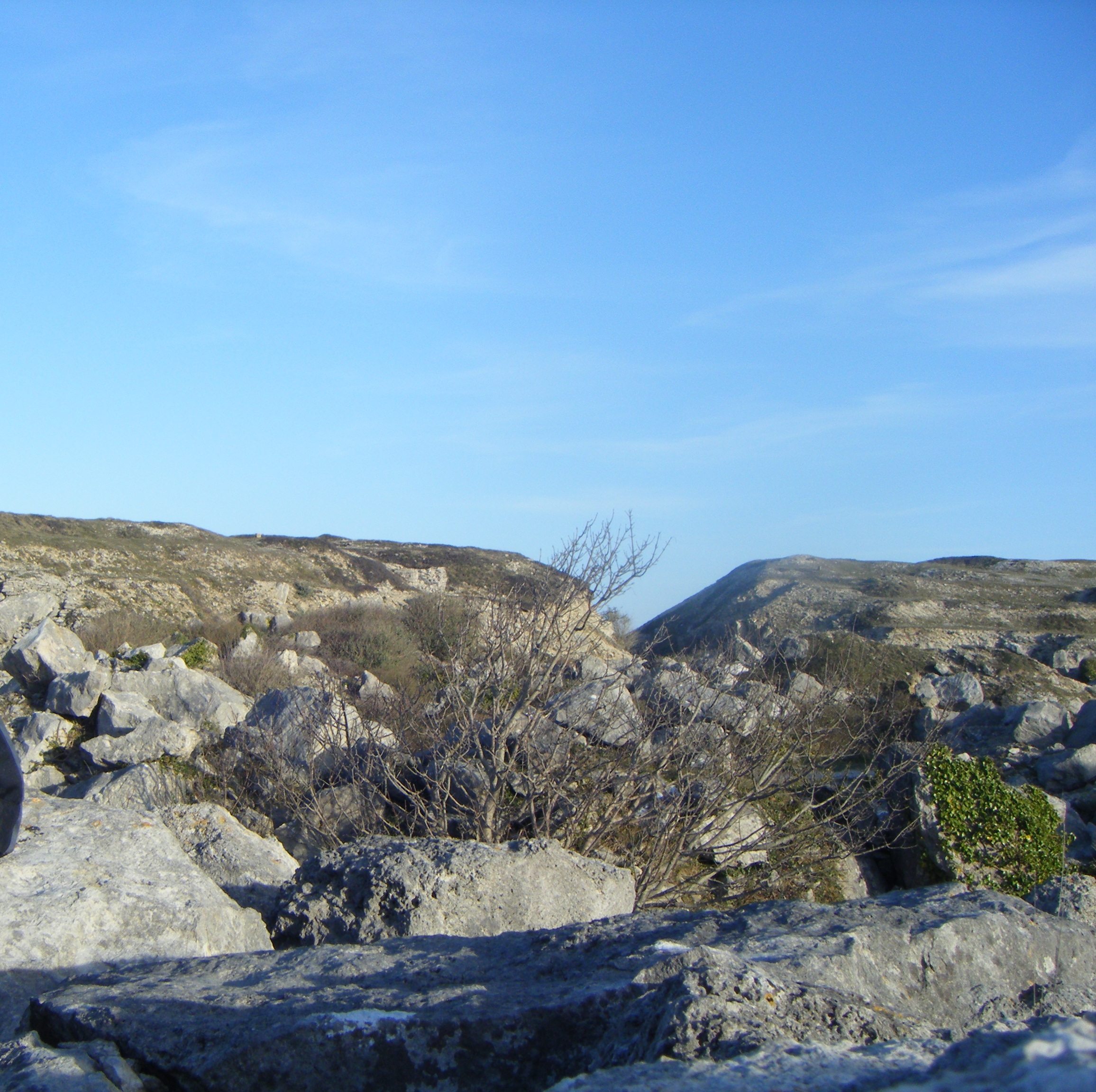
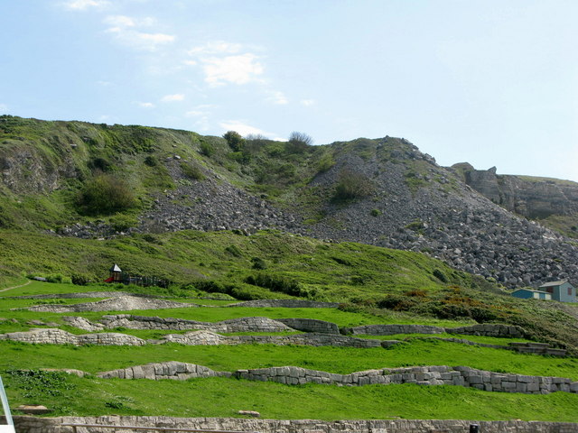
The cliff in West Weare is a prominent feature, rising majestically above the coastline. Its rugged and dramatic appearance adds to the village's allure, attracting visitors from far and wide. The cliff is made up of various geological formations, showcasing layers of sedimentary rock that tell a story of the area's rich history.

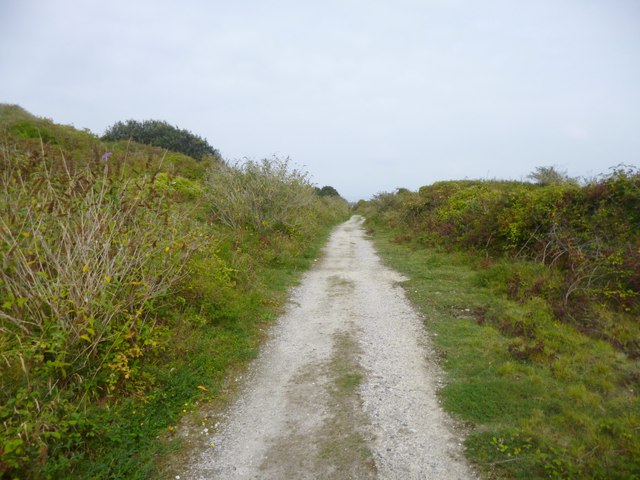
Adjacent to the cliff is a sloping terrain that gently descends towards the sea. The slope is covered in lush greenery, with an array of vibrant wildflowers dotting the landscape. Walking along the slope provides a peaceful and tranquil experience, as visitors can enjoy the serene atmosphere and take in the stunning views of the coastline.

West Weare is particularly known for its coastal walks, offering visitors the opportunity to explore the cliff and slope up close. The village boasts well-maintained footpaths that cater to all levels of fitness, making it accessible for both casual strollers and avid hikers. These walks not only provide an opportunity to immerse oneself in nature but also offer a chance to spot various species of birds and wildlife that call the area home.

Overall, West Weare, with its cliff and slope, is a captivating destination that showcases the beauty of Dorset's coastline. Its natural landscapes and scenic views make it an ideal place for relaxation, exploration, and appreciation of the great outdoors.

If you have any feedback on the listing, please let us know in the comments section below.
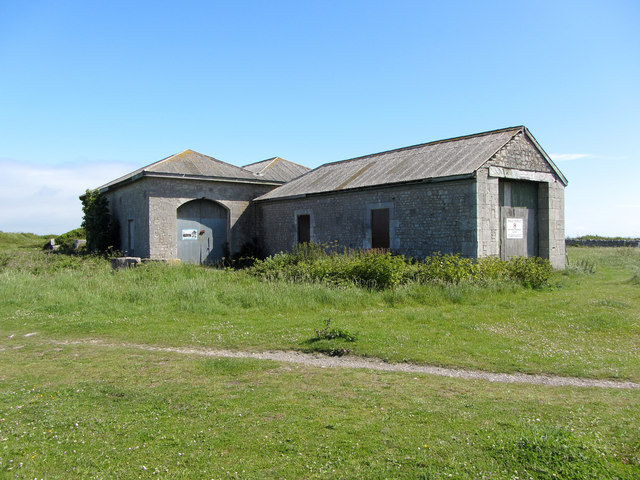
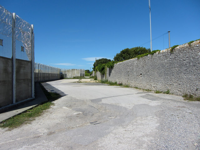
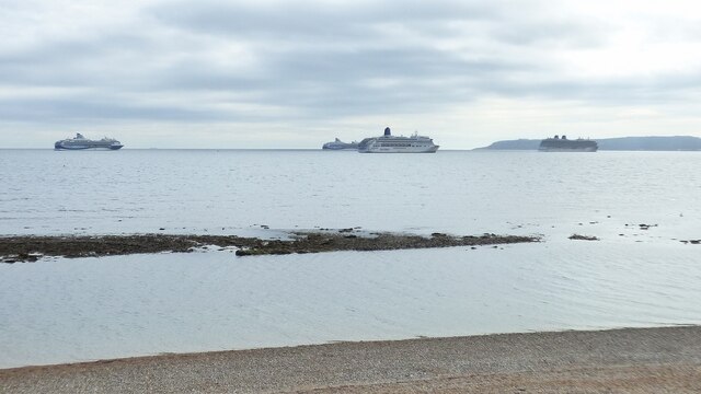
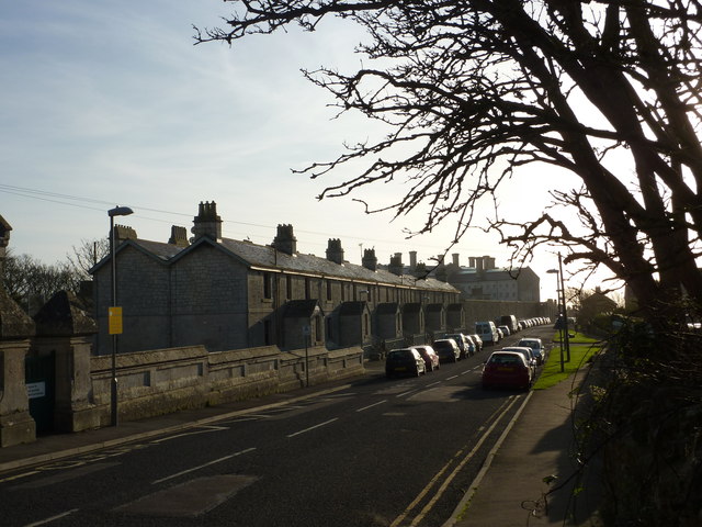
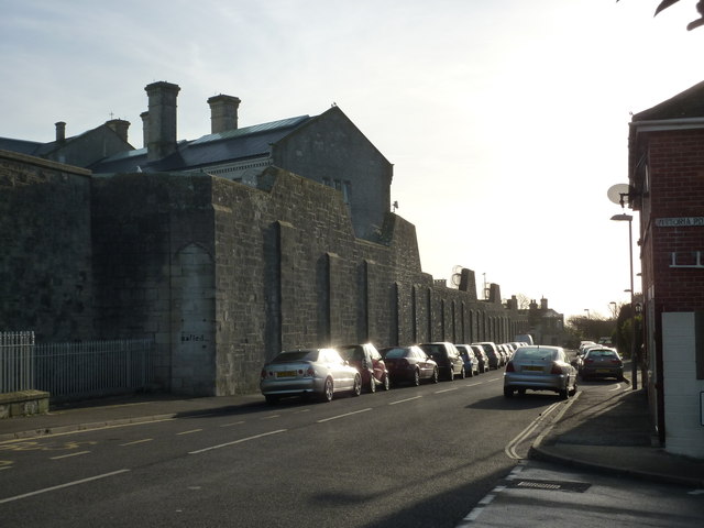
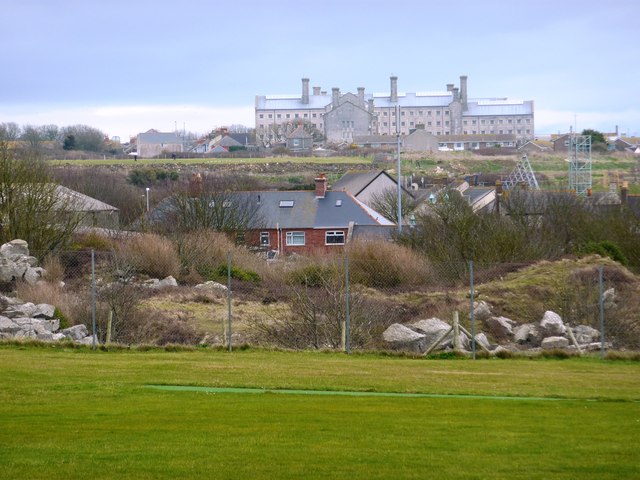
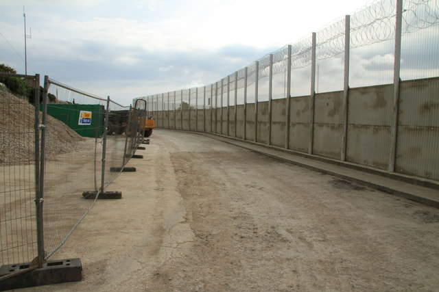
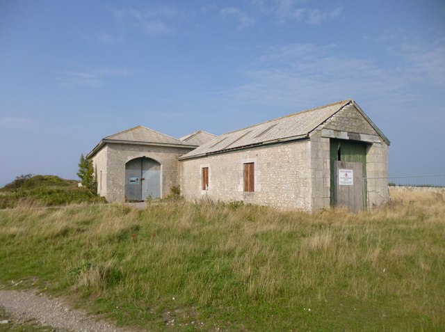
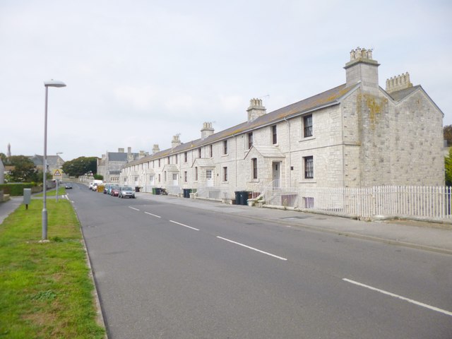
West Weare Images

Images are sourced within 2km of 50.553684/-2.4497614 or Grid Reference SY6872. Thanks to Geograph Open Source API. All images are credited.

Viewpoint at East Weare, Isle of Portland A concrete bench and an information display at East Weare, overlooking Weymouth Bay.  Several cruise ships were moored in the bay, out of use due to the prevailing Covid-19 pandemic.
Viewpoint at East Weare, Isle of Portland
A concrete bench and an information display at East Weare, overlooking Weymouth Bay. Several cruise ships were moored in the bay, out of use due to the prevailing Covid-19 pandemic.
HM Prison Portland, Grove Victorian prison opened in 1848, now a male Adult/Young Offenders Institution. <span class="nowrap"><a title="https://en.wikipedia.org/wiki/HM_Prison_Portland" rel="nofollow ugc noopener" href="https://en.wikipedia.org/wiki/HM_Prison_Portland">Link</a><img style="margin-left:2px;" alt="External link" title="External link - shift click to open in new window" src="https://s1.geograph.org.uk/img/external.png" width="10" height="10"/></span>
HM Prison Portland, Grove
Victorian prison opened in 1848, now a male Adult/Young Offenders Institution. LinkExternal link
View towards Portland Harbour over East Weare
Old engine shed, Portland A former shed of the Portland quarry railways.
Old engine shed, Portland
A former shed of the Portland quarry railways.
Old engine shed, Portland A former shed of the Portland quarry railways.
Old engine shed, Portland
A former shed of the Portland quarry railways.
Coast Path beside HM Portland Young Offender Institution
Cruise ships anchored outside Weymouth Harbour
Grove Road, Portland A row of houses on Portland near to the Youth Offenders' Institute.
Grove Road, Portland
A row of houses on Portland near to the Youth Offenders' Institute.
Portland Youth Offenders' Institute Many HMPs are grim from the exterior and Portland YOI is no exception. The high stone walls are forbidding. Today the sun shines, but often it is very wet and windy here.
Portland Youth Offenders' Institute
Many HMPs are grim from the exterior and Portland YOI is no exception. The high stone walls are forbidding. Today the sun shines, but often it is very wet and windy here.
Portland Young Offenders' Institute This view of the Portland Young Offenders' Institute is taken from St George Portland across a recreation ground from Wide Street.
Portland Young Offenders' Institute
This view of the Portland Young Offenders' Institute is taken from St George Portland across a recreation ground from Wide Street.
Coast Path Not the most attractive section of the Portland Coast Path as it passes the Young Offender Institution.
Coast Path
Not the most attractive section of the Portland Coast Path as it passes the Young Offender Institution.
Grove, engine shed Once housing locomotives from the Easton & Church Hope Railway, moving stone from Admiralty Quarries to the breakwater.
Grove, engine shed
Once housing locomotives from the Easton & Church Hope Railway, moving stone from Admiralty Quarries to the breakwater.
Grove, security fence Topped by barbed wire, around HMYOI Portland: <span class="nowrap"><a title="http://www.justice.gov.uk/contacts/prison-finder/portland" rel="nofollow ugc noopener" href="http://www.justice.gov.uk/contacts/prison-finder/portland">Link</a><img style="margin-left:2px;" alt="External link" title="External link - shift click to open in new window" src="https://s1.geograph.org.uk/img/external.png" width="10" height="10"/></span>
Grove, security fence
Topped by barbed wire, around HMYOI Portland: LinkExternal link
Grove, Alma Terrace On Grove Road, former prison warders' cottages for HMP Portland. Note the stone porches, common on Portland. The cottages are English Heritage-listed, and mid-Victorian: <span class="nowrap"><a title="http://www.imagesofengland.org.uk/Details/Default.aspx?id=381959&mode=adv" rel="nofollow ugc noopener" href="http://www.imagesofengland.org.uk/Details/Default.aspx?id=381959&mode=adv">Link</a><img style="margin-left:2px;" alt="External link" title="External link - shift click to open in new window" src="https://s1.geograph.org.uk/img/external.png" width="10" height="10"/></span>
Grove, Alma Terrace
On Grove Road, former prison warders' cottages for HMP Portland. Note the stone porches, common on Portland. The cottages are English Heritage-listed, and mid-Victorian: LinkExternal link
Grove, railway trackbed Once Easton & Church Hope Railway, now a footpath to King's Pier. <span class="nowrap"><a title="http://en.wikipedia.org/wiki/Portland_Branch_Railway" rel="nofollow ugc noopener" href="http://en.wikipedia.org/wiki/Portland_Branch_Railway">Link</a><img style="margin-left:2px;" alt="External link" title="External link - shift click to open in new window" src="https://s1.geograph.org.uk/img/external.png" width="10" height="10"/></span>
Grove, railway trackbed
Once Easton & Church Hope Railway, now a footpath to King's Pier. LinkExternal link
Young Offender Institution Formerly known as the Convict Prison. Below can be seen the route of an old railway. This once climbed from near sea level at the north end of the island along the east coast before circling up into the centre near Easton.
Young Offender Institution
Formerly known as the Convict Prison. Below can be seen the route of an old railway. This once climbed from near sea level at the north end of the island along the east coast before circling up into the centre near Easton.
Young Offender Institution, Portland
Kings Pier, Portland Kings Pier is now not much of a pier, a breakwater sticks out into Weymouth bay with a fence on it to keep people out of the naval base. This is the view west from the breakwater up towards the cliffs, on top of which is the Verne Prison
Kings Pier, Portland
Kings Pier is now not much of a pier, a breakwater sticks out into Weymouth bay with a fence on it to keep people out of the naval base. This is the view west from the breakwater up towards the cliffs, on top of which is the Verne Prison
Show me another place!

West Weare is located at Grid Ref: SY6872 (Lat: 50.553684, Lng: -2.4497614)

Unitary Authority: Dorset

Police Authority: Dorset

What 3 Words

///beast.unicorns.crafts. Near Fortuneswell, Dorset

Related Wikis

Tout Quarry

Tout Quarry, now known as Tout Quarry Sculpture Park and Nature Reserve, is a sculpture park and nature reserve based within a disused quarry on the Isle...

Tar Rocks

Tar Rocks are coastal rocks on the west side of the Isle of Portland, Dorset, England. The rocks become mostly covered at high tide. == See also == List...

Chiswell Earthworks

Chiswell Earthworks is a land sculpture, located on the Isle of Portland, Dorset, England. It is found above Chesil Beach's most southerly part Chesil...

South Coast Steam

South Coast Steam Ltd is a United Kingdom based steam locomotive operating company, based on the Isle of Portland, Dorset. Owned by Barry Gambles and incorporated...

Nearby Amenities

Located within 500m of 50.553684,-2.4497614
Source: PGS
Lat/Long: 50.5578862/-2.4481242
Source: PGS
Lat/Long: 50.5570972/-2.4482274
Source: PGS
Lat/Long: 50.5567463/-2.4486928
Source: PGS
Lat/Long: 50.5562022/-2.4492879
Source: PGS
Lat/Long: 50.5559931/-2.4496487
Source: PGS
Lat/Long: 50.5557766/-2.449721
Source: PGS
Lat/Long: 50.555712/-2.4499097
Source: PGS
Lat/Long: 50.5547878/-2.4502727
Source: PGS
Lat/Long: 50.5538529/-2.4508691
Source: PGS
Lat/Long: 50.5536906/-2.4508748
Source: PGS
Lat/Long: 50.5532237/-2.4512314
Source: PGS
Lat/Long: 50.5526989/-2.4514108
Source: PGS
Lat/Long: 50.5524169/-2.451833
Source: PGS
Lat/Long: 50.5521021/-2.4522042
Source: PGS
Lat/Long: 50.5517584/-2.4524489
Source: PGS
Lat/Long: 50.5511731/-2.4525815
Source: PGS
Lat/Long: 50.5506152/-2.4522503
Source: PGS
Lat/Long: 50.5502154/-2.4518186
Source: PGS
Lat/Long: 50.5496782/-2.4516049
Source: PGS
Lat/Long: 50.5549945/-2.4496524
Portland, Home of Portland Stone
Historic: memorial
Man Made: crane
Memorial: sculpture
Lat/Long: 50.5550677/-2.4443756
Information: board
Tourism: information
Lat/Long: 50.5518141/-2.4475927
Fixme: stone in circle of other stones?
Tourism: artwork
Lat/Long: 50.551275/-2.4474326
Description: Two wells
Tourism: attraction
Wheelchair: no
Lat/Long: 50.5532187/-2.4471751
Natural: rock
Lat/Long: 50.5541176/-2.4449502
Natural: rock
Lat/Long: 50.5542089/-2.4449621
Natural: rock
Lat/Long: 50.5542925/-2.4449731
Natural: rock
Tourism: attraction
Lat/Long: 50.5543784/-2.4449843
Natural: rock
Lat/Long: 50.5544636/-2.4449955
Natural: rock
Lat/Long: 50.5545454/-2.4450062
Natural: rock
Lat/Long: 50.5546297/-2.4450172
Barrier: yes
Note: path closed southwards 5/6/23
Website: https://portlandtowncouncil.gov.uk/news-events/community-news/temporary-closure-footpath-no-6-portland
Lat/Long: 50.5547225/-2.4452775
Fixme: continue
Lat/Long: 50.5524934/-2.4446984
Fixme: continue
Lat/Long: 50.5530159/-2.4439725
Tourism: viewpoint
Lat/Long: 50.5515014/-2.4486084
Barrier: yes
Fixme: closure locatoin needs to be confirmed
Note: path closed northwards 5/6/23.
Lat/Long: 50.5516897/-2.4487945
Parking
Lat/Long: 50.5504649/-2.4460401
The data included in this document is from www.openstreetmap.org. The data is made available under ODbL.

Have you been to West Weare?

Leave your review of West Weare below (or comments, questions and feedback).