Craig Ddu

Cliff, Slope in Cardiganshire

Wales

Craig Ddu

Closed Road Only walkers can pass.
Closed Road Credit: Sandy Gerrard

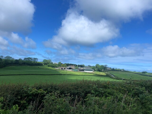
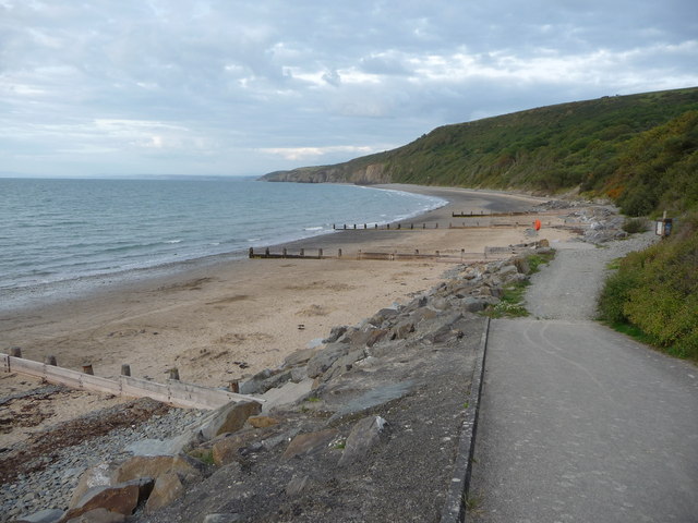
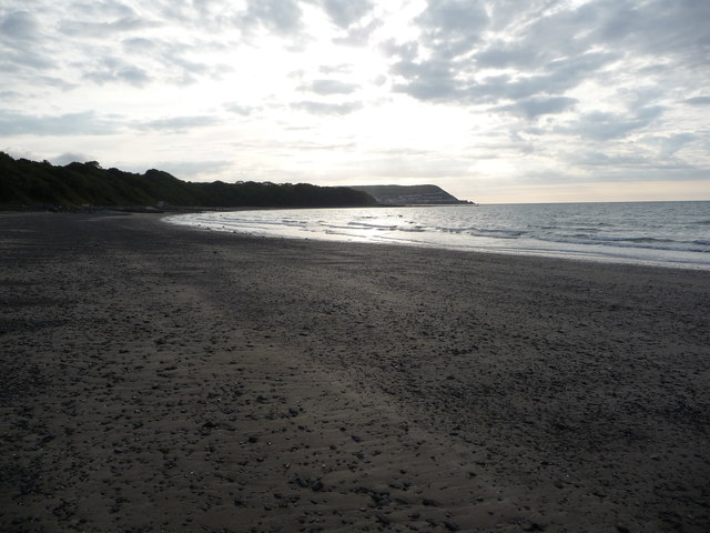
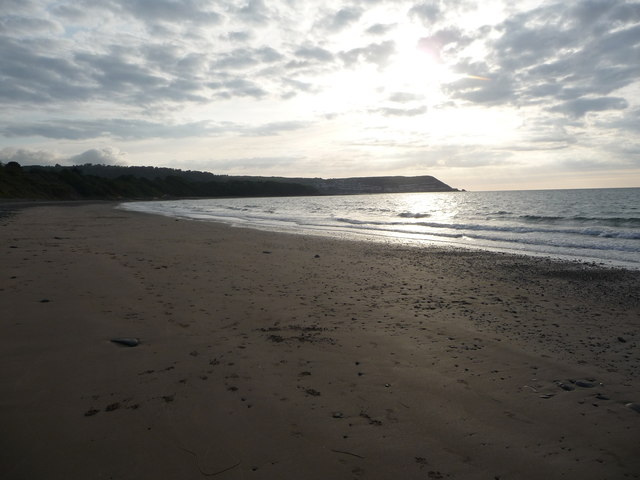
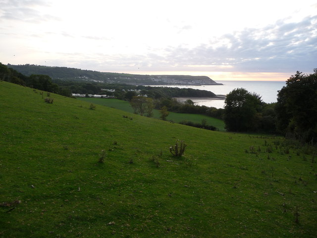
Craig Ddu, located in Cardiganshire, Wales, is a prominent cliff or slope that holds historical and geographical significance. Rising majestically from the surrounding landscape, this natural formation stands as a testament to the forces of erosion and time.

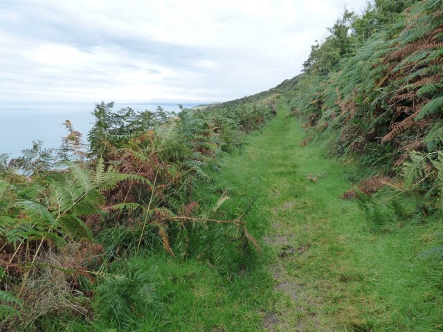
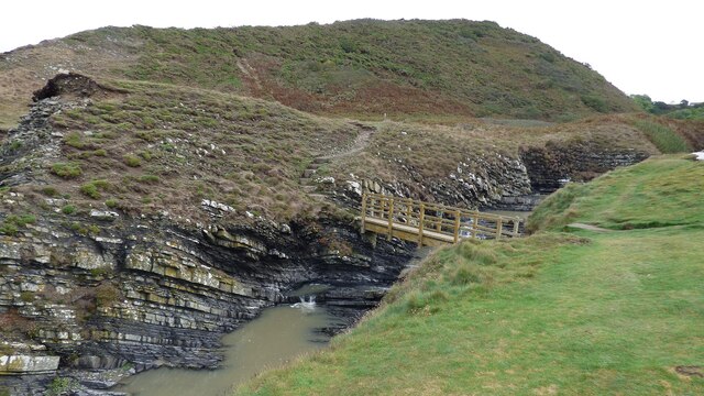
With its name translating to "Black Rock," Craig Ddu is aptly named due to the dark, somber hue of the rock face. Composed mainly of sedimentary rock, it is believed to have been formed millions of years ago during the geological processes that shaped the region. The cliff is known for its sheer height and rugged appearance, attracting both geologists and nature enthusiasts alike.

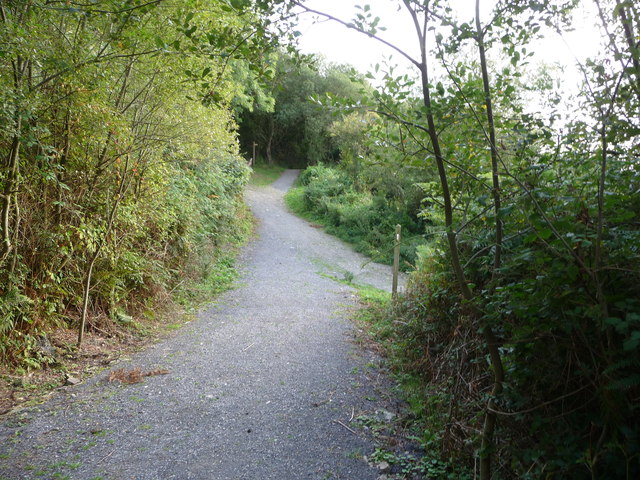
Situated within a lush and verdant landscape, Craig Ddu offers breathtaking panoramic views of the surrounding countryside, making it a popular destination for hikers and photographers. The cliff's strategic location provides a vantage point to observe the diverse flora and fauna that thrive in this protected area.

Furthermore, Craig Ddu holds historical significance, as it is said to have played a role in ancient Welsh folklore and legends. Tales of battles and mythical creatures are linked to this imposing landmark, adding to its allure and mystique.

In recent years, efforts have been made to preserve and protect Craig Ddu, recognizing its ecological and cultural value. Various initiatives aim to maintain the cliff's natural beauty while promoting sustainable tourism in the area.

Overall, Craig Ddu stands as an impressive geological feature, a symbol of Wales' rich history and a testament to the enduring power of nature.

If you have any feedback on the listing, please let us know in the comments section below.
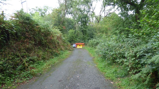
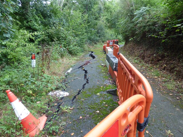
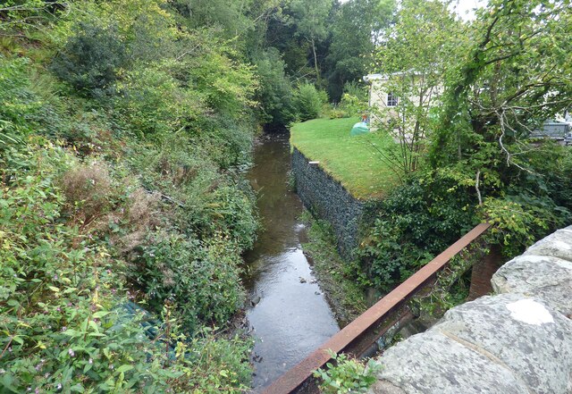
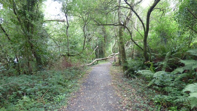
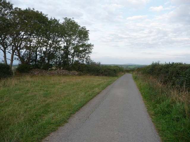
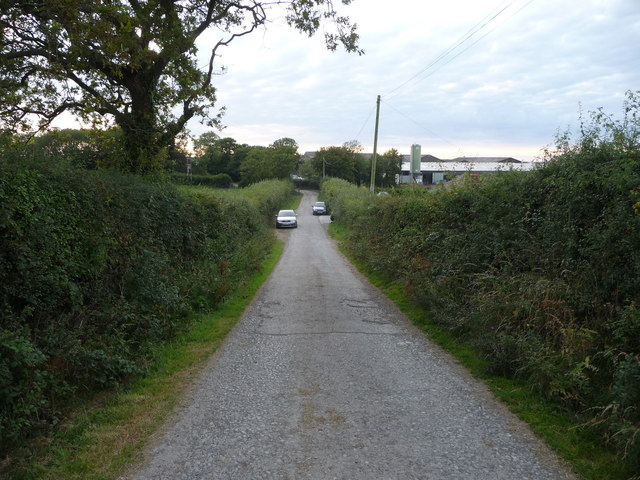
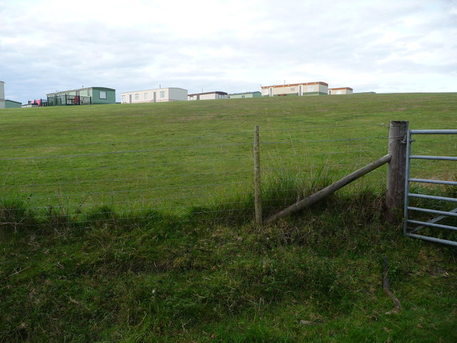
Craig Ddu Images

Images are sourced within 2km of 52.217873/-4.313443 or Grid Reference SN4260. Thanks to Geograph Open Source API. All images are credited.

Closed Road Only walkers can pass.
Closed Road
Only walkers can pass.
Road Subsidence This road appears to be sliding down the hill.
Road Subsidence
This road appears to be sliding down the hill.
Afon Llethi at Gilfachreda
Ceredigion Coast Path A tree fallen across the path at this point.
Ceredigion Coast Path
A tree fallen across the path at this point.
Sun shining on Castell-y-Geifr farm
B4342 near Cefn Garsi
Ceredigion Coast Path The path leads through dense bracken along this length.
Ceredigion Coast Path
The path leads through dense bracken along this length.
Footbridge across the Afon Drywi
Part of Little Quay Bay and Cei-bach beach Looking north up the coast of Cardigan Bay over this isolated and quiet beach with its storm defences to prevent erosion of the sands and foreshore.
Part of Little Quay Bay and Cei-bach beach
Looking north up the coast of Cardigan Bay over this isolated and quiet beach with its storm defences to prevent erosion of the sands and foreshore.
On Cei-bach Beach Looking westwards towards the headland and the New Quay headland beyond.
On Cei-bach Beach
Looking westwards towards the headland and the New Quay headland beyond.
On Cei-bach beach, looking westwards An August evening beside the sea, who would want to be anywhere else?
On Cei-bach beach, looking westwards
An August evening beside the sea, who would want to be anywhere else?
Junction of paths above the Ceredigion coast Paths contour along the steep hillside above Little Quay Bay and some run down to the beach and up to the fields above.
Junction of paths above the Ceredigion coast
Paths contour along the steep hillside above Little Quay Bay and some run down to the beach and up to the fields above.
Lane with a hardcore store beside it Rubble, pebbles, stone and building or demolition rubble is piled here, available for filling potholes in the nearby farms.
Lane with a hardcore store beside it
Rubble, pebbles, stone and building or demolition rubble is piled here, available for filling potholes in the nearby farms.
Lane approaching Penlanymor farm and caravan park The lane runs down to the farm on the corner.
Lane approaching Penlanymor farm and caravan park
The lane runs down to the farm on the corner.
Part of Penlanymor Caravan Park These static caravans look out over Little Quay Bay towards New Quay.
Part of Penlanymor Caravan Park
These static caravans look out over Little Quay Bay towards New Quay.
View over Cei-bach to New Quay Walking above the coastline on an August evening with a westering sun and fading light makes a nice end to the day.
View over Cei-bach to New Quay
Walking above the coastline on an August evening with a westering sun and fading light makes a nice end to the day.
Sign in Llanina St. Ina's Church to the left, horses and riders to the right. Llanina Point (beach) is all stones and rocks, not suitable for horses.
Sign in Llanina
St. Ina's Church to the left, horses and riders to the right. Llanina Point (beach) is all stones and rocks, not suitable for horses.
Llanina map "You are here" map of paths and roads between New quay  and Llanina.
Llanina map
"You are here" map of paths and roads between New quay and Llanina.
Show me another place!

Craig Ddu is located at Grid Ref: SN4260 (Lat: 52.217873, Lng: -4.313443)

Unitary Authority: Ceredigion

Police Authority: Dyfed Powys

What 3 Words

///drum.brew.symphonic. Near Llanarth, Ceredigion

Related Wikis

Llaingarreglwyd

Llaingarreglwyd is a hamlet in the community of Llanarth, Ceredigion, Wales, which is 70 miles (112.6 km) from Cardiff and 185.3 miles (298.1 km) from...

Gilfachrheda

Gilfachrheda or Gilfachreda is a village in the community of Llanarth, Ceredigion, Wales, at the confluence of two small rivers, the Afon Gido and the...

Pont y Gilfach

Pont-y-Gilfach (or Pont y Gilfach) is a small village in the community of Henfynyw, Ceredigion, Wales, which is 70.1 miles (112.8 km) from Cardiff and...

Llwyncelyn, Ceredigion

Lwyncelyn is a village in Ceredigion, Wales, situated on the A487 trunk road approximately 2.7 mi (4.3 km) southwest of the town of Aberaeron and 2 mi...

Nearby Amenities

Located within 500m of 52.217873,-4.313443
Created By: dmgroom_coastlines
Source: PGS
Lat/Long: 52.2207068/-4.3082611
Source: PGS
Lat/Long: 52.2206322/-4.3085534
Source: PGS
Lat/Long: 52.2198019/-4.3102214
Source: PGS
Lat/Long: 52.2196626/-4.3104485
Source: PGS
Lat/Long: 52.2190846/-4.311775
Source: PGS
Lat/Long: 52.2184185/-4.3133376
Source: PGS
Lat/Long: 52.2178679/-4.314346
Source: PGS
Lat/Long: 52.2178463/-4.3144774
Source: PGS
Lat/Long: 52.2174857/-4.3154108
Source: PGS
Lat/Long: 52.216858/-4.3166807
Source: PGS
Lat/Long: 52.2166498/-4.3170856
Source: PGS
Lat/Long: 52.2165138/-4.3174486
Source: PGS
Lat/Long: 52.2161524/-4.3183609
Source: PGS
Lat/Long: 52.2158772/-4.3190737
Source: PGS
Lat/Long: 52.2156164/-4.3197184
The data included in this document is from www.openstreetmap.org. The data is made available under ODbL.

Have you been to Craig Ddu?

Leave your review of Craig Ddu below (or comments, questions and feedback).