Allt Oernant
Wood, Forest in Cardiganshire
Wales
Allt Oernant

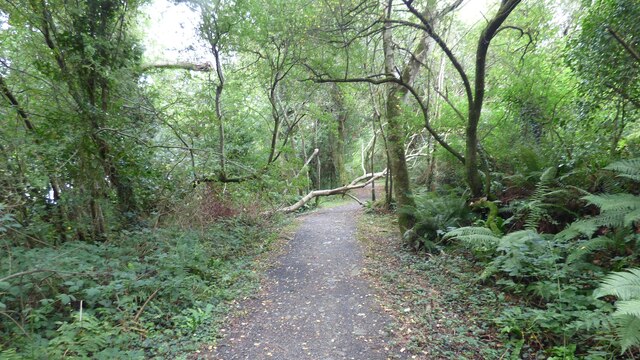
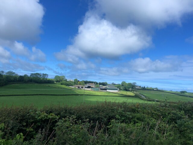
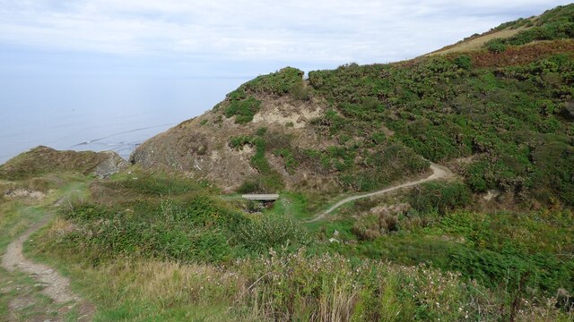
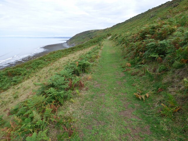
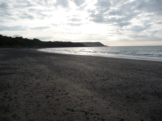
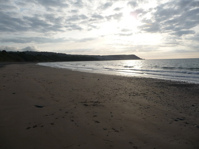
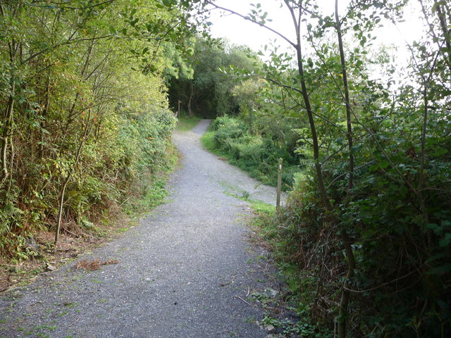
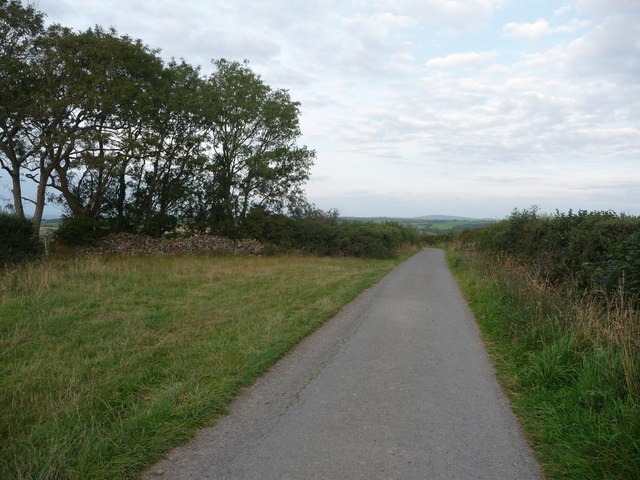
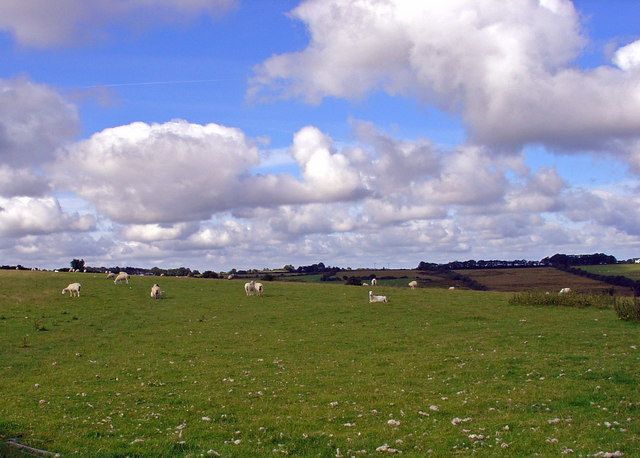
Allt Oernant is a stunning woodland area located in Cardiganshire, Wales. Covering an approximate area of 100 hectares, it is a haven for nature lovers and outdoor enthusiasts. The woodland is situated on the southern slopes of the Cambrian Mountains, offering breathtaking views and a diverse range of flora and fauna.
The forest is predominantly composed of native broadleaf trees such as oak, ash, and beech, creating a rich and vibrant ecosystem. The tall, mature trees provide a dense canopy, allowing limited sunlight to penetrate the forest floor, resulting in a lush undergrowth of ferns, mosses, and wildflowers.
The area is known for its abundant wildlife, with various species of birds, mammals, and insects calling Allt Oernant their home. Birdwatchers can spot a variety of species, including woodpeckers, owls, and warblers. The forest is also teeming with mammals such as badgers, foxes, and deer, making it a popular destination for wildlife enthusiasts and photographers.
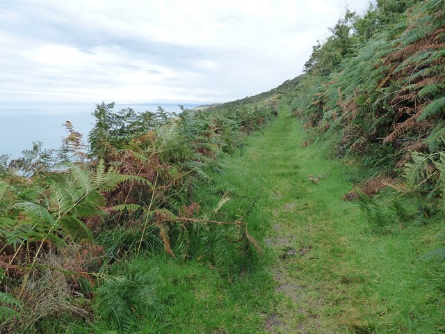
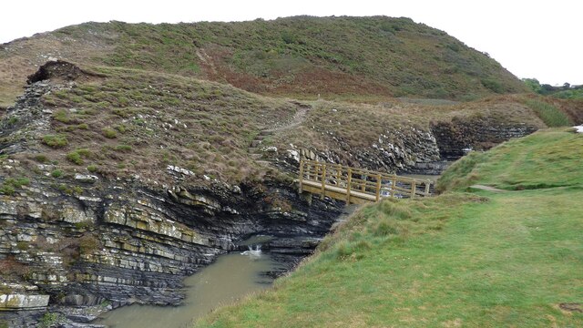
For those who enjoy outdoor activities, Allt Oernant offers a network of well-maintained walking trails, allowing visitors to explore the forest at their own pace. The trails wind through the woodland, offering opportunities to discover hidden waterfalls, serene ponds, and ancient ruins.
Allt Oernant is a place of natural beauty and tranquility, where visitors can immerse themselves in the wonders of nature. Whether it's a leisurely stroll, birdwatching, or simply enjoying a picnic amidst the peaceful surroundings, this woodland sanctuary has something to offer for everyone.
If you have any feedback on the listing, please let us know in the comments section below.
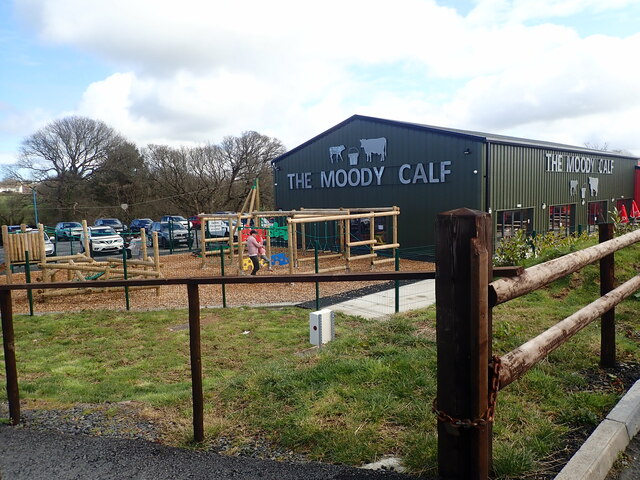
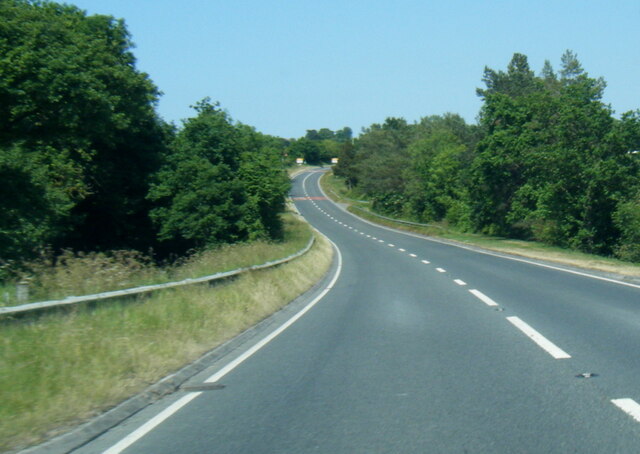
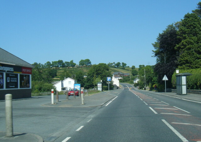
Allt Oernant Images
Images are sourced within 2km of 52.218495/-4.3000354 or Grid Reference SN4260. Thanks to Geograph Open Source API. All images are credited.

Allt Oernant is located at Grid Ref: SN4260 (Lat: 52.218495, Lng: -4.3000354)
Unitary Authority: Ceredigion
Police Authority: Dyfed Powys
What 3 Words
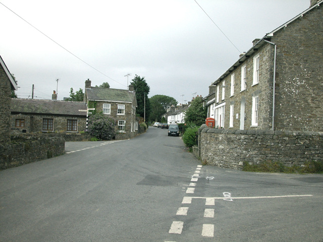
///leaflet.rebounder.acid. Near Llanarth, Ceredigion
Nearby Locations
Related Wikis

Pont y Gilfach
Pont-y-Gilfach (or Pont y Gilfach) is a small village in the community of Henfynyw, Ceredigion, Wales, which is 70.1 miles (112.8 km) from Cardiff and...

Llwyncelyn, Ceredigion
Lwyncelyn is a village in Ceredigion, Wales, situated on the A487 trunk road approximately 2.7 mi (4.3 km) southwest of the town of Aberaeron and 2 mi...
Ffos-y-ffin
Ffos-y-ffin is a village near Aberaeron, Wales. It is a great place to see the Red Kites. It is on the very scenic road between Aberystwyth and Cardigan...
Llaingarreglwyd
Llaingarreglwyd is a hamlet in the community of Llanarth, Ceredigion, Wales, which is 70 miles (112.6 km) from Cardiff and 185.3 miles (298.1 km) from...

Henfynyw
Henfynyw is a village and community in the county of Ceredigion, Wales, just outside Aberaeron, and is 69.6 miles (111.9 km) from Cardiff and 183.5 miles...
Gilfachrheda
Gilfachrheda or Gilfachreda is a village in the community of Llanarth, Ceredigion, Wales, at the confluence of two small rivers, the Afon Gido and the...
Llanarth, Ceredigion
Llanarth is both a small village and a community in Ceredigion, Wales. It is on the A487 road and is about 3 miles (4.8 km) from both Aberaeron and New...
Oakford, Ceredigion
Oakford (Welsh Derwen Gam) is a hamlet in the Welsh county of Ceredigion. It is some 5 miles (8 km) south of the coastal town of Aberaeron. == External... ==
Nearby Amenities
Located within 500m of 52.218495,-4.3000354Have you been to Allt Oernant?
Leave your review of Allt Oernant below (or comments, questions and feedback).