Allt Ffynnon-bwla

Wood, Forest in Carmarthenshire

Wales

Allt Ffynnon-bwla

Derelict water mill at Dolwallter There's a whole complex of associated stone buildings just below level of the B4459. It's the sort of place that needs a sympatetic restoration......
Derelict water mill at Dolwallter Credit: Stuart Logan

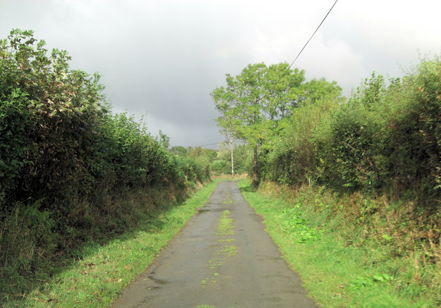
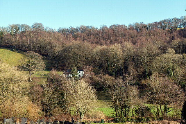
Allt Ffynnon-bwla is a picturesque wood located in the county of Carmarthenshire, Wales. Situated near the village of Llandybie, this enchanting forest spans across a vast area of approximately 30 hectares. The wood is predominantly comprised of native broadleaf trees, including oak, ash, and birch, which create a diverse and vibrant ecosystem.

The wood is home to an abundance of wildlife, with a variety of bird species, mammals, and insects thriving within its dense foliage. Visitors to Allt Ffynnon-bwla can expect to encounter woodland birds such as woodpeckers, jays, and thrushes, as well as elusive mammals like foxes, badgers, and deer. The forest floor is also teeming with life, with a myriad of insects, fungi, and plants adding to the biodiversity of the area.

To explore this natural treasure, visitors can follow well-maintained footpaths that wind through the wood, offering breathtaking views and opportunities for peaceful walks. These paths provide access to the heart of the forest, where visitors can immerse themselves in the tranquility of nature and enjoy the soothing sounds of rustling leaves and birdsong.

Allt Ffynnon-bwla is not only a haven for nature enthusiasts but also a valuable educational resource. The wood offers a unique opportunity for schools and research institutions to study and learn about the diverse ecology of a native Welsh woodland.

Overall, Allt Ffynnon-bwla is a captivating wood that offers visitors a chance to escape into the beauty of nature, learn about the local ecosystem, and appreciate the wonders of Carmarthenshire's natural heritage.

If you have any feedback on the listing, please let us know in the comments section below.

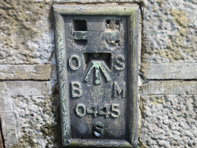
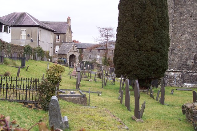
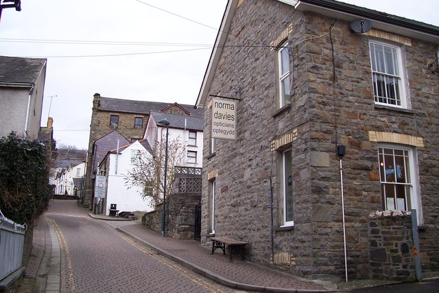
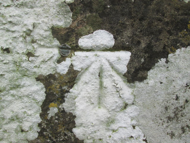
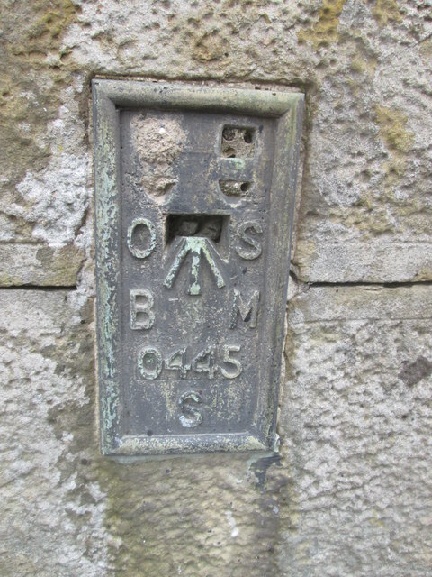
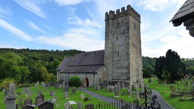
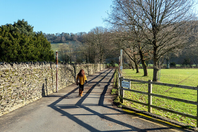
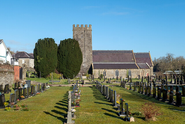
Allt Ffynnon-bwla Images

Images are sourced within 2km of 52.043566/-4.2909229 or Grid Reference SN4240. Thanks to Geograph Open Source API. All images are credited.

Derelict water mill at Dolwallter There's a whole complex of associated stone buildings just below level of the B4459. It's the sort of place that needs a sympatetic restoration......
Derelict water mill at Dolwallter
There's a whole complex of associated stone buildings just below level of the B4459. It's the sort of place that needs a sympatetic restoration......
B4459 north of Dolbantau
Pont Dolfor This old stone bridge carries a minor road over Afon Clettwr.
Pont Dolfor
This old stone bridge carries a minor road over Afon Clettwr.
Pasture in the Afon Clettwr valley Although the little river is not directly visible it's running between the double row of trees in the centre right of the picture.
Pasture in the Afon Clettwr valley
Although the little river is not directly visible it's running between the double row of trees in the centre right of the picture.
Two unnamed roads form T-junction east of Pen-rhiw
Llandysul Food Festival Carreg-las Dancers with keen youngsters performing "Dilwyn"
Llandysul Food Festival
Carreg-las Dancers with keen youngsters performing "Dilwyn"
Llandysul Food Festival Not the best of weather, Carreg-las dancing took place on the sheltered stage as the grass was very wet and slippery, one could be forgiven if this photo was mistaken for a "Punch and Judy Show"! 2010 photo is <a href="https://www.geograph.org.uk/photo/2763690">SN4140 : Llandysul Food Festival</a> perfect weather!
Llandysul Food Festival
Not the best of weather, Carreg-las dancing took place on the sheltered stage as the grass was very wet and slippery, one could be forgiven if this photo was mistaken for a "Punch and Judy Show"! 2010 photo is SN4140 : Llandysul Food Festival perfect weather!
St Tysul's Church at Llandysul
Ordnance Survey Flush Bracket S0445 This can be found on a gatepost in Seion Hill.
For more detail see : <span class="nowrap"><a title="http://www.bench-marks.org.uk/log?bm_key=20586" rel="nofollow ugc noopener" href="http://www.bench-marks.org.uk/log?bm_key=20586">Link</a><img style="margin-left:2px;" alt="External link" title="External link - shift click to open in new window" src="https://s1.geograph.org.uk/img/external.png" width="10" height="10"/></span>
Ordnance Survey Flush Bracket S0445
This can be found on a gatepost in Seion Hill. For more detail see : LinkExternal link
St Tysul's Church, Llandysul The church of St Tysul was founded by Tysul, 462 - 554, at the meeting place of a number of tracks at a ford over the River Teifi. The present stone structure dates from the thirteenth century and the roof remained thatched until 1783. The ancient altar with its early Christian inscription was incorporated into the altar of the Lady Chapel. The simple nave is separated from the north and south aisles by plain square pillars. Other ancient carved stones are found in the choir vestry. One of these is the Velvor Stone, a fragment cut from the middle of an inscribed slab.

The tower houses a ring of six bells which are rung regularly.
St Tysul's Church, Llandysul
The church of St Tysul was founded by Tysul, 462 - 554, at the meeting place of a number of tracks at a ford over the River Teifi. The present stone structure dates from the thirteenth century and the roof remained thatched until 1783. The ancient altar with its early Christian inscription was incorporated into the altar of the Lady Chapel. The simple nave is separated from the north and south aisles by plain square pillars. Other ancient carved stones are found in the choir vestry. One of these is the Velvor Stone, a fragment cut from the middle of an inscribed slab. The tower houses a ring of six bells which are rung regularly.
Lon Wesley, Llandysul, Ceredigion
Ordnance Survey 1GL Bolt This OS Bolt can be found on the west face of the tower of St Tyssul's Church. It marks a point 64.1065m above mean sea level.
Ordnance Survey 1GL Bolt
This OS Bolt can be found on the west face of the tower of St Tyssul's Church. It marks a point 64.1065m above mean sea level.
Ordnance Survey Flush Bracket (S0445) This OS Flush Bracket can be found on the south face of Seion Hill. It marks a point 79.233m above mean sea level.
Ordnance Survey Flush Bracket (S0445)
This OS Flush Bracket can be found on the south face of Seion Hill. It marks a point 79.233m above mean sea level.
St Tysul's Church <span class="nowrap"><a title="https://www.dyfedarchaeology.org.uk/wp/discovery/projects/churches/st-tysul-llandysul-ceredigion/" rel="nofollow ugc noopener" href="https://www.dyfedarchaeology.org.uk/wp/discovery/projects/churches/st-tysul-llandysul-ceredigion/">Link</a><img style="margin-left:2px;" alt="External link" title="External link - shift click to open in new window" src="https://s1.geograph.org.uk/img/external.png" width="10" height="10"/></span>
St Tysul's Church
Lane in Llandysul Leads to Afon Teifi from the town car park.
Lane in Llandysul
Leads to Afon Teifi from the town car park.
Eglwys St Tysul Church and graveyard, Llandysul The tower dates back to the 13th Century, but stones in the tower and Lady Chapel pre-date that. St Tysul was the first cousin of St David, the patron saint of Wales. Dyfed Archaeological trust:<span class="nowrap"><a title="https://www.dyfedarchaeology.org.uk/wp/discovery/projects/churches/st-tysul-llandysul-ceredigion/" rel="nofollow ugc noopener" href="https://www.dyfedarchaeology.org.uk/wp/discovery/projects/churches/st-tysul-llandysul-ceredigion/">Link</a><img style="margin-left:2px;" alt="External link" title="External link - shift click to open in new window" src="https://s1.geograph.org.uk/img/external.png" width="10" height="10"/></span>
Eglwys St Tysul Church and graveyard, Llandysul
The tower dates back to the 13th Century, but stones in the tower and Lady Chapel pre-date that. St Tysul was the first cousin of St David, the patron saint of Wales. Dyfed Archaeological trust:LinkExternal link
Stranded at Llandysul! Adventure Coachlines operate the once a day T1c (TrawsCymru) service from Aberystwyth to Cardiff. Unfortunately, on the day that I chose to use it, the coach came to a halt at Llandysul and could go no further. An air leak prevented the doors from closing, so it was immobilised. A local mechanic was summoned, but he was unable to fix the problem. Eventually, after a three-hour wait, a replacement coach arrived from Aberystwyth. Looking on the bright side, I was able to score a Geograph personal point as I have previously driven through Llandysul but never stopped there!
Stranded at Llandysul!
Adventure Coachlines operate the once a day T1c (TrawsCymru) service from Aberystwyth to Cardiff. Unfortunately, on the day that I chose to use it, the coach came to a halt at Llandysul and could go no further. An air leak prevented the doors from closing, so it was immobilised. A local mechanic was summoned, but he was unable to fix the problem. Eventually, after a three-hour wait, a replacement coach arrived from Aberystwyth. Looking on the bright side, I was able to score a Geograph personal point as I have previously driven through Llandysul but never stopped there!
Dol-llan A house standing above Afon Teifi on the edge of Llandysul.
Dol-llan
A house standing above Afon Teifi on the edge of Llandysul.
Show me another place!

Allt Ffynnon-bwla is located at Grid Ref: SN4240 (Lat: 52.043566, Lng: -4.2909229)

Unitary Authority: Carmarthenshire

Police Authority: Dyfed Powys

What 3 Words

///horseshoe.aviators.triangle. Near Llandysul, Ceredigion

Related Wikis

Craig Gwrtheyrn

Craig Gwrtheyrn, or Caer Gwrtheyrn, is an Iron Age hillfort on the south side of the River Teifi, about 1.2 miles (1.9 km) west of the village of Llanfihangel...

Llandysul

Llandysul, also spelt Llandyssul, is a small town and community in the county of Ceredigion, Wales. As a community it consists of the townships of Capel...

Faerdrefawr

Faerdrefawr is a small village in the community of Llandysul, Ceredigion, Wales, which is 62.2 miles (100 km) from Cardiff and 182 miles (293 km) from...

Ysgol Dyffryn Teifi

Ysgol Dyffryn Teifi was a bilingual (Welsh and English) comprehensive school in Llandysul, Ceredigion. It stood on the site of the previous Llandysul Grammar...

Llandyssul railway station

Llandyssul (previously Llandyssil) was a railway station near the village of Llandysul, West Wales, on the originally broad gauge Teifi Valley line of...

Rock Mill Llandysul

Rock Mill Llandysul (Welsh: Melin Wlân), in Capel Dewi, Llandysul, Ceredigion, is the last woollen mill in Wales to be powered by a water wheel. ��2�...

Derlwyn, Ceredigion

Derlwyn is a small village in the community of Llandysul, Ceredigion, Wales, which is 61.4 miles (98.8 km) from Cardiff and 180.9 miles (291.1 km) from...

Pentrellwyn

Pentrellwyn is a small village in the community of Llandysul, Ceredigion, Wales. Pentrellwyn is represented in the Senedd by Elin Jones (Plaid Cymru) and...

Nearby Amenities

Located within 500m of 52.043566,-4.2909229
The data included in this document is from www.openstreetmap.org. The data is made available under ODbL.

Have you been to Allt Ffynnon-bwla?

Leave your review of Allt Ffynnon-bwla below (or comments, questions and feedback).