Allt Dol-llan

Wood, Forest in Carmarthenshire

Wales

Allt Dol-llan

Llandysul Food Festival Carreg-las Dancers with keen youngsters performing "Dilwyn"
Llandysul Food Festival Credit: chris whitehouse

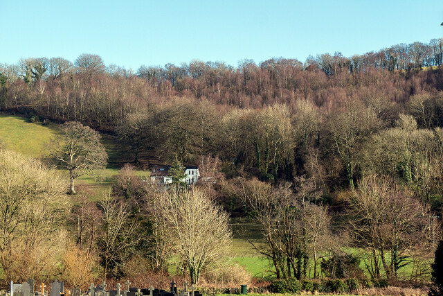
Allt Dol-llan is a scenic woodland located in the county of Carmarthenshire, Wales. Situated near the village of Llanpumsaint, it covers an area of approximately 70 hectares. The woodland is known for its natural beauty and diverse flora and fauna.

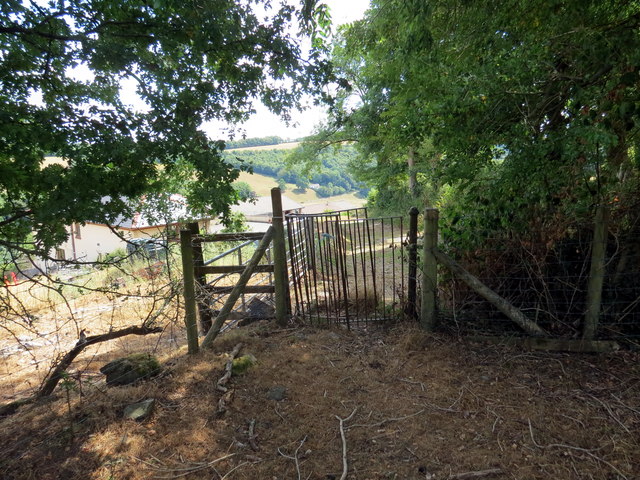
The main feature of Allt Dol-llan is its dense forest, which is predominantly composed of native broadleaf trees such as oak, ash, and beech. These trees create a lush canopy, providing shade and shelter for a variety of wildlife. The forest floor is covered with an array of wildflowers, ferns, and mosses, adding to the visual appeal of the woodland.

Several walking trails meander through Allt Dol-llan, allowing visitors to explore its enchanting surroundings. These paths provide opportunities for nature lovers to observe the diverse range of wildlife that calls the woodland home. Species commonly spotted in the area include red squirrels, badgers, foxes, and a variety of bird species.

The woodland also holds historical significance, with traces of ancient settlements and burial sites scattered throughout. Archaeological remains suggest that the area has been inhabited for thousands of years.

Allt Dol-llan is a popular destination for outdoor enthusiasts, offering a peaceful and tranquil environment for walking, birdwatching, and photography. The woodland's picturesque setting, combined with its rich biodiversity and historical heritage, make it a cherished natural asset in Carmarthenshire.

If you have any feedback on the listing, please let us know in the comments section below.

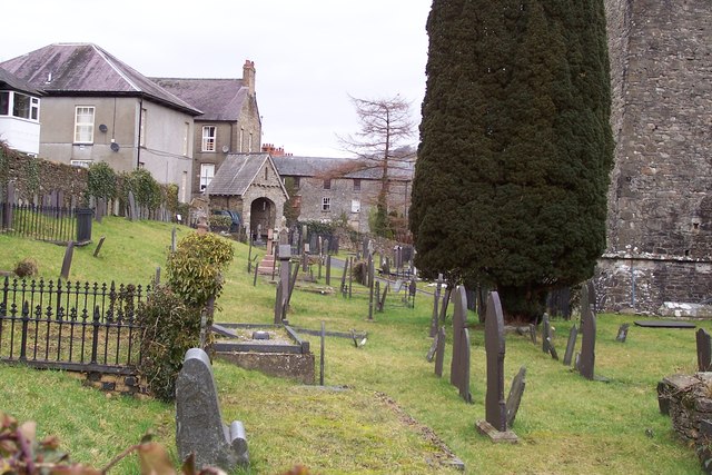
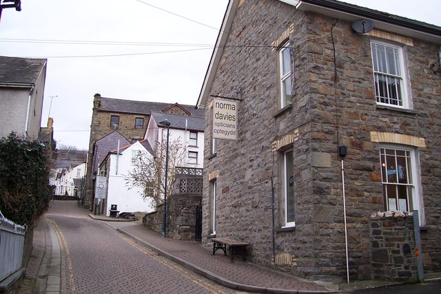
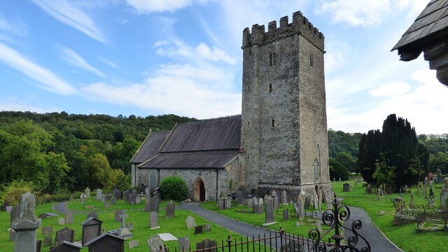
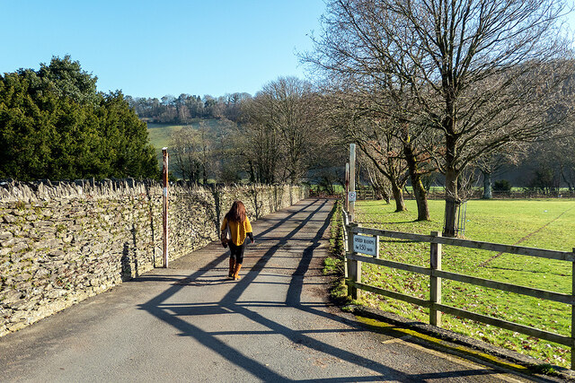
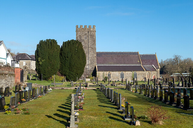
Allt Dol-llan Images

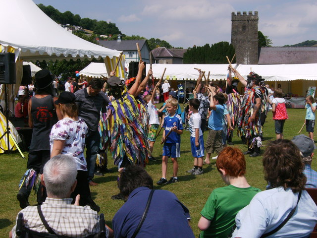
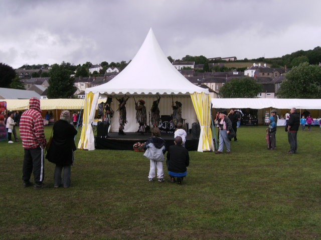
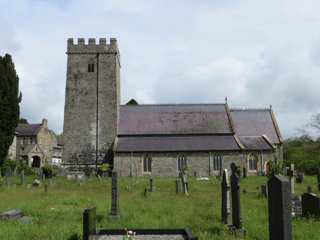
Images are sourced within 2km of 52.037708/-4.304038 or Grid Reference SN4240. Thanks to Geograph Open Source API. All images are credited.

Llandysul Food Festival Carreg-las Dancers with keen youngsters performing "Dilwyn"
Llandysul Food Festival
Carreg-las Dancers with keen youngsters performing "Dilwyn"
Llandysul Food Festival Not the best of weather, Carreg-las dancing took place on the sheltered stage as the grass was very wet and slippery, one could be forgiven if this photo was mistaken for a "Punch and Judy Show"! 2010 photo is <a href="https://www.geograph.org.uk/photo/2763690">SN4140 : Llandysul Food Festival</a> perfect weather!
Llandysul Food Festival
Not the best of weather, Carreg-las dancing took place on the sheltered stage as the grass was very wet and slippery, one could be forgiven if this photo was mistaken for a "Punch and Judy Show"! 2010 photo is SN4140 : Llandysul Food Festival perfect weather!
Site of Llandysul Station Yard The new Llandysul bypass, on the right,goes across the site of Llandysul Station, closed as part of the Beeching Plan.  The long building on the left is all that is left of the station's goods facilities.  Sidings ran alongside and wagons were unloaded directly into them.
Site of Llandysul Station Yard
The new Llandysul bypass, on the right,goes across the site of Llandysul Station, closed as part of the Beeching Plan. The long building on the left is all that is left of the station's goods facilities. Sidings ran alongside and wagons were unloaded directly into them.
St Tysul's Church at Llandysul
Ordnance Survey Flush Bracket S0445 This can be found on a gatepost in Seion Hill.
For more detail see : <span class="nowrap"><a title="http://www.bench-marks.org.uk/log?bm_key=20586" rel="nofollow ugc noopener" href="http://www.bench-marks.org.uk/log?bm_key=20586">Link</a><img style="margin-left:2px;" alt="External link" title="External link - shift click to open in new window" src="https://s1.geograph.org.uk/img/external.png" width="10" height="10"/></span>
Ordnance Survey Flush Bracket S0445
This can be found on a gatepost in Seion Hill. For more detail see : LinkExternal link
St Tysul's Church, Llandysul The church of St Tysul was founded by Tysul, 462 - 554, at the meeting place of a number of tracks at a ford over the River Teifi. The present stone structure dates from the thirteenth century and the roof remained thatched until 1783. The ancient altar with its early Christian inscription was incorporated into the altar of the Lady Chapel. The simple nave is separated from the north and south aisles by plain square pillars. Other ancient carved stones are found in the choir vestry. One of these is the Velvor Stone, a fragment cut from the middle of an inscribed slab.

The tower houses a ring of six bells which are rung regularly.
St Tysul's Church, Llandysul
The church of St Tysul was founded by Tysul, 462 - 554, at the meeting place of a number of tracks at a ford over the River Teifi. The present stone structure dates from the thirteenth century and the roof remained thatched until 1783. The ancient altar with its early Christian inscription was incorporated into the altar of the Lady Chapel. The simple nave is separated from the north and south aisles by plain square pillars. Other ancient carved stones are found in the choir vestry. One of these is the Velvor Stone, a fragment cut from the middle of an inscribed slab. The tower houses a ring of six bells which are rung regularly.
Lon Wesley, Llandysul, Ceredigion
Ordnance Survey 1GL Bolt This OS Bolt can be found on the west face of the tower of St Tyssul's Church. It marks a point 64.1065m above mean sea level.
Ordnance Survey 1GL Bolt
This OS Bolt can be found on the west face of the tower of St Tyssul's Church. It marks a point 64.1065m above mean sea level.
Ordnance Survey Flush Bracket (S0445) This OS Flush Bracket can be found on the south face of Seion Hill. It marks a point 79.233m above mean sea level.
Ordnance Survey Flush Bracket (S0445)
This OS Flush Bracket can be found on the south face of Seion Hill. It marks a point 79.233m above mean sea level.
St Tysul's Church <span class="nowrap"><a title="https://www.dyfedarchaeology.org.uk/wp/discovery/projects/churches/st-tysul-llandysul-ceredigion/" rel="nofollow ugc noopener" href="https://www.dyfedarchaeology.org.uk/wp/discovery/projects/churches/st-tysul-llandysul-ceredigion/">Link</a><img style="margin-left:2px;" alt="External link" title="External link - shift click to open in new window" src="https://s1.geograph.org.uk/img/external.png" width="10" height="10"/></span>
St Tysul's Church
Lane in Llandysul Leads to Afon Teifi from the town car park.
Lane in Llandysul
Leads to Afon Teifi from the town car park.
Eglwys St Tysul Church and graveyard, Llandysul The tower dates back to the 13th Century, but stones in the tower and Lady Chapel pre-date that. St Tysul was the first cousin of St David, the patron saint of Wales. Dyfed Archaeological trust:<span class="nowrap"><a title="https://www.dyfedarchaeology.org.uk/wp/discovery/projects/churches/st-tysul-llandysul-ceredigion/" rel="nofollow ugc noopener" href="https://www.dyfedarchaeology.org.uk/wp/discovery/projects/churches/st-tysul-llandysul-ceredigion/">Link</a><img style="margin-left:2px;" alt="External link" title="External link - shift click to open in new window" src="https://s1.geograph.org.uk/img/external.png" width="10" height="10"/></span>
Eglwys St Tysul Church and graveyard, Llandysul
The tower dates back to the 13th Century, but stones in the tower and Lady Chapel pre-date that. St Tysul was the first cousin of St David, the patron saint of Wales. Dyfed Archaeological trust:LinkExternal link
Stranded at Llandysul! Adventure Coachlines operate the once a day T1c (TrawsCymru) service from Aberystwyth to Cardiff. Unfortunately, on the day that I chose to use it, the coach came to a halt at Llandysul and could go no further. An air leak prevented the doors from closing, so it was immobilised. A local mechanic was summoned, but he was unable to fix the problem. Eventually, after a three-hour wait, a replacement coach arrived from Aberystwyth. Looking on the bright side, I was able to score a Geograph personal point as I have previously driven through Llandysul but never stopped there!
Stranded at Llandysul!
Adventure Coachlines operate the once a day T1c (TrawsCymru) service from Aberystwyth to Cardiff. Unfortunately, on the day that I chose to use it, the coach came to a halt at Llandysul and could go no further. An air leak prevented the doors from closing, so it was immobilised. A local mechanic was summoned, but he was unable to fix the problem. Eventually, after a three-hour wait, a replacement coach arrived from Aberystwyth. Looking on the bright side, I was able to score a Geograph personal point as I have previously driven through Llandysul but never stopped there!
Dol-llan A house standing above Afon Teifi on the edge of Llandysul.
Dol-llan
A house standing above Afon Teifi on the edge of Llandysul.
St Tysul's Church, Llandysul
Road (B4476) approaching Llandysul Looking south-westward.
Road (B4476) approaching Llandysul
Looking south-westward.
Afon Teifi / Teifi River Afon Teifi o fynwent Llandysul. Roedd hen ryd hefyd yn croesi'r afon yn y lleoliad hwn.

The Teifi River from Llandysul (trans. St Tysul's church) churchyard. At this location an old ford crossed the river.
Afon Teifi / Teifi River
Afon Teifi o fynwent Llandysul. Roedd hen ryd hefyd yn croesi'r afon yn y lleoliad hwn. The Teifi River from Llandysul (trans. St Tysul's church) churchyard. At this location an old ford crossed the river.
Llwybr i Landysul / A path to Llandysul Llwybr cyhoeddus yn mynd i gyfeiriad Llandysul.

A public footpath heading in the direction of Llandysul (trans. St Tysul's church).
Llwybr i Landysul / A path to Llandysul
Llwybr cyhoeddus yn mynd i gyfeiriad Llandysul. A public footpath heading in the direction of Llandysul (trans. St Tysul's church).
Show me another place!

Allt Dol-llan is located at Grid Ref: SN4240 (Lat: 52.037708, Lng: -4.304038)

Unitary Authority: Carmarthenshire

Police Authority: Dyfed Powys

What 3 Words

///admiringly.stewing.shifts. Near Llandysul, Ceredigion

Related Wikis

Llandysul

Llandysul, also spelt Llandyssul, is a small town and community in the county of Ceredigion, Wales. As a community it consists of the townships of Capel...

Ysgol Dyffryn Teifi

Ysgol Dyffryn Teifi was a bilingual (Welsh and English) comprehensive school in Llandysul, Ceredigion. It stood on the site of the previous Llandysul Grammar...

Llandyssul railway station

Llandyssul (previously Llandyssil) was a railway station near the village of Llandysul, West Wales, on the originally broad gauge Teifi Valley line of...

Craig Gwrtheyrn

Craig Gwrtheyrn, or Caer Gwrtheyrn, is an Iron Age hillfort on the south side of the River Teifi, about 1.2 miles (1.9 km) west of the village of Llanfihangel...

Nearby Amenities

Located within 500m of 52.037708,-4.304038
Bus Stop
St Tysul's Church
Public Transport: platform
Shelter: yes
Lat/Long: 52.041513/-4.3078337
Bench
Lat/Long: 52.0415357/-4.3077662
Bench
Lat/Long: 52.0414038/-4.3081712
Waste Basket
Lat/Long: 52.0414161/-4.3081524
Bench
Lat/Long: 52.0413757/-4.30821
Barrier: bollard
Lat/Long: 52.0412297/-4.3082825
Waste Basket
Lat/Long: 52.0415432/-4.3077005
Bench
Lat/Long: 52.0415357/-4.3077447
Bench
Lat/Long: 52.0414293/-4.308131
Pharmacy
Lloyds Pharmacy
Addr Postcode: SA44 4QJ
Addr Street: New Road
Brand: Lloyds Pharmacy
Brand Wikidata: Q6662870
Brand Wikipedia: en:LloydsPharmacy
Fhrs Id: 863164
Healthcare: pharmacy
Source Addr: FHRS Open Data
Lat/Long: 52.0413996/-4.3080492
Bench
Lat/Long: 52.0407766/-4.3088514
Bench
Lat/Long: 52.040817/-4.308846
Bench
Lat/Long: 52.0408269/-4.3088045
Barrier: bollard
Lat/Long: 52.0408153/-4.3088259
Waste Basket
Lat/Long: 52.0408054/-4.3088628
Barrier: bollard
Lat/Long: 52.0407914/-4.3088608
Barrier: bollard
Lat/Long: 52.0408384/-4.3087971
Place: farm
Lat/Long: 52.0338512/-4.3066141
Leisure: picnic_table
Lat/Long: 52.0396482/-4.3094676
Leisure: picnic_table
Lat/Long: 52.0395563/-4.3094032
Leisure: picnic_table
Lat/Long: 52.0395864/-4.3093094
Leisure: picnic_table
Lat/Long: 52.0396107/-4.309194
Leisure: picnic_table
Lat/Long: 52.0397707/-4.3091545
Direction: 125
Generator Method: photovoltaic
Generator Output Electricity: yes
Generator Solar Modules: 14
Generator Source: solar
Generator Type: solar_photovoltaic_panel
Location: roof
Power: generator
Lat/Long: 52.0411956/-4.3079656
Direction: 125
Generator Method: photovoltaic
Generator Output Electricity: yes
Generator Solar Modules: 14
Generator Source: solar
Generator Type: solar_photovoltaic_panel
Location: roof
Power: generator
Lat/Long: 52.0407143/-4.3085705
Direction: SSE
Generator Method: photovoltaic
Generator Output Electricity: yes
Generator Solar Modules: 16
Generator Source: solar
Generator Type: solar_photovoltaic_panel
Location: roof
Power: generator
Lat/Long: 52.0356552/-4.3090063
The data included in this document is from www.openstreetmap.org. The data is made available under ODbL.

Have you been to Allt Dol-llan?

Leave your review of Allt Dol-llan below (or comments, questions and feedback).