Coed Henblas
Wood, Forest in Anglesey
Wales
Coed Henblas
Empty reply from server
If you have any feedback on the listing, please let us know in the comments section below.
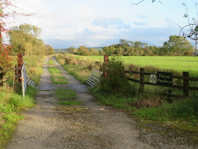
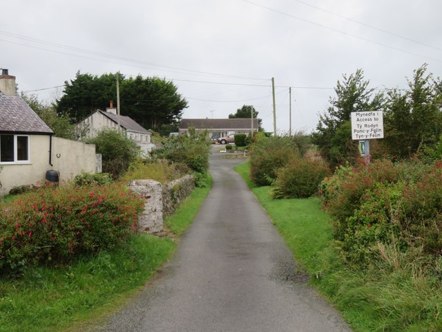
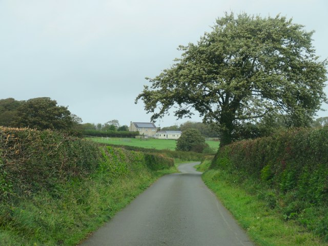
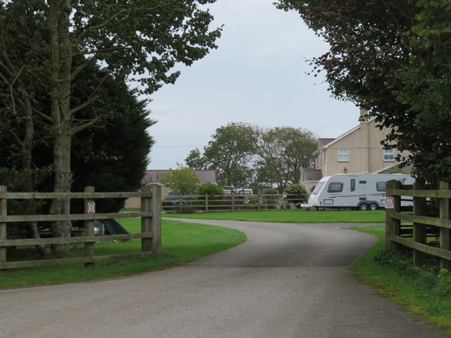
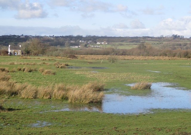
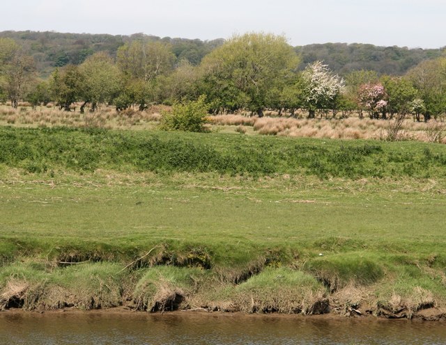
Coed Henblas Images
Images are sourced within 2km of 53.224285/-4.3530148 or Grid Reference SH4372. Thanks to Geograph Open Source API. All images are credited.


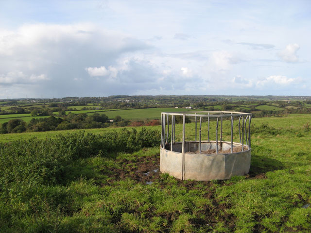
![Cefncwmwd Summit Easy bag after finding the nearby hidden trig with Paul Webster.
Name: Cefncwmwd
Hill number: 14828
Height: 84m / 276ft
Parent (Ma/M): 1961 Mynydd Bodafon [Yr Arwydd]
Section: 30A: Anglesey and the Lleyn Peninsula
County/UA: Anglesey [Sir Fon] (CoU)
Maritime Area: North Wales - Anglesey
Island: Anglesey
Class: Tump (0-99m)
Grid ref: SH 43447 74204
Summit feature: no feature: level pasture by garden fence
Drop: 35m
Col: 49m SH420749](https://s1.geograph.org.uk/geophotos/04/61/71/4617101_13fcdb15.jpg)


Coed Henblas is located at Grid Ref: SH4372 (Lat: 53.224285, Lng: -4.3530148)
Unitary Authority: Isle of Anglesey
Police Authority: North Wales
What 3 Words
///thundered.interlude.observer. Near Llangefni, Isle of Anglesey
Nearby Locations
Related Wikis

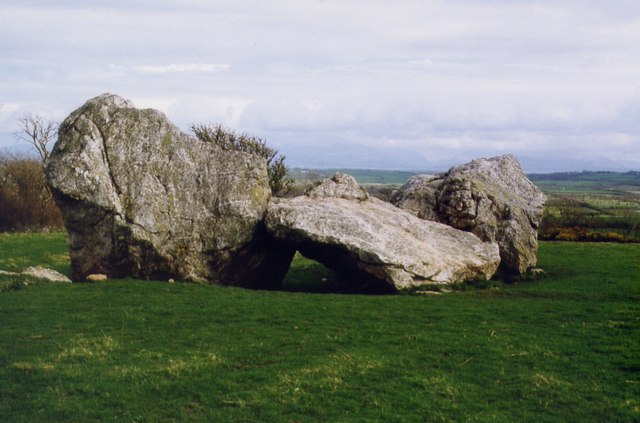
Henblas Burial Chamber
Henblas Burial Chamber is a Neolithic dolmen located in Henblas, to the southwest of Llangristiolus, Anglesey, Wales. == Description == The structure consists...

Henblas, Anglesey
Henblas is an area in the community of Llangristiolus, Anglesey, Wales, which is 130.7 miles (210.3 km) from Cardiff and 214.6 miles (345.3 km) from London...
Berw Fault
The Berw Fault is a SW-NE trending fault in North Wales. It forms part of the Menai Strait Fault System, with the Dinorwic Fault and the Aber Dinlle Fault...
Cerrigceinwen
Cerrigceinwen (Welsh: ['kɛrɪɡ'kɛinʊɛn]) is a hamlet in the community of Llangristiolus, Anglesey, Wales. == References == == See also == List of localities...
Nearby Amenities
Located within 500m of 53.224285,-4.3530148Have you been to Coed Henblas?
Leave your review of Coed Henblas below (or comments, questions and feedback).