Cwm Buwch

Valley in Cardiganshire

Wales

Cwm Buwch

Bar Llaeth Gwarffynnon Wayside Milk Bar, selling milk from a local farm
Bar Llaeth Gwarffynnon Credit: Eirian Evans

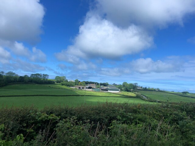
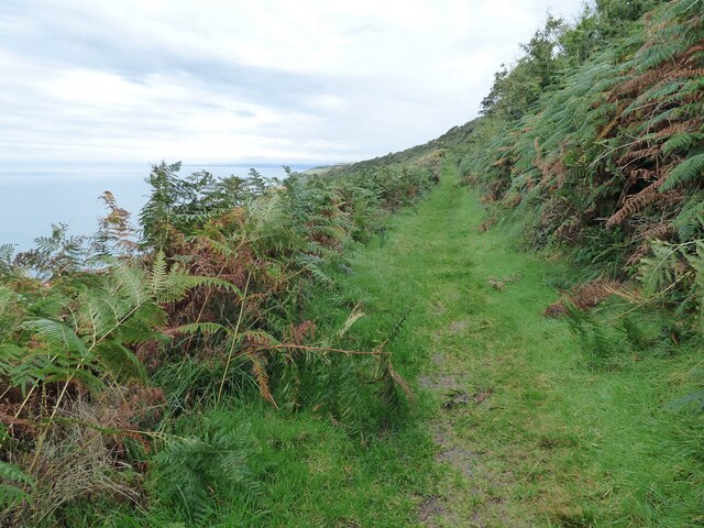
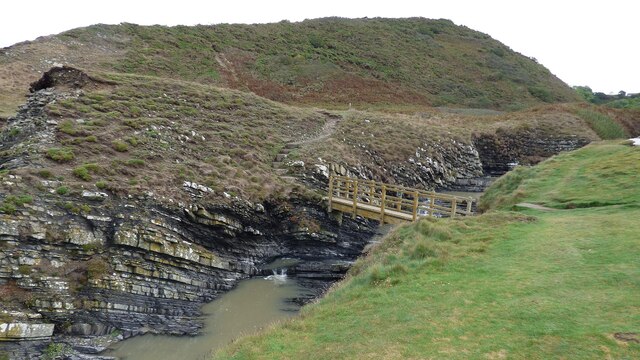
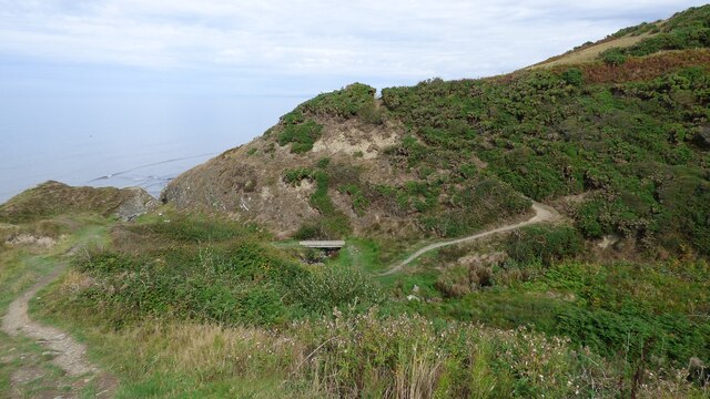
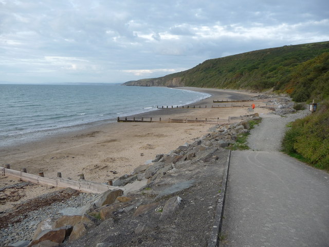
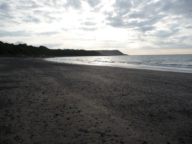
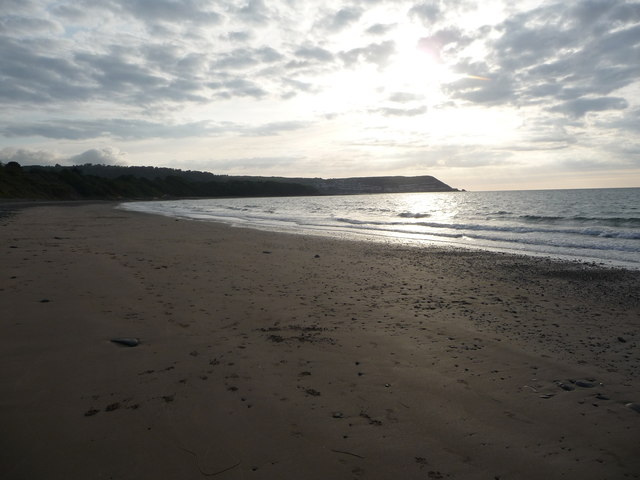
Cwm Buwch is a picturesque valley located in Cardiganshire, Wales. The valley is known for its stunning natural beauty, with rolling hills, lush greenery, and a meandering river running through it. The name "Cwm Buwch" translates to "Valley of the Cow" in English, reflecting the agricultural history of the area.

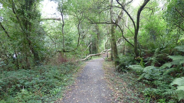
The valley is home to a variety of wildlife, including red kites, buzzards, and otters, making it a popular destination for nature enthusiasts and birdwatchers. Visitors to Cwm Buwch can enjoy hiking along the many trails that wind through the valley, taking in the breathtaking views of the surrounding countryside.

In addition to its natural beauty, Cwm Buwch also has a rich cultural heritage, with several historic sites and landmarks scattered throughout the valley. These include ancient burial mounds, stone circles, and the ruins of old farmhouses, providing a glimpse into the valley's past.

Overall, Cwm Buwch is a tranquil and idyllic valley that offers visitors a peaceful retreat from the hustle and bustle of everyday life. Whether you're looking to explore the great outdoors or simply relax in a beautiful setting, Cwm Buwch is the perfect destination.

If you have any feedback on the listing, please let us know in the comments section below.
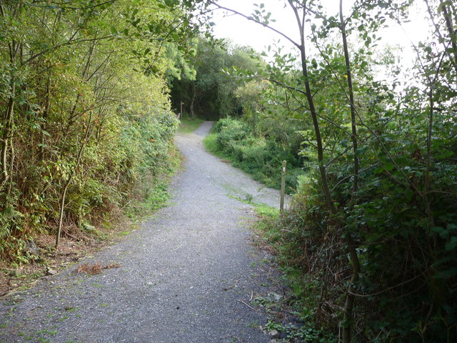
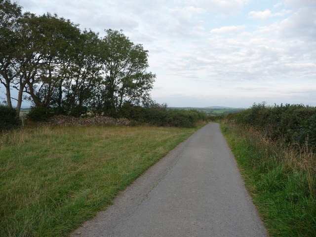
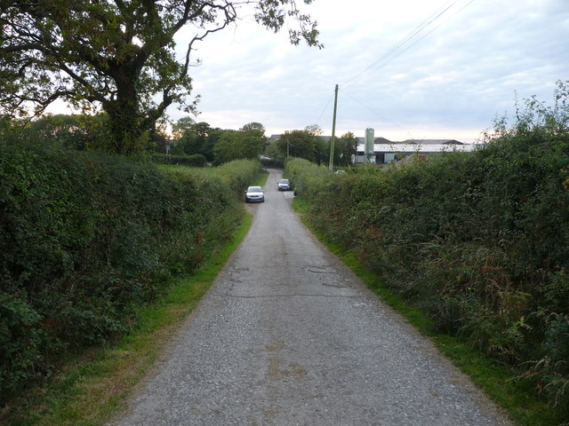
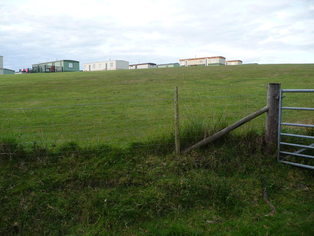
Cwm Buwch Images

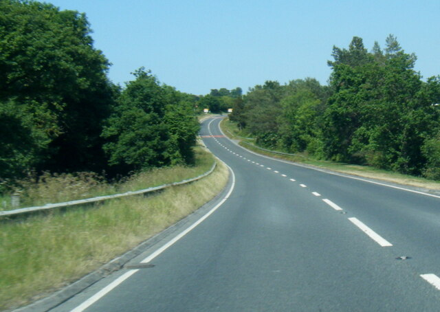
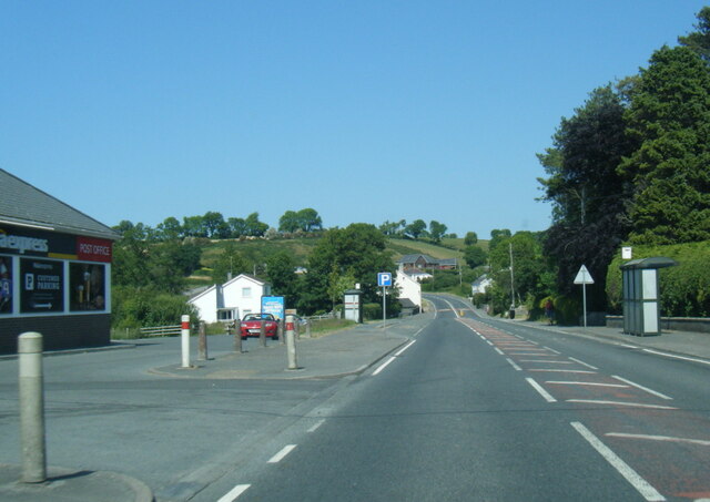
Images are sourced within 2km of 52.218231/-4.3057315 or Grid Reference SN4260. Thanks to Geograph Open Source API. All images are credited.

Bar Llaeth Gwarffynnon Wayside Milk Bar, selling milk from a local farm
Bar Llaeth Gwarffynnon
Wayside Milk Bar, selling milk from a local farm
The Moody Cow Farm shop and bistro at Llwyncelyn, south of Aberaeron.
The Moody Cow
Farm shop and bistro at Llwyncelyn, south of Aberaeron.
The Moody Calf Playground and Play Barn at the Moody Cow farm shop
The Moody Calf
Playground and Play Barn at the Moody Cow farm shop
Ceredigion Coast Path A tree fallen across the path at this point.
Ceredigion Coast Path
A tree fallen across the path at this point.
Sun shining on Castell-y-Geifr farm
A487 north of Llanarth
A487 at Pontrhyd
A487 at Pontrhyd
A487 in Llwyncelyn
A487 in Llwyncelyn
Ceredigion Coast Path The path leads through dense bracken along this length.
Ceredigion Coast Path
The path leads through dense bracken along this length.
Footbridge across the Afon Drywi
Ceredigion Coast path Bridge across the Ceri Brook. This bridge was erected sometime after 2004 <a href="https://www.geograph.org.uk/photo/499270">SN4361 : Cwm Cilfforch taken from Cilcert side</a>
Ceredigion Coast path
Bridge across the Ceri Brook. This bridge was erected sometime after 2004 SN4361 : Cwm Cilfforch taken from Cilcert side
Part of Little Quay Bay and Cei-bach beach Looking north up the coast of Cardigan Bay over this isolated and quiet beach with its storm defences to prevent erosion of the sands and foreshore.
Part of Little Quay Bay and Cei-bach beach
Looking north up the coast of Cardigan Bay over this isolated and quiet beach with its storm defences to prevent erosion of the sands and foreshore.
On Cei-bach Beach Looking westwards towards the headland and the New Quay headland beyond.
On Cei-bach Beach
Looking westwards towards the headland and the New Quay headland beyond.
On Cei-bach beach, looking westwards An August evening beside the sea, who would want to be anywhere else?
On Cei-bach beach, looking westwards
An August evening beside the sea, who would want to be anywhere else?
Junction of paths above the Ceredigion coast Paths contour along the steep hillside above Little Quay Bay and some run down to the beach and up to the fields above.
Junction of paths above the Ceredigion coast
Paths contour along the steep hillside above Little Quay Bay and some run down to the beach and up to the fields above.
Lane with a hardcore store beside it Rubble, pebbles, stone and building or demolition rubble is piled here, available for filling potholes in the nearby farms.
Lane with a hardcore store beside it
Rubble, pebbles, stone and building or demolition rubble is piled here, available for filling potholes in the nearby farms.
Lane approaching Penlanymor farm and caravan park The lane runs down to the farm on the corner.
Lane approaching Penlanymor farm and caravan park
The lane runs down to the farm on the corner.
Part of Penlanymor Caravan Park These static caravans look out over Little Quay Bay towards New Quay.
Part of Penlanymor Caravan Park
These static caravans look out over Little Quay Bay towards New Quay.
Show me another place!

Cwm Buwch is located at Grid Ref: SN4260 (Lat: 52.218231, Lng: -4.3057315)

Unitary Authority: Ceredigion

Police Authority: Dyfed Powys

What 3 Words

///ankle.eclipses.trespass. Near Llanarth, Ceredigion

Related Wikis

Pont y Gilfach

Pont-y-Gilfach (or Pont y Gilfach) is a small village in the community of Henfynyw, Ceredigion, Wales, which is 70.1 miles (112.8 km) from Cardiff and...

Llwyncelyn, Ceredigion

Lwyncelyn is a village in Ceredigion, Wales, situated on the A487 trunk road approximately 2.7 mi (4.3 km) southwest of the town of Aberaeron and 2 mi...

Llaingarreglwyd

Llaingarreglwyd is a hamlet in the community of Llanarth, Ceredigion, Wales, which is 70 miles (112.6 km) from Cardiff and 185.3 miles (298.1 km) from...

Ffos-y-ffin

Ffos-y-ffin is a village near Aberaeron, Wales. It is a great place to see the Red Kites. It is on the very scenic road between Aberystwyth and Cardigan...

Nearby Amenities

Located within 500m of 52.218231,-4.3057315
Created By: dmgroom_coastlines
Source: PGS
Lat/Long: 52.2221608/-4.306265
Created By: dmgroom_coastlines
Source: PGS
Lat/Long: 52.221669/-4.306361
Created By: dmgroom_coastlines
Source: PGS
Lat/Long: 52.221536/-4.306875
Created By: dmgroom_coastlines
Source: PGS
Lat/Long: 52.221527/-4.307709
Created By: dmgroom_coastlines
Source: PGS
Lat/Long: 52.2210525/-4.3079138
Created By: dmgroom_coastlines
Source: PGS
Lat/Long: 52.2207068/-4.3082611
Source: PGS
Lat/Long: 52.2206322/-4.3085534
Source: PGS
Lat/Long: 52.2198019/-4.3102214
Source: PGS
Lat/Long: 52.2196626/-4.3104485
Source: PGS
Lat/Long: 52.2190846/-4.311775
Barrier: kissing_gate
Lat/Long: 52.2209393/-4.3071333
Place: farm
Lat/Long: 52.2160937/-4.3019035
The data included in this document is from www.openstreetmap.org. The data is made available under ODbL.

Have you been to Cwm Buwch?

Leave your review of Cwm Buwch below (or comments, questions and feedback).