Coombe Bottoms

Valley in Cornwall

England

Coombe Bottoms

St Germanus' Church, Rame The Grade I listed church  dates to the 13th and 15th centuries. St. Germanus, a bishop of Auxerre in Late Antique Gaul is supposed to have landed in the neighbourhood when he came to Britain to suppress the Pelagian heresy in about 429. The church underwent restoration in 1848and again in 1883–1885, the latter  at the sole expense of Kenelm William Edward Edgcumbe, the 6th Earl of Mount Edgcumbe.
St Germanus' Church, Rame Credit: Richard Rogerson

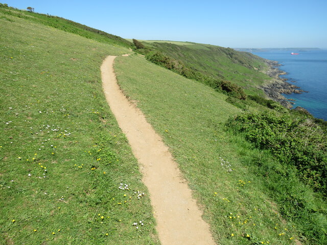
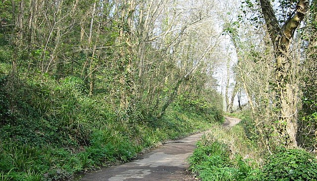
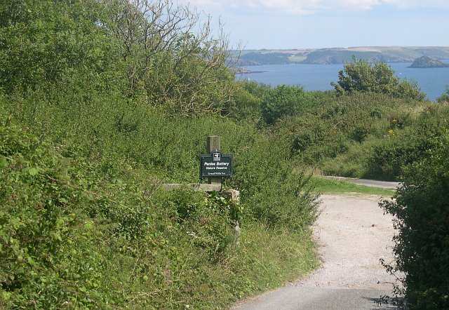
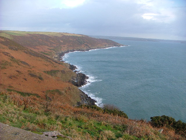
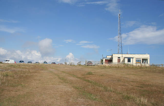
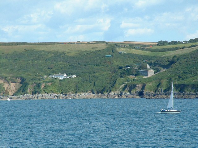
Coombe Bottoms is a picturesque valley located in Cornwall, England. The valley is characterized by its lush greenery, rolling hills, and meandering streams. It is a popular destination for hikers and nature enthusiasts, offering a variety of walking trails and stunning views of the surrounding countryside.

Coombe Bottoms is home to a diverse array of wildlife, including birds, butterflies, and small mammals. The valley provides a peaceful and serene environment for visitors to enjoy the sights and sounds of nature.

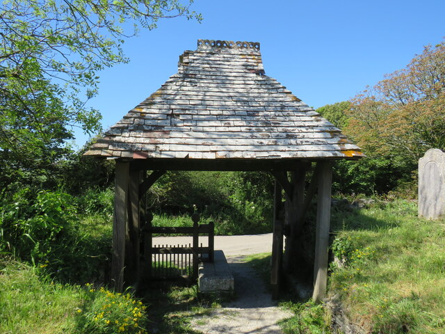
The valley is also rich in history, with evidence of ancient settlements and mining activities dating back centuries. Visitors can explore the remnants of old mine shafts and stone walls, providing a glimpse into the region's past.

Coombe Bottoms offers a tranquil retreat from the hustle and bustle of everyday life, allowing visitors to immerse themselves in the beauty of the natural world. Whether you're looking for a leisurely stroll or a more challenging hike, Coombe Bottoms has something to offer for outdoor enthusiasts of all levels.

If you have any feedback on the listing, please let us know in the comments section below.

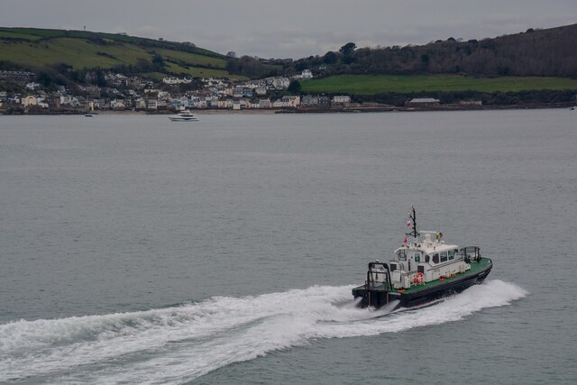
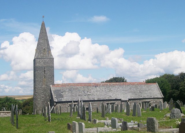
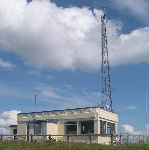
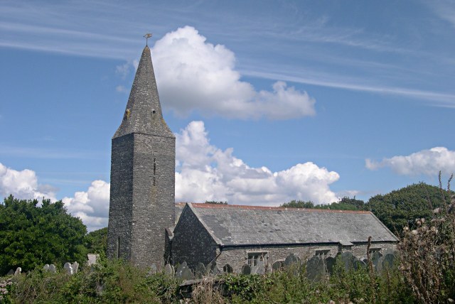
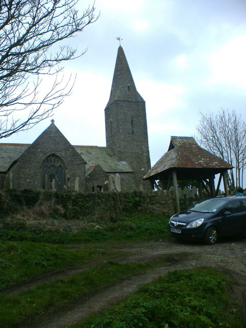
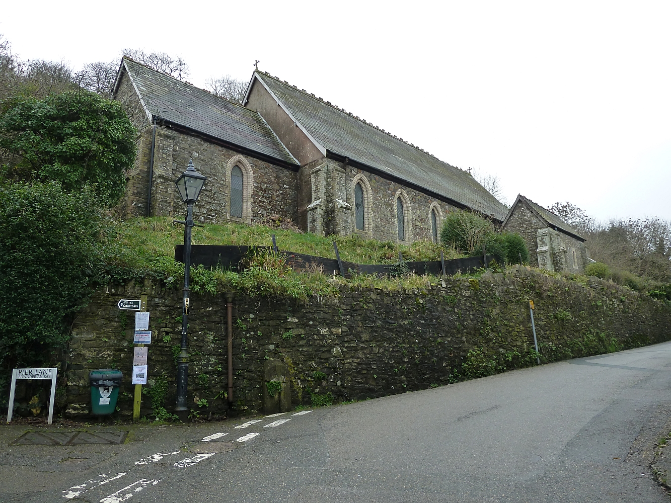
Coombe Bottoms Images

Images are sourced within 2km of 50.331033/-4.2131014 or Grid Reference SX4250. Thanks to Geograph Open Source API. All images are credited.

St Germanus' Church, Rame The Grade I listed church  dates to the 13th and 15th centuries. St. Germanus, a bishop of Auxerre in Late Antique Gaul is supposed to have landed in the neighbourhood when he came to Britain to suppress the Pelagian heresy in about 429. The church underwent restoration in 1848and again in 1883–1885, the latter  at the sole expense of Kenelm William Edward Edgcumbe, the 6th Earl of Mount Edgcumbe.
St Germanus' Church, Rame
The Grade I listed church dates to the 13th and 15th centuries. St. Germanus, a bishop of Auxerre in Late Antique Gaul is supposed to have landed in the neighbourhood when he came to Britain to suppress the Pelagian heresy in about 429. The church underwent restoration in 1848and again in 1883–1885, the latter at the sole expense of Kenelm William Edward Edgcumbe, the 6th Earl of Mount Edgcumbe.
Lych Gate, St Germanus' Church, Rame As with many old lych gates, there is a bier or lych stone to rest the coffin on until the clergyman's arrival.
Lych Gate, St Germanus' Church, Rame
As with many old lych gates, there is a bier or lych stone to rest the coffin on until the clergyman's arrival.
Ramehead Path Part of the South West Coast Path.
Ramehead Path
Part of the South West Coast Path.
NCI Ramehead The NCI (National Coastwatch Institution) are a voluntary organisation keeping a visual watch along the UK coastline. It was formed after many of HM Coastguard's visual watch stations were closed. NCI Ramehead is a cream painted, single storey building with a flagstaff. It is adjacent to a Coastguard radio mast.
NCI Ramehead
The NCI (National Coastwatch Institution) are a voluntary organisation keeping a visual watch along the UK coastline. It was formed after many of HM Coastguard's visual watch stations were closed. NCI Ramehead is a cream painted, single storey building with a flagstaff. It is adjacent to a Coastguard radio mast.
Maker-With-Rame : Coastal Scenery Looking across the coast at the entrance to Plymouth South, with Kingsand in the background.
Maker-With-Rame : Coastal Scenery
Looking across the coast at the entrance to Plymouth South, with Kingsand in the background.
Penlee Woods
Penlee Woods
Rame Church The church is situated between the tiny village of Rame and the headland of the Rame Peninsula.  I understand that the church has no mains power and is lit by candlelight for services.
Rame Church
The church is situated between the tiny village of Rame and the headland of the Rame Peninsula. I understand that the church has no mains power and is lit by candlelight for services.
Coastguard Lookout Station at Rame Head
Penlee Battery Nature Reserve At the end of one of the military roads built on the Rame Peninsula are the remains of Penlee Battery, now a nature reserve.  The Battery was built in the late 1800's and was used up until the end of World War Two.  The overgrown and derelict buildings now make an ideal home for many types of wildlife.
Penlee Battery Nature Reserve
At the end of one of the military roads built on the Rame Peninsula are the remains of Penlee Battery, now a nature reserve. The Battery was built in the late 1800's and was used up until the end of World War Two. The overgrown and derelict buildings now make an ideal home for many types of wildlife.
Queener Point cliffs View from Rame Head north west with Whitsand Bay in the background.
Queener Point cliffs
View from Rame Head north west with Whitsand Bay in the background.
The Coast beyond Bull Cove from Rame Head
Coastwatch Station and car park, Rame Head See <span class="nowrap"><a title="http://www.nci.org.uk/" rel="nofollow ugc noopener" href="http://www.nci.org.uk/">Link</a><img style="margin-left:2px;" alt="External link" title="External link - shift click to open in new window" src="https://s1.geograph.org.uk/img/external.png" width="10" height="10"/></span>
Coastwatch Station and car park, Rame Head
See LinkExternal link
Rame, near Plymouth Rame, from the sea off the western side of the Rame peninsula.
Rame, near Plymouth
Rame, from the sea off the western side of the Rame peninsula.
Rame Church This church has an unusual 'broached spire'. It was consecrated in 1259 and is dedicated to Saint Germanus.
Rame Church
This church has an unusual 'broached spire'. It was consecrated in 1259 and is dedicated to Saint Germanus.
Fields above Penlee Part of an old military road can be seen on the right of the photograph.
Fields above Penlee
Part of an old military road can be seen on the right of the photograph.
Rame Coastwatch Station Manned and open today for visitors, we were informed that they generally watch the inshore waters, not the regular deep water shipping channels.
The Coastwatch Organisation have taken over the responsibility of manning the lookouts since the Coastguards ceased to do so.
Rame Coastwatch Station
Manned and open today for visitors, we were informed that they generally watch the inshore waters, not the regular deep water shipping channels. The Coastwatch Organisation have taken over the responsibility of manning the lookouts since the Coastguards ceased to do so.
Rame Head Ponies The ponies are part of the Edgecumbe Park Management Scheme, they are mares brought off Dartmoor during January to eat the better grass and condition them ready for foaling in the spring.
Rame Head Ponies
The ponies are part of the Edgecumbe Park Management Scheme, they are mares brought off Dartmoor during January to eat the better grass and condition them ready for foaling in the spring.
St Germanus, Rame The front of St Germanus, parts of this candlit church date from 1259.
St Germanus, Rame
The front of St Germanus, parts of this candlit church date from 1259.
Show me another place!

Coombe Bottoms is located at Grid Ref: SX4250 (Lat: 50.331033, Lng: -4.2131014)

Unitary Authority: Cornwall

Police Authority: Devon and Cornwall

What 3 Words

///digs.bucked.defrost. Near Millbrook, Cornwall

Related Wikis

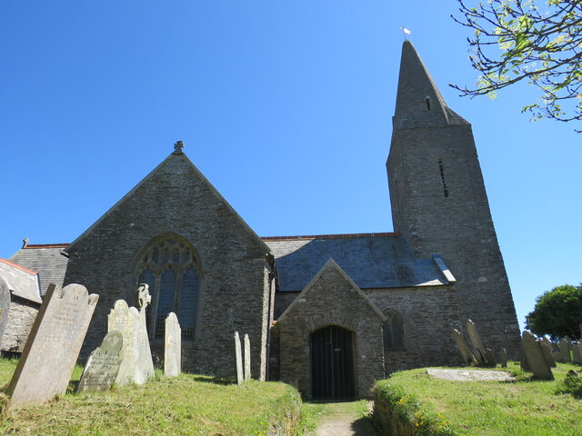
Rame, Maker-with-Rame

Rame (Cornish: Hordh) is a village and former civil parish, now in the parish of Maker-with-Rame, in the Cornwall district, in the ceremonial county of...

St Andrew's Church, Cawsand

St Andrew's Church is a Church of England church in Cawsand, Cornwall, England, UK. The church was built in 1877–78 and has been Grade II listed since...

Cawsand

Cawsand (Cornish: Porthbugh; lit. Cow Cove) and Kingsand (Cornish: Porthruw) are twin villages in southeast Cornwall, England, United Kingdom. The village...

Rame Peninsula

The Rame Peninsula (Cornish: Gorenys an Ros) is a peninsula in south-east Cornwall. It is surrounded by the English Channel to the south, Plymouth Sound...

Nearby Amenities

Located within 500m of 50.331033,-4.2131014
Barrier: kissing_gate
Lat/Long: 50.3322808/-4.2064649
Barrier: kissing_gate
Lat/Long: 50.3322976/-4.2063991
Barrier: stile
Material: wood
Step Count: 2
Stile: stepover
Lat/Long: 50.3322534/-4.2065721
Barrier: kissing_gate
Lat/Long: 50.3324688/-4.211726
Booth: K6
Covered: booth
Disused Amenity: telephone
Man Made: telephone_box
Lat/Long: 50.331255/-4.206095
Post Box
Brand: Royal Mail
Brand Wikidata: Q638098
Brand Wikipedia: en:Royal Mail
Collection Times: Mo-Fr 09:45; Sa 08:00; Su off
Operator: Royal Mail
Operator Wikidata: Q638098
Post Box Design: type_c
Post Box Mounting: stone_wall
Post Box Type: wall
Ref: PL10 790
Royal Cypher: EVIIR
Royal Cypher Wikidata: Q33102324
Source: survey;streetlevel imagery;aerial imagery
Survey Date: 2022-02-20
Lat/Long: 50.3297825/-4.2108557
Passing Place
Lat/Long: 50.3320371/-4.2117495
Power: pole
Lat/Long: 50.3305819/-4.2108429
Power: pole
Lat/Long: 50.3307515/-4.211331
Power: pole
Lat/Long: 50.3308816/-4.212192
Power: pole
Lat/Long: 50.3310391/-4.2134795
Power: pole
Lat/Long: 50.3311966/-4.2146543
Power: pole
Lat/Long: 50.3320065/-4.2156413
Power: pole
Lat/Long: 50.3326554/-4.2164406
Power: pole
Lat/Long: 50.3336313/-4.2176449
Power: pole
Lat/Long: 50.3281702/-4.2076738
Power: pole
Lat/Long: 50.3269417/-4.2143968
Power: pole
Lat/Long: 50.3279177/-4.2085201
Power: pole
Lat/Long: 50.3293423/-4.2088527
Power: pole
Lat/Long: 50.3299724/-4.2089975
Material: wood
Power: pole
Lat/Long: 50.3306795/-4.2091423
Power: pole
Lat/Long: 50.3312155/-4.2092603
Power: pole
Lat/Long: 50.3317497/-4.2086595
Power: pole
Lat/Long: 50.3322633/-4.2080694
Power: pole
Lat/Long: 50.3326639/-4.2076188
Power: pole
Lat/Long: 50.3330081/-4.207246
The data included in this document is from www.openstreetmap.org. The data is made available under ODbL.

Have you been to Coombe Bottoms?

Leave your review of Coombe Bottoms below (or comments, questions and feedback).