Cox Cliff
Cliff, Slope in Devon North Devon
England
Cox Cliff
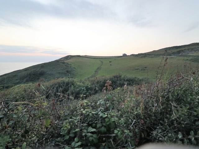
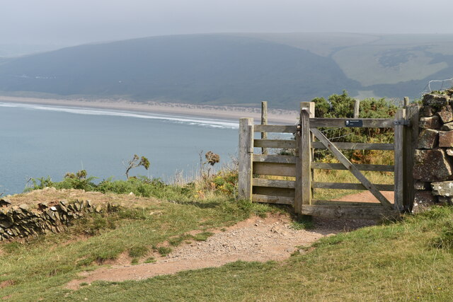
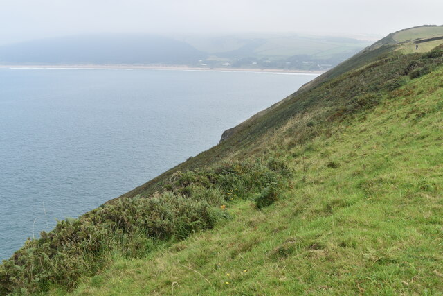
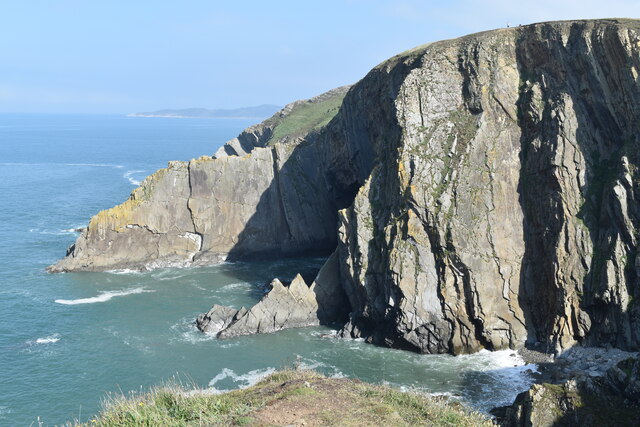
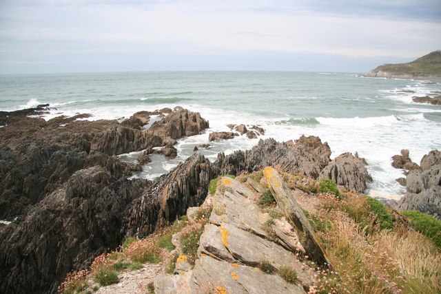
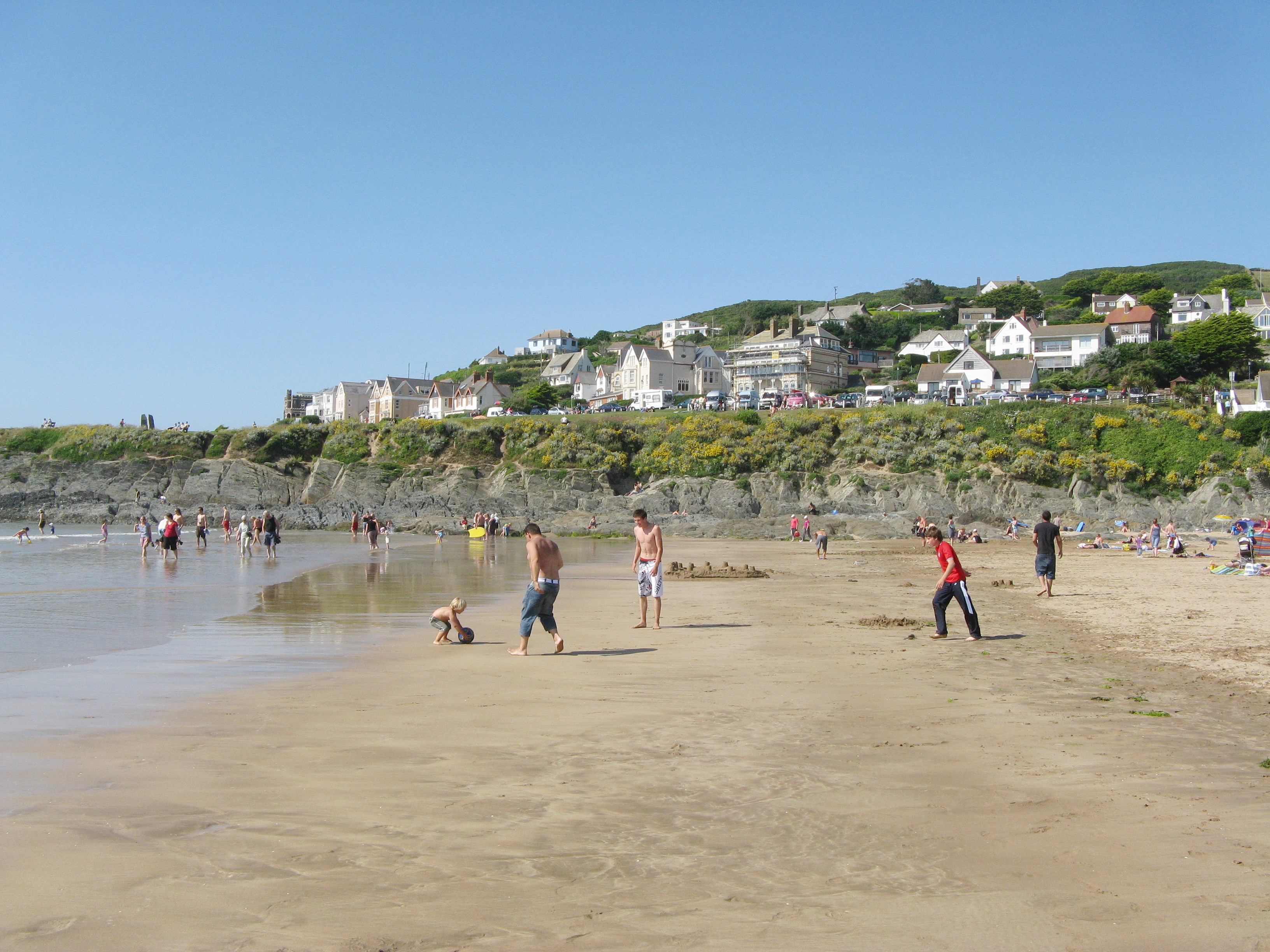
Cox Cliff is a notable geographical feature located in Devon, a county in southwest England. This cliff, also referred to as Cox Tor, is part of Dartmoor National Park and is known for its stunning natural beauty and historical significance.
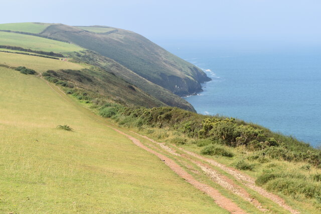
Situated near the village of Mary Tavy, Cox Cliff stands at an elevation of approximately 442 meters (1,450 feet) above sea level. It is characterized by its steep slope, rugged terrain, and rocky outcrops, making it a popular destination for hikers, climbers, and nature enthusiasts.
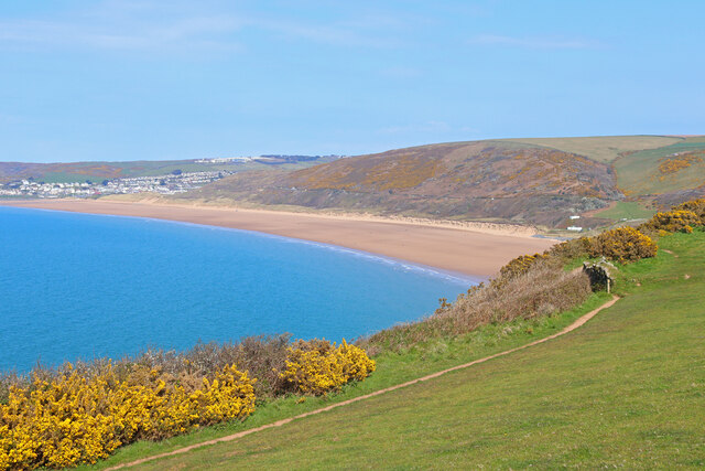
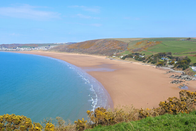
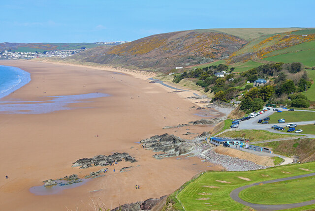
The cliff offers breathtaking panoramic views of the surrounding landscape, including the rolling hills, moorland, and the nearby Tavy Cleave. On a clear day, visitors can often see as far as Cornwall and the English Channel from the summit.
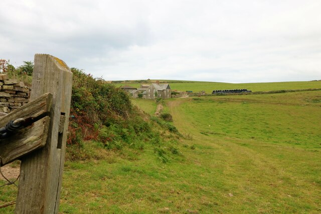
Cox Cliff holds historical significance, with evidence of Bronze Age settlements and ancient burial sites found in the area. The cliff was also used as a granite quarry in the past, contributing to the construction of local buildings and landmarks.
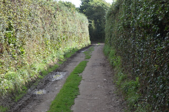
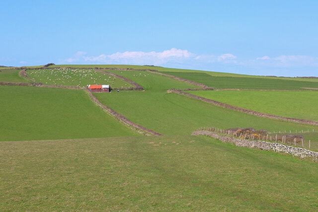
Visitors to Cox Cliff can access it via well-maintained footpaths and trails, which offer a range of difficulty levels for different hiking abilities. The area is abundant in flora and fauna, with wild ponies and sheep often grazing in the surrounding moorland.
Overall, Cox Cliff is a visually striking and historically rich destination within Dartmoor National Park, attracting visitors who seek to immerse themselves in the natural beauty and cultural heritage of Devon's landscape.
If you have any feedback on the listing, please let us know in the comments section below.
Cox Cliff Images
Images are sourced within 2km of 51.145347/-4.2475357 or Grid Reference SS4240. Thanks to Geograph Open Source API. All images are credited.


Cox Cliff is located at Grid Ref: SS4240 (Lat: 51.145347, Lng: -4.2475357)
Administrative County: Devon
District: North Devon
Police Authority: Devon and Cornwall
What 3 Words
///eyeliner.memo.arranged. Near Braunton, Devon
Nearby Locations
Related Wikis

Baggy Point
Baggy Point is a headland in north Devon, England. It separates Croyde Bay and Morte Bay which includes the beaches of Woolacombe and Putsborough. There...

Putsborough
Putsborough is a hamlet in Georgeham Civil Parish on the west-facing coast of North Devon, England. It is about 3⁄4 mile (1.2 km) north of the village...
Morte Bay
Morte Bay is a bay on the northwest coast of Devon in southwest England. It stretches from Whiting Hole about 500m north of Baggy Point in the south to...
Croyde
Croyde is a village on the west-facing coastline of North Devon, England. The village lies on the South West Coast Path near to Baggy Point, which is owned...
Pickwell, Devon
Pickwell is a small settlement with a converted manor house in the civil parish of Georgeham, in the North Devon district, in the county of Devon, England...
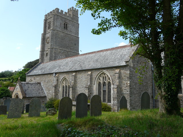
St George's Church, Georgeham
St George's Church is the Anglican parish church for the village of Georgeham in Devon. Dedicated to Saint George, the 13th-century church comes under...
Woolacombe
Woolacombe () is a seaside resort on the coast of North Devon, England, which lies at the mouth of a valley (or "combe") in the parish of Mortehoe. The...
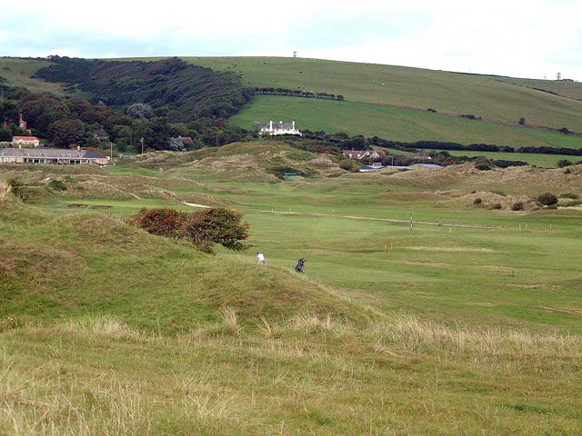
Saunton Golf Club
Saunton Golf Club is a private golf club in England, that is located about 2 miles (3 km) to the west of Braunton, Devon. It was founded in 1897. During...
Nearby Amenities
Located within 500m of 51.145347,-4.2475357Have you been to Cox Cliff?
Leave your review of Cox Cliff below (or comments, questions and feedback).