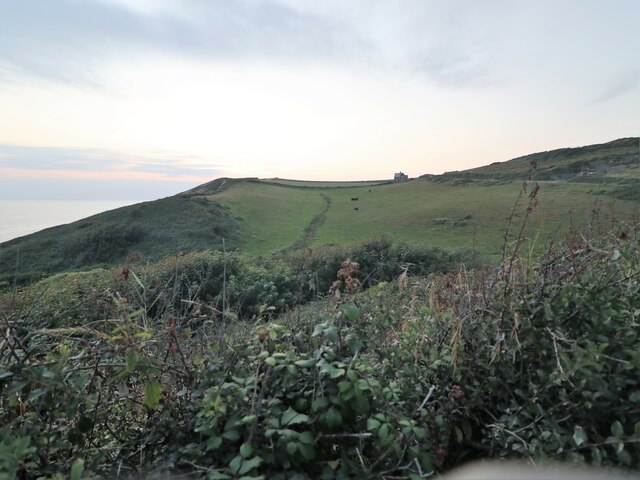
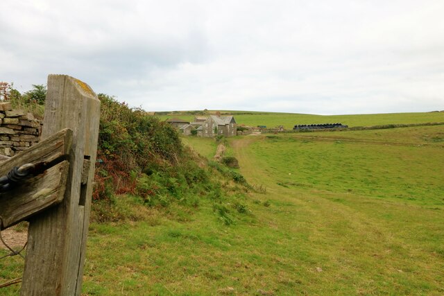
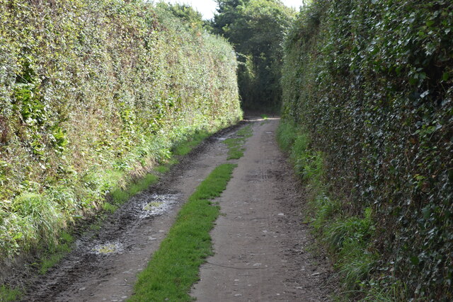
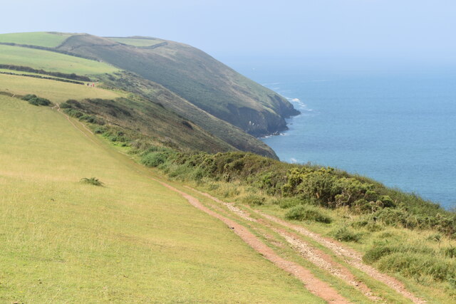
Freshwater Gut

Sea, Estuary, Creek in Devon North Devon

England

Freshwater Gut

Croydehoe Farm Farmhouse near Baggy Point
Croydehoe Farm Credit: Richard Gadsby

The requested URL returned error: 429 Too Many Requests

If you have any feedback on the listing, please let us know in the comments section below.

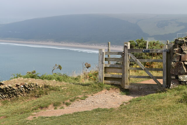
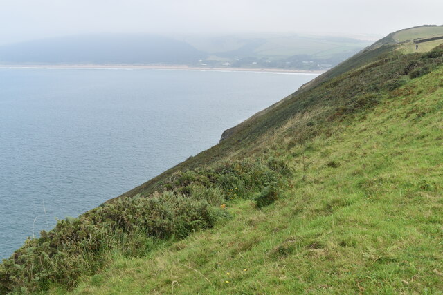
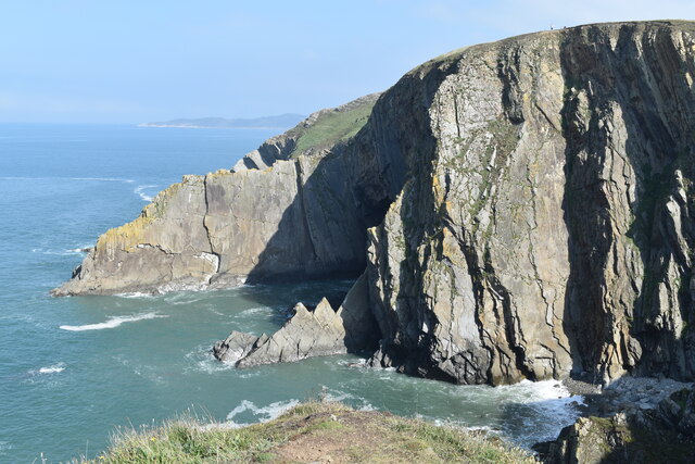
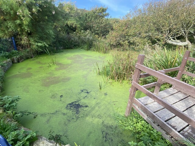
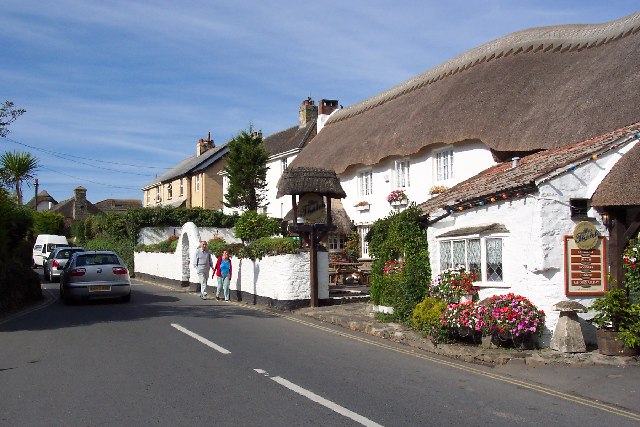
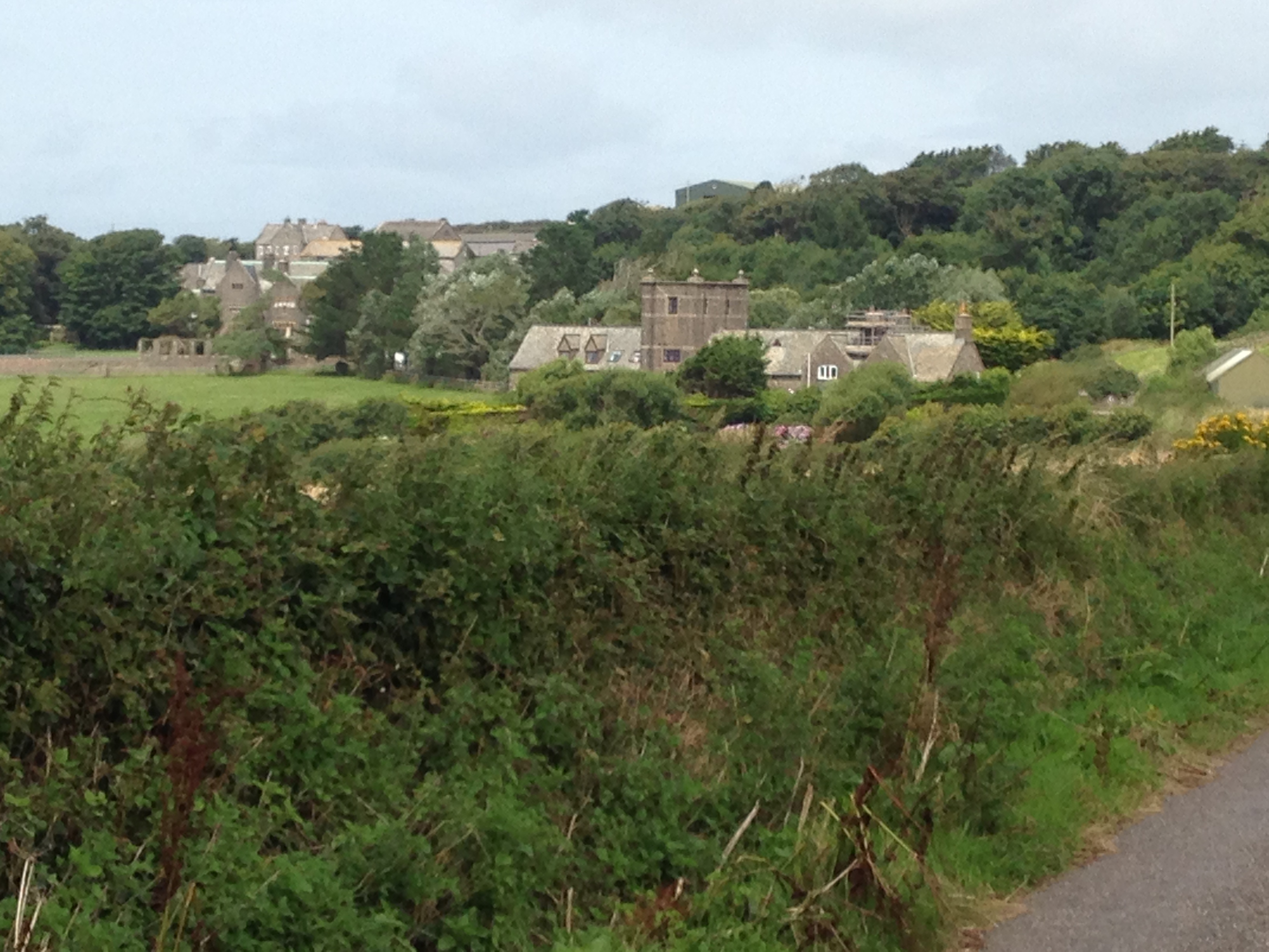
Freshwater Gut Images

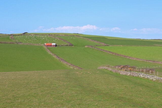
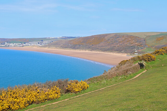
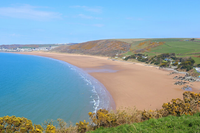
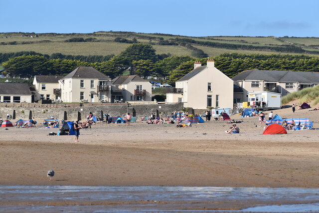
Images are sourced within 2km of 51.137858/-4.2492448 or Grid Reference SS4240. Thanks to Geograph Open Source API. All images are credited.

Croydehoe Farm Farmhouse near Baggy Point
Croydehoe Farm
Farmhouse near Baggy Point
The Path to Baggy Point Popular cliff edge path to Baggy Point.
The Path to Baggy Point
Popular cliff edge path to Baggy Point.
Croydehoe Farm Farmhouse near Baggy Point
Croydehoe Farm
Farmhouse near Baggy Point
Broadway Lane Footpath on track between high hedges.
Broadway Lane
Footpath on track between high hedges.
South West Coast Path towards Baggy Point
Gate with a view Gate on South West Coast Path with the southern end of Morte Bay in the distance.
Gate with a view
Gate on South West Coast Path with the southern end of Morte Bay in the distance.
Cliff top south of Morte Bay
On Baggy Point, looking inland
Baggy Point
Baggy Point
Cliffs at Baggy Point
Shore below Pencil Rock
Rocky shore below the path to Baggy Point
Pond with viewing platform By the coastal path to Baggy Point.
Pond with viewing platform
By the coastal path to Baggy Point.
Field Barn Fields overlooking Croyde.
Field Barn
Fields overlooking Croyde.
Woolacombe Bay From near the South West Coast Path.
Woolacombe Bay
From near the South West Coast Path.
Woolacombe Bay South West Coast Path overlooking Woolacombe Bay.
Woolacombe Bay
South West Coast Path overlooking Woolacombe Bay.
Putsborough sand Seen from the South West Coast Path.
Putsborough sand
Seen from the South West Coast Path.
On the beach at Croyde
Show me another place!

Freshwater Gut is located at Grid Ref: SS4240 (Lat: 51.137858, Lng: -4.2492448)

Administrative County: Devon

District: North Devon

Police Authority: Devon and Cornwall

What 3 Words

///growth.cobble.audio. Near Braunton, Devon

Related Wikis

Baggy Point

Baggy Point is a headland in north Devon, England. It separates Croyde Bay and Morte Bay which includes the beaches of Woolacombe and Putsborough. There...

Putsborough

Putsborough is a hamlet in Georgeham Civil Parish on the west-facing coast of North Devon, England. It is about 3⁄4 mile (1.2 km) north of the village...

Croyde

Croyde is a village on the west-facing coastline of North Devon, England. The village lies on the South West Coast Path near to Baggy Point, which is owned...

Pickwell, Devon

Pickwell is a small settlement with a converted manor house in the civil parish of Georgeham, in the North Devon district, in the county of Devon, England...

Nearby Amenities

Located within 500m of 51.137858,-4.2492448
Source: PGS
Lat/Long: 51.1392293/-4.2556687
Source: PGS
Lat/Long: 51.1393489/-4.2553424
Source: PGS
Lat/Long: 51.1390524/-4.2546707
Source: PGS
Lat/Long: 51.1389938/-4.2543691
Source: PGS
Lat/Long: 51.138789/-4.2543148
Source: PGS
Lat/Long: 51.1386282/-4.2540523
Source: PGS
Lat/Long: 51.1385709/-4.2524553
Source: PGS
Lat/Long: 51.1385702/-4.2522776
Source: PGS
Lat/Long: 51.1380178/-4.251854
Source: PGS
Lat/Long: 51.1380769/-4.2512865
Source: PGS
Lat/Long: 51.1380402/-4.2508892
Source: PGS
Lat/Long: 51.13796/-4.2507938
Source: PGS
Lat/Long: 51.1377036/-4.2507833
Source: PGS
Lat/Long: 51.1376046/-4.2506975
Source: PGS
Lat/Long: 51.1372743/-4.2521588
Source: PGS
Lat/Long: 51.1363722/-4.2497772
Source: PGS
Lat/Long: 51.1362922/-4.2492102
Source: PGS
Lat/Long: 51.1364206/-4.2481179
Source: PGS
Lat/Long: 51.1363779/-4.2480958
Source: PGS
Lat/Long: 51.1360015/-4.2485603
Source: PGS
Lat/Long: 51.1352821/-4.247205
Source: PGS
Lat/Long: 51.1348227/-4.2465686
Source: PGS
Lat/Long: 51.134365/-4.2457728
Source: PGS
Lat/Long: 51.1342385/-4.2457339
Source: PGS
Lat/Long: 51.1342351/-4.2455541
Source: PGS
Lat/Long: 51.1341061/-4.2453936
Source: PGS
Lat/Long: 51.1364286/-4.2479641
Croydehoe Farm
Place: locality
Lat/Long: 51.1413237/-4.2512072
Barrier: stile
Lat/Long: 51.1408742/-4.2484717
Baggy Point Studio
Name En: Baggy Point Studio
Tourism: chalet
Lat/Long: 51.1374422/-4.2465775
Bench
Backrest: no
Material: wood
Lat/Long: 51.1368817/-4.2436766
Bench
Backrest: no
Material: wood
Lat/Long: 51.1386934/-4.2485869
Hiking: yes
Image: https://archive.org/details/baggy-point-2021-09-10/PXL_20210910_130856212.jpg
Information: guidepost
Operator: National Trust
Tourism: information
Lat/Long: 51.1397193/-4.2518679
Bench
Backrest: no
Material: wood
Lat/Long: 51.138714/-4.2507819
Hiking: yes
Information: guidepost
Operator: National Trust
Tourism: information
Lat/Long: 51.138503/-4.2495203
Donation Box
Donation Box Type: pillar
Operator: National Trust
Payment Coins: only
Lat/Long: 51.1386389/-4.2490191
Attraction: whale_bones
Image: https://archive.org/details/baggy-point-2021-09-10/PXL_20210910_123514740.jpg
Note: Not quite sure what the best tags are for this
Operator: National Trust
Tourism: attraction
Lat/Long: 51.136893/-4.2465508
Barrier: bollard
Foot: yes
Lat/Long: 51.1366963/-4.2463486
Baggy Point Pond
Information: board
Tourism: information
Lat/Long: 51.13869/-4.2486878
Bench
Source: survey;gps
Lat/Long: 51.138333/-4.24843
The data included in this document is from www.openstreetmap.org. The data is made available under ODbL.

Have you been to Freshwater Gut?

Leave your review of Freshwater Gut below (or comments, questions and feedback).