Amory Bight
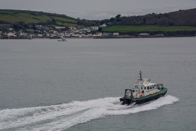
Sea, Estuary, Creek in Cornwall
England
Amory Bight
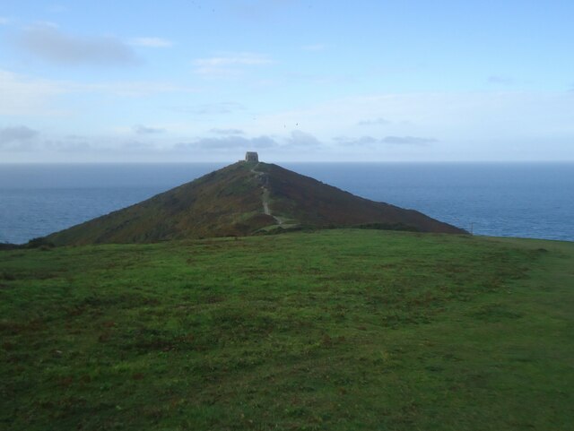
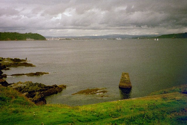
Amory Bight is a picturesque coastal region located in Cornwall, England. Situated along the southwestern coast, it is renowned for its stunning natural beauty, featuring a combination of sea, estuary, and creek landscapes.
The Bight is characterized by its pristine sandy beaches, which stretch along the coastline, offering visitors a place to relax and soak up the sun. The crystal-clear waters of the sea are perfect for swimming, and the area is also popular for various water sports, such as surfing, sailing, and kayaking.
One of the main attractions of Amory Bight is its estuary, which provides a unique ecosystem that supports a diverse range of wildlife. The estuary is formed where the river meets the sea, creating a mix of saltwater and freshwater environments. This makes it an ideal habitat for numerous bird species, such as herons, egrets, and oystercatchers. Nature enthusiasts can explore the estuary on foot along the many trails, or by boat, offering a chance to observe the wildlife up close.
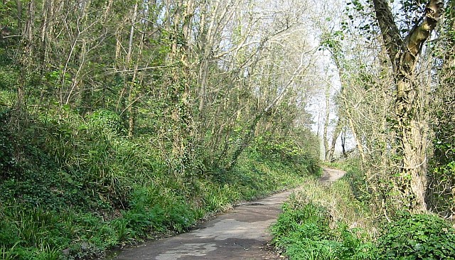
Additionally, the Bight is home to several creeks, which branch off from the main estuary. These creeks wind their way through the lush surrounding countryside, lined with dense vegetation and offering a tranquil setting for walking, fishing, or simply enjoying the peaceful atmosphere.
With its breathtaking natural scenery, diverse wildlife, and ample recreational opportunities, Amory Bight is a must-visit destination for nature lovers, outdoor enthusiasts, and those seeking a relaxing coastal retreat in Cornwall.
If you have any feedback on the listing, please let us know in the comments section below.
Amory Bight Images
Images are sourced within 2km of 50.318174/-4.2082194 or Grid Reference SX4248. Thanks to Geograph Open Source API. All images are credited.

Amory Bight is located at Grid Ref: SX4248 (Lat: 50.318174, Lng: -4.2082194)
Unitary Authority: Cornwall
Police Authority: Devon and Cornwall
What 3 Words
///headlight.burden.crust. Near Millbrook, Cornwall
Nearby Locations
Related Wikis

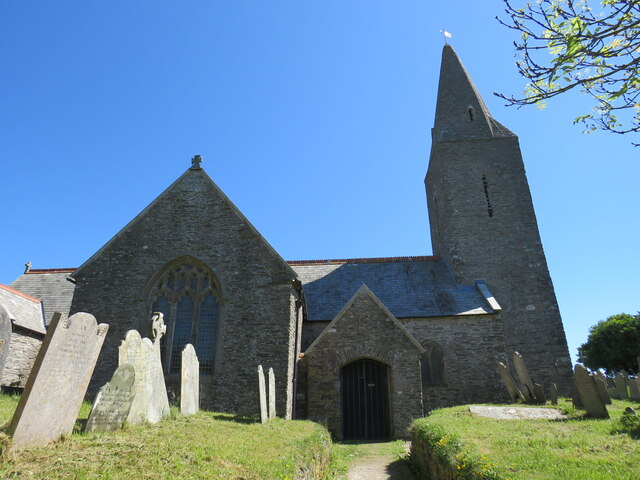
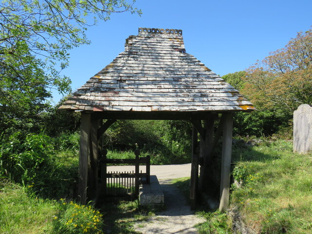
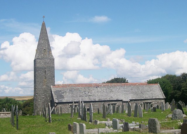
St Germanus' Church, Rame
St Germanus' Church is a Church of England church in Rame, Cornwall, England, UK. Much of the existing church dates to the 13th and 15th centuries. It...

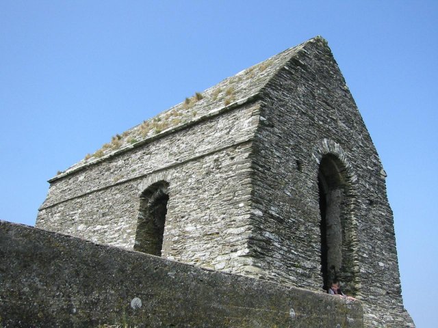
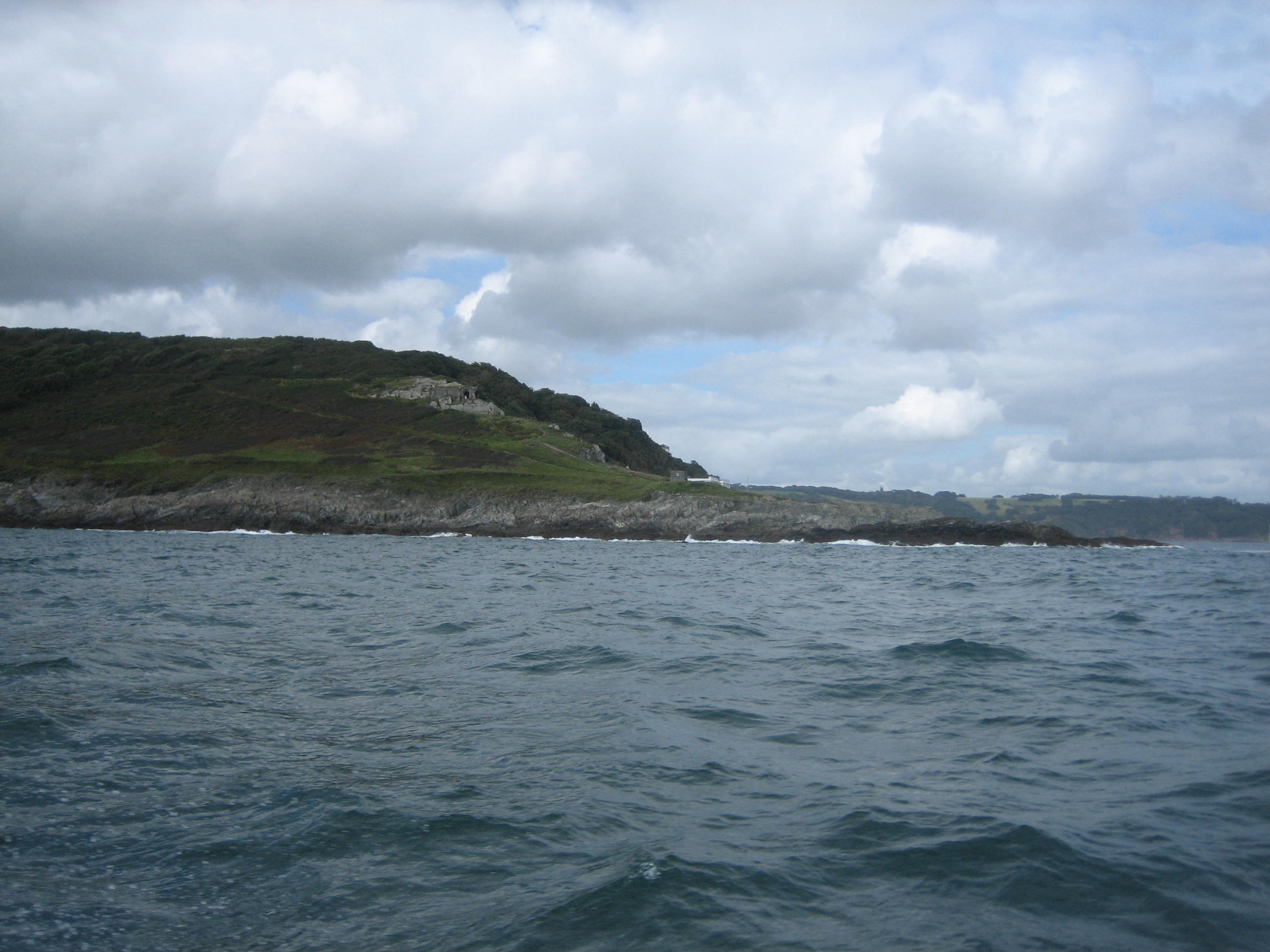
Rame Church Battery
Rame Church Battery was a gun battery in south east Cornwall. It was built between 1889 and 1893 to defend HMNB Devonport from Rame area and was demolished...
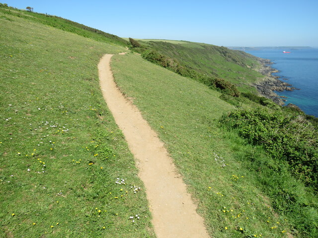
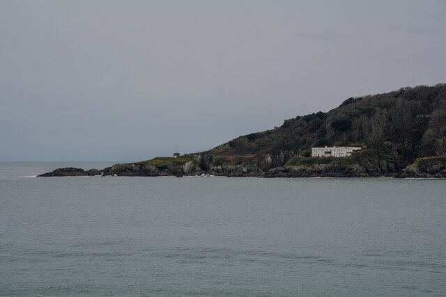
Rame Peninsula
The Rame Peninsula (Cornish: Gorenys an Ros) is a peninsula in south-east Cornwall. The peninsula is surrounded by the English Channel to the south, Plymouth...

Rame, Maker-with-Rame
Rame (Cornish: Hordh) is a village and former civil parish, now in the parish of Maker-with-Rame, in the Cornwall district, in the ceremonial county of...

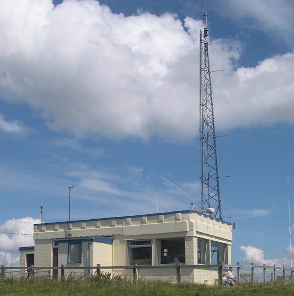
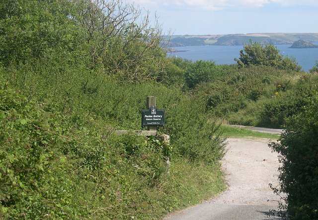
Penlee Battery
Penlee Battery is a nature reserve lying on the coastal headland of Penlee Point on the Rame Peninsula, in southeast Cornwall, England. The site was formerly...

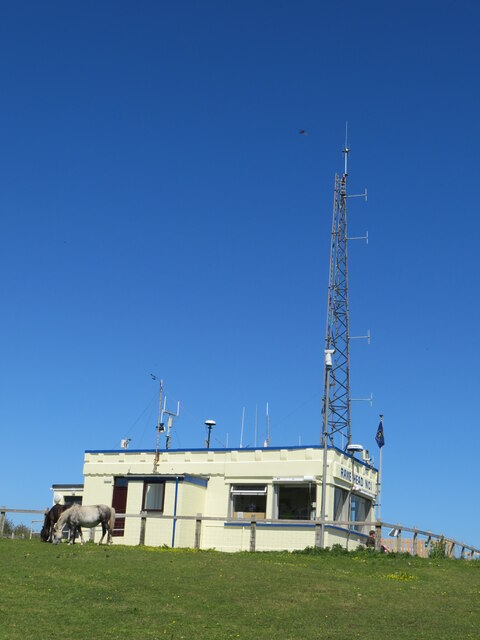
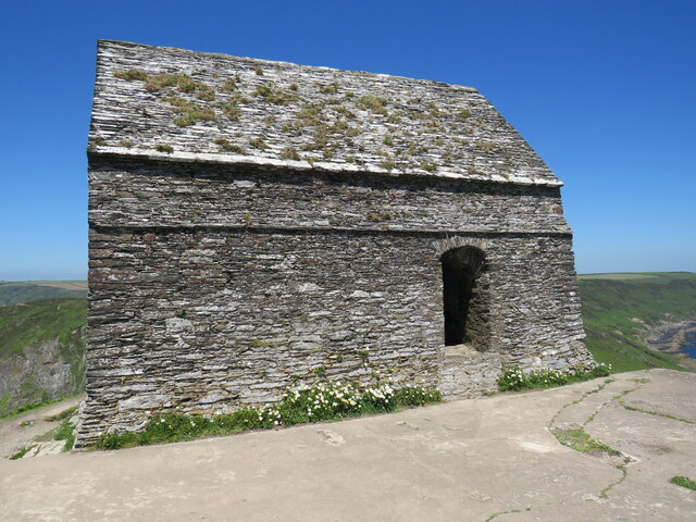
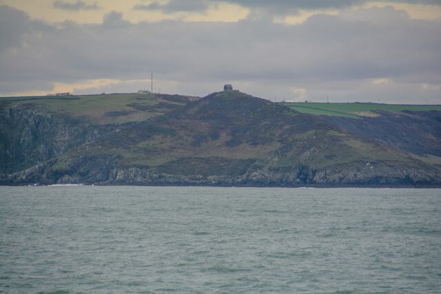
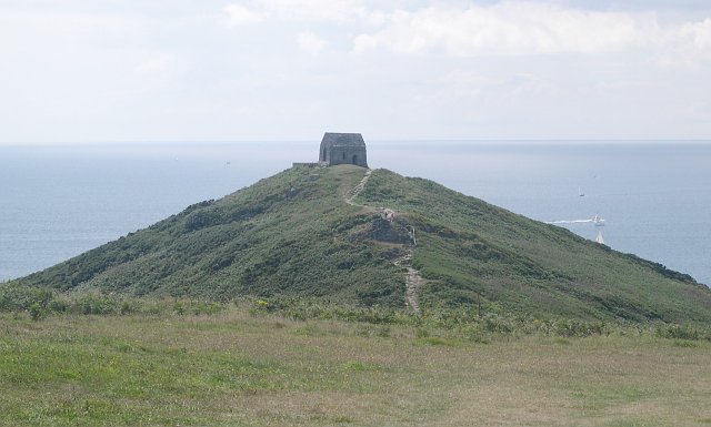
Rame Head
Rame Head or Ram Head (Cornish: Penn an Hordh) is a coastal headland, southwest of the village of Rame in southeast Cornwall, England, United Kingdom....
Penlee Point, Rame
Penlee Point (Cornish: Penn Legh, meaning ‘stone-slab headland’) is a coastal headland to the southeast of the village of Rame in southeast Cornwall, UK...

Cawsand Bay
Cawsand Bay is a bay on the southeast coast of Cornwall, England, United Kingdom.The bay takes its name from the village of Cawsand at grid reference SX...
Nearby Amenities
Located within 500m of 50.318174,-4.2082194Have you been to Amory Bight?
Leave your review of Amory Bight below (or comments, questions and feedback).