Bull Cove
Sea, Estuary, Creek in Cornwall
England
Bull Cove
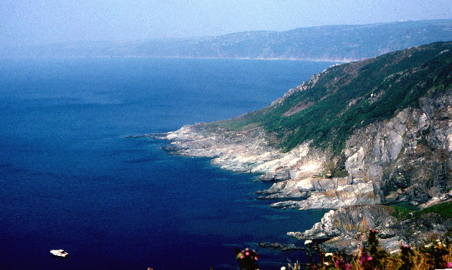
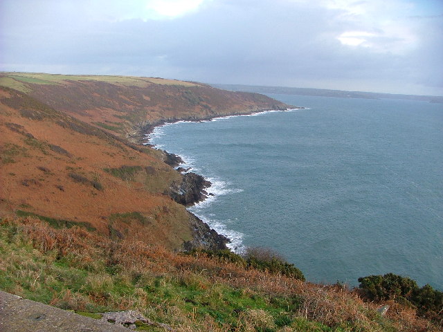
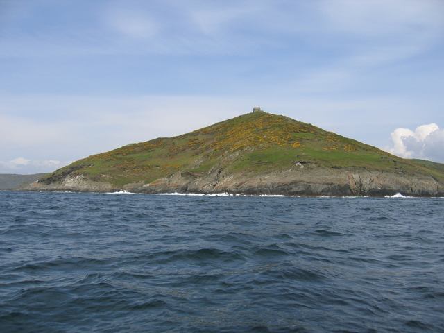
Bull Cove is a picturesque coastal area located in Cornwall, England. Nestled between towering cliffs, it offers a stunning view of the sea, estuary, and creek all in one place. This makes it a popular destination for nature enthusiasts and photographers who are drawn to its natural beauty.
The cove is known for its crystal-clear turquoise waters that are perfect for swimming and snorkeling. The sea here is relatively calm, making it safe for families with children to enjoy a day on the beach. The soft sand is ideal for sunbathing or building sandcastles, while the surrounding cliffs provide a sense of seclusion and privacy.
At low tide, the estuary reveals itself, creating a mesmerizing landscape. It is home to a diverse range of marine life, including crabs, starfish, and various species of fish. This makes Bull Cove a popular spot for fishing and crabbing, with locals and visitors alike trying their luck at catching their dinner.
A narrow creek winds its way through the cove, offering opportunities for kayaking and paddleboarding. The calm waters and stunning scenery make it a serene and peaceful experience, allowing visitors to immerse themselves in the surrounding nature.
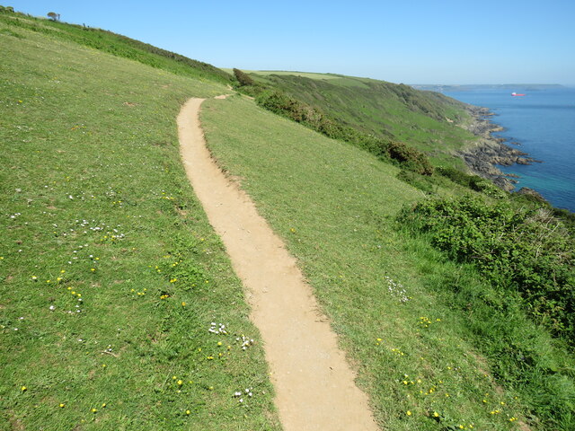
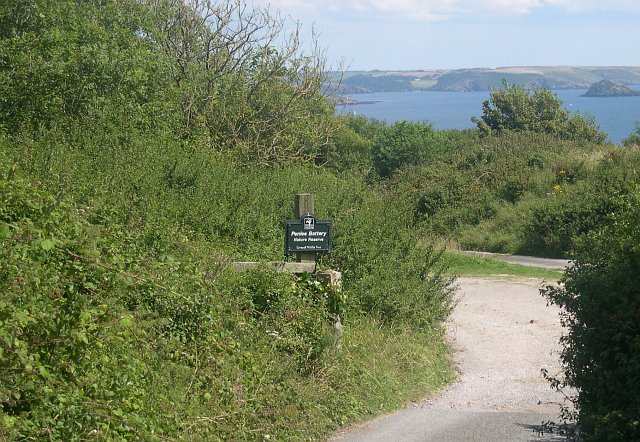
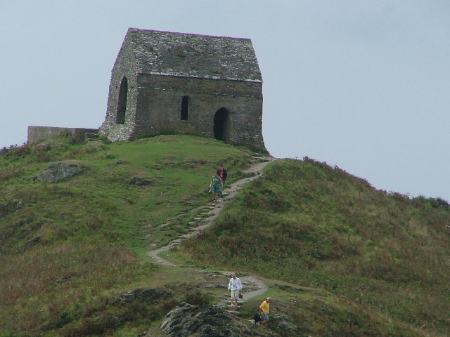
The area surrounding Bull Cove is rich in wildlife, with seabirds soaring overhead and occasional sightings of seals and dolphins. Exploring the coastal paths and cliff-top walks is a must for those seeking a closer encounter with nature.
Overall, Bull Cove in Cornwall is a breathtaking place that encompasses the beauty of the sea, estuary, and creek. Its tranquil atmosphere, diverse marine life, and stunning vistas make it a must-visit destination for anyone seeking a seaside escape.
If you have any feedback on the listing, please let us know in the comments section below.
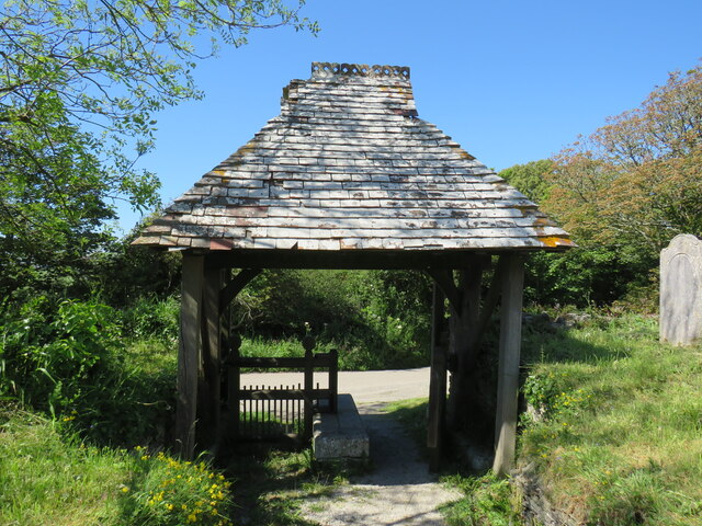
Bull Cove Images
Images are sourced within 2km of 50.314945/-4.2181413 or Grid Reference SX4248. Thanks to Geograph Open Source API. All images are credited.
Bull Cove is located at Grid Ref: SX4248 (Lat: 50.314945, Lng: -4.2181413)
Unitary Authority: Cornwall
Police Authority: Devon and Cornwall
What 3 Words
///teaching.innocence.roadmap. Near Millbrook, Cornwall
Nearby Locations
Related Wikis

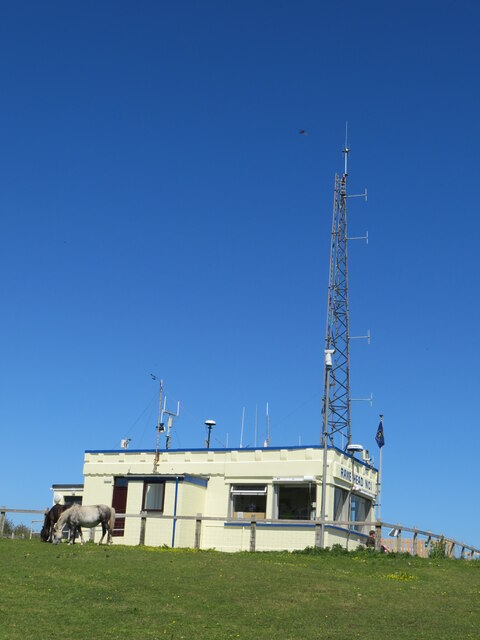
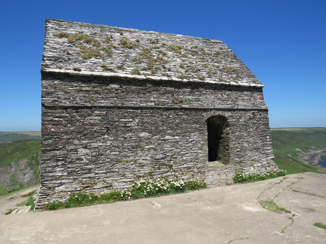
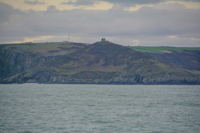
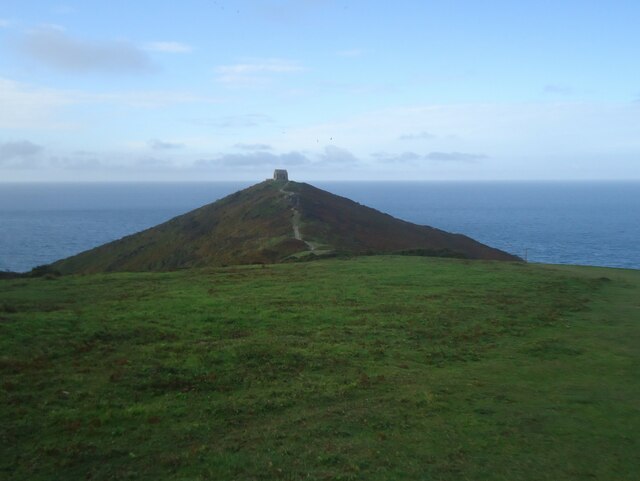
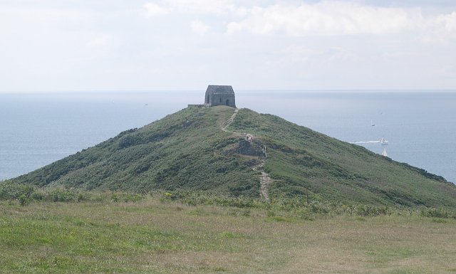
Rame Head
Rame Head or Ram Head (Cornish: Penn an Hordh) is a coastal headland, southwest of the village of Rame in southeast Cornwall, England, United Kingdom....

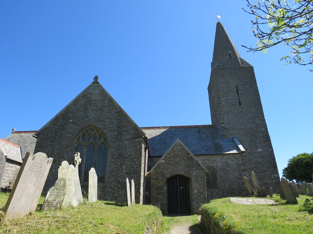
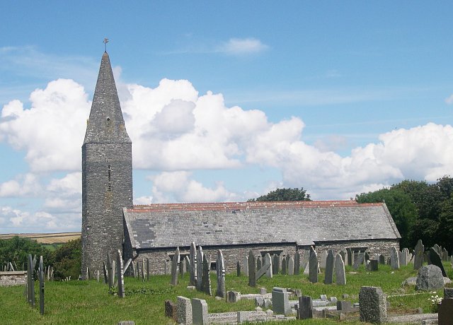
St Germanus' Church, Rame
St Germanus' Church is a Church of England church in Rame, Cornwall, England, UK. Much of the existing church dates to the 13th and 15th centuries. It...

Rame Peninsula
The Rame Peninsula (Cornish: Gorenys an Ros) is a peninsula in south-east Cornwall. It is surrounded by the English Channel to the south, Plymouth Sound...
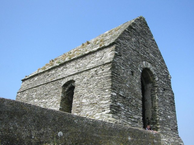
Rame Church Battery
Rame Church Battery was a gun battery in south east Cornwall. It was built between 1889 and 1893 to defend HMNB Devonport from Rame area and was demolished...
Nearby Amenities
Located within 500m of 50.314945,-4.2181413Have you been to Bull Cove?
Leave your review of Bull Cove below (or comments, questions and feedback).