Wiggle Sandway
Cliff, Slope in Cornwall
England
Wiggle Sandway
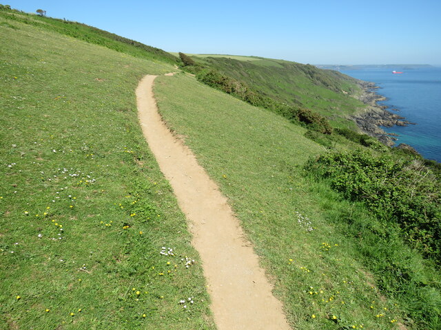
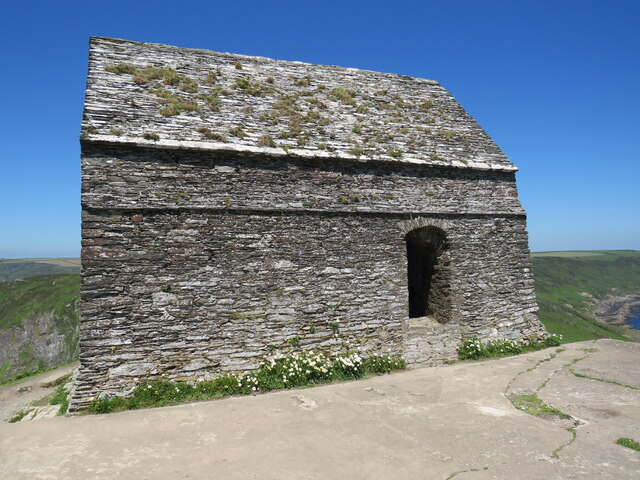
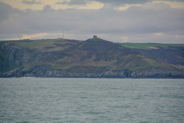
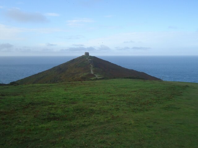
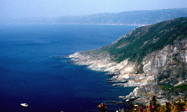
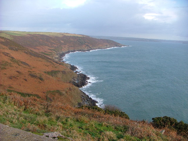
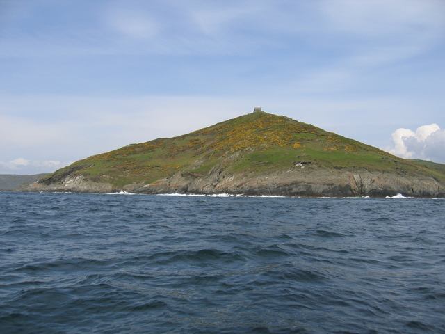
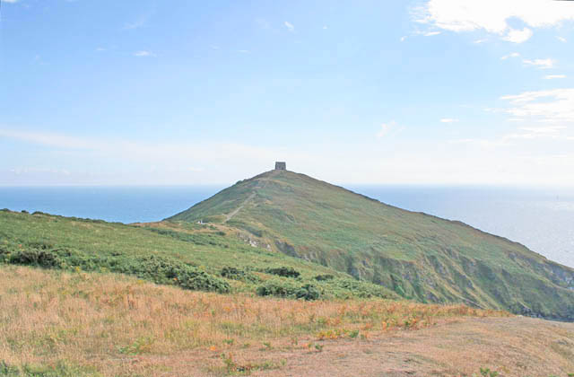
Wiggle Sandway is a stunning cliff and slope located in Cornwall, England. Situated in the picturesque coastal town of Sandway, this natural marvel attracts countless visitors every year. The cliff is characterized by its unique wavy formation, which gives it its name and sets it apart from other cliffs in the area.
Standing tall at an impressive height of approximately 100 feet, Wiggle Sandway offers breathtaking panoramic views of the surrounding coastline and the vast expanse of the Atlantic Ocean. The cliff is composed of layers of sedimentary rocks, showcasing a fascinating geological history that stretches back millions of years.
The slope of Wiggle Sandway is steep and challenging, making it a popular spot for adrenaline junkies and adventure enthusiasts. It is a haven for rock climbers, who are drawn to its rugged terrain and the thrill of scaling its imposing height. The cliff also provides opportunities for hiking and nature walks, with several well-marked trails leading to the top.
The area surrounding Wiggle Sandway is rich in biodiversity, with a diverse array of flora and fauna. Visitors can spot various seabirds nesting on the cliff's ledges, and if lucky, they might catch a glimpse of dolphins or seals frolicking in the ocean below.
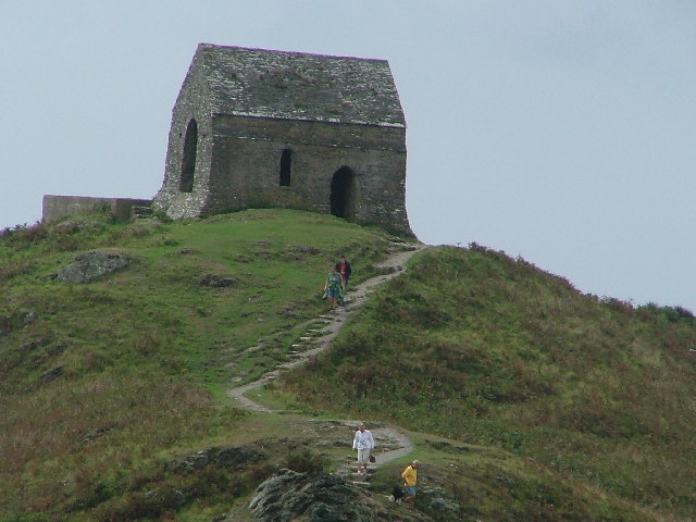
Wiggle Sandway is not only a natural wonder but also a place of historical significance. It has been a site of archaeological interest, with ancient artifacts and evidence of human settlements dating back to prehistoric times discovered in the area.
Whether it's the allure of its striking beauty, the thrill of adventure, or the desire to immerse oneself in nature's wonders, Wiggle Sandway is a must-visit destination for nature lovers and explorers alike.
If you have any feedback on the listing, please let us know in the comments section below.
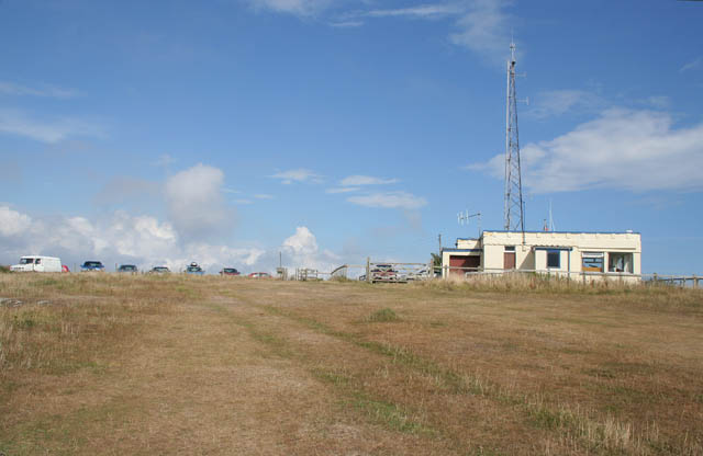
Wiggle Sandway Images
Images are sourced within 2km of 50.328794/-4.2229735 or Grid Reference SX4150. Thanks to Geograph Open Source API. All images are credited.
Wiggle Sandway is located at Grid Ref: SX4150 (Lat: 50.328794, Lng: -4.2229735)
Unitary Authority: Cornwall
Police Authority: Devon and Cornwall
What 3 Words
///doses.conspire.video. Near Millbrook, Cornwall
Nearby Locations
Related Wikis

Rame, Maker-with-Rame
Rame (Cornish: Hordh) is a village and former civil parish, now in the parish of Maker-with-Rame, in the Cornwall district, in the ceremonial county of...

Rame Peninsula
The Rame Peninsula (Cornish: Gorenys an Ros) is a peninsula in south-east Cornwall. It is surrounded by the English Channel to the south, Plymouth Sound...

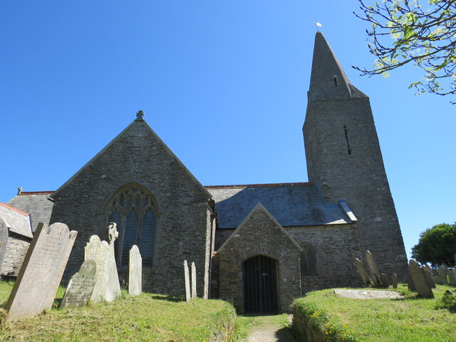
St Germanus' Church, Rame
St Germanus' Church is a Church of England church in Rame, Cornwall, England, UK. Much of the existing church dates to the 13th and 15th centuries. It...
Rame Church Battery
Rame Church Battery was a gun battery in south east Cornwall. It was built between 1889 and 1893 to defend HMNB Devonport from Rame area and was demolished...
Nearby Amenities
Located within 500m of 50.328794,-4.2229735Have you been to Wiggle Sandway?
Leave your review of Wiggle Sandway below (or comments, questions and feedback).