Hatling Fawr
Cliff, Slope in Cardiganshire
Wales
Hatling Fawr
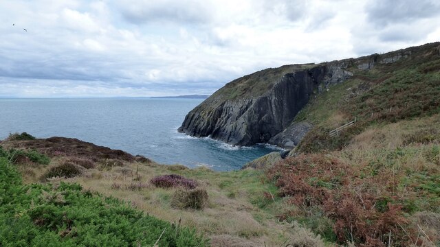
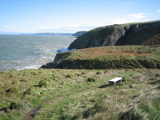
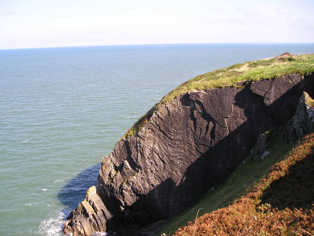
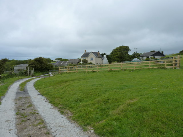
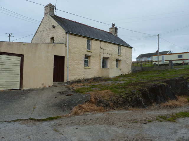
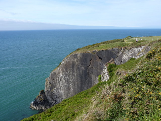
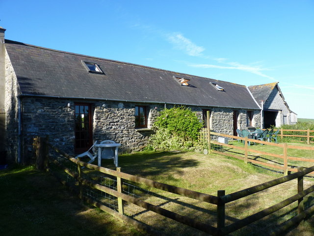
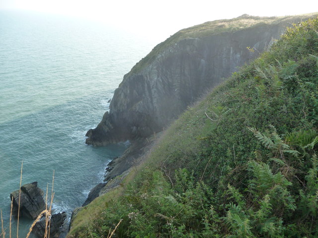
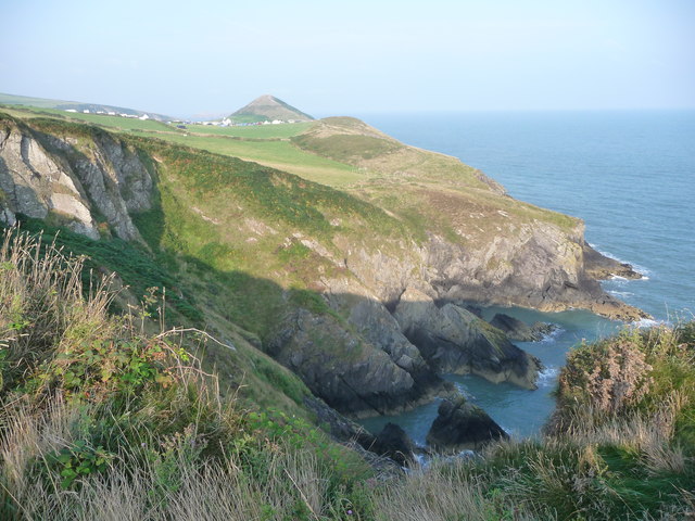
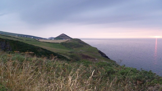
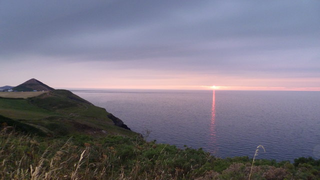
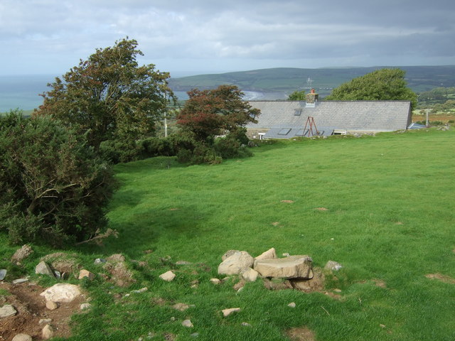
Hatling Fawr is a prominent geological feature located in the county of Cardiganshire, Wales. It is a steep cliff and slope that stretches along the western coast of the county, facing the Irish Sea. With its rugged terrain and breathtaking views, Hatling Fawr is a popular destination for nature enthusiasts and outdoor adventurers.
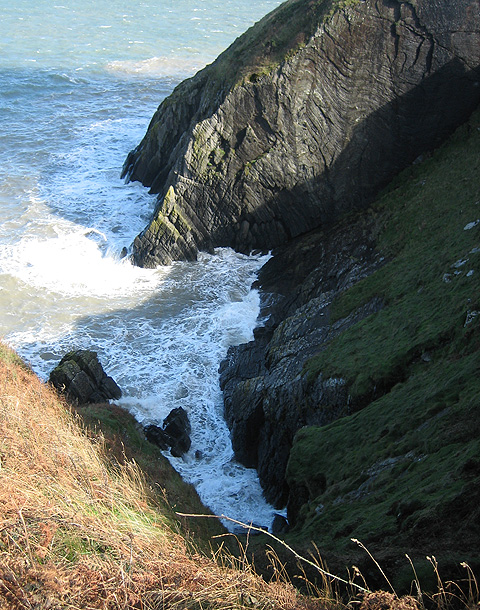
The cliff at Hatling Fawr is composed mainly of sedimentary rocks, such as sandstone and shale, which have been formed over millions of years. These rocks exhibit distinct layers and formations, reflecting the geological history of the area. The varying colors and textures of the rocks add to the visual appeal of the cliff.
The slope of Hatling Fawr is characterized by its steepness and uneven terrain. It is covered in lush vegetation, including grasses, shrubs, and wildflowers, creating a vibrant and picturesque landscape. The slope gradually descends towards the shoreline, where it meets the crashing waves of the Irish Sea.
The coastal location of Hatling Fawr makes it an ideal spot for bird-watching, as various species of seabirds can be observed nesting and soaring above the cliffs. The area is also home to a diverse range of plant and animal life, including rare species that thrive in the unique microclimate offered by the cliff and slope.
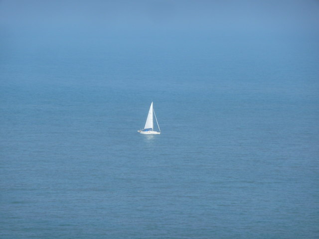
Visitors to Hatling Fawr can enjoy activities such as hiking, rock climbing, and photography. The cliff provides stunning panoramic views of the surrounding coastline, and on clear days, visitors can even catch glimpses of distant islands dotting the horizon.
In conclusion, Hatling Fawr is a remarkable geological formation in Cardiganshire, offering a blend of natural beauty and outdoor adventure. Its striking cliff and slope, diverse wildlife, and breathtaking views make it a must-visit destination for nature lovers and explorers alike.
If you have any feedback on the listing, please let us know in the comments section below.
Hatling Fawr Images
Images are sourced within 2km of 52.133648/-4.6489444 or Grid Reference SN1851. Thanks to Geograph Open Source API. All images are credited.

Hatling Fawr is located at Grid Ref: SN1851 (Lat: 52.133648, Lng: -4.6489444)
Unitary Authority: Ceredigion
Police Authority: Dyfed Powys
What 3 Words
///riverbank.tailors.asked. Near Cardigan, Ceredigion
Nearby Locations
Related Wikis

Mwnt
Mwnt (Welsh: [ˈmʊnt]) is an ancient parish in Ceredigion, Wales, 4.5 miles (7.2 km) north of Cardigan. The Wales Coast Path passes through this very small...

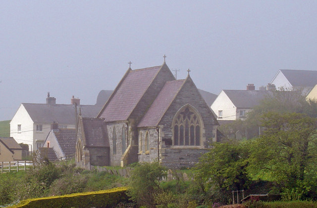
Church of the Holy Cross, Mwnt
The Church of the Holy Cross (Welsh: Eglwys y Grog) at Mwnt, Ceredigion, Wales, is a parish church and Grade I listed building dating probably from the...
Y Ferwig
Y Ferwig (sometimes spelled Verwig) is a small village and community about 2 to 3 miles from Cardigan, Wales. == Amenities == The village is made up of...

Cardigan Island
Cardigan Island (Welsh: Ynys Aberteifi) is an uninhabited island north of Cardigan, Ceredigion, south-west Wales. It reaches a height of 52 metres (171...

Gwbert
Gwbert (Welsh pronunciation: [ˈɡubɛrt]), also known as Gwbert-on-Sea, is a cliff-top coastal village in Y Ferwig community, Ceredigion, Wales. It lies...

Banc y Mwldan
Banc y Mwldan is a Site of Special Scientific Interest in Ceredigion, west Wales. == References == == See also == List of Sites of Special Scientific...
Pen-rhiw
Pen-rhiw (sometimes spelt "Penrhiw") is a hamlet in the community of Y Ferwig, Ceredigion, Wales, which is 74.8 miles (120.4 km) from Cardiff and 195.2...
Penparc
Penparc (also known as Penyparc) is a village in Ceredigion, Wales, on the A487 road 3 miles (4.8 km) northeast of Cardigan. The surrounding land is principally...
Nearby Amenities
Located within 500m of 52.133648,-4.6489444Have you been to Hatling Fawr?
Leave your review of Hatling Fawr below (or comments, questions and feedback).