Creag Mhic Iain

Cliff, Slope in Sutherland

Scotland

Creag Mhic Iain

Trig point at Cnoc Poll a' Mhurain Pink-tinged rock plates supporting the pillar which has no flush bracket.
Trig point at Cnoc Poll a' Mhurain Credit: Trevor Littlewood

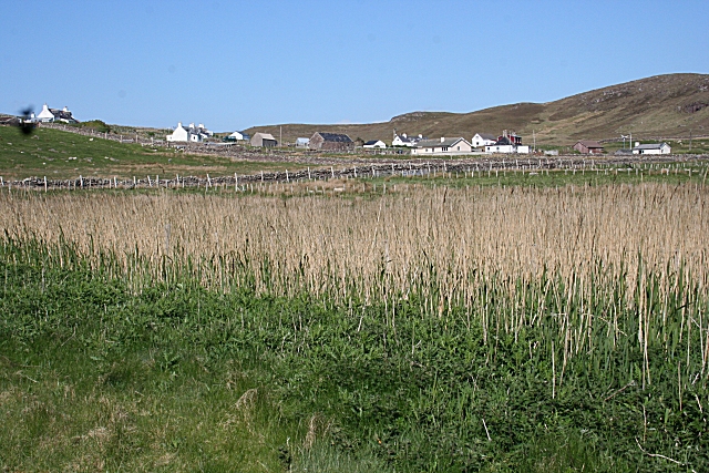
Creag Mhic Iain is a prominent cliff located in Sutherland, a county in the Highland region of Scotland. It is situated on the west coast of the county, overlooking the North Atlantic Ocean. The name "Creag Mhic Iain" translates to "Cliff of John's son" in English.

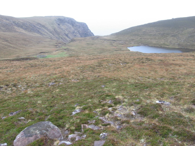
This cliff is known for its striking and rugged appearance, with its sheer vertical face rising dramatically from the sea below. It is made up of layers of ancient rock, which have been shaped by erosion over millions of years. The cliff stands at an impressive height of around 200 meters (656 feet), making it an imposing sight for visitors.

Creag Mhic Iain is a popular destination for outdoor enthusiasts and nature lovers. Hikers and climbers are drawn to the challenge of scaling its steep slopes, while photographers are captivated by the breathtaking views from its summit. The cliff is also home to a variety of bird species, including puffins, guillemots, and razorbills, making it a haven for birdwatchers.

In addition to its natural beauty, Creag Mhic Iain holds historical significance. It is believed to have been a landmark for sailors and fishermen in the past, serving as a navigational point along the treacherous coastline. The cliff's name may be linked to a local legend or historical figure, adding to its mystique.

Overall, Creag Mhic Iain is an awe-inspiring natural feature, offering a combination of stunning scenery, recreational opportunities, and cultural heritage.

If you have any feedback on the listing, please let us know in the comments section below.

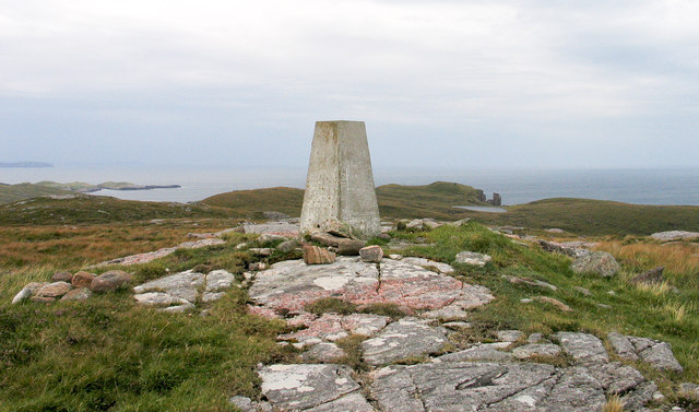
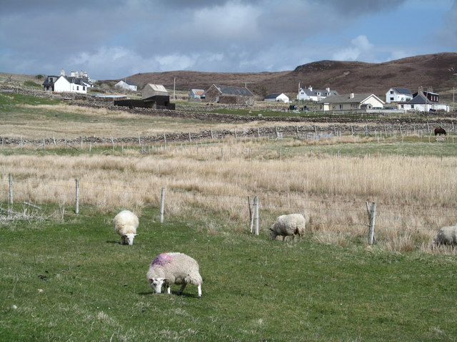
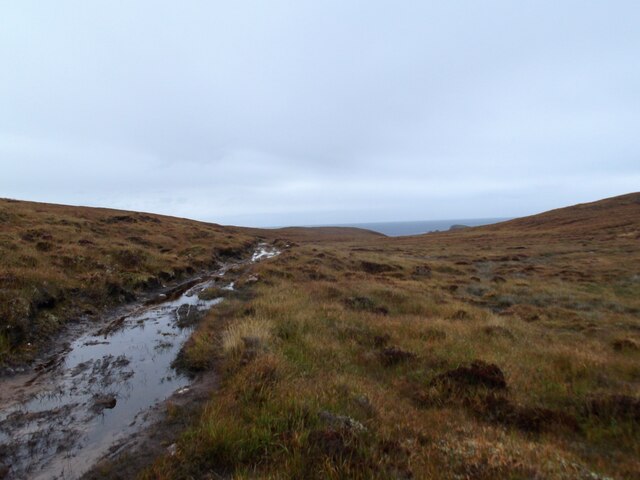
Creag Mhic Iain Images

Images are sourced within 2km of 58.507221/-5.1159012 or Grid Reference NC1861. Thanks to Geograph Open Source API. All images are credited.

Trig point at Cnoc Poll a' Mhurain Pink-tinged rock plates supporting the pillar which has no flush bracket.
Trig point at Cnoc Poll a' Mhurain
Pink-tinged rock plates supporting the pillar which has no flush bracket.
Sheigra Sheep grazing below the small community of Sheigra at the very end of the road from Kinlochbervie.
Sheigra
Sheep grazing below the small community of Sheigra at the very end of the road from Kinlochbervie.
Outbuilding, Balchrick
Near the end of the Peat Road
Cnoc Poll a' Mhurain
Na Stacain A large cairn on the top
Na Stacain
A large cairn on the top
Cliffs near Sheigra Rather more challenging than I anticipated to get into this square!
Cliffs near Sheigra
Rather more challenging than I anticipated to get into this square!
Cnoc Poll a' Mhurain Trig Point This trig point is unusual in that it has no flush bracket.
Cnoc Poll a' Mhurain Trig Point
This trig point is unusual in that it has no flush bracket.
Track to Sheigra
Track to Sheigra
Cnoc Poll a' Mhurain trig point
Moorland at Leathad a' Phuirt Bhig
Loch a' Chreadha
Loch a' Chreadha
Track to Blairmore
Track to Blairmore
Rubha a'Mhill Ghlaise These rocks are the only land in this square. They are Lewisian gneiss.
Rubha a'Mhill Ghlaise
These rocks are the only land in this square. They are Lewisian gneiss.
Fractured Granite These rocks are ancient granites, intruded into the Lewisian Gneiss some 1700 million years ago. They are fractured and jointed, and their surfaces have been ground smooth by the passage of glaciers during various ice ages.
Fractured Granite
These rocks are ancient granites, intruded into the Lewisian Gneiss some 1700 million years ago. They are fractured and jointed, and their surfaces have been ground smooth by the passage of glaciers during various ice ages.
Geodh on Rubha a'Mhill Ghlaise This deep gully may mark the line of a fault in the Lewisian gneiss.
Geodh on Rubha a'Mhill Ghlaise
This deep gully may mark the line of a fault in the Lewisian gneiss.
Sheigra This is the very end of the road, and is sheltered from the open sea by the ridge of Lewisian gneiss which runs down to Rubha a'Mhill Ghlaise on the west side of its bay.
Sheigra
This is the very end of the road, and is sheltered from the open sea by the ridge of Lewisian gneiss which runs down to Rubha a'Mhill Ghlaise on the west side of its bay.
Show me another place!

Creag Mhic Iain is located at Grid Ref: NC1861 (Lat: 58.507221, Lng: -5.1159012)

Unitary Authority: Highland

Police Authority: Highlands and Islands

What 3 Words

///regaining.cable.armrest. Near Oldshoremore, Highland

Related Wikis

Sheigra

Sheigra or Shegra is a small holiday settlement on the east coast of the Tongue district of Sutherland in the Highland council area in Scotland. It is...

Balchrick

Balchrick (Scottish Gaelic: Baile a' Chnuic) is a township on the north east shore of Lairg in Sutherland, Scottish Highlands and is in the Scottish council...

Droman, Sutherland

Droman is a small remote crofting township on the north west coast of Lairg in Sutherland, Scottish Highlands and is in the Scottish council area of Highland...

Blairmore, Sutherland

Blairmore is a small remote crofting hamlet, on the north west coast of Lairg in Sutherland, Scottish Highlands and is in the Scottish council area of...

Nearby Amenities

Located within 500m of 58.507221,-5.1159012
Source: PGS
Lat/Long: 58.5097104/-5.119563
Source: PGS
Lat/Long: 58.509713/-5.1181891
Source: PGS
Lat/Long: 58.5078408/-5.1171448
Source: PGS
Lat/Long: 58.50725/-5.1164217
Source: PGS
Lat/Long: 58.5068935/-5.1160046
The data included in this document is from www.openstreetmap.org. The data is made available under ODbL.

Have you been to Creag Mhic Iain?

Leave your review of Creag Mhic Iain below (or comments, questions and feedback).