Lower Bosistow Cliff

Cliff, Slope in Cornwall

England

Lower Bosistow Cliff

View towards Greeb Farm
View towards Greeb Farm Credit: thejackrustles

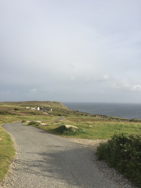
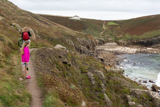
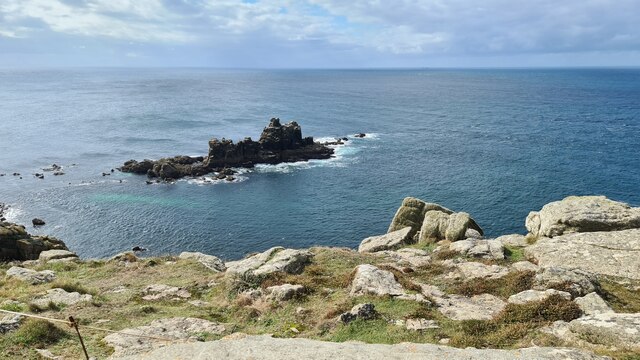
Lower Bosistow Cliff is a prominent coastal feature located in the southwestern region of Cornwall, England. This magnificent cliff is situated near the village of St. Just, within the Cornwall Area of Outstanding Natural Beauty. It stretches for about 1.5 kilometers along the rugged coastline of the Atlantic Ocean.

The cliff rises to an impressive height of approximately 70 meters above sea level, offering breathtaking panoramic views of the surrounding landscape. Its unique geological composition includes granite, schist, and gneiss, which have been shaped over millions of years by the relentless forces of the sea and weathering.

Lower Bosistow Cliff is renowned for its dramatic and picturesque scenery, attracting nature enthusiasts, hikers, and photographers from all over. The cliff offers a challenging yet rewarding terrain for adventurous explorers and provides a habitat for various bird species, including seabirds like gannets, fulmars, and razorbills.

The cliff is part of the South West Coast Path, a long-distance hiking trail that stretches along the entirety of Cornwall's coastline. This makes it a popular destination for walkers seeking to experience the beauty of the region. However, caution is advised when walking near the cliff edge due to the steep slopes and potentially unstable ground.

The surrounding area also boasts an abundance of wildlife and flora, with heathland and grassland habitats supporting a diverse range of plant species. Visitors to Lower Bosistow Cliff can witness a stunning array of wildflowers, including sea thrift, heather, and various orchids, during the spring and summer months.

In summary, Lower Bosistow Cliff is a magnificent and captivating natural attraction in Cornwall, offering awe-inspiring views, diverse wildlife, and a challenging terrain for outdoor enthusiasts.

If you have any feedback on the listing, please let us know in the comments section below.

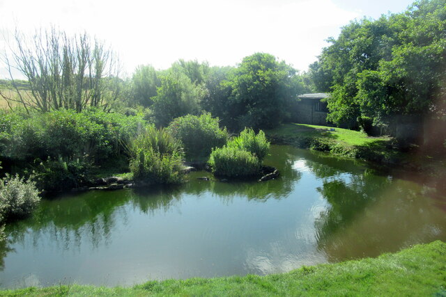
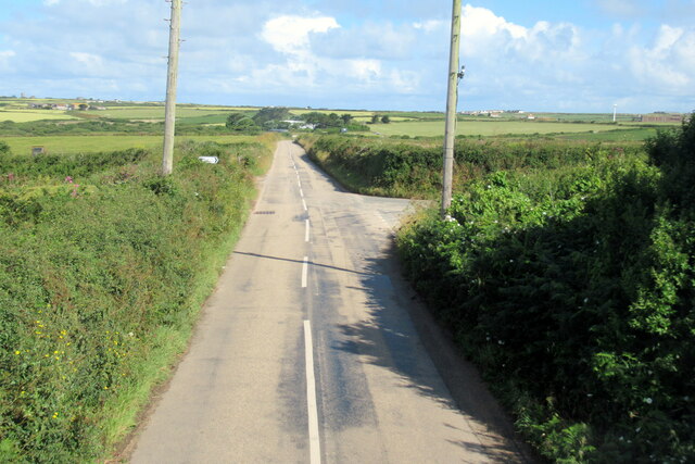
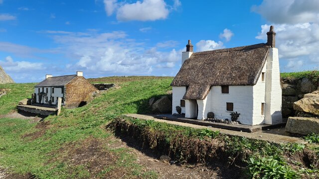
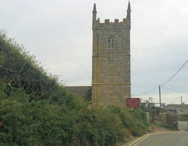
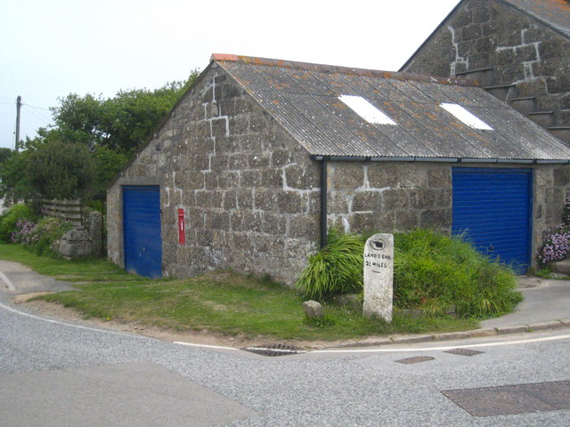
Lower Bosistow Cliff Images

Images are sourced within 2km of 50.054361/-5.6930062 or Grid Reference SW3523. Thanks to Geograph Open Source API. All images are credited.

View towards Greeb Farm
The First and Last Inn, Sennan
Sennen Church - corner of tower Cut benchmark on this corner

<span class="nowrap"><a title="https://www.bench-marks.org.uk/bm51379" rel="nofollow ugc noopener" href="https://www.bench-marks.org.uk/bm51379">Link</a><img style="margin-left:2px;" alt="External link" title="External link - shift click to open in new window" src="https://s1.geograph.org.uk/img/external.png" width="10" height="10"/></span>
Sennen Church - corner of tower
Cut benchmark on this corner LinkExternal link
Lower Bosistow Cliff path approaching Nanjizal Beach
The B3315 at Polgigga village sign
Polgigga village pond
The B3315 at junction for Trebehor
Model cottages Made by Leslie Caswell in the 1970s and brought to Lands End in 1994, typical of real cottages in Cornwall around 1900. 1/10 size of real cottages.
Model cottages
Made by Leslie Caswell in the 1970s and brought to Lands End in 1994, typical of real cottages in Cornwall around 1900. 1/10 size of real cottages.
Armed Knight
Armed Knight
Path below Lands End Hotel
St Sennen's Church
St Sennen's Church
Looking towards Greeb Farm and Craftworks, Land's End
Lands End
Lands End
Looking towards Enis Dodnan, Lands End
The stream at Greeb Farm, Lands End
Milestone on the bend at Polgigga On the B3315, which runs from Newlyn to Land's End.
Milestone on the bend at Polgigga
On the B3315, which runs from Newlyn to Land's End.
Coastline between Pordenack Point and Land's End The nearer island is named Enys Dodnan, the further Armed Knight.  The buildings at Land's End are on the skyline, just in the next square.
Coastline between Pordenack Point and Land's End
The nearer island is named Enys Dodnan, the further Armed Knight. The buildings at Land's End are on the skyline, just in the next square.
Land's End : Car Park Road A road beside the car park which is £3 for the day.
Land's End : Car Park Road
A road beside the car park which is £3 for the day.
Show me another place!

Lower Bosistow Cliff is located at Grid Ref: SW3523 (Lat: 50.054361, Lng: -5.6930062)

Unitary Authority: Cornwall

Police Authority: Devon and Cornwall

What 3 Words

///newsprint.shaped.removable. Near Sennen, Cornwall

Related Wikis

Nanjizal

Nanjizal (Cornish: Porth Nansusel, meaning "cove of the howling valley"), also known as Mill Bay, is a beach and cove in the civil parish of St Levan,...

Trevescan

Trevescan is a hamlet in west Cornwall, England, United Kingdom. It is situated between the village of Sennen and the settlement at Land's End, 8 miles...

Porthgwarra to Pordenack Point

Porthgwarra to Pordenack Point is a coastal Site of Special Scientific Interest (SSSI) in west Cornwall, England, noted for its biological characteristics...

Skewjack

Skewjack is the name of a plot of land in west Cornwall, England, United Kingdom. It is situated about 1.5 miles (2 km) east of Land's End on the B3315...

Nearby Amenities

Located within 500m of 50.054361,-5.6930062
Source: PGS
Lat/Long: 50.054938/-5.696729
Source: PGS
Lat/Long: 50.05452/-5.6944494
Source: PGS
Lat/Long: 50.0537953/-5.6924039
Source: PGS
Lat/Long: 50.0535318/-5.6924918
Source: PGS
Lat/Long: 50.0533312/-5.6929605
Barrier: kissing_gate
Foot: yes
Lat/Long: 50.0530544/-5.6916918
Carn Lês Boel
Is In: Cornwall, England, UK
Place: locality
Source: OS 1:25k
Lat/Long: 50.0505969/-5.6945995
Zawn Pyg Rock Arch
Access: yes
Alt Name: Song of the Sea Rock Arch
Cave Difficulty: easy
Cave Size: small
Cave Through Trip: yes
Direction: 40
Ele: 0
Fee: no
Natural: cave_entrance
Lat/Long: 50.0528851/-5.6937785
Mill Bay or Nanjizal
Name Kw: Porth Nansisel
Natural: bay
Lat/Long: 50.0530443/-5.697673
Life Ring
Emergency: life_ring
Survey Date: 2022-07-03
Lat/Long: 50.0535539/-5.6922395
Barrier: stile
Lat/Long: 50.0545856/-5.6934518
Barrier: stile
Lat/Long: 50.0556704/-5.6989061
The data included in this document is from www.openstreetmap.org. The data is made available under ODbL.

Have you been to Lower Bosistow Cliff?

Leave your review of Lower Bosistow Cliff below (or comments, questions and feedback).