Zawn Peggy

Sea, Estuary, Creek in Cornwall

England

Zawn Peggy

View towards Greeb Farm
View towards Greeb Farm Credit: thejackrustles

The requested URL returned error: 429 Too Many Requests

If you have any feedback on the listing, please let us know in the comments section below.

Zawn Peggy Images

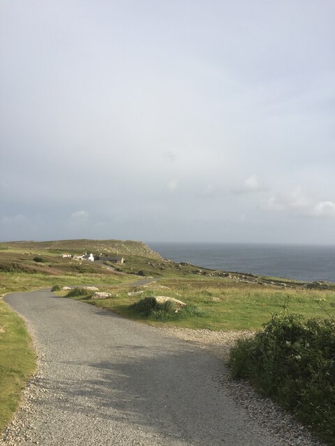
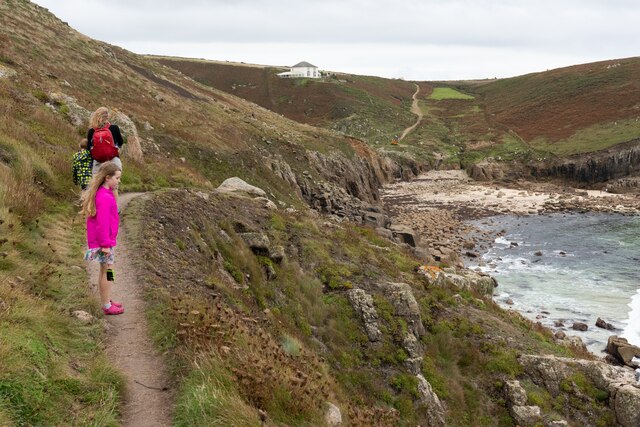
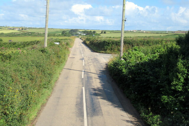
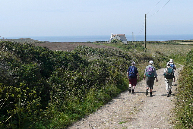
Images are sourced within 2km of 50.051198/-5.6939928 or Grid Reference SW3523. Thanks to Geograph Open Source API. All images are credited.

View towards Greeb Farm
Lower Bosistow Cliff path approaching Nanjizal Beach
The B3315 at junction for Trebehor
Looking towards Greeb Farm and Craftworks, Land's End
Lands End
Lands End
Looking towards Enis Dodnan, Lands End
The stream at Greeb Farm, Lands End
Coastline between Pordenack Point and Land's End The nearer island is named Enys Dodnan, the further Armed Knight.  The buildings at Land's End are on the skyline, just in the next square.
Coastline between Pordenack Point and Land's End
The nearer island is named Enys Dodnan, the further Armed Knight. The buildings at Land's End are on the skyline, just in the next square.
Penwith : Coastal Path The coastal path heads down the hillside before it goes right back up to the cliff tops again.
Penwith : Coastal Path
The coastal path heads down the hillside before it goes right back up to the cliff tops again.
Penwith : Cliff Tops From the top of the cliff overlooking the ocean and Armoured Knight rocks.
Penwith : Cliff Tops
From the top of the cliff overlooking the ocean and Armoured Knight rocks.
Penwith : Rocks on the cliff top These rocks have formed on the top of the cliffs near Land's End.
Penwith : Rocks on the cliff top
These rocks have formed on the top of the cliffs near Land's End.
Penwith : Cliffs & Coastline Looking across the coastline near Land's End.
Penwith : Cliffs & Coastline
Looking across the coastline near Land's End.
Penwith : Rocks & Buildings Looking back towards the buildings which are the Land's End tourist attraction.
Penwith : Rocks & Buildings
Looking back towards the buildings which are the Land's End tourist attraction.
Penwith : Marsh Area Apparently there is a little stream underneath the long grass.
Penwith : Marsh Area
Apparently there is a little stream underneath the long grass.
Misty bridge Footbridge at Land's End on a slightly misty day.
Misty bridge
Footbridge at Land's End on a slightly misty day.
Footpath west of Polgigga A group of walkers enjoys the straight, level and tarmaced sufrace of this footpath west of Polgigga, that leads towards Bosistow then Mill Bay.
Footpath west of Polgigga
A group of walkers enjoys the straight, level and tarmaced sufrace of this footpath west of Polgigga, that leads towards Bosistow then Mill Bay.
Lower Bosistow A lovely Georgian farmhouse on the way to Mill Bay.
Lower Bosistow
A lovely Georgian farmhouse on the way to Mill Bay.
Towards Bosistow Cliffs A group of walkers descends the track, a bridleway, from Higher Bosistow towards the coast at Carn Lês Boel.
Towards Bosistow Cliffs
A group of walkers descends the track, a bridleway, from Higher Bosistow towards the coast at Carn Lês Boel.
Show me another place!

Zawn Peggy is located at Grid Ref: SW3523 (Lat: 50.051198, Lng: -5.6939928)

Unitary Authority: Cornwall

Police Authority: Devon and Cornwall

What 3 Words

///yours.trendy.skidding. Near Sennen, Cornwall

Related Wikis

Nanjizal

Nanjizal (Cornish: Porth Nansusel, meaning "cove of the howling valley"), also known as Mill Bay, is a beach and cove in the civil parish of St Levan,...

Porthgwarra to Pordenack Point

Porthgwarra to Pordenack Point is a coastal Site of Special Scientific Interest (SSSI) in west Cornwall, England, noted for its biological characteristics...

Trevescan

Trevescan is a hamlet in west Cornwall, England, United Kingdom. It is situated between the village of Sennen and the settlement at Land's End, 8 miles...

Skewjack

Skewjack is the name of a plot of land in west Cornwall, England, United Kingdom. It is situated about 1.5 miles (2 km) east of Land's End on the B3315...

Nearby Amenities

Located within 500m of 50.051198,-5.6939928
Source: PGS
Lat/Long: 50.054938/-5.696729
Source: PGS
Lat/Long: 50.05452/-5.6944494
Source: PGS
Lat/Long: 50.0537953/-5.6924039
Source: PGS
Lat/Long: 50.0535318/-5.6924918
Source: PGS
Lat/Long: 50.0533312/-5.6929605
Barrier: kissing_gate
Foot: yes
Lat/Long: 50.0530544/-5.6916918
Carn Lês Boel
Is In: Cornwall, England, UK
Place: locality
Source: OS 1:25k
Lat/Long: 50.0505969/-5.6945995
Zawn Pyg Rock Arch
Access: yes
Alt Name: Song of the Sea Rock Arch
Cave Difficulty: easy
Cave Size: small
Cave Through Trip: yes
Direction: 40
Ele: 0
Fee: no
Natural: cave_entrance
Lat/Long: 50.0528851/-5.6937785
Mill Bay or Nanjizal
Name Kw: Porth Nansisel
Natural: bay
Lat/Long: 50.0530443/-5.697673
Life Ring
Emergency: life_ring
Survey Date: 2022-07-03
Lat/Long: 50.0535539/-5.6922395
Barrier: stile
Lat/Long: 50.0545856/-5.6934518
The data included in this document is from www.openstreetmap.org. The data is made available under ODbL.

Have you been to Zawn Peggy?

Leave your review of Zawn Peggy below (or comments, questions and feedback).