Carn Cravah
Coastal Feature, Headland, Point in Cornwall
England
Carn Cravah
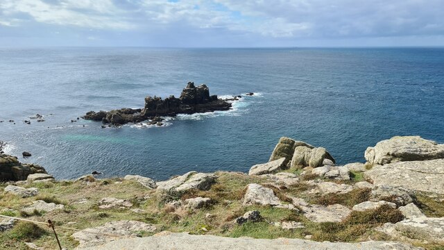
Carn Cravah is a prominent coastal feature located in Cornwall, England. Situated along the rugged coastline, it is a headland that juts out into the Atlantic Ocean, forming a distinctive point. The name Carn Cravah is derived from the Cornish language, with "carn" meaning rock and "cravah" translating to crow or raven.
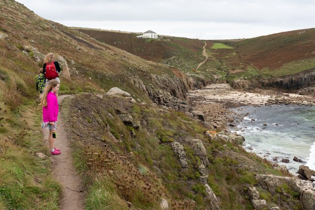
This headland is known for its dramatic cliffs that rise steeply from the sea, providing breathtaking views of the surrounding area. The cliffs at Carn Cravah are composed of rugged, weathered rocks, showcasing the region's geological history. The area is popular among hikers and nature enthusiasts who enjoy exploring the diverse coastal ecosystem and observing the abundant birdlife that nests on the cliffs.
Carn Cravah offers visitors a chance to experience the raw beauty of the Cornish coastline, with its wild, untamed landscape. The crashing waves below the cliffs create a mesmerizing soundscape, and during high tide, the spray can reach impressive heights. The headland also serves as a vantage point for watching the sunset, as the sun dips below the horizon, casting a golden glow over the ocean.
Additionally, Carn Cravah is rich in cultural and historical significance. It is believed that the headland was once used as a lookout point by ancient inhabitants, providing a strategic vantage point for spotting approaching ships. Today, remnants of Iron Age fortifications can still be seen on the headland, adding an extra layer of intrigue to its allure.
Overall, Carn Cravah is a captivating coastal feature that showcases the natural beauty and historical heritage of Cornwall.
If you have any feedback on the listing, please let us know in the comments section below.
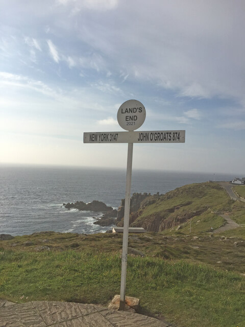
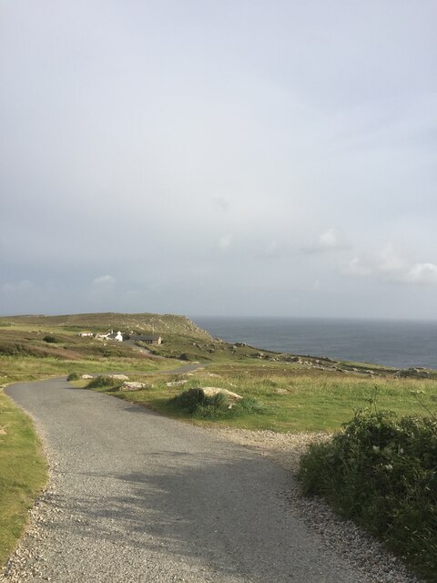
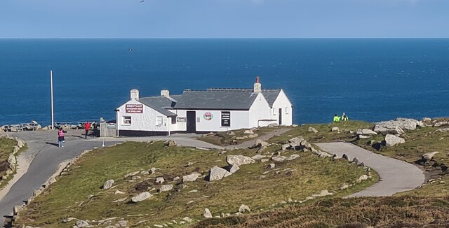
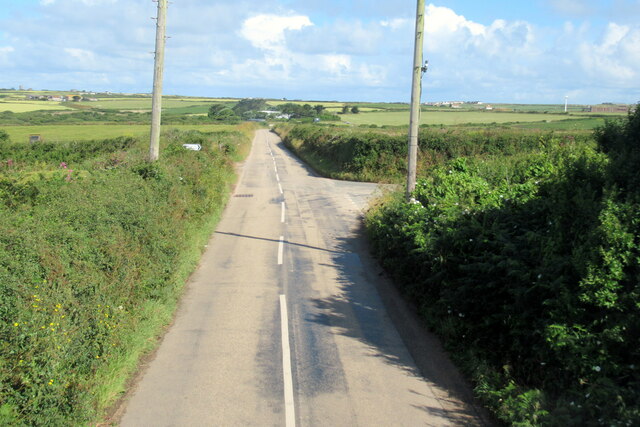
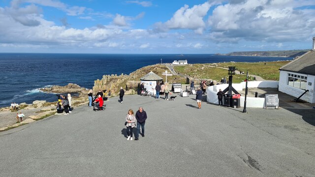
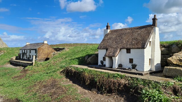
Carn Cravah Images
Images are sourced within 2km of 50.055617/-5.696792 or Grid Reference SW3523. Thanks to Geograph Open Source API. All images are credited.


Carn Cravah is located at Grid Ref: SW3523 (Lat: 50.055617, Lng: -5.696792)
Unitary Authority: Cornwall
Police Authority: Devon and Cornwall
What 3 Words
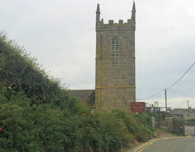
///roadmap.conquests.mulls. Near Sennen, Cornwall
Nearby Locations
Related Wikis

Nanjizal
Nanjizal (Cornish: Porth Nansusel, meaning "cove of the howling valley"), also known as Mill Bay, is a beach and cove in the civil parish of St Levan,...

Trevescan
Trevescan is a hamlet in west Cornwall, England, United Kingdom. It is situated between the village of Sennen and the settlement at Land's End, 8 miles...

Porthgwarra to Pordenack Point
Porthgwarra to Pordenack Point is a coastal Site of Special Scientific Interest (SSSI) in west Cornwall, England, noted for its biological characteristics...

Skewjack
Skewjack is the name of a plot of land in west Cornwall, England, United Kingdom. It is situated about 1.5 miles (2 km) east of Land's End on the B3315...
Nearby Amenities
Located within 500m of 50.055617,-5.696792Have you been to Carn Cravah?
Leave your review of Carn Cravah below (or comments, questions and feedback).