Nanjulian Cliff

Cliff, Slope in Cornwall

England

Nanjulian Cliff

Big breakers on Whitesand Bay
Big breakers on Whitesand Bay Credit: Rod Allday

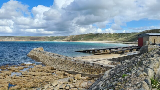
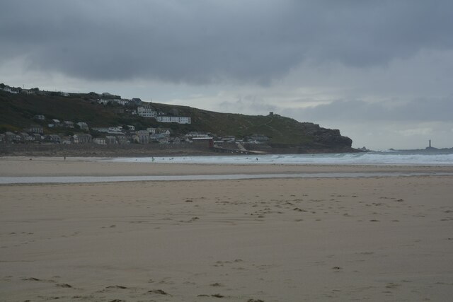
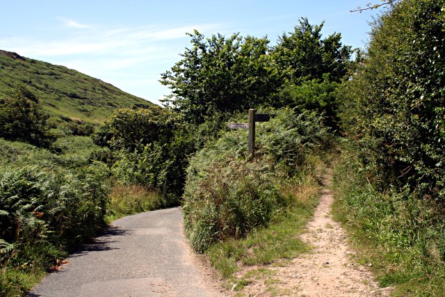
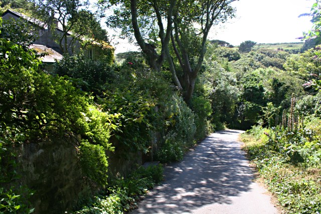
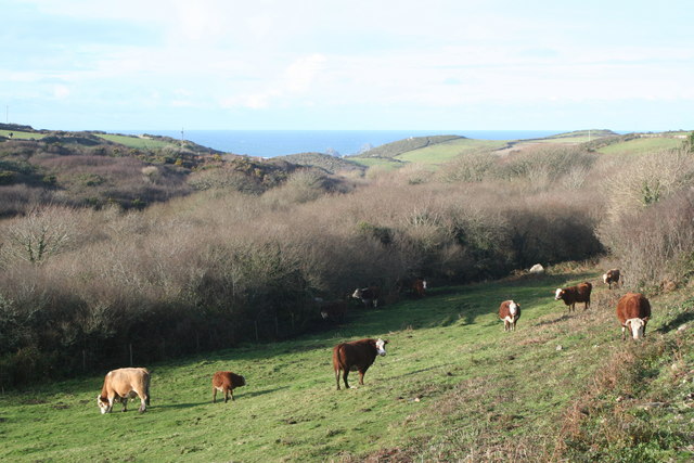
Nanjulian Cliff is a prominent and picturesque cliff located in Cornwall, a southwestern county in England. Situated on the rugged coastline, it stands tall and proud, overlooking the Atlantic Ocean. With its stunning natural beauty and dramatic views, it is a popular destination for nature enthusiasts, hikers, and photographers.

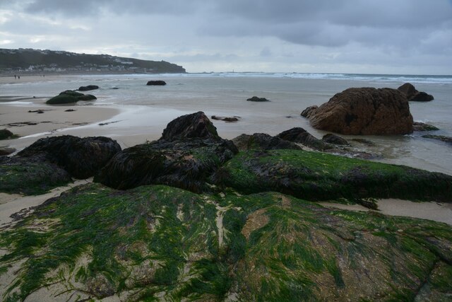
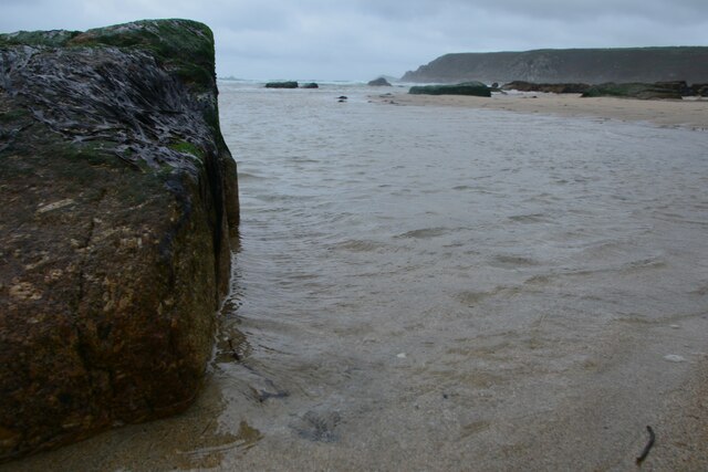
The cliff is characterized by its steep slope, which is covered in lush green vegetation. The vegetation consists of a variety of plants and grasses, adding to the cliff's visual appeal. The slope is dotted with colorful wildflowers during the spring and summer months, creating a vibrant and enchanting landscape.

Nanjulian Cliff's geological features are equally impressive. The cliff is made up of sedimentary rocks, including layers of sandstone and shale, which have been shaped by millions of years of erosion by wind and waves. This erosion has created unique formations and patterns within the cliff, making it a geological marvel.

The cliff offers breathtaking views of the surrounding area, including the vast expanse of the Atlantic Ocean and the rugged coastline. On a clear day, visitors can even see as far as the Isles of Scilly, an archipelago located approximately 28 miles off the coast.

Nanjulian Cliff is not only a natural wonder but also holds historical significance. It has been a site of human activity for thousands of years, with evidence of ancient settlements and burial mounds found nearby. The cliff serves as a reminder of the rich history and heritage of the region.

Overall, Nanjulian Cliff is a captivating and awe-inspiring destination, where visitors can immerse themselves in the beauty of nature and experience the majesty of Cornwall's coastline.

If you have any feedback on the listing, please let us know in the comments section below.

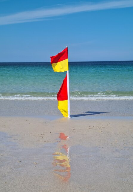
Nanjulian Cliff Images

Images are sourced within 2km of 50.099651/-5.6961281 or Grid Reference SW3528. Thanks to Geograph Open Source API. All images are credited.

Big breakers on Whitesand Bay
Shades of blue on Sennen Beach
Safe bathing area flag on Sennen Beach
Sennen Cove RNLI lifeboat station to right
Sennen Cove
RNLI lifeboat station to right
Sennen Cove : Sandy Beach Looking across the sandy beach at Sennen Cove.
Sennen Cove : Sandy Beach
Looking across the sandy beach at Sennen Cove.
Sennen Cove : Sandy Beach A rocky part of the beach.
Sennen Cove : Sandy Beach
A rocky part of the beach.
Sennen Cove : Sandy Beach A rocky part of the beach.
Sennen Cove : Sandy Beach
A rocky part of the beach.
Sennen Cove : Coastal Scenery A rocky section of the coastline.
Sennen Cove : Coastal Scenery
A rocky section of the coastline.
Sennen Cove : Coastal Scenery Looking across the sandy beach in a rocky part of the cove.
Sennen Cove : Coastal Scenery
Looking across the sandy beach in a rocky part of the cove.
Sennen Cove : Coastal Scenery Looking across the sandy beach.
Sennen Cove : Coastal Scenery
Looking across the sandy beach.
Sennen Cove : Coastal Scenery Looking across the rocky coastline.
Sennen Cove : Coastal Scenery
Looking across the rocky coastline.
The Coast Path in the Cot Valley The path descends from Carn Gloose then takes the valley road down towards Porth Nanven.
The Coast Path in the Cot Valley
The path descends from Carn Gloose then takes the valley road down towards Porth Nanven.
The Road into Cot Valley
Mine Shaft at Carn Leskys The cliffs to the south of Porth Nanven are riddled with old mine workings and shafts, many of which are not as well marked as this. It is not a good idea to stray from the footpath around here.
Mine Shaft at Carn Leskys
The cliffs to the south of Porth Nanven are riddled with old mine workings and shafts, many of which are not as well marked as this. It is not a good idea to stray from the footpath around here.
Clifftop Vegetation on Carn Leskys
Carn Gribba from Carn Leskys It looks like the coast path should have an easy route around the base of Carn Gribba but in fact it doubles back on itself to go over the top.  This is because on the far side of Carn Gribba is a steep cliff with no place for a footpath.
Carn Gribba from Carn Leskys
It looks like the coast path should have an easy route around the base of Carn Gribba but in fact it doubles back on itself to go over the top. This is because on the far side of Carn Gribba is a steep cliff with no place for a footpath.
Vegetation above Carn Leskys At the top of the cliff the bracken and grass makes way for some coastal heathland dominated by heather and gorse.
Vegetation above Carn Leskys
At the top of the cliff the bracken and grass makes way for some coastal heathland dominated by heather and gorse.
Gribba Point from the South The rocks in the distance are The Brisons.
Gribba Point from the South
The rocks in the distance are The Brisons.
Show me another place!

Nanjulian Cliff is located at Grid Ref: SW3528 (Lat: 50.099651, Lng: -5.6961281)

Unitary Authority: Cornwall

Police Authority: Devon and Cornwall

What 3 Words

///edicts.billiard.carry. Near Sennen, Cornwall

Related Wikis

Nanquidno

Nanquidno is a hamlet near St Just in Penwith in west Cornwall, England. It is about half a mile southwest of Kelynack. == References ==

Kelynack

Kelynack (from Cornish: Kelynek is a settlement in west Cornwall, England, UK. == Geography == Kelynack is on the Penwith peninsula approximately four...

Land's End Airport

Land's End Airport (IATA: LEQ, ICAO: EGHC), situated near St Just in Penwith, 5 NM (9.3 km; 5.8 mi) west of Penzance, in Cornwall, is the most south westerly...

Escalls

Escalls is a hamlet in the civil parish of Sennen on the Penwith peninsula in west Cornwall, England, UK. == Toponyny == Escalls previously written as...

Nearby Amenities

Located within 500m of 50.099651,-5.6961281
Source: PGS
Lat/Long: 50.1011611/-5.6973389
Source: PGS
Lat/Long: 50.0972318/-5.6954294
Source: PGS
Lat/Long: 50.0969273/-5.6949075
Source: PGS
Lat/Long: 50.0964592/-5.6945229
Source: PGS
Lat/Long: 50.0962535/-5.6941933
Source: PGS
Lat/Long: 50.0954587/-5.694232
The data included in this document is from www.openstreetmap.org. The data is made available under ODbL.

Have you been to Nanjulian Cliff?

Leave your review of Nanjulian Cliff below (or comments, questions and feedback).