Rubha na Connacaig

Landscape Feature in Ross-shire

Scotland

Rubha na Connacaig

View Back Towards Sgalabhal Mula A photo taken after descending the steep and rocky slopes of Sgalabhal Mula.
View Back Towards Sgalabhal Mula Credit: Rude Health

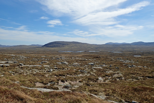
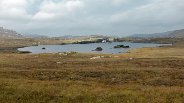
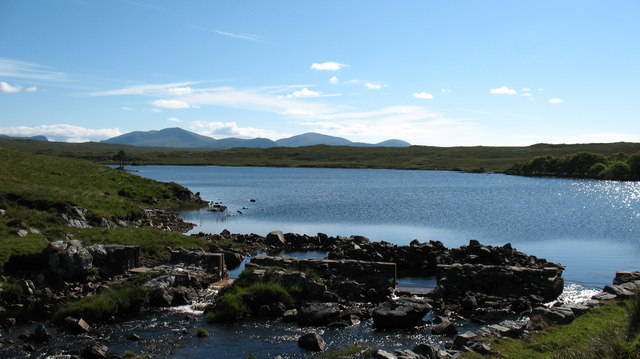
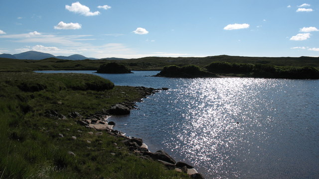
Rubha na Connacaig is a stunning landscape feature located in the county of Ross-shire, Scotland. Situated on the northwest coast of the country, this prominent headland offers breathtaking views of the surrounding area.

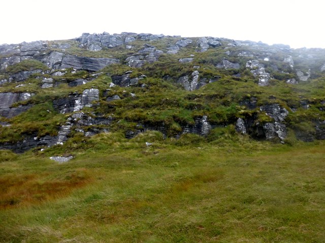
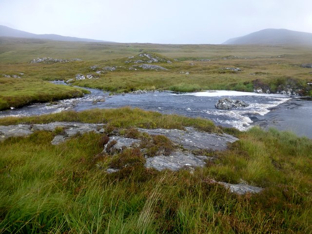
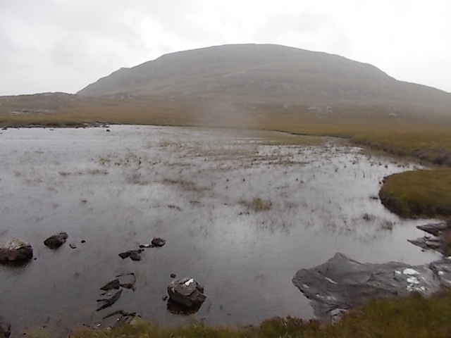
The rugged terrain of Rubha na Connacaig is characterized by steep cliffs that drop dramatically into the glistening waters of the North Atlantic Ocean. These cliffs, formed by ancient volcanic activity, reach impressive heights and provide an ideal habitat for a variety of bird species, including puffins, guillemots, and razorbills. Birdwatchers flock to this area to observe the diverse avian population.

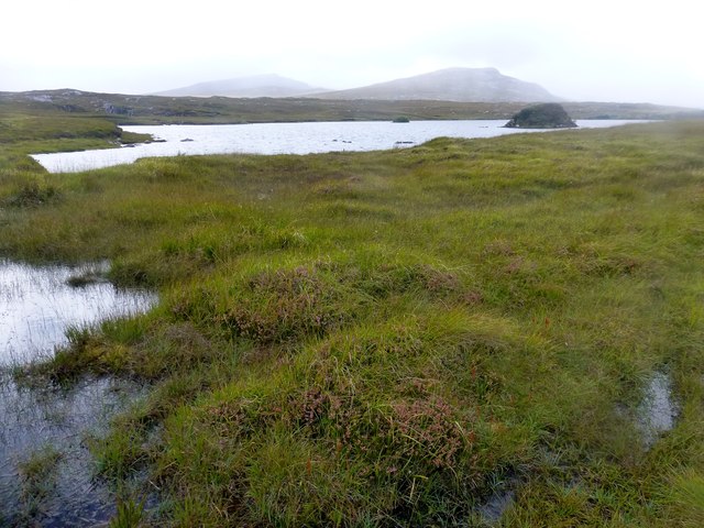
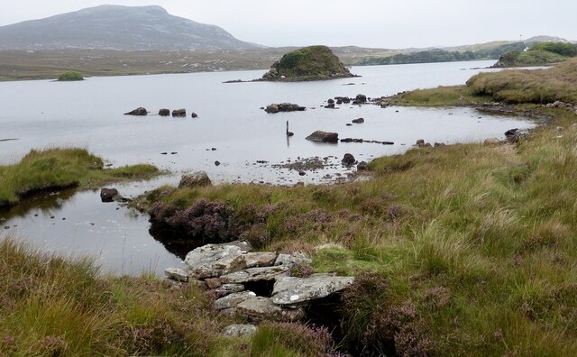
In addition to its birdlife, Rubha na Connacaig boasts a diverse range of flora and fauna. The headland is covered in heather, grasses, and wildflowers, creating a colorful and vibrant landscape. The surrounding waters are home to seals and otters, while dolphins and whales can occasionally be spotted offshore.

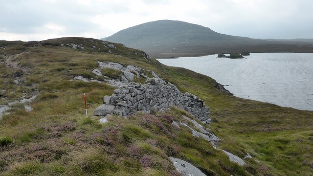
The geological significance of Rubha na Connacaig is also of note. The headland showcases unique rock formations, including basalt columns, which were created by volcanic activity millions of years ago. These formations add to the area's natural beauty and attract geology enthusiasts from around the world.

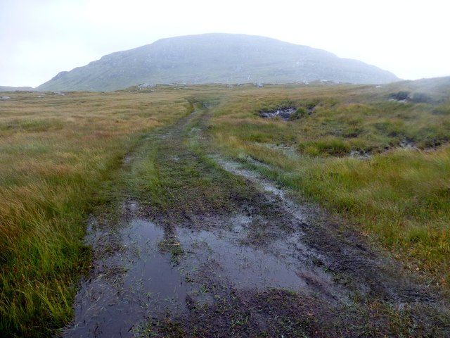
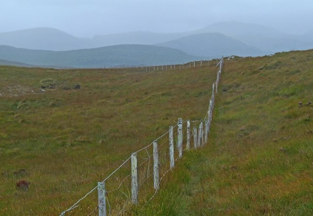
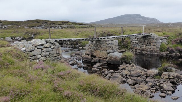
Access to Rubha na Connacaig is limited, with a narrow path leading to the headland. However, the effort is rewarded with awe-inspiring panoramic views of the rugged coastline and the vast expanse of the ocean. The untouched and remote nature of this landscape feature makes it a true gem for those seeking tranquility and a connection with nature.

If you have any feedback on the listing, please let us know in the comments section below.

Rubha na Connacaig Images

Images are sourced within 2km of 58.095708/-6.8637347 or Grid Reference NB1322. Thanks to Geograph Open Source API. All images are credited.

View Back Towards Sgalabhal Mula A photo taken after descending the steep and rocky slopes of Sgalabhal Mula.
View Back Towards Sgalabhal Mula
A photo taken after descending the steep and rocky slopes of Sgalabhal Mula.
Wet Track Wet track and view back towards Sgalabhal Mula.
Wet Track
Wet track and view back towards Sgalabhal Mula.
Loch Morsgail A view towards Loch Morsgail.
Loch Morsgail
A view towards Loch Morsgail.
Weir View A view across Loch Morsgail towards Loidse Mhorsgail.
Weir View
A view across Loch Morsgail towards Loidse Mhorsgail.
River Morsgail The River Morsgail divides again to form another island.
River Morsgail
The River Morsgail divides again to form another island.
River Morsgail View A tributary joins the River Morsgail at a strange angle.
River Morsgail View
A tributary joins the River Morsgail at a strange angle.
Cairn Near Summit Of Codiunn Coduinn, Beinn a' Tuath, Beinn Mheadhanach and Sgeun with Jim Fothergill on a damp grey misty morning.
Name: Coduinn
Hill number: 4940
Height: 241m / 791ft
Parent (Ma/M): 1570 Beinn Mheadhanach [Beinn Mheadhonach]
Section: 24A: Lewis and Nearby Islands
County/UA: Na h-Eileanan Siar [Western Isles] (UA)
Island: Lewis and Harris
Class: HuMP, Tump (200-299m)
Grid ref: NB120232 (est)
Drop: 103m
Col: 138m NB116233
Cairn Near Summit Of Codiunn
Coduinn, Beinn a' Tuath, Beinn Mheadhanach and Sgeun with Jim Fothergill on a damp grey misty morning. Name: Coduinn Hill number: 4940 Height: 241m / 791ft Parent (Ma/M): 1570 Beinn Mheadhanach [Beinn Mheadhonach] Section: 24A: Lewis and Nearby Islands County/UA: Na h-Eileanan Siar [Western Isles] (UA) Island: Lewis and Harris Class: HuMP, Tump (200-299m) Grid ref: NB120232 (est) Drop: 103m Col: 138m NB116233
Unnamed lochan below Sgalabhal
Fence to the south of Loch Gainmhich, Isle of Lewis The highest hill in the background is Stulabhal.

Although not particularly new looking, the fence is not currently shown on the OS map (as viewed on OS Maps 23/09/16).
Fence to the south of Loch Gainmhich, Isle of Lewis
The highest hill in the background is Stulabhal. Although not particularly new looking, the fence is not currently shown on the OS map (as viewed on OS Maps 23/09/16).
Shieling, Airighean An Fhorsa, Isle of Lewis This shieling was still in use by people from Bhaltos at the time of the writing of the OS Name Book in 1849.
Shieling, Airighean An Fhorsa, Isle of Lewis
This shieling was still in use by people from Bhaltos at the time of the writing of the OS Name Book in 1849.
Moorland Vista Looking southeast to Loch Craghach and the hill Scalabhal Mula.
Moorland Vista
Looking southeast to Loch Craghach and the hill Scalabhal Mula.
Road leading to Mhorsgail Lodge
Southern shore of Loch Morsgail
Footbridge next to Loch Morsgail
Drystone wall A fragment of drystone walling above Loch Morsgail.
Drystone wall
A fragment of drystone walling above Loch Morsgail.
Loch Morsgail
Loch Morsgail
Loch Morsgail Hill loch to the south of the Uig road, and on the edge of some wild remote country.
Loch Morsgail
Hill loch to the south of the Uig road, and on the edge of some wild remote country.
Islets in Loch Morsgail The south end of the loch has 3 tiny islands. The hills of North Harris can be seen in the distance.
Islets in Loch Morsgail
The south end of the loch has 3 tiny islands. The hills of North Harris can be seen in the distance.
Show me another place!

Rubha na Connacaig is located at Grid Ref: NB1322 (Lat: 58.095708, Lng: -6.8637347)

Unitary Authority: Na h-Eileanan an Iar

Police Authority: Highlands and Islands

What 3 Words

///vessel.quack.disbanded. Near Carloway, Na h-Eileanan Siar

Related Wikis

Gisla Hydro-Electric Scheme

Gisla Hydro-Electric Scheme was a small scheme promoted by the North of Scotland Hydro-Electric Board on the Isle of Lewis, Outer Hebrides, Scotland. It...

Eilean Mòr, Loch Langavat

Eilean Mòr is an island in Loch Langavat on the Isle of Lewis in the Outer Hebrides of Scotland. == Footnotes ==

Nearby Amenities

Located within 500m of 58.095708,-6.8637347
Loidse Mhorsgail
Name En: Morsgail Lodge
Name Gd: Loidse Mhorsgail
Place: hamlet
Lat/Long: 58.0983141/-6.8621394
Generator Method: wind_turbine
Generator Output Electricity: small_installation
Generator Source: wind
Generator Type: horizontal_axis
Power: generator
Lat/Long: 58.0994366/-6.8627816
Power: pole
Lat/Long: 58.0993775/-6.8623276
Power: pole
Lat/Long: 58.0986937/-6.8626852
Power: pole
Lat/Long: 58.0982751/-6.8626615
Passing Place
Lat/Long: 58.0984074/-6.8580991
The data included in this document is from www.openstreetmap.org. The data is made available under ODbL.

Have you been to Rubha na Connacaig?

Leave your review of Rubha na Connacaig below (or comments, questions and feedback).