Eilean a' Chlachain
Island in Ross-shire
Scotland
Eilean a' Chlachain
Eilean a' Chlachain is a small island located in Ross-shire, Scotland. It lies in the picturesque Loch Maree, which is known for its stunning beauty and tranquil atmosphere. The island is approximately 1.5 hectares in size and is covered in lush vegetation, including a variety of trees such as oak, birch, and rowan.
The name Eilean a' Chlachain translates to "Island of the Stone," referring to the large stone that sits at the center of the island. This stone is believed to have ancient significance and attracts visitors who come to see the unique landmark.
The island is accessible by boat, and there is a small pier where visitors can dock their boats. Once on the island, visitors can explore the surrounding woodlands and enjoy the peacefulness of the area. There are also a few walking trails that lead to viewpoints offering remarkable vistas of Loch Maree and the surrounding mountains.
Eilean a' Chlachain is a popular spot for birdwatchers, as it is home to a variety of bird species, including the rare black-throated diver and the osprey. The island provides an ideal habitat for these birds, with its secluded location and abundance of natural resources.
Overall, Eilean a' Chlachain offers a serene and idyllic setting for nature lovers and those seeking a peaceful retreat. Its natural beauty, ancient stone, and diverse wildlife make it a hidden gem in the stunning landscape of Ross-shire.
If you have any feedback on the listing, please let us know in the comments section below.
Eilean a' Chlachain Images
Images are sourced within 2km of 58.101848/-6.8593898 or Grid Reference NB1322. Thanks to Geograph Open Source API. All images are credited.
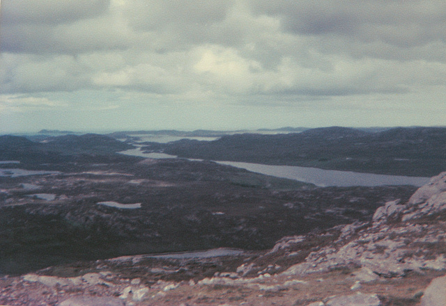
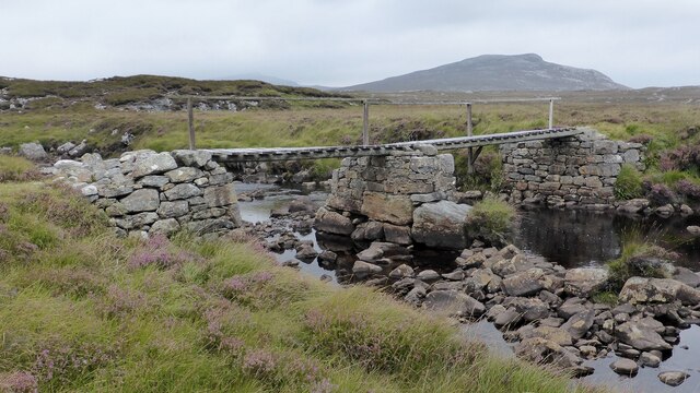
![Caultrashal Beag [Coltraiseal Beag] First HuMP of four today with Michael Earnshaw, Jim Bloomer and Martin Richardson in mixed weather.
Name: Caultrashal Beag [Coltraiseal Beag]
Hill number: 4941
Height: 226m / 741ft
Area: 24A: Lewis and Nearby Islands
Class: Hu,2
Grid ref: NB149241 (est)
Drop: 108m
Col: 118m NB161233](https://s1.geograph.org.uk/geophotos/03/69/32/3693277_9b2650d0.jpg)

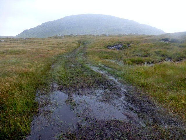
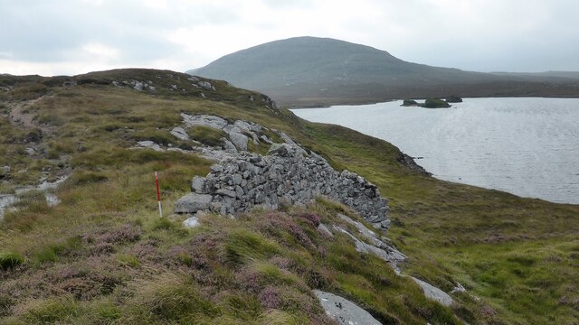
![View Towards Loch Ruadh Meadhanach A view towards Loch Ruadh Meadhanach from the lower slopes of Caultrashal Mor [Coltraiseal Mòr].](https://s3.geograph.org.uk/geophotos/03/69/37/3693795_acc940a3.jpg)
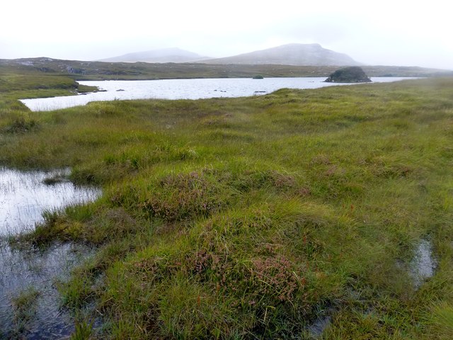

![Cairn Near Summit Of Codiunn Coduinn, Beinn a' Tuath, Beinn Mheadhanach and Sgeun with Jim Fothergill on a damp grey misty morning.
Name: Coduinn
Hill number: 4940
Height: 241m / 791ft
Parent (Ma/M): 1570 Beinn Mheadhanach [Beinn Mheadhonach]
Section: 24A: Lewis and Nearby Islands
County/UA: Na h-Eileanan Siar [Western Isles] (UA)
Island: Lewis and Harris
Class: HuMP, Tump (200-299m)
Grid ref: NB120232 (est)
Drop: 103m
Col: 138m NB116233](https://s3.geograph.org.uk/geophotos/04/18/40/4184007_c71070f9.jpg)


Eilean a' Chlachain is located at Grid Ref: NB1322 (Lat: 58.101848, Lng: -6.8593898)
Unitary Authority: Na h-Eileanan an Iar
Police Authority: Highlands and Islands
What 3 Words
///fallback.flatten.unzips. Near Carloway, Na h-Eileanan Siar
Related Wikis

Gisla Hydro-Electric Scheme
Gisla Hydro-Electric Scheme was a small scheme promoted by the North of Scotland Hydro-Electric Board on the Isle of Lewis, Outer Hebrides, Scotland. It...

Eilean Mòr, Loch Langavat
Eilean Mòr is an island in Loch Langavat on the Isle of Lewis in the Outer Hebrides of Scotland. == Footnotes ==
Nearby Amenities
Located within 500m of 58.101848,-6.8593898Have you been to Eilean a' Chlachain?
Leave your review of Eilean a' Chlachain below (or comments, questions and feedback).