Eilean an Tighe
Island in Ross-shire
Scotland
Eilean an Tighe
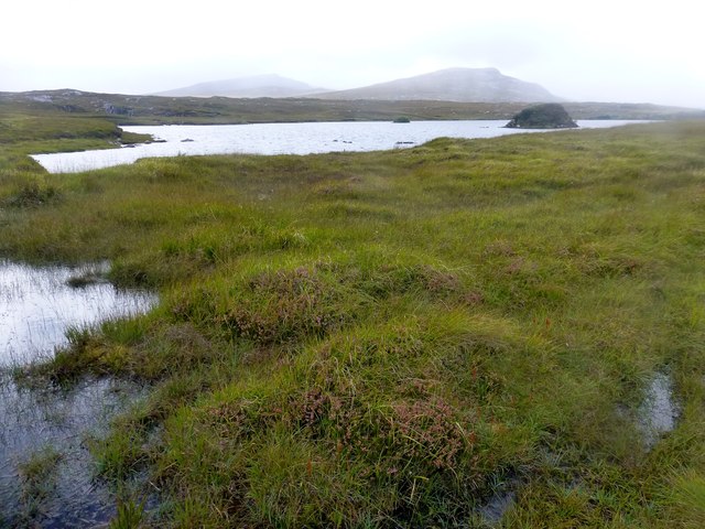
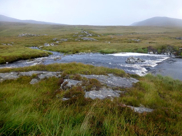
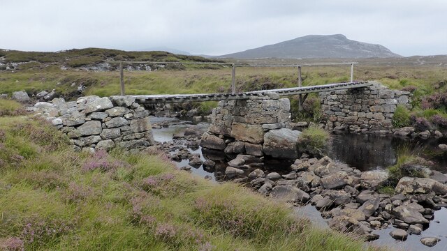
![View Towards Loch Ruadh Meadhanach A view towards Loch Ruadh Meadhanach from the lower slopes of Caultrashal Mor [Coltraiseal Mòr].](https://s3.geograph.org.uk/geophotos/03/69/37/3693795_acc940a3.jpg)
Eilean an Tighe is a small island located off the west coast of Ross-shire, in the Highland region of Scotland. It is situated in the picturesque Loch Broom, near the town of Ullapool. The island covers an area of approximately 11 acres and is accessible by boat.
The island is known for its natural beauty, with rugged coastlines, rocky cliffs, and stunning views of the surrounding mountains. It is home to a diverse range of flora and fauna, including seabirds, otters, and seals. The island's landscape offers opportunities for outdoor activities such as hiking, birdwatching, and wildlife spotting.
Eilean an Tighe has a rich history, with evidence of human habitation dating back to the Bronze Age. The island was once home to a small community of crofters, who relied on fishing and agriculture for their livelihoods. However, the population declined over the years, and the island is now uninhabited.
Visitors to Eilean an Tighe can explore the ruins of the old crofting settlement, including stone houses and agricultural structures. The island also features a small chapel, believed to have been built in the 12th century, which adds to its historical significance.
Overall, Eilean an Tighe offers a peaceful and secluded escape for nature lovers and history enthusiasts, with its scenic landscapes, abundant wildlife, and intriguing ruins.
If you have any feedback on the listing, please let us know in the comments section below.
Eilean an Tighe Images
Images are sourced within 2km of 58.09293/-6.8582762 or Grid Reference NB1321. Thanks to Geograph Open Source API. All images are credited.


Eilean an Tighe is located at Grid Ref: NB1321 (Lat: 58.09293, Lng: -6.8582762)
Unitary Authority: Na h-Eileanan an Iar
Police Authority: Highlands and Islands
What 3 Words
///freshest.history.locals. Near Carloway, Na h-Eileanan Siar
Related Wikis

Gisla Hydro-Electric Scheme
Gisla Hydro-Electric Scheme was a small scheme promoted by the North of Scotland Hydro-Electric Board on the Isle of Lewis, Outer Hebrides, Scotland. It...

Eilean Mòr, Loch Langavat
Eilean Mòr is an island in Loch Langavat on the Isle of Lewis in the Outer Hebrides of Scotland. == Footnotes ==
Nearby Amenities
Located within 500m of 58.09293,-6.8582762Have you been to Eilean an Tighe?
Leave your review of Eilean an Tighe below (or comments, questions and feedback).