Loch Ruadh Màs a' Mhula
Lake, Pool, Pond, Freshwater Marsh in Ross-shire
Scotland
Loch Ruadh Màs a' Mhula
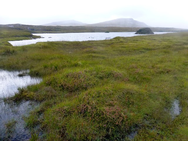
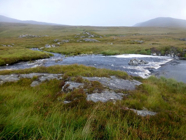
![View Towards Loch Ruadh Meadhanach A view towards Loch Ruadh Meadhanach from the lower slopes of Caultrashal Mor [Coltraiseal Mòr].](https://s3.geograph.org.uk/geophotos/03/69/37/3693795_acc940a3.jpg)
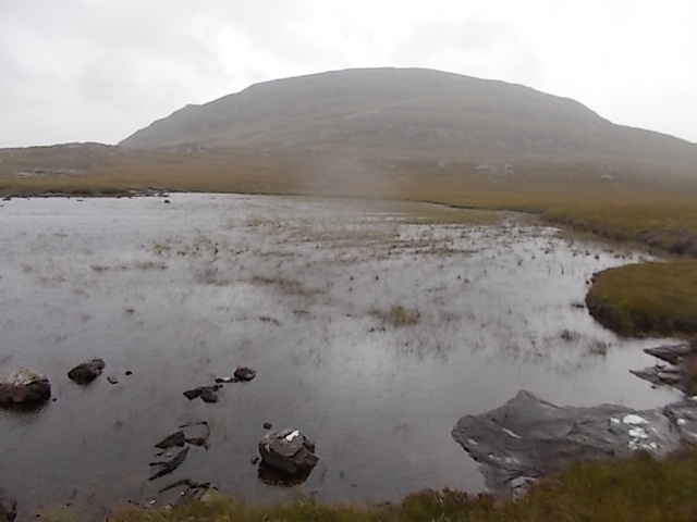
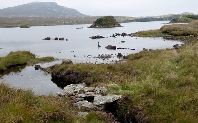
Loch Ruadh Màs a' Mhula is a picturesque freshwater lake located in the county of Ross-shire, Scotland. With a surface area of approximately 15 hectares, the loch is nestled amidst the stunning Scottish Highlands, offering visitors an idyllic retreat into nature.
Surrounded by lush greenery and rolling hills, Loch Ruadh Màs a' Mhula is a haven for wildlife enthusiasts and nature lovers. The lake itself is known for its crystal-clear waters, reflecting the beauty of the surrounding landscape. Its calm and serene ambiance provides a perfect setting for relaxation and tranquility.
The loch is home to a diverse range of flora and fauna. The surrounding marshes and wetlands provide a habitat for various bird species, including waterfowl, waders, and migratory birds. Birdwatchers can spot ospreys, herons, and even the elusive golden eagle in this area. The lake is also home to a variety of fish, such as trout and pike, making it a popular spot for anglers.
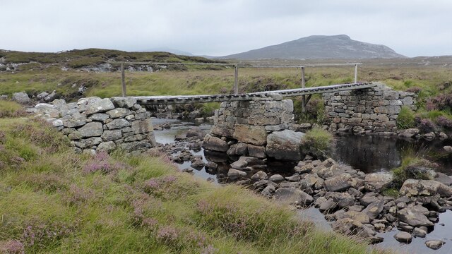
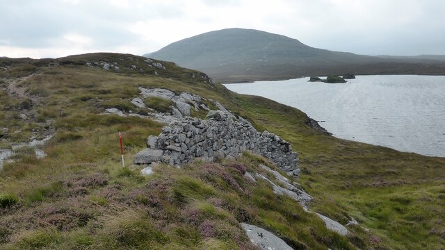
Visitors to Loch Ruadh Màs a' Mhula can explore the area on foot or by boat. The surrounding trails offer breathtaking views of the lake and its surroundings, making it a paradise for hikers and photographers. Canoeing and kayaking are popular activities on the lake, allowing visitors to immerse themselves in the natural beauty of the area.
Overall, Loch Ruadh Màs a' Mhula is a hidden gem in the Scottish Highlands, offering visitors a chance to connect with nature and experience the tranquility of this stunning freshwater lake.
If you have any feedback on the listing, please let us know in the comments section below.
Loch Ruadh Màs a' Mhula Images
Images are sourced within 2km of 58.086993/-6.8596924 or Grid Reference NB1321. Thanks to Geograph Open Source API. All images are credited.


![Scalaval [Scalabhal] [Sgalabhal] Fourth HuMP of four today with Michael Earnshaw, Jim Bloomer and Martin Richardson in mixed weather.
Name: Scalaval [Scalabhal] [Sgalabhal]
Hill number: 4938
Height: 260m / 853ft
Area: 24A: Lewis and Nearby Islands
Class: Hu,2
Grid ref: NB 14257 19826
Summit feature: trig point: OS measurement
Drop: 122m
Col: 138m NB132175](https://s1.geograph.org.uk/geophotos/03/69/38/3693801_2cb73434.jpg)


Loch Ruadh Màs a' Mhula is located at Grid Ref: NB1321 (Lat: 58.086993, Lng: -6.8596924)
Unitary Authority: Na h-Eileanan an Iar
Police Authority: Highlands and Islands
What 3 Words
///willpower.loaders.learn. Near Tarbert, Na h-Eileanan Siar
Related Wikis

Gisla Hydro-Electric Scheme
Gisla Hydro-Electric Scheme was a small scheme promoted by the North of Scotland Hydro-Electric Board on the Isle of Lewis, Outer Hebrides, Scotland. It...

Eilean Mòr, Loch Langavat
Eilean Mòr is an island in Loch Langavat on the Isle of Lewis in the Outer Hebrides of Scotland. == Footnotes ==

Uladail
Uladail is a location near Amhuinnsuidhe, on Harris in the Outer Hebrides, Scotland. Sron Ulladail is a sheer cliff which at 370 metres (1,210 ft) is one...
Nearby Amenities
Located within 500m of 58.086993,-6.8596924Have you been to Loch Ruadh Màs a' Mhula?
Leave your review of Loch Ruadh Màs a' Mhula below (or comments, questions and feedback).