Sròn Eadar Dha Mhol
Landscape Feature in Ross-shire
Scotland
Sròn Eadar Dha Mhol
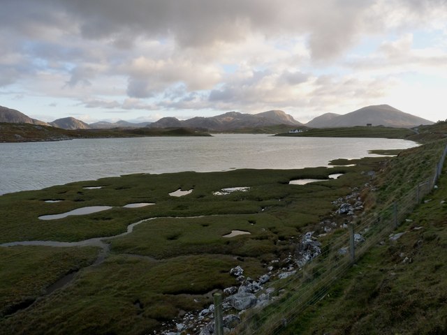
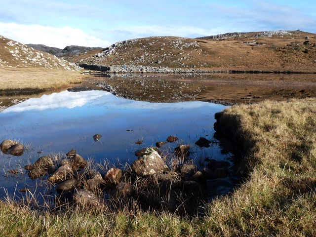
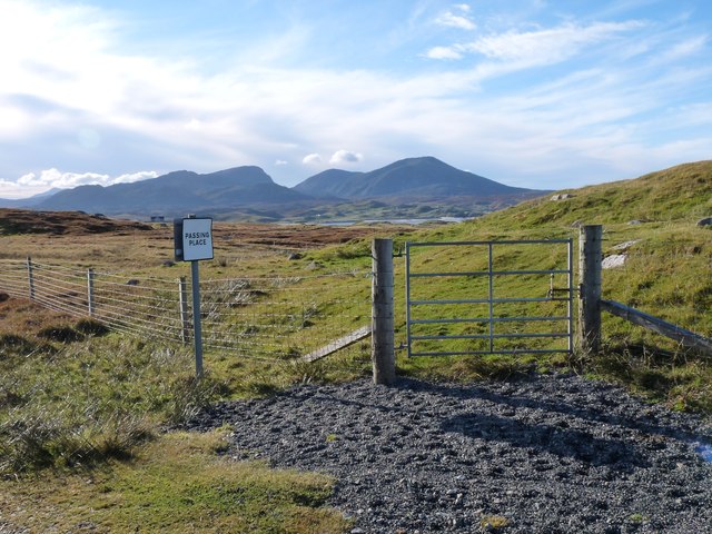
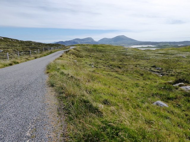
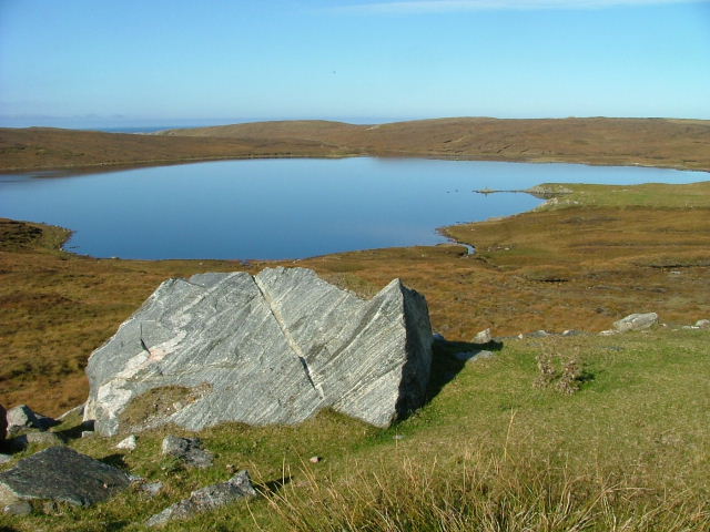
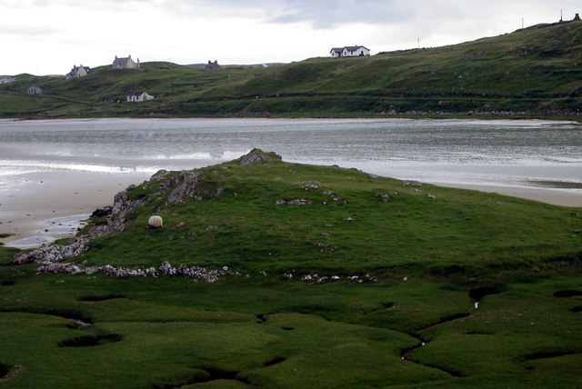
Sròn Eadar Dha Mhol, located in Ross-shire, Scotland, is a prominent landscape feature that holds both historical and geological significance. This distinct landform is a narrow, rocky ridge that stretches for approximately 2 miles, separating two valleys.
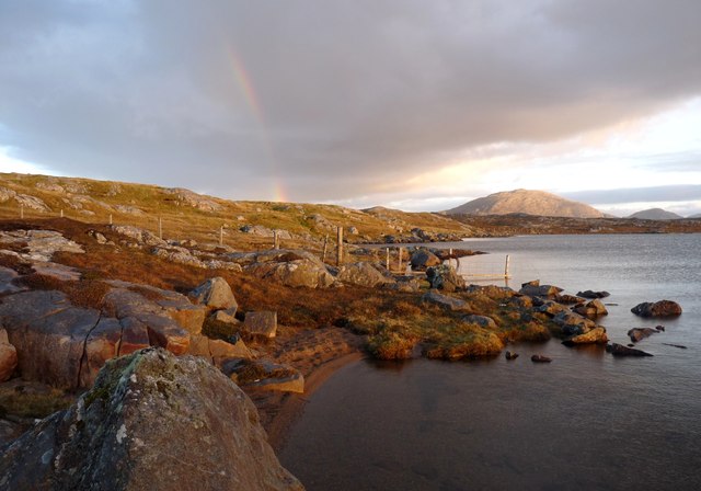
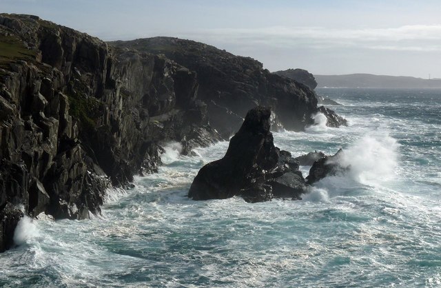
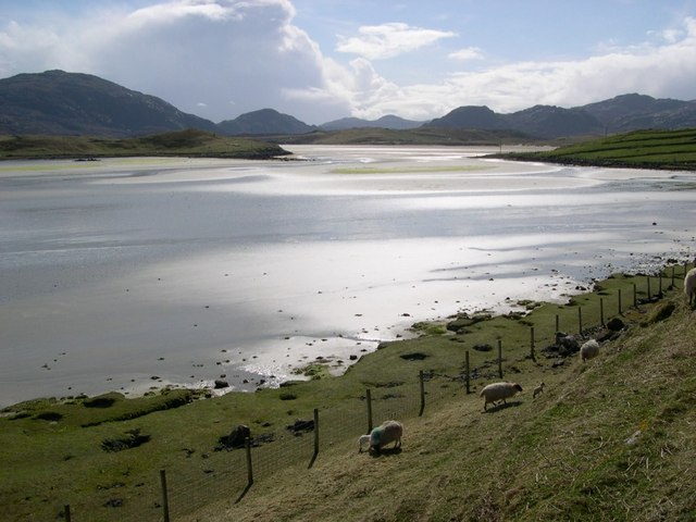
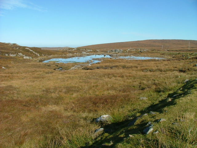
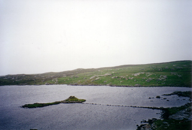
The name Sròn Eadar Dha Mhol translates to "nose between two lochs," reflecting its geographical position between the Lochs of Broom and Glascarnoch. Its formation can be attributed to glacial activity during the last Ice Age, which carved out the ridge, leaving behind steep cliffs and a rugged terrain.
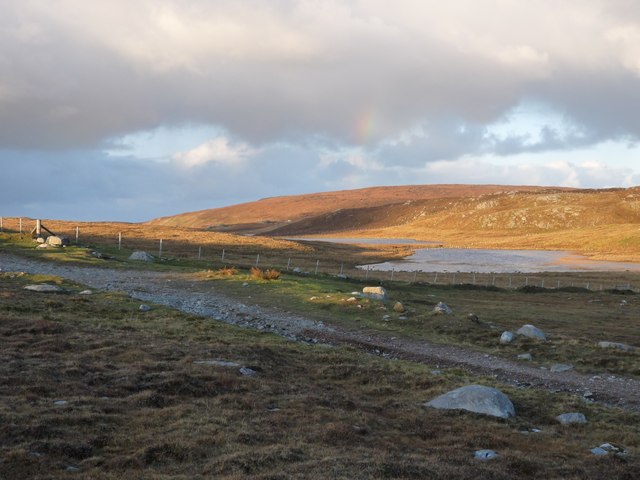
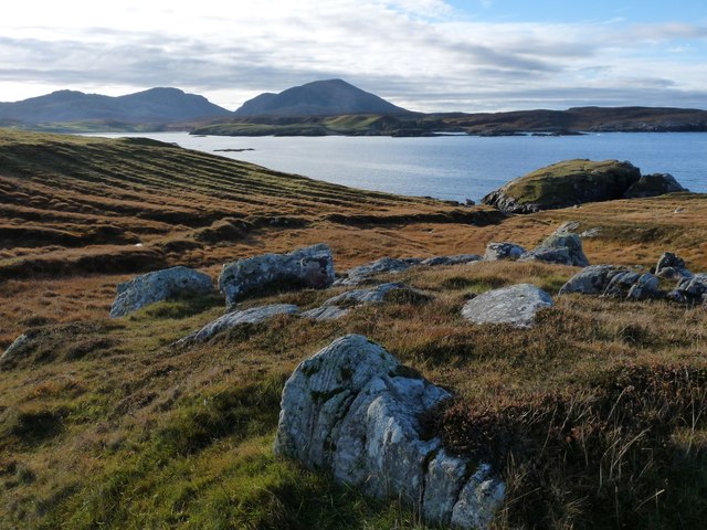
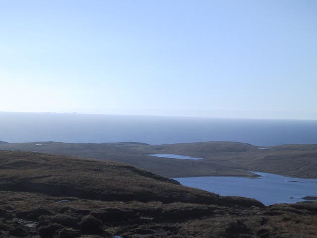
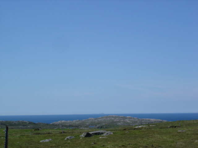
The ridge itself rises to an elevation of around 1,800 feet, offering breathtaking views of the surrounding landscape. From atop Sròn Eadar Dha Mhol, one can witness the vast expanse of the Scottish Highlands, with its rolling hills, picturesque lochs, and heather-clad moorlands.
Aside from its natural beauty, Sròn Eadar Dha Mhol also holds historical significance. The ridge is said to have served as a strategic vantage point during ancient times, offering a commanding view of the surrounding valleys. It is believed that this location might have been used as a defensive site or a lookout during conflicts between rival clans.
Today, Sròn Eadar Dha Mhol attracts hikers and nature enthusiasts who are drawn to its dramatic landscapes and panoramic views. The ridge offers a challenging but rewarding trek, with its steep inclines and rocky terrain. It provides an opportunity to immerse oneself in the raw beauty of the Scottish Highlands and witness a landscape shaped by both nature and history.
If you have any feedback on the listing, please let us know in the comments section below.
Sròn Eadar Dha Mhol Images
Images are sourced within 2km of 58.208606/-7.0501235 or Grid Reference NB0335. Thanks to Geograph Open Source API. All images are credited.
Sròn Eadar Dha Mhol is located at Grid Ref: NB0335 (Lat: 58.208606, Lng: -7.0501235)
Unitary Authority: Na h-Eileanan an Iar
Police Authority: Highlands and Islands
What 3 Words
///merchant.split.hound. Near Carloway, Na h-Eileanan Siar
Related Wikis

Camas Uig
Camas Uig (Uig Bay) is a bay on the west coast of the Isle of Lewis, in the Outer Hebrides of Scotland. The Lewis Chessmen were discovered in the dunes...

Timsgarry
Timsgarry (Scottish Gaelic: Tuimisgearraidh) is a village on the Isle of Lewis, in the Outer Hebrides, Scotland. Timsgarry is home to the Baile na Cille...

Aird Uig
Aird Uig (Scottish Gaelic: Àird Ùig) is a village on the Isle of Lewis, in the Outer Hebrides, Scotland. Aird Uig is within the parish of Uig, and is situated...

Ardroil
Ardroil (Scottish Gaelic: Eadar Dhà Fhadhail) is a village on the Isle of Lewis in the Outer Hebrides, Scotland. Ardroil is within the parish of Uig....

Uig, Lewis
Uig (Scottish Gaelic: Ùig [uːkʲ]), also known as Sgìr' Ùig, is a civil parish and community in the west of the Isle of Lewis in the Outer Hebrides, Scotland...

Abhainn Dearg distillery
Abhainn Dearg distillery ( AV-in JAIRG) or Red River distillery is a Scotch whisky distillery in Uig, on the west coast of the Isle of Lewis in the Outer...

Cliff, Lewis
Cliff (Scottish Gaelic: Cliobh) is a small settlement on the Isle of Lewis, in the Outer Hebrides, Scotland. Cliff is within the parish of Uig. The settlement...

Stac Dhòmhnaill Chaim
Stac Dhòmnuill Chaim, or Stac Dhòmhnaill Chaim, or Stac Domhnuill Chaim, is a fortified promontory located near Mangursta (or Mangersta, Scottish Gaelic...
Related Videos

Wild camping at Uig beach with the Vango vango f10 helium ul 1 tent
Lyons Individual Foil Wrapped Coffee Bags @ https://amzn.to/2XFOWOg UK views Get cashback on your outdoor store purchases ...

Uig Sands (Tràigh Uige) / Ardroil Beach, Isle of Lewis, Outer Hebrides, Scotland
When the sun appeared late on a summer evening a beach paradise was revealed as the tide went out with unspoilt white sands ...

Uig Sands - Isle of Lewis - Scotland | 4K | DJI Mini 3 Pro
Uig Sands (also known as Ardroil Beach) is located at the western side of Isle of Lewis, the biggest island of Outer Hebrides in ...
Uig Sands - White noise, sea sounds, relaxation, meditation.
Video from Uig Sands on the Isle of Lewis and Harris on the Outer Hebrides, Western Isles. A pristine beach at one of the furthest ...
Have you been to Sròn Eadar Dha Mhol?
Leave your review of Sròn Eadar Dha Mhol below (or comments, questions and feedback).