Tinndeir
Cliff, Slope in Ross-shire
Scotland
Tinndeir
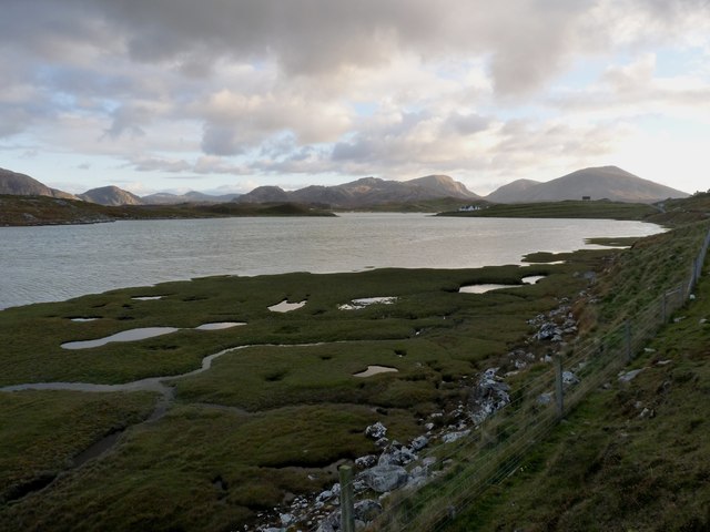
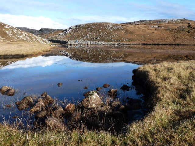
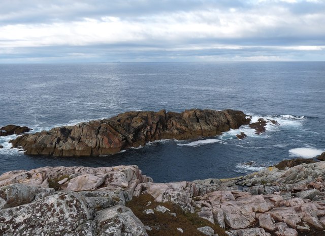
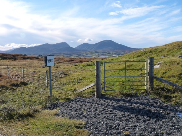
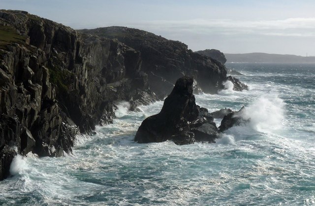
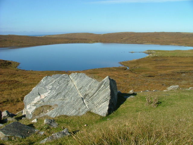
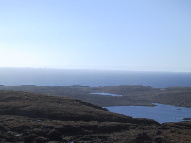
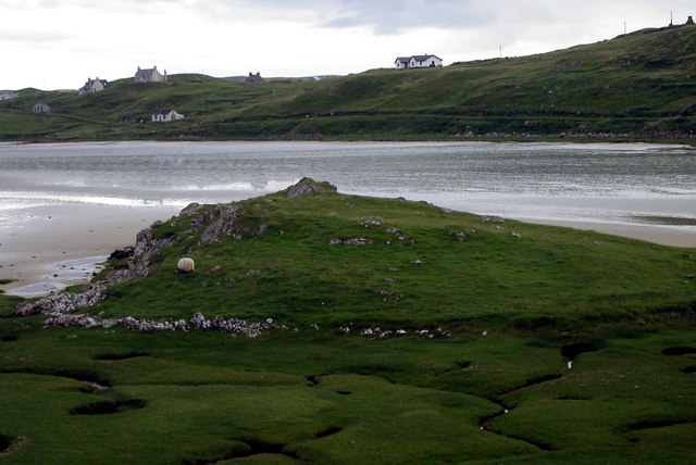
Tinndeir is a small village located in Ross-shire, a county in the Highland region of Scotland. Nestled on a cliff, the village offers stunning views of the surrounding landscapes and the nearby sea. The name "Tinndeir" is derived from Scottish Gaelic, meaning "cliff" or "slope," which perfectly describes the village's geographical location.
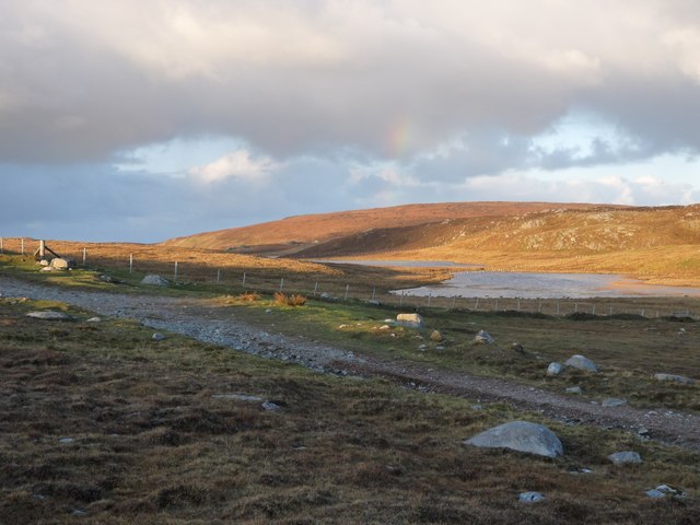
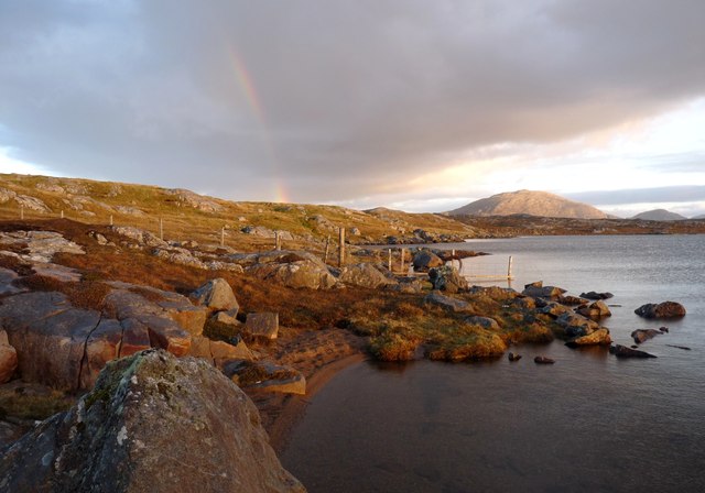
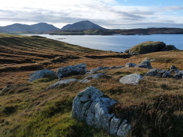
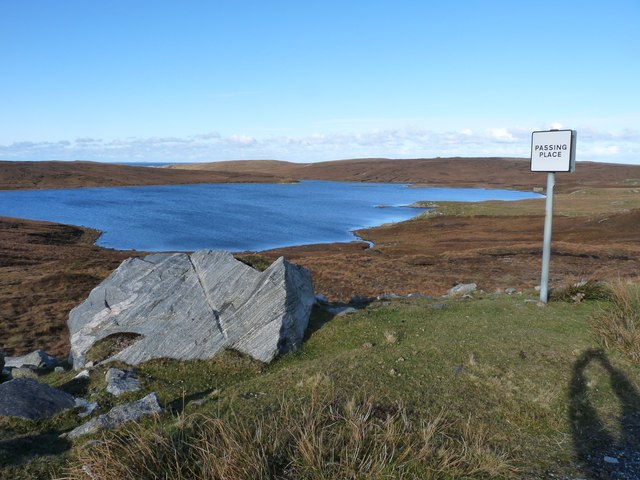
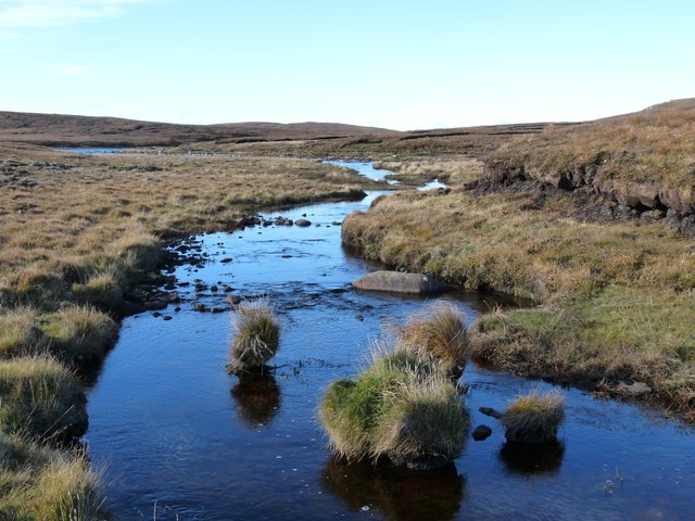
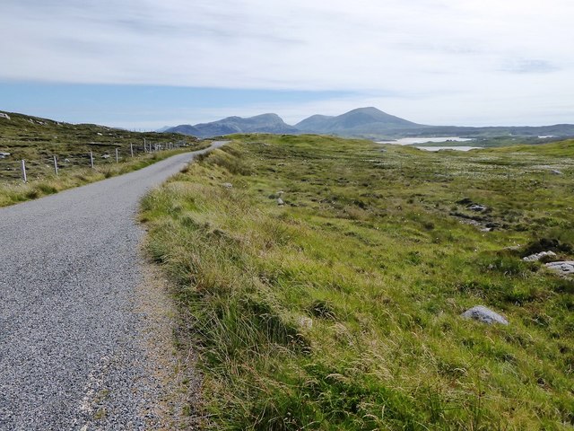
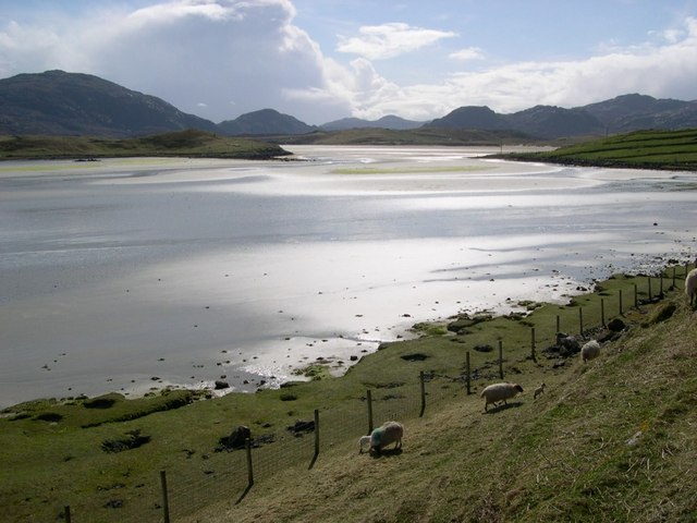
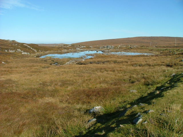
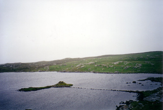
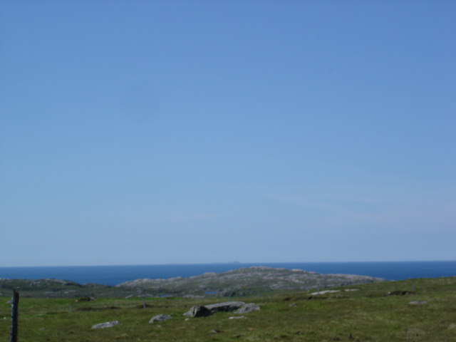
Situated on the western coast of Scotland, Tinndeir is known for its rugged beauty and untouched natural surroundings. The village is surrounded by rolling hills and picturesque countryside, making it a popular destination for nature lovers and outdoor enthusiasts. The nearby coastline offers opportunities for coastal walks, birdwatching, and enjoying breathtaking sunsets.
Despite its small size, Tinndeir has a close-knit community that prides itself on preserving its rich history and traditions. The village is home to a handful of charming cottages, some of which date back to the 18th century. The locals often organize community events and festivals to celebrate their heritage, which adds to the cultural vibrancy of the area.
In terms of amenities, Tinndeir has a few local shops and eateries, providing essential supplies and a taste of local cuisine. For a wider range of services, residents and visitors can easily access nearby towns and cities via well-connected road networks.
Tinndeir is an idyllic destination for those seeking tranquility and a connection with nature. Its stunning cliff-top location, combined with its rich history and welcoming community, make it a hidden gem in the heart of Ross-shire.
If you have any feedback on the listing, please let us know in the comments section below.
Tinndeir Images
Images are sourced within 2km of 58.209738/-7.0513073 or Grid Reference NB0335. Thanks to Geograph Open Source API. All images are credited.
Tinndeir is located at Grid Ref: NB0335 (Lat: 58.209738, Lng: -7.0513073)
Unitary Authority: Na h-Eileanan an Iar
Police Authority: Highlands and Islands
What 3 Words
///afflict.flaunting.dragging. Near Carloway, Na h-Eileanan Siar
Related Wikis

Camas Uig
Camas Uig (Uig Bay) is a bay on the west coast of the Isle of Lewis, in the Outer Hebrides of Scotland. The Lewis Chessmen were discovered in the dunes...

Timsgarry
Timsgarry (Scottish Gaelic: Tuimisgearraidh) is a village on the Isle of Lewis, in the Outer Hebrides, Scotland. Timsgarry is home to the Baile na Cille...

Aird Uig
Aird Uig (Scottish Gaelic: Àird Ùig) is a village on the Isle of Lewis, in the Outer Hebrides, Scotland. Aird Uig is within the parish of Uig, and is situated...

Ardroil
Ardroil (Scottish Gaelic: Eadar Dhà Fhadhail) is a village on the Isle of Lewis in the Outer Hebrides, Scotland. Ardroil is within the parish of Uig....
Have you been to Tinndeir?
Leave your review of Tinndeir below (or comments, questions and feedback).