Leac Lodrabrie

Coastal Feature, Headland, Point in Ross-shire

Scotland

Leac Lodrabrie

Coastline, Geòdha Nasabhaig, Isle of Lewis
Coastline, Geòdha Nasabhaig, Isle of Lewis Credit: Claire Pegrum

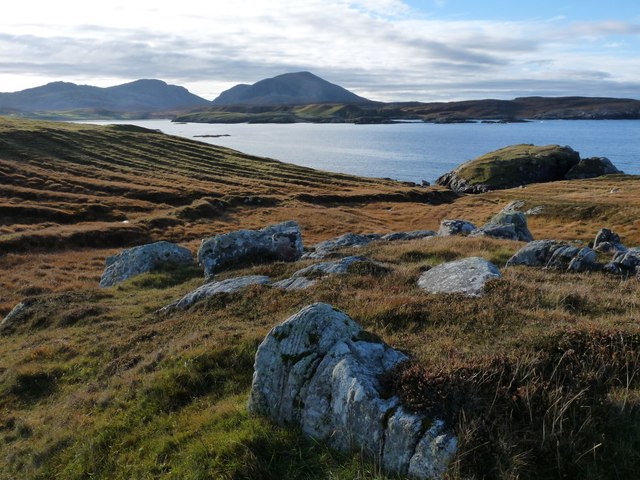
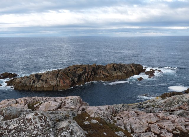
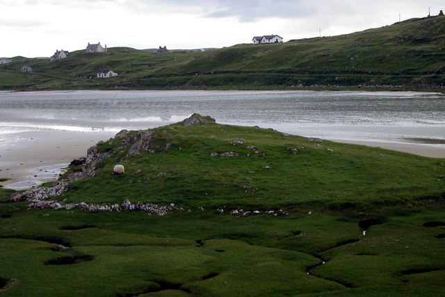
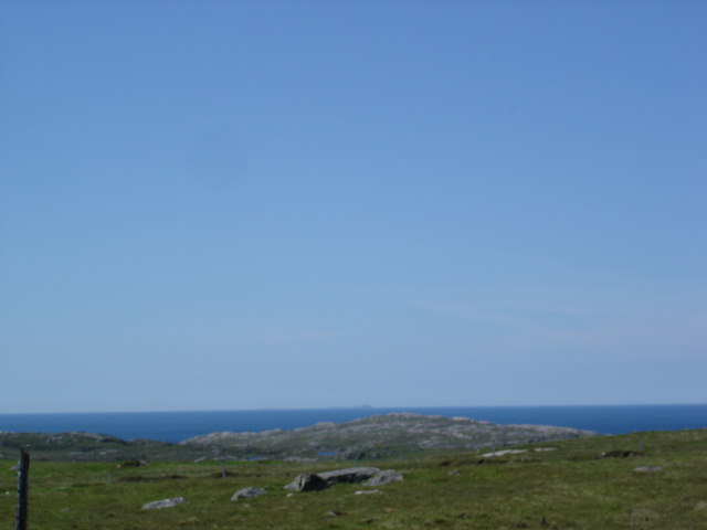
Leac Lodrabrie is a prominent coastal feature located in Ross-shire, a historic county in the Scottish Highlands. It is a headland that juts out into the North Sea, forming a distinctive point along the rugged coastline.

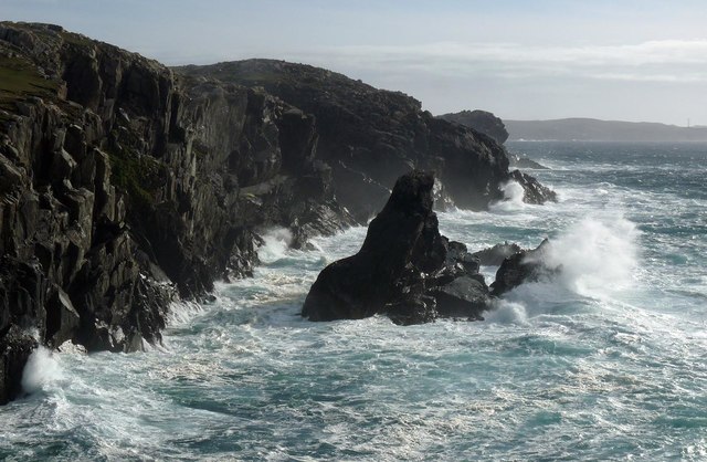
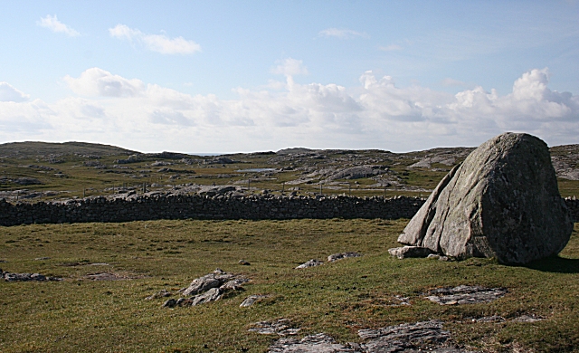
Standing at an elevation of approximately 100 meters, Leac Lodrabrie offers a commanding view of the surrounding area. Its cliffs, made up of sedimentary rocks, provide a striking backdrop to the crashing waves below. The headland is primarily composed of sandstone and shale, which have been eroded over time to create fascinating rock formations and caves.

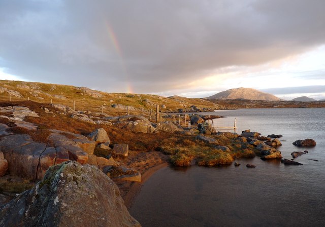
The area surrounding Leac Lodrabrie is rich in biodiversity. The headland is home to a variety of seabirds, including guillemots, kittiwakes, and razorbills, which nest on the cliffs. It also serves as an important habitat for marine life, with seals and dolphins often spotted in the waters below.

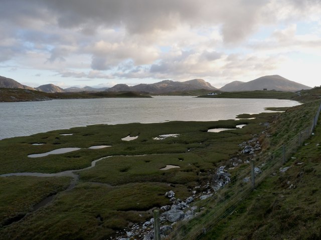
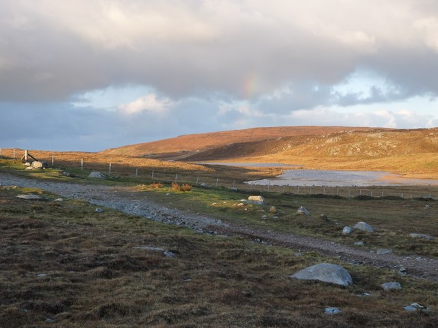
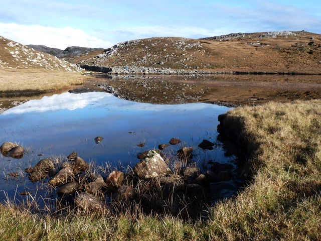
Access to Leac Lodrabrie is relatively easy, with a well-maintained footpath leading visitors to the headland. The path offers numerous opportunities for hikers and nature enthusiasts to explore the area and enjoy the stunning coastal scenery. However, caution is advised due to the steep cliffs, and visitors are advised to stay on designated paths for their safety.

Leac Lodrabrie is a captivating coastal feature that showcases the raw beauty of the Scottish Highlands. Its dramatic cliffs, diverse wildlife, and breathtaking views make it a must-visit destination for those seeking a true coastal experience.

If you have any feedback on the listing, please let us know in the comments section below.

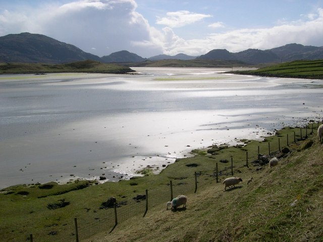
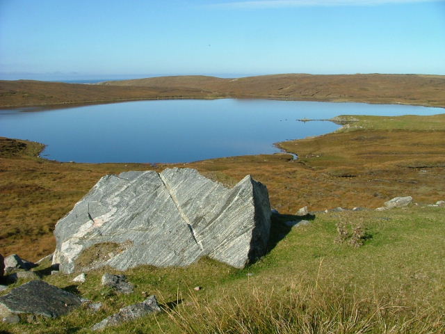
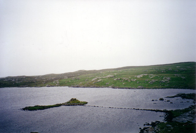
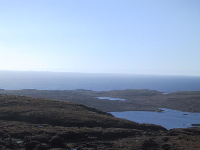
Leac Lodrabrie Images

Images are sourced within 2km of 58.209353/-7.0549004 or Grid Reference NB0335. Thanks to Geograph Open Source API. All images are credited.

Coastline, Geòdha Nasabhaig, Isle of Lewis
Saltings at Tobta On the way to Cradhlastadh
Saltings at Tobta
On the way to Cradhlastadh
Evening light on Loch Steiseal
A fence ends in Loch Barabhat The last post is fixed in the water, in an often vain attempt, to contain the sheep and cattle.
A fence ends in Loch Barabhat
The last post is fixed in the water, in an often vain attempt, to contain the sheep and cattle.
Old lazy-beds at Cradhlastadh
Loch Braigh a' Mhill
Sgeir Fhiabhaig Taras
Rough croft land near Timsgearraidh Mountains in west Lewis beyond Uig Bay in the distance
Rough croft land near Timsgearraidh
Mountains in west Lewis beyond Uig Bay in the distance
Sheep beside Traigh nan Sruban This image was taken near low tide and the sand was easily crossed on foot at this time (without getting wet).
Sheep beside Traigh nan Sruban
This image was taken near low tide and the sand was easily crossed on foot at this time (without getting wet).
Loch Meacleit On Aird Uig.
Loch Meacleit
On Aird Uig.
Dun Baravat Dun Baravat and its 100-foot long causeway in Loch Baravat.
Dun Baravat
Dun Baravat and its 100-foot long causeway in Loch Baravat.
Loch Mheacleit with Flannan Isles behind
Traigh na Sruban From the remains of an old settlement at the head of Traigh na Sruban ("cockle beach"), looking across to Crowlista.
Traigh na Sruban
From the remains of an old settlement at the head of Traigh na Sruban ("cockle beach"), looking across to Crowlista.
North Atlantic Ocean from Uig The Flannan Isles are just visible in the distance
North Atlantic Ocean from Uig
The Flannan Isles are just visible in the distance
Loch Mheacleit Looking south across the loch, with the Uig Hills in the distance, possibly Tahabhal on the left and Mealisbhal on the right. There is a tall cairn on a spit of low-lying land in the loch.
Loch Mheacleit
Looking south across the loch, with the Uig Hills in the distance, possibly Tahabhal on the left and Mealisbhal on the right. There is a tall cairn on a spit of low-lying land in the loch.
Druim Ranngaro An ice-smoothed erratic perches on the summit of the low ridge at Cradhlasta. Beyond the wall is cnoc-and-lochan topography typical of the Lewisian gneiss.
Druim Ranngaro
An ice-smoothed erratic perches on the summit of the low ridge at Cradhlasta. Beyond the wall is cnoc-and-lochan topography typical of the Lewisian gneiss.
Sheep Pens The pens were being used to dose and inject this year's new lambs against the various ills which can befall them.
Sheep Pens
The pens were being used to dose and inject this year's new lambs against the various ills which can befall them.
Job Done The lambs have all been caught, dosed, injected and marked, and this flock is now free to leave the pen.
Job Done
The lambs have all been caught, dosed, injected and marked, and this flock is now free to leave the pen.
Show me another place!

Leac Lodrabrie is located at Grid Ref: NB0335 (Lat: 58.209353, Lng: -7.0549004)

Unitary Authority: Na h-Eileanan an Iar

Police Authority: Highlands and Islands

What 3 Words

///slams.skin.yacht. Near Carloway, Na h-Eileanan Siar

Related Wikis

Camas Uig

Camas Uig (Uig Bay) is a bay on the west coast of the Isle of Lewis, in the Outer Hebrides of Scotland. The Lewis Chessmen were discovered in the dunes...

Timsgarry

Timsgarry (Scottish Gaelic: Tuimisgearraidh) is a village on the Isle of Lewis, in the Outer Hebrides, Scotland. Timsgarry is home to the Baile na Cille...

Aird Uig

Aird Uig (Scottish Gaelic: Àird Ùig) is a village on the Isle of Lewis, in the Outer Hebrides, Scotland. Aird Uig is within the parish of Uig, and is situated...

Ardroil

Ardroil (Scottish Gaelic: Eadar Dhà Fhadhail) is a village on the Isle of Lewis in the Outer Hebrides, Scotland. Ardroil is within the parish of Uig....

Have you been to Leac Lodrabrie?

Leave your review of Leac Lodrabrie below (or comments, questions and feedback).