Cnoc Mairstean

Hill, Mountain in Ross-shire

Scotland

Cnoc Mairstean

Baile-na-Cille, Lewis, 1989
Baile-na-Cille, Lewis, 1989 Credit: Nigel Thompson

Cnoc Mairstean, located in Ross-shire, Scotland, is a prominent hill that boasts breathtaking natural beauty and historical significance. Rising to an elevation of approximately 286 meters (938 feet), it offers stunning panoramic views of the surrounding landscape, including the picturesque village of Alness and the Cromarty Firth.

This hill is a popular destination for hikers and nature enthusiasts, as it provides a relatively easy climb with well-defined paths and gentle slopes. The terrain is characterized by heather-covered moorland, rocky outcrops, and scattered birch and pine trees. Its diverse flora and fauna make it an ideal spot for wildlife watching, with sightings of red deer, buzzards, and various songbirds being common.

Alongside its natural charm, Cnoc Mairstean holds historical significance. The hill is home to several ancient remains, including a vitrified fort believed to date back to the Iron Age. Vitrification is a process where stone walls are fused together using intense heat, which speaks to the hill's historic importance and the skilled craftsmanship of its ancient inhabitants.

Visitors to Cnoc Mairstean can explore the fort's ruins and gain insight into the area's rich history. The hill also offers a peaceful and tranquil escape from the hustle and bustle of everyday life, providing an opportunity to immerse oneself in the beauty of the Scottish Highlands. Whether for a leisurely stroll or a more challenging hike, Cnoc Mairstean promises a rewarding and memorable experience for all who venture to its summit.

If you have any feedback on the listing, please let us know in the comments section below.

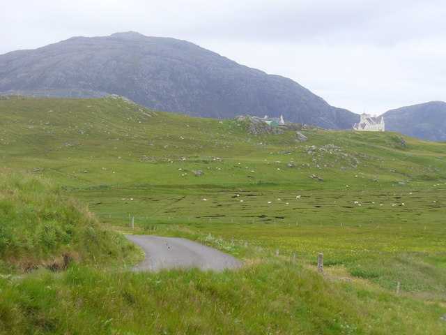
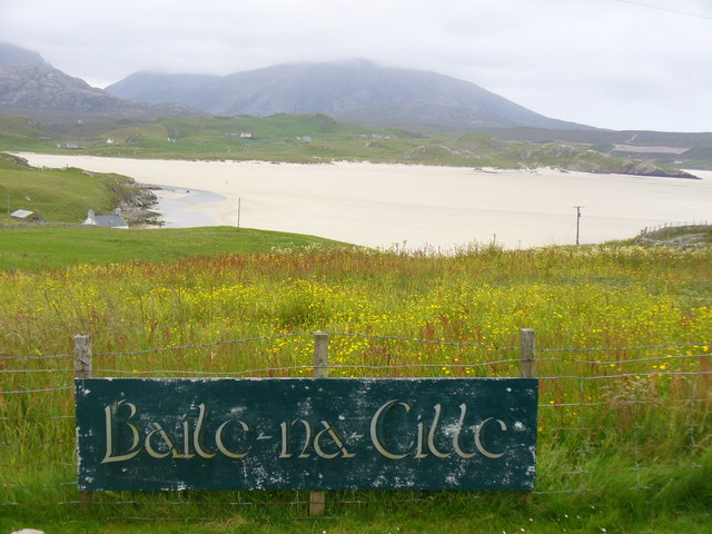
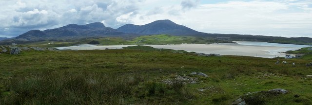
Cnoc Mairstean Images

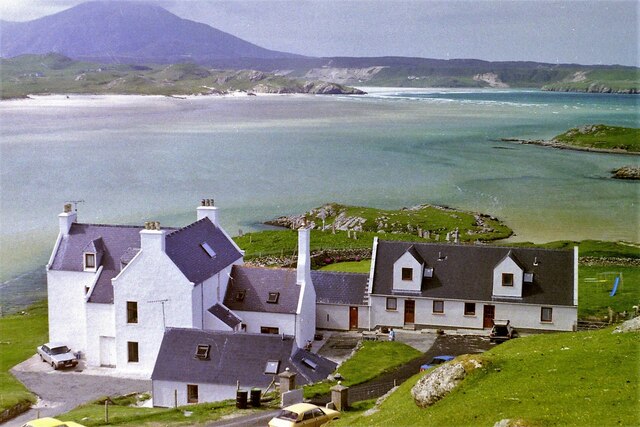
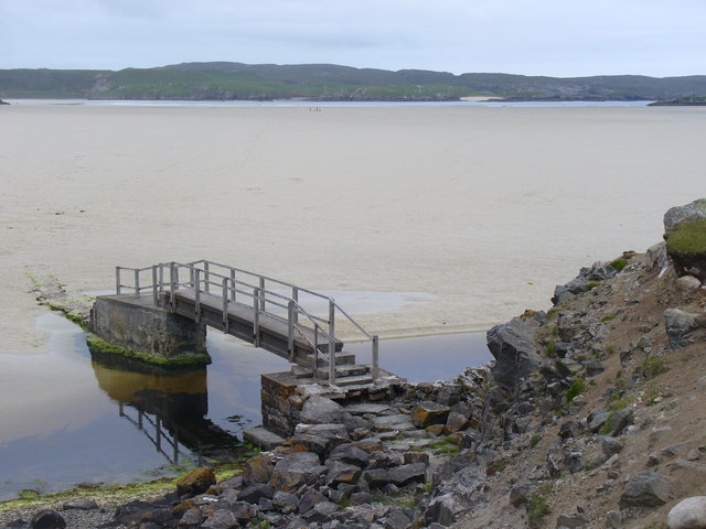
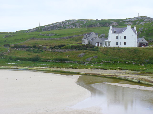
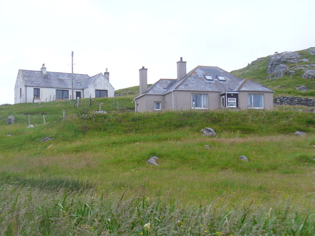
Images are sourced within 2km of 58.205226/-7.0430123 or Grid Reference NB0335. Thanks to Geograph Open Source API. All images are credited.

Baile-na-Cille, Lewis, 1989
Borranais a Muigh The northern end of Traigh Uige's expanses of sand flats with the 1980 footbridge across the river close to Dun Borranais.
<span class="nowrap"><a title="http://www.uigandbernera.com/" rel="nofollow ugc noopener" href="http://www.uigandbernera.com/">Link</a><img style="margin-left:2px;" alt="External link" title="External link - shift click to open in new window" src="https://s1.geograph.org.uk/img/external.png" width="10" height="10"/></span>
Borranais a Muigh
The northern end of Traigh Uige's expanses of sand flats with the 1980 footbridge across the river close to Dun Borranais. LinkExternal link
Old Manse at Baile na Cille Above Traigh na Cille, the northern end of Traigh Uige's expansive sand flats.
<span class="nowrap"><a title="http://www.uigandbernera.com/" rel="nofollow ugc noopener" href="http://www.uigandbernera.com/">Link</a><img style="margin-left:2px;" alt="External link" title="External link - shift click to open in new window" src="https://s1.geograph.org.uk/img/external.png" width="10" height="10"/></span>
Old Manse at Baile na Cille
Above Traigh na Cille, the northern end of Traigh Uige's expansive sand flats. LinkExternal link
Baile na Cille Crofts on the grassy hillside west of Timsgearraidh, Uig.
<span class="nowrap"><a title="http://www.uigandbernera.com/" rel="nofollow ugc noopener" href="http://www.uigandbernera.com/">Link</a><img style="margin-left:2px;" alt="External link" title="External link - shift click to open in new window" src="https://s1.geograph.org.uk/img/external.png" width="10" height="10"/></span>
Baile na Cille
Crofts on the grassy hillside west of Timsgearraidh, Uig. LinkExternal link
Erista, Uig Former lazy beds in the river valley below Uig Lodge. The mountain on the skyline is Suaineabhat (429m).
<span class="nowrap"><a title="http://www.uigandbernera.com/" rel="nofollow ugc noopener" href="http://www.uigandbernera.com/">Link</a><img style="margin-left:2px;" alt="External link" title="External link - shift click to open in new window" src="https://s1.geograph.org.uk/img/external.png" width="10" height="10"/></span>
Erista, Uig
Former lazy beds in the river valley below Uig Lodge. The mountain on the skyline is Suaineabhat (429m). LinkExternal link
Baile-na-Cille View from the road end, across the machair, to Traigh na Cille and Traigh Uige.
<span class="nowrap"><a title="http://www.uigandbernera.com/" rel="nofollow ugc noopener" href="http://www.uigandbernera.com/">Link</a><img style="margin-left:2px;" alt="External link" title="External link - shift click to open in new window" src="https://s1.geograph.org.uk/img/external.png" width="10" height="10"/></span>
Baile-na-Cille
View from the road end, across the machair, to Traigh na Cille and Traigh Uige. LinkExternal link
Uig War Memorial On the hillside at Timsgearraidh, Uig with the former church behind it. The church has planning permission to be converted to residential property (2011).
<span class="nowrap"><a title="http://www.uigandbernera.com/" rel="nofollow ugc noopener" href="http://www.uigandbernera.com/">Link</a><img style="margin-left:2px;" alt="External link" title="External link - shift click to open in new window" src="https://s1.geograph.org.uk/img/external.png" width="10" height="10"/></span>
Uig War Memorial
On the hillside at Timsgearraidh, Uig with the former church behind it. The church has planning permission to be converted to residential property (2011). LinkExternal link
Berserker at Uig 8 feet tall wooden sculpture of a Lewis Chessman outside the Uig Heritage Centre. Taken just a few weeks before some of the original chessmen were displayed for a day at the museum.
<span class="nowrap"><a title="http://www.uigandbernera.com/" rel="nofollow ugc noopener" href="http://www.uigandbernera.com/">Link</a><img style="margin-left:2px;" alt="External link" title="External link - shift click to open in new window" src="https://s1.geograph.org.uk/img/external.png" width="10" height="10"/></span>
Berserker at Uig
8 feet tall wooden sculpture of a Lewis Chessman outside the Uig Heritage Centre. Taken just a few weeks before some of the original chessmen were displayed for a day at the museum. LinkExternal link
Uig Heritage Centre and Museum Some of the exhibits showing local culture and history at Uig - including font, querns and stone mould for oil lamps.
<span class="nowrap"><a title="http://www.uigandbernera.com/" rel="nofollow ugc noopener" href="http://www.uigandbernera.com/">Link</a><img style="margin-left:2px;" alt="External link" title="External link - shift click to open in new window" src="https://s1.geograph.org.uk/img/external.png" width="10" height="10"/></span>
Uig Heritage Centre and Museum
Some of the exhibits showing local culture and history at Uig - including font, querns and stone mould for oil lamps. LinkExternal link
Uig Heritage Centre Incorporating an interesting local museum at Timsgearraidh / Timsgarry, Uig. Old querns and mill stones lie in front. The adjoining building is the local primary school.
<span class="nowrap"><a title="http://www.uigandbernera.com/" rel="nofollow ugc noopener" href="http://www.uigandbernera.com/">Link</a><img style="margin-left:2px;" alt="External link" title="External link - shift click to open in new window" src="https://s1.geograph.org.uk/img/external.png" width="10" height="10"/></span>
Uig Heritage Centre
Incorporating an interesting local museum at Timsgearraidh / Timsgarry, Uig. Old querns and mill stones lie in front. The adjoining building is the local primary school. LinkExternal link
Little church at Timsgearraidh (Timsgarry) Timsgarry is a quite spread-out settlement in the Uig area of Lewis. This little church is perched on the upper of two roughly parallel roads in the village, overlooking the expanse of sand forming Traigh Uige. (see <a href="https://www.geograph.org.uk/photo/2651142">NB0433 : Traigh Uige</a>)
The maps show this area (or perhaps the field behind the church) to be called Sidhean Sarstail.
Little church at Timsgearraidh (Timsgarry)
Timsgarry is a quite spread-out settlement in the Uig area of Lewis. This little church is perched on the upper of two roughly parallel roads in the village, overlooking the expanse of sand forming Traigh Uige. (see NB0433 : Traigh Uige) The maps show this area (or perhaps the field behind the church) to be called Sidhean Sarstail.
Traigh Uige Taken from next to <a href="https://www.geograph.org.uk/photo/2651138">NB0534 : Little church at Timsgearraidh (Timsgarry)</a> looking over the vast expanse of sand of Traigh Uige, with the mountains of Mealasta beyond.
Traigh Uige
Taken from next to NB0534 : Little church at Timsgearraidh (Timsgarry) looking over the vast expanse of sand of Traigh Uige, with the mountains of Mealasta beyond.
Timsgearraidh (Timsgarry) settlement Taken from next to <a href="https://www.geograph.org.uk/photo/2651138">NB0534 : Little church at Timsgearraidh (Timsgarry)</a> looking approximately southwest across the scattered cottages to the bay of Camas Uig and the far peninsula of Aird Mhor Mhangarstaidh.
Timsgearraidh (Timsgarry) settlement
Taken from next to NB0534 : Little church at Timsgearraidh (Timsgarry) looking approximately southwest across the scattered cottages to the bay of Camas Uig and the far peninsula of Aird Mhor Mhangarstaidh.
The Manse, Timsgearraidh (Timsgarry) Viewed across the expanse of Traigh Uige (Uig Beach), Timsgarry Manse stands out white against the greens and fawns of the landscape. The little area of beach directly in front of the house is Traigh na Cille; cille is Gaelic for church or burial place, which accords well with the manse (the minister's house).
The Manse, Timsgearraidh (Timsgarry)
Viewed across the expanse of Traigh Uige (Uig Beach), Timsgarry Manse stands out white against the greens and fawns of the landscape. The little area of beach directly in front of the house is Traigh na Cille; cille is Gaelic for church or burial place, which accords well with the manse (the minister's house).
Burial Ground at Traigh na Cille Such a beautiful place to be buried.  Looking at its best early on a summer morning. Uig is surely a place that would have been famous even without the discovery of the Chessmen.
Burial Ground at Traigh na Cille
Such a beautiful place to be buried. Looking at its best early on a summer morning. Uig is surely a place that would have been famous even without the discovery of the Chessmen.
On a walk before breakfast at the Baile na Cille Guest House A perfect combination.  Beautiful weather at Uig and the fine ambiance of Baile na Cille with sea trout and lobsters on the evening menu and a delayed breakfast for those who just had to grab their cameras and catch Uig at its best.  Later that day the Uig Hills were climbed as the great weather continued.  I wonder just where the Uig Chessmen were found?
On a walk before breakfast at the Baile na Cille Guest House
A perfect combination. Beautiful weather at Uig and the fine ambiance of Baile na Cille with sea trout and lobsters on the evening menu and a delayed breakfast for those who just had to grab their cameras and catch Uig at its best. Later that day the Uig Hills were climbed as the great weather continued. I wonder just where the Uig Chessmen were found?
Baile-na-Cille Guesthouse in 1986 Whether the tide is in or not the area is outstanding in good weather and the guest house has the very best location.  In 1986 and through to the present day the guest house is advertised with an idyllic image of the house and Uig Sands with the words "Rush hour at Baile-na-Cille".  The house was the Manse in earlier days.
Baile-na-Cille Guesthouse in 1986
Whether the tide is in or not the area is outstanding in good weather and the guest house has the very best location. In 1986 and through to the present day the guest house is advertised with an idyllic image of the house and Uig Sands with the words "Rush hour at Baile-na-Cille". The house was the Manse in earlier days.
Church at Timsgearraidh
Show me another place!

Cnoc Mairstean is located at Grid Ref: NB0335 (Lat: 58.205226, Lng: -7.0430123)

Unitary Authority: Na h-Eileanan an Iar

Police Authority: Highlands and Islands

What 3 Words

///obscuring.haircuts.congratulations. Near Carloway, Na h-Eileanan Siar

Related Wikis

Camas Uig

Camas Uig (Uig Bay) is a bay on the west coast of the Isle of Lewis, in the Outer Hebrides of Scotland. The Lewis Chessmen were discovered in the dunes...

Timsgarry

Timsgarry (Scottish Gaelic: Tuimisgearraidh) is a village on the Isle of Lewis, in the Outer Hebrides, Scotland. Timsgarry is home to the Baile na Cille...

Aird Uig

Aird Uig (Scottish Gaelic: Àird Ùig) is a village on the Isle of Lewis, in the Outer Hebrides, Scotland. Aird Uig is within the parish of Uig, and is situated...

Ardroil

Ardroil (Scottish Gaelic: Eadar Dhà Fhadhail) is a village on the Isle of Lewis in the Outer Hebrides, Scotland. Ardroil is within the parish of Uig....

Have you been to Cnoc Mairstean?

Leave your review of Cnoc Mairstean below (or comments, questions and feedback).