Àird an Fhiodha

Landscape Feature in Ross-shire

Scotland

Àird an Fhiodha

Baile-na-Cille, Lewis, 1989
Baile-na-Cille, Lewis, 1989 Credit: Nigel Thompson

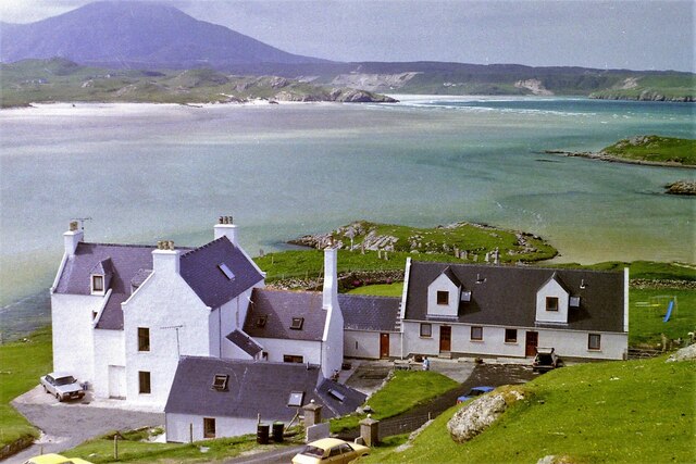
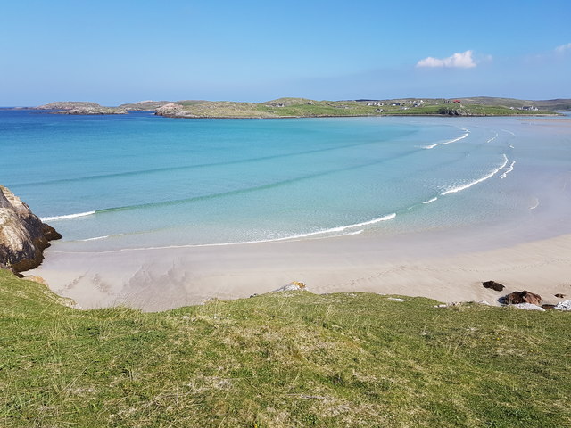
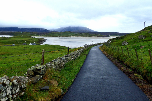
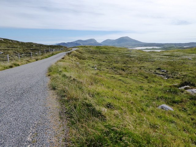
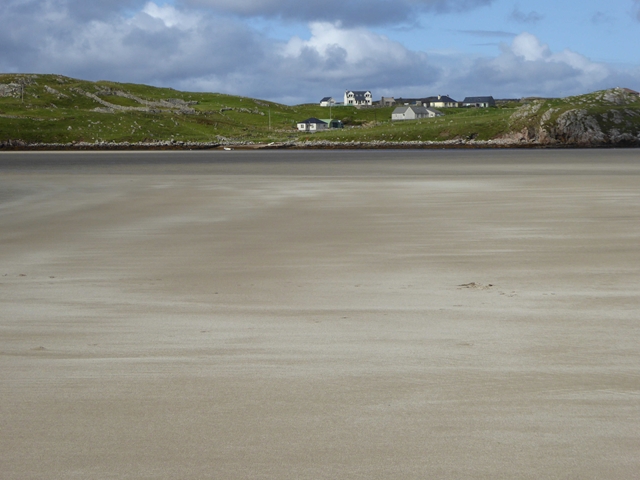
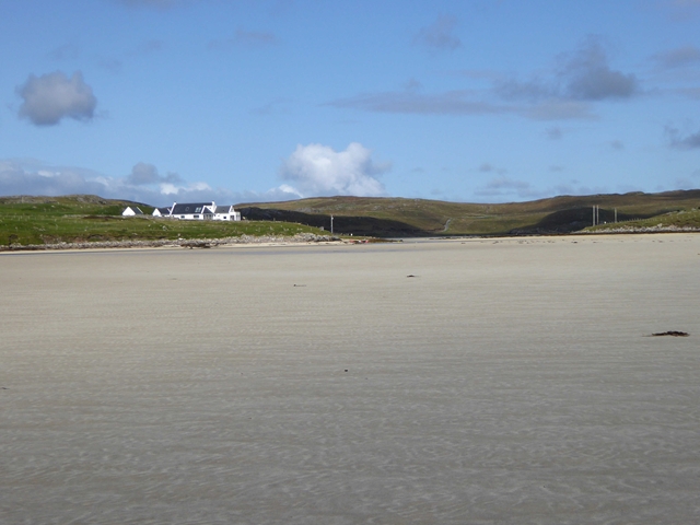
Àird an Fhiodha is a picturesque landscape feature located in Ross-shire, Scotland. Situated on the northwest coast of the country, it offers breathtaking views of the surrounding natural beauty. The name Àird an Fhiodha translates to "the headland of the trees," which aptly describes the area's lush vegetation.

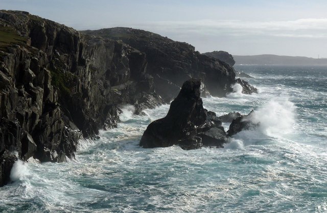
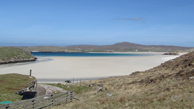
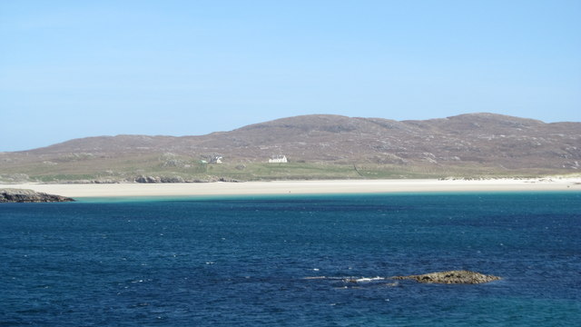
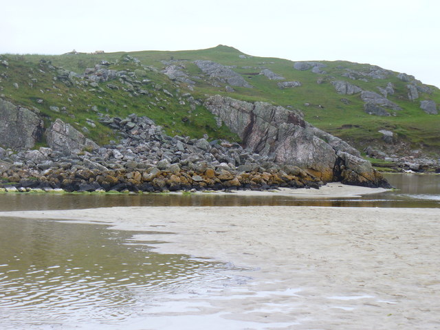
This landscape feature is characterized by its rugged coastline, with cliffs that drop dramatically into the sea. The rocky terrain is interspersed with pockets of sandy beaches, providing a striking contrast to the jagged cliffs. The area is also home to an abundance of wildlife, including various bird species such as puffins and gannets, which nest along the cliffs.

One of the most notable features of Àird an Fhiodha is its dense woodland. The trees, predominantly Scots pine and oak, create a vibrant and diverse ecosystem. The woodland provides shelter for a range of animals, from deer and red squirrels to a variety of bird species. Visitors can explore the woodland through a network of walking trails that wind through the trees, offering a peaceful and immersive experience.

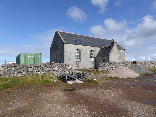
In addition to its natural beauty, Àird an Fhiodha boasts historical significance. The area is dotted with remnants of ancient settlements, including standing stones and burial cairns, providing a glimpse into the region's rich history.

Overall, Àird an Fhiodha is a captivating landscape feature that combines stunning coastal views, diverse wildlife, and an enchanting woodland, making it a must-visit destination for nature enthusiasts and history buffs alike.

If you have any feedback on the listing, please let us know in the comments section below.

Àird an Fhiodha Images

Images are sourced within 2km of 58.201532/-7.048384 or Grid Reference NB0334. Thanks to Geograph Open Source API. All images are credited.

Baile-na-Cille, Lewis, 1989
Tom A small tidal island near Carnais.
Tom
A small tidal island near Carnais.
Coastline, Geòdha Nasabhaig, Isle of Lewis
Uig Sands, looking N from Carnish They say Uig Sands are the best beach in Scotland, and I've never seen a beach as good.  Very large area of sand, turquoise/azure sea becoming dark blue, transparent sea water, shoreline not built up.  The beach was very crowded: there was a single person visible on the sand.
Uig Sands, looking N from Carnish
They say Uig Sands are the best beach in Scotland, and I've never seen a beach as good. Very large area of sand, turquoise/azure sea becoming dark blue, transparent sea water, shoreline not built up. The beach was very crowded: there was a single person visible on the sand.
Uig Sands, Northern part, seen from Carnish area This photo does not do justice to the huge size of the northern part of Uig Sands.
Uig Sands, Northern part, seen from Carnish area
This photo does not do justice to the huge size of the northern part of Uig Sands.
Uig Bay A fine warm, sunny day in May 2017
Uig Bay
A fine warm, sunny day in May 2017
Track to Baile na Cille
Minor road from Aird Uig towards Timsgarry
The sands of Tràigh Ùige At low tide, the sands are uncovered over most of the bay. The village of Crowlista is seen on the far shore.
The sands of Tràigh Ùige
At low tide, the sands are uncovered over most of the bay. The village of Crowlista is seen on the far shore.
The sands of Tràigh Ùige At low tide, the sands are uncovered over most of the bay. Looking into the mouth of Tràigh nan Srùban, a side bay which also dries out at low tide.
The sands of Tràigh Ùige
At low tide, the sands are uncovered over most of the bay. Looking into the mouth of Tràigh nan Srùban, a side bay which also dries out at low tide.
The sands of Tràigh Ùige At low tide, the sands are uncovered over most of the bay. The houses of Timsgarry can be seen on the far shore.
The sands of Tràigh Ùige
At low tide, the sands are uncovered over most of the bay. The houses of Timsgarry can be seen on the far shore.
Abandoned church at Uig Looking sadly neglected. See also <a href="https://www.geograph.org.uk/photo/1454265">NB0534 : Disused church at Uig</a> and <a href="https://www.geograph.org.uk/photo/2651138">NB0534 : Little church at Timsgearraidh (Timsgarry)</a>.
Abandoned church at Uig
View from Timsgarry Looking across the sands of Tràigh Ùige towards the mountains of south Lewis.
View from Timsgarry
Looking across the sands of Tràigh Ùige towards the mountains of south Lewis.
Camas Uig Bay Taken on film in 2002.

This wonderful sandy bay is the site where the Lewis Chessmen were found in the dunes behind the beach in 1831. Though where exactly that was I do not know and I suspect very few people do.
Camas Uig Bay
Taken on film in 2002. This wonderful sandy bay is the site where the Lewis Chessmen were found in the dunes behind the beach in 1831. Though where exactly that was I do not know and I suspect very few people do.
Traigh Uige at Cradhlastadh The hill is Mealaisbhal.
Traigh Uige at Cradhlastadh
The hill is Mealaisbhal.
Footbridge at Traigh Uige
Outflow at Tràigh Ùige Rivermouth where the outflow is hemmed beneath rocky crags.
<span class="nowrap"><a title="http://www.uigandbernera.com/" rel="nofollow ugc noopener" href="http://www.uigandbernera.com/">Link</a><img style="margin-left:2px;" alt="External link" title="External link - shift click to open in new window" src="https://s1.geograph.org.uk/img/external.png" width="10" height="10"/></span>
Outflow at Tràigh Ùige
Rivermouth where the outflow is hemmed beneath rocky crags. LinkExternal link
Footbridge at Uig Sands 1980 wooden footbridge connecting Traigh Uige with the rocky promontory above Dun Borranais.
<span class="nowrap"><a title="http://www.uigandbernera.com/" rel="nofollow ugc noopener" href="http://www.uigandbernera.com/">Link</a><img style="margin-left:2px;" alt="External link" title="External link - shift click to open in new window" src="https://s1.geograph.org.uk/img/external.png" width="10" height="10"/></span>
Footbridge at Uig Sands
1980 wooden footbridge connecting Traigh Uige with the rocky promontory above Dun Borranais. LinkExternal link
Show me another place!

Àird an Fhiodha is located at Grid Ref: NB0334 (Lat: 58.201532, Lng: -7.048384)

Unitary Authority: Na h-Eileanan an Iar

Police Authority: Highlands and Islands

What 3 Words

///relating.incur.credible. Near Carloway, Na h-Eileanan Siar

Related Wikis

Timsgarry

Timsgarry (Scottish Gaelic: Tuimisgearraidh) is a village on the Isle of Lewis, in the Outer Hebrides, Scotland. Timsgarry is home to the Baile na Cille...

Camas Uig

Camas Uig (Uig Bay) is a bay on the west coast of the Isle of Lewis, in the Outer Hebrides of Scotland. The Lewis Chessmen were discovered in the dunes...

Ardroil

Ardroil (Scottish Gaelic: Eadar Dhà Fhadhail) is a village on the Isle of Lewis in the Outer Hebrides, Scotland. Ardroil is within the parish of Uig....

Uig, Lewis

Uig (Scottish Gaelic: Ùig [uːkʲ]), also known as Sgìr' Ùig, is a civil parish and community in the west of the Isle of Lewis in the Outer Hebrides, Scotland...

Abhainn Dearg distillery

Abhainn Dearg distillery ( AV-in JAIRG) or Red River distillery is a Scotch whisky distillery in Uig, on the west coast of the Isle of Lewis in the Outer...

Aird Uig

Aird Uig (Scottish Gaelic: Àird Ùig) is a village on the Isle of Lewis, in the Outer Hebrides, Scotland. Aird Uig is within the parish of Uig, and is situated...

Stac Dhòmhnaill Chaim

Stac Dhòmnuill Chaim, or Stac Dhòmhnaill Chaim, or Stac Domhnuill Chaim, is a fortified promontory located near Mangursta (or Mangersta, Scottish Gaelic...

Cliff, Lewis

Cliff (Scottish Gaelic: Cliobh) is a small settlement on the Isle of Lewis, in the Outer Hebrides, Scotland. Cliff is within the parish of Uig. The settlement...

Have you been to Àird an Fhiodha?

Leave your review of Àird an Fhiodha below (or comments, questions and feedback).