Upper Pond

Lake, Pool, Pond, Freshwater Marsh in Sussex Mid Sussex

England

Upper Pond

House on Staplefield Road This is called "Brook Cottage", according to the large scale map.
House on Staplefield Road Credit: Ian Cunliffe

Upper Pond is a picturesque freshwater body located in Sussex, England. It is a small yet enchanting water feature that encompasses the characteristics of a lake, pool, pond, and freshwater marsh. With a surface area of approximately 2 acres, it provides a serene and tranquil environment for nature enthusiasts and visitors alike.

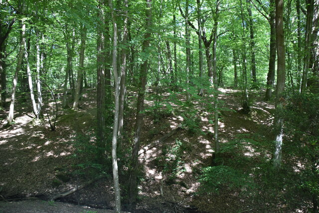
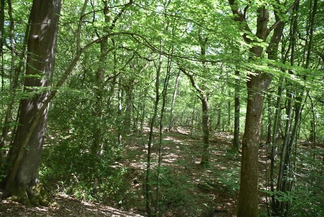
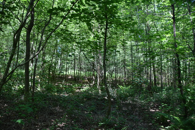
This natural waterbody is surrounded by lush greenery, creating a stunning backdrop for its crystal-clear waters. The pond is fed by a combination of underground springs and rainfall, ensuring a constant flow of freshwater throughout the year. The calm and undisturbed nature of Upper Pond makes it an ideal habitat for a diverse range of aquatic flora and fauna.

The pond's shoreline is adorned with a variety of aquatic plants, including lily pads, reeds, and water lilies, adding to its aesthetic appeal. These plants also serve as a haven for numerous species of birds, frogs, and insects. The pond teems with life, as countless fish, such as carp and perch, swim beneath its surface.

Upper Pond offers recreational activities such as fishing, bird-watching, and nature walks. Visitors can indulge in the peacefulness of the surroundings while observing the abundant wildlife. Its idyllic setting also makes it a popular spot for picnics and photography enthusiasts.

Overall, Upper Pond in Sussex is a haven of natural beauty, combining the characteristics of a lake, pool, pond, and freshwater marsh. Its calm waters, thriving ecosystem, and picturesque surroundings make it a must-visit destination for anyone seeking tranquility and a close connection with nature.

If you have any feedback on the listing, please let us know in the comments section below.
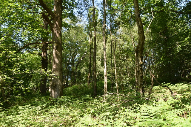
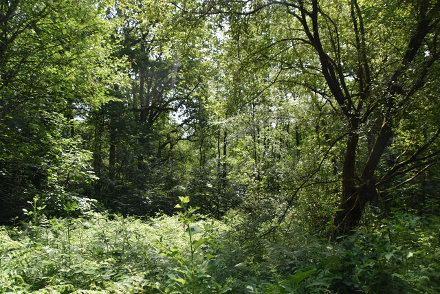
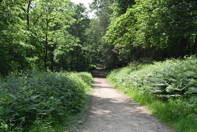
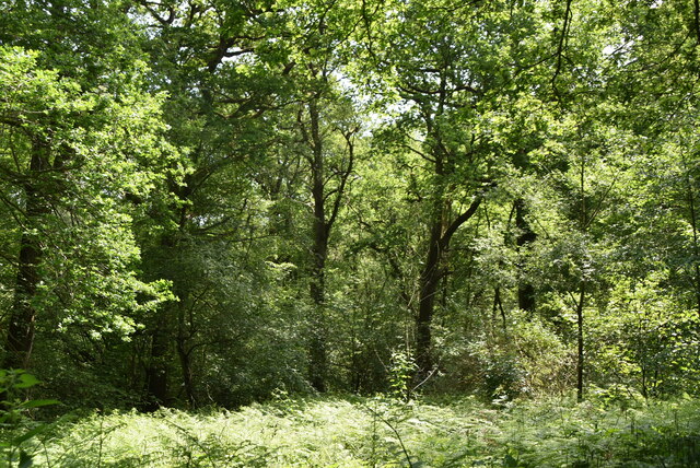
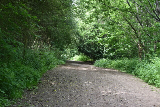
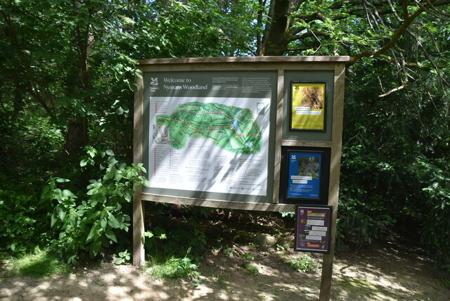
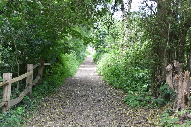
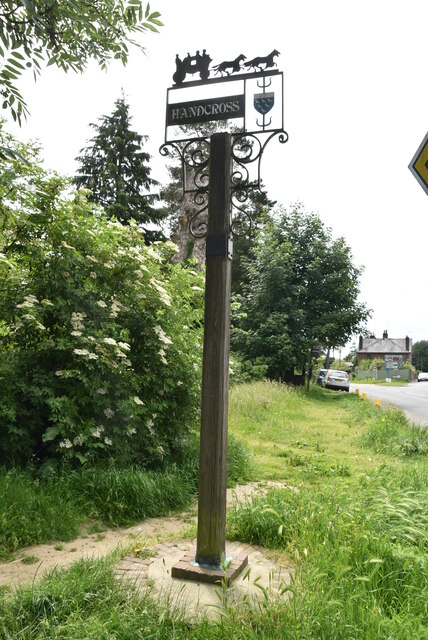
Upper Pond Images

Images are sourced within 2km of 51.055388/-0.2184166 or Grid Reference TQ2429. Thanks to Geograph Open Source API. All images are credited.

House on Staplefield Road This is called "Brook Cottage", according to the large scale map.
House on Staplefield Road
This is called "Brook Cottage", according to the large scale map.
Nymans Woodland Nymans Woods are 90 hectares of ancient woodland attached to Nymans Gardens, which is managed by the National Trust.
Nymans Woodland
Nymans Woods are 90 hectares of ancient woodland attached to Nymans Gardens, which is managed by the National Trust.
Nymans Woodland Nymans Woods are 90 hectares of ancient woodland attached to Nymans Gardens, which is managed by the National Trust.
Nymans Woodland
Nymans Woods are 90 hectares of ancient woodland attached to Nymans Gardens, which is managed by the National Trust.
Nymans Woodland Nymans Woods are 90 hectares of ancient woodland attached to Nymans Gardens, which is managed by the National Trust.
Nymans Woodland
Nymans Woods are 90 hectares of ancient woodland attached to Nymans Gardens, which is managed by the National Trust.
Nymans Woodland Nymans Woods are 90 hectares of ancient woodland attached to Nymans Gardens, which is managed by the National Trust.
Nymans Woodland
Nymans Woods are 90 hectares of ancient woodland attached to Nymans Gardens, which is managed by the National Trust.
Nymans Woodland Nymans Woods are 90 hectares of ancient woodland attached to Nymans Gardens, which is managed by the National Trust.
Nymans Woodland
Nymans Woods are 90 hectares of ancient woodland attached to Nymans Gardens, which is managed by the National Trust.
Sussex Ouse Valley Way, Nymans Woodland Opened in 2005, the Sussex Ouse Valley Way is a beautiful 42 mile journey that broadly follows the River Ouse from its source close to Lower Beeding in the High Weald to the sea at Seaford Bay. It is signed using a picture of the Ouse Valley Viaduct. Website: <span class="nowrap"><a title="http://www.sussexousevalleyway.co.uk/index.htm" rel="nofollow ugc noopener" href="http://www.sussexousevalleyway.co.uk/index.htm">Link</a><img style="margin-left:2px;" alt="External link" title="External link - shift click to open in new window" src="https://s1.geograph.org.uk/img/external.png" width="10" height="10"/></span>
Sussex Ouse Valley Way, Nymans Woodland
Opened in 2005, the Sussex Ouse Valley Way is a beautiful 42 mile journey that broadly follows the River Ouse from its source close to Lower Beeding in the High Weald to the sea at Seaford Bay. It is signed using a picture of the Ouse Valley Viaduct. Website: LinkExternal link
Welcome to Nymans Woodland Nymans Woods are 90 hectares of ancient woodland attached to Nymans Gardens, which is managed by the National Trust.
Welcome to Nymans Woodland
Nymans Woods are 90 hectares of ancient woodland attached to Nymans Gardens, which is managed by the National Trust.
Sussex Ouse Valley Way Opened in 2005, the Sussex Ouse Valley Way is a beautiful 42 mile journey that broadly follows the River Ouse from its source close to Lower Beeding in the High Weald to the sea at Seaford Bay. It is signed using a picture of the Ouse Valley Viaduct. Website: <span class="nowrap"><a title="http://www.sussexousevalleyway.co.uk/index.htm" rel="nofollow ugc noopener" href="http://www.sussexousevalleyway.co.uk/index.htm">Link</a><img style="margin-left:2px;" alt="External link" title="External link - shift click to open in new window" src="https://s1.geograph.org.uk/img/external.png" width="10" height="10"/></span>
Sussex Ouse Valley Way
Opened in 2005, the Sussex Ouse Valley Way is a beautiful 42 mile journey that broadly follows the River Ouse from its source close to Lower Beeding in the High Weald to the sea at Seaford Bay. It is signed using a picture of the Ouse Valley Viaduct. Website: LinkExternal link
Village sign, Handcross
B2110, B2114 junction The B2110 runs 25 miles from Langton Green <a href="https://www.geograph.org.uk/photo/5257058">TQ5338 : Crockers Hatch Corner</a>, west of Tunbridge Wells, to Lower Beeding. It skirts the northern edge of the Ashdown Forest. It runs through the villages of Groombridge, Hartfield, Withyham and Coleman's Hatch, then Hand Cross, Turners Hill and East Grinstead.
<span class="nowrap"><a title="http://www.sabre-roads.org.uk/wiki/index.php?title=B2110" rel="nofollow ugc noopener" href="http://www.sabre-roads.org.uk/wiki/index.php?title=B2110">Link</a><img style="margin-left:2px;" alt="External link" title="External link - shift click to open in new window" src="https://s1.geograph.org.uk/img/external.png" width="10" height="10"/></span>
B2110, B2114 junction
The B2110 runs 25 miles from Langton Green TQ5338 : Crockers Hatch Corner, west of Tunbridge Wells, to Lower Beeding. It skirts the northern edge of the Ashdown Forest. It runs through the villages of Groombridge, Hartfield, Withyham and Coleman's Hatch, then Hand Cross, Turners Hill and East Grinstead. LinkExternal link
B2110, B2114 junction The B2114 runs 4 miles from Slough Green to Pease Pottage.
<span class="nowrap"><a title="https://www.sabre-roads.org.uk/wiki/index.php?title=B2114" rel="nofollow ugc noopener" href="https://www.sabre-roads.org.uk/wiki/index.php?title=B2114">Link</a><img style="margin-left:2px;" alt="External link" title="External link - shift click to open in new window" src="https://s1.geograph.org.uk/img/external.png" width="10" height="10"/></span>
B2110, B2114 junction
The B2114 runs 4 miles from Slough Green to Pease Pottage. LinkExternal link
The Red Lion The second most popular name for a pub, this name became popular when James I ordered red lions to be displayed outside all public places.
The Red Lion
The second most popular name for a pub, this name became popular when James I ordered red lions to be displayed outside all public places.
High St Handcross is a village in West Sussex, on the A23, 4 miles south of Crawley.
Wikipedia: <span class="nowrap"><a title="https://en.wikipedia.org/wiki/Handcross" rel="nofollow ugc noopener" href="https://en.wikipedia.org/wiki/Handcross">Link</a><img style="margin-left:2px;" alt="External link" title="External link - shift click to open in new window" src="https://s1.geograph.org.uk/img/external.png" width="10" height="10"/></span>
High St
Handcross is a village in West Sussex, on the A23, 4 miles south of Crawley. Wikipedia: LinkExternal link
Spar, Handcross Handcross is a village in West Sussex, on the A23, 4 miles south of Crawley.
Wikipedia: <span class="nowrap"><a title="https://en.wikipedia.org/wiki/Handcross" rel="nofollow ugc noopener" href="https://en.wikipedia.org/wiki/Handcross">Link</a><img style="margin-left:2px;" alt="External link" title="External link - shift click to open in new window" src="https://s1.geograph.org.uk/img/external.png" width="10" height="10"/></span>
Spar, Handcross
Handcross is a village in West Sussex, on the A23, 4 miles south of Crawley. Wikipedia: LinkExternal link
The Old Garage Grade II listed.
The Old Garage
Grade II listed.
Show me another place!

Upper Pond is located at Grid Ref: TQ2429 (Lat: 51.055388, Lng: -0.2184166)

Administrative County: West Sussex

District: Mid Sussex

Police Authority: Sussex

What 3 Words

///smoking.awakes.distilled. Near Handcross, West Sussex

Related Wikis

Handcross Hill bus crash

On 12 July 1906, a bus crashed into a tree on Handcross Hill in Sussex, England, killing 10 people and injuring a further 26 in the worst road crash in...

Handcross

Handcross is a village in the Mid Sussex District of West Sussex, England. It lies on the A23 road 4.2 miles (6.8 kilometres) south of Crawley. At the...

Nymans

Nymans is an English garden to the east of the village of Handcross, and in the civil parish of Slaugham in West Sussex, England. The garden was developed...

Handcross Park School

Handcross Park School is an independent co-educational preparatory school in Handcross, between Crawley, Horsham and Haywards Heath in West Sussex, England...

Slaugham

Slaugham () is a village and civil parish in the Mid Sussex District of West Sussex, England. It is located 7 miles (11 km) to the south of Crawley, on...

St Mary's Church, Slaugham

St Mary's Church is an Anglican church in the village of Slaugham in Mid Sussex, one of seven local government districts in the English county of West...

Cow Wood and Harry's Wood

Cow Wood and Harry's Wood is a 75.5-hectare (187-acre) biological Site of Special Scientific Interest east of Handcross in West Sussex. it is in the High...

Cedars (immigration detention)

Cedars was an immigration detention facility in Crawley, West Sussex, United Kingdom adjacent to Gatwick Airport. It was operated by UK Visas and Immigration...

Nearby Amenities

Located within 500m of 51.055388,-0.2184166
Barrier: swing_gate
Lat/Long: 51.0563064/-0.2225365
Ford: yes
Lat/Long: 51.0584191/-0.2133909
Blackfriars Bridge
Place: locality
Lat/Long: 51.0544612/-0.2141457
The Hyde
Place: isolated_dwelling
Lat/Long: 51.0574678/-0.2225699
Artwork Type: statue
Tourism: artwork
Lat/Long: 51.0575571/-0.2218593
The data included in this document is from www.openstreetmap.org. The data is made available under ODbL.

Have you been to Upper Pond?

Leave your review of Upper Pond below (or comments, questions and feedback).