Carterslodge Pond
Lake, Pool, Pond, Freshwater Marsh in Sussex Horsham
England
Carterslodge Pond
Carterslodge Pond is a picturesque freshwater body located in Sussex, England. Nestled amidst lush greenery and rolling hills, it is often referred to as a lake, pool, pond, or freshwater marsh due to its diverse characteristics. Spanning approximately 2 acres, it offers a tranquil and idyllic setting for nature enthusiasts and locals looking to escape the hustle and bustle of everyday life.
The pond is home to a variety of aquatic plants, including water lilies and reeds, which provide a habitat for numerous species of wildlife. Ducks, swans, and moorhens can often be spotted gracefully gliding across the water's surface, while dragonflies and damselflies flit around the reeds, adding to the pond's vibrant ecosystem.
Fishing is a popular activity at Carterslodge Pond, with anglers often reeling in carp, roach, and perch. The pond is well-stocked, ensuring a rewarding experience for both beginners and experienced fishermen. Additionally, the surrounding area offers ample space for picnics and leisurely walks, allowing visitors to fully immerse themselves in the natural beauty of the pond.
Carterslodge Pond is easily accessible, with nearby parking facilities and well-maintained footpaths leading to its shores. It is a haven for nature lovers, providing an opportunity to observe and appreciate the diverse flora and fauna that thrive in this serene aquatic environment. Whether you're seeking a peaceful retreat or an afternoon of fishing, Carterslodge Pond is a hidden gem waiting to be discovered in the heart of Sussex.
If you have any feedback on the listing, please let us know in the comments section below.
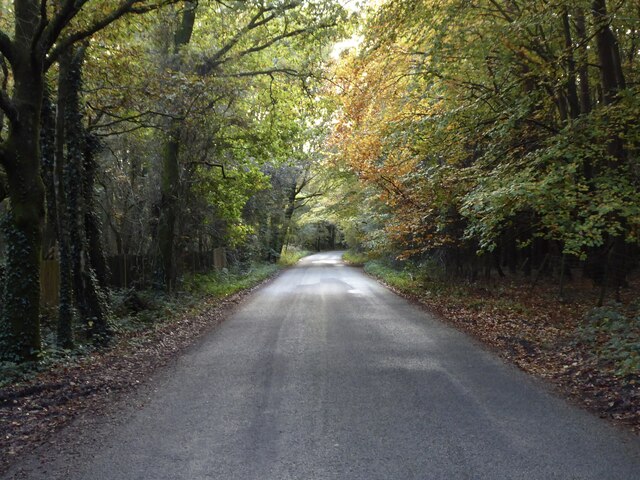
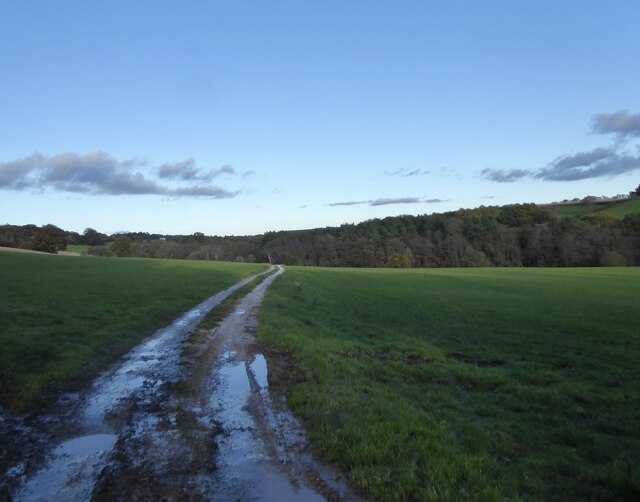
Carterslodge Pond Images
Images are sourced within 2km of 51.052203/-0.22661463 or Grid Reference TQ2429. Thanks to Geograph Open Source API. All images are credited.
Carterslodge Pond is located at Grid Ref: TQ2429 (Lat: 51.052203, Lng: -0.22661463)
Administrative County: West Sussex
District: Horsham
Police Authority: Sussex
What 3 Words
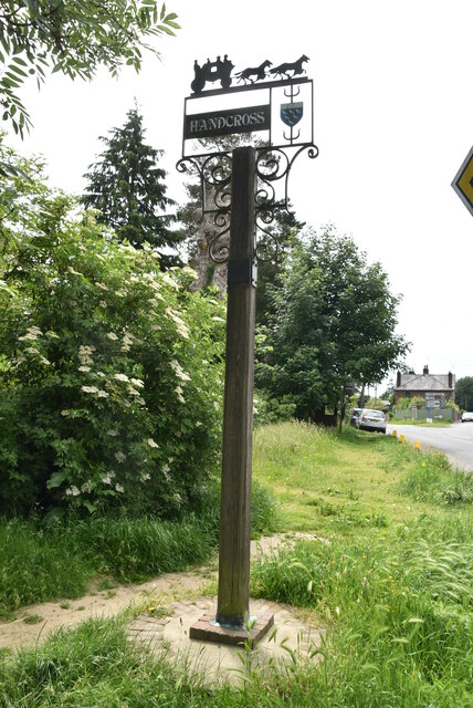
///dined.parsnips.stable. Near Handcross, West Sussex
Related Wikis

Handcross Hill bus crash
On 12 July 1906, a bus crashed into a tree on Handcross Hill in Sussex, England, killing 10 people and injuring a further 26 in the worst road crash in...

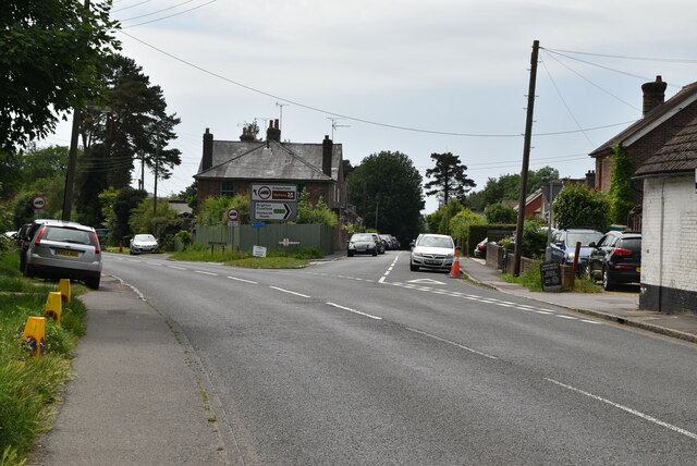
Handcross
Handcross is a village in the Mid Sussex District of West Sussex, England. It lies on the A23 road 4.2 miles (6.8 kilometres) south of Crawley. At the...

Slaugham
Slaugham () is a village and civil parish in the Mid Sussex District of West Sussex, England. It is located 7 miles (11 km) to the south of Crawley, on...

St Mary's Church, Slaugham
St Mary's Church is an Anglican church in the village of Slaugham in Mid Sussex, one of seven local government districts in the English county of West...

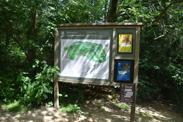
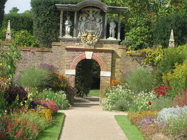
Nymans
Nymans is an English garden to the east of the village of Handcross, and in the civil parish of Slaugham in West Sussex, England. The garden was developed...

Handcross Park School
Handcross Park School is an independent co-educational preparatory school in Handcross, between Crawley, Horsham and Haywards Heath in West Sussex, England...

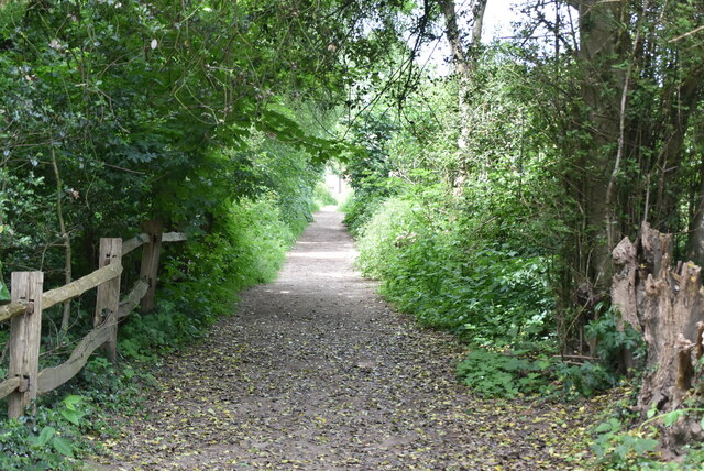
Cow Wood and Harry's Wood
Cow Wood and Harry's Wood is a 75.5-hectare (187-acre) biological Site of Special Scientific Interest east of Handcross in West Sussex. it is in the High...

St Leonard's Forest
St Leonard's Forest is at the western end of the Wealden Forest Ridge which runs from Horsham to Tonbridge, and is part of the High Weald Area of Outstanding...
Related Videos
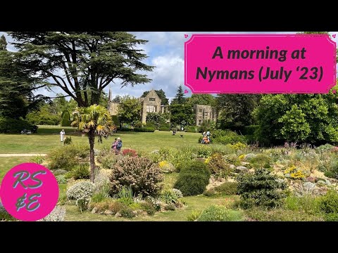
A morning walk around the grounds at Nymans (July 2023)
Join us for a trip to Nymans, a National Trust property in West Sussex (England). We visited the Welcome Cafe (twice...) and had a ...
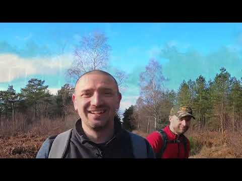
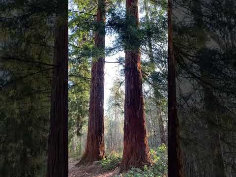
Walks in Sussex: St Leonards Forest
A walk through St Leonards Forest in Horsham via Colgate, Buchan Country Park and Faygate. Includes history and dragons.
Nearby Amenities
Located within 500m of 51.052203,-0.22661463Have you been to Carterslodge Pond?
Leave your review of Carterslodge Pond below (or comments, questions and feedback).